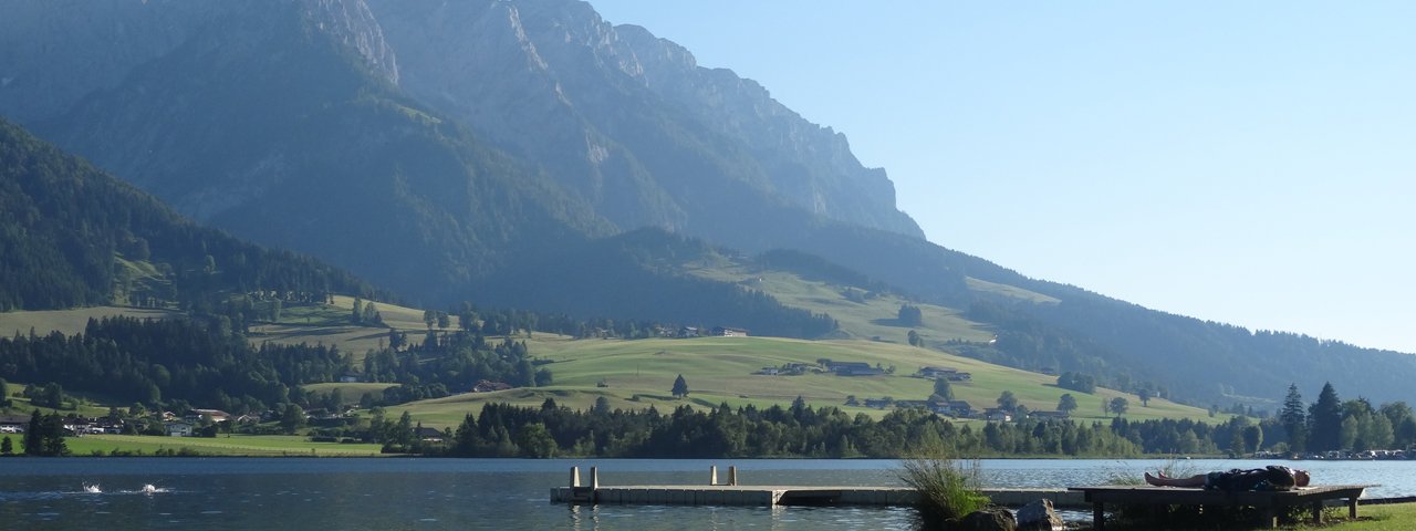
The Kaiserwinkl region, which take its name from the Kaiser Mountains at its heart, has managed to maintain its traditional character despite becoming increasingly popular with tourists in recent years. The region has 200km of signposted hiking trails, 70km of bike routes and around 30 traditional mountain huts serving food and drink. Lake Walchsee itself is one of the largest swimming lakes in Tirol and surrounded by towering summits. The water is warm in summer and ideal for swimming. This ride starts at the wheelchair-friendly Hotel Waidach Hof, leads around Lake Walchsee and back to the starting point.

Lake Walchsee Loop
Starting point
Lake Walchsee
Hike to
Car park at Waidachhof in Kössen
Finishing point
Lake Walchsee
Mountain chain
Kaiser Mountains
Length
26 km
Riding time
2h
Features
- Circular route
- Handicap-accessible
- Route with e-bike charging station
Difficulty rating
easy
Altitude
Elevation uphill 423m
Vertical metres downhill 336m
Fitness level
Technique
Best time of year
* These are approximate values and recommendations. Please take your personal fitness level, technical ability and the current weather conditions into account. Tirol Werbung cannot guarantee that the information provided is correct and accepts no liability.
Trail description
Route description for handbike riders
Starting at Kössen in front of the Hotel Waidachhof, cross the main road heading right and continue towards the Brennwirt guesthouse. At first, do not follow the sign for the cycle path (Radweg), but instead head past the Annakapelle chapel, then at the main road ride left for a short section onto the cycle path following the course of the main road. Then turn off onto a small road towards the Hacklhof. After a very steep section of 200m, pass the Hacklhof and Riedlhof and follow the sign for the cycle path (Radweg). After the Riedlhof there is a rolling section, mostly downhill, and then cross the main road to the eastern shore of Lake Walchsee, head to the southern shore and follow the signs for the cycle path all the way to Durchholzen. There, once again take the cycle path running parallel to the main road and stay on it as far as the fire station. Take the Rettenschöß turning towards the golf course. Before reaching the course, head back into Walchsee. Ride back along the northern shore and after reaching Walchsee turn left onto the road leading to the Hacklhof in the direction of Kössen. The last part of the cycle path to Kössen is not tarmaced but can be easily negotiated.
Overall experience for handbike riders
The handbike ride from Kössen to Lake Walchsee leads through beautiful landscapes along well-maintained paths. The short but sharp 200m climb near the start has a gradient of up to 14%. Once this has been overcome, the rest is rolling and downhill to Lake Walchsee. Riders then complete a loop of the lake and head back to Kössen. Throughout the ride there are fine views of the Kaiser Mountains. The climb requires good basic fitness, though the route overall is rated easy to intermediate.


