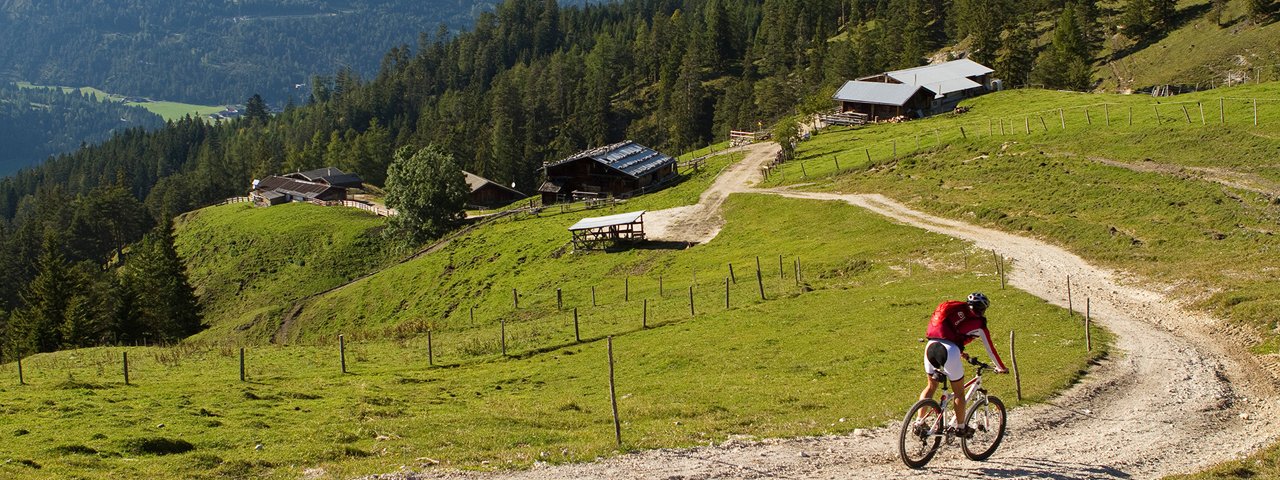
This ride is perfect for all those in search of changing scenery and plenty of climbing. It leads around the three peaks of the Unnütz Mountains. Highlights include high-speed descents, secluded spots and fantastic views of Lake Achensee and the Seekarlspitze mountain. En route there is are several huts serving food and drink: the Köglalm, the Schönjochalm and the Jausenstation Gasthof Waldhäusl in Steinberg am Rofan. A charging station for e-bikes is located at the start of the ride in Achenkirch.

Mountain Bike Ride
Starting point
Achenkirch am Achensee
Finishing point
Achenkirch am Achensee
Mountain chain
Brandenberg Alps (Rofan)
Length
26.6 km
Riding time
3h
Features
- Circular route
- Handicap-accessible
- Route with e-bike charging station
- Sportshop Achensee, building number 114, Achenkirch
- Sport Busslehner, building number 185, Achenkirch
- Resort Achensee, building number 173 – 177, Achenkirch
Difficulty rating
medium
Altitude
Elevation uphill 710m
Vertical metres downhill 710m
Fitness level
Technique
Best time of year
* These are approximate values and recommendations. Please take your personal fitness level, technical ability and the current weather conditions into account. Tirol Werbung cannot guarantee that the information provided is correct and accepts no liability.
Parking
Adlerpark car park, Sonnberg car park and Falkenmoss car park in Achenkirch
Places serving food & drink
- Köglalm
- Schönjochalm
- Various locations in Steinberg am Rofan
- Various locations in Achenkirch
Downloads
Trail description
From the parish church in Achenkirch, the ride leads along the Dorfstraße road and route 461 hading in a southerly direction. After 2.3 kilometres, at the crossroads, turn left, cross the main road ("Bundesstraße") and ride along the hiking trail. After a few metres you will reach route 402 branching off to the right into the forest. From here things go uphill to the Kaiser-Maximilian-Rast, along the Köglweg trail to the Köglalm hut at 1,420 metres above sea level. Follow route 461 to the Kögljoch ridge. Here, at the highest point of the ride, the descent begins to the Schönjochalm hut at 1,289 metres and through the Schönjochtal Valley to Steinberg am Rofan. From there, take route 461 back to the starting point in Achenkirch.
The ride can also be completed in the opposite direction.


