Roadbike Ride
The Ötztal Glacier Road

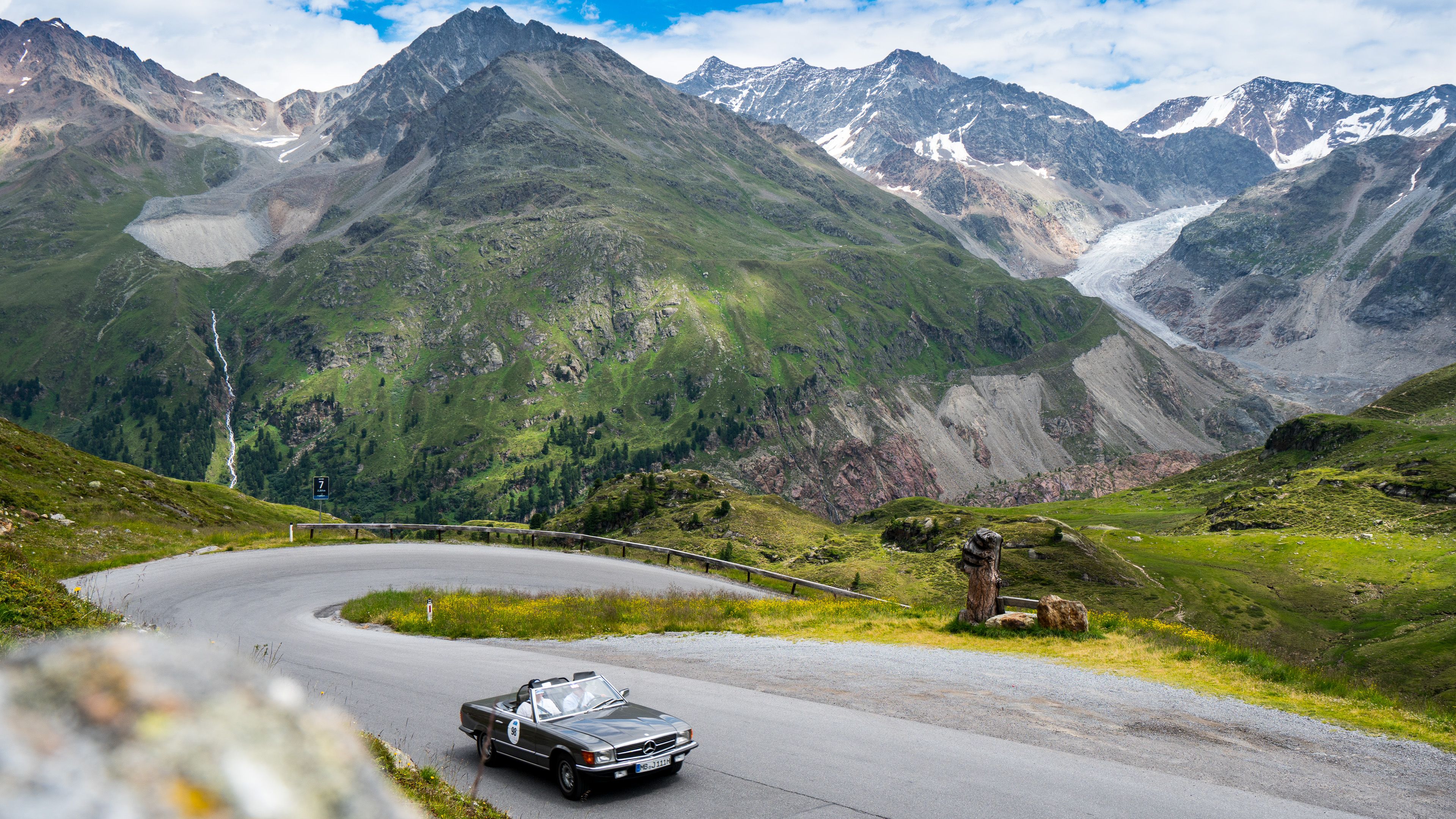
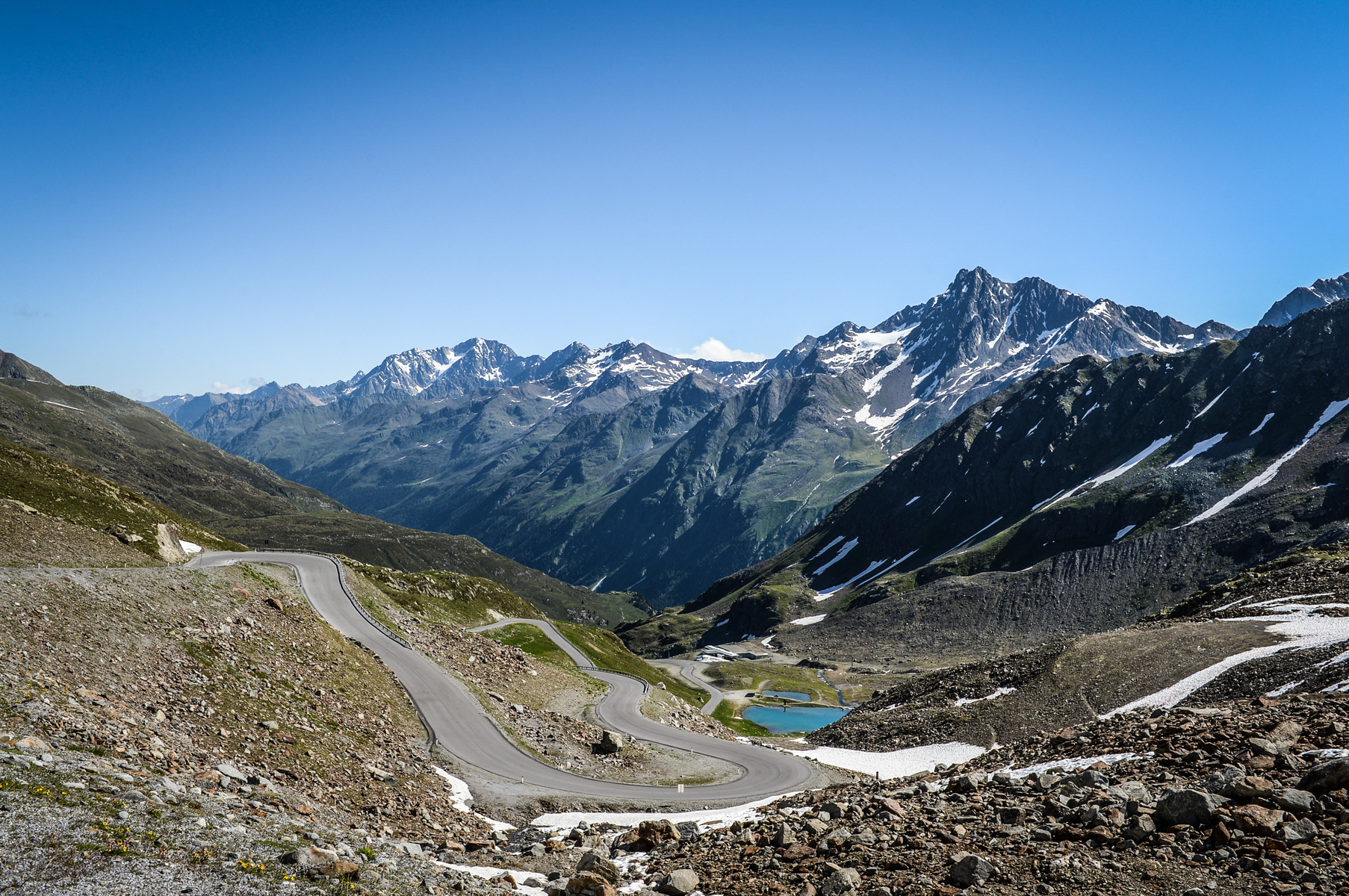
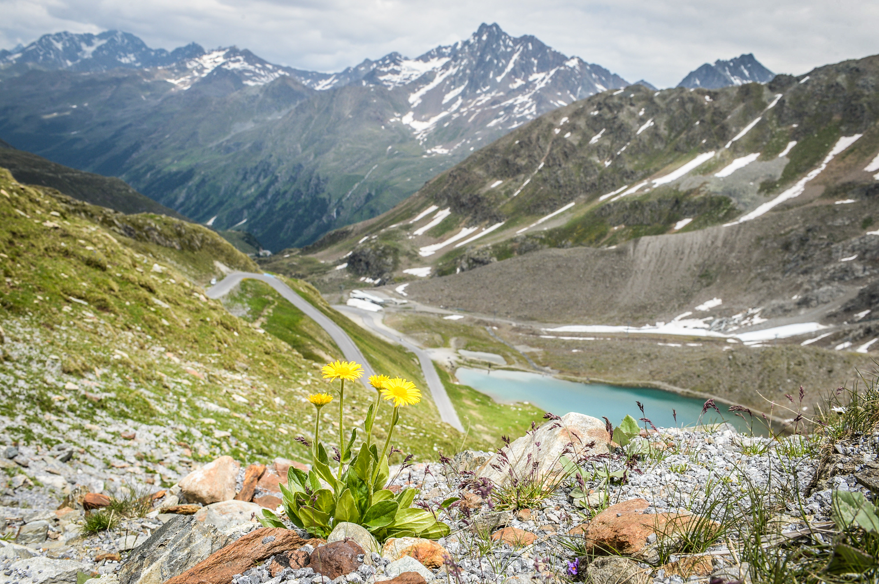
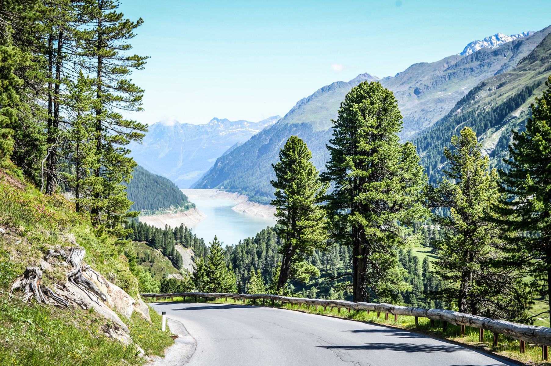
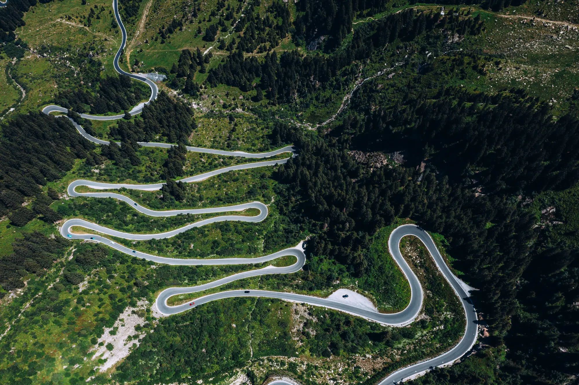
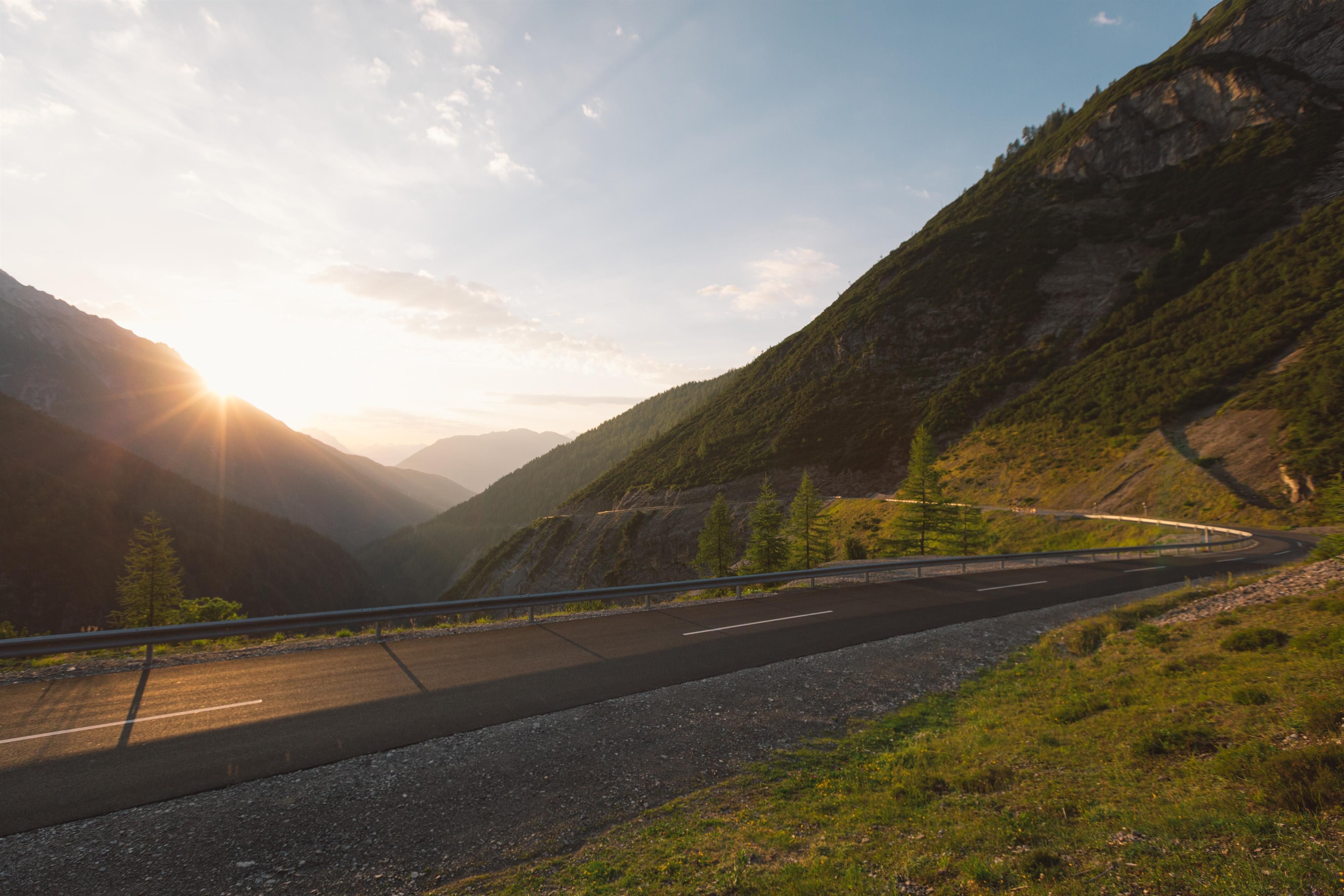
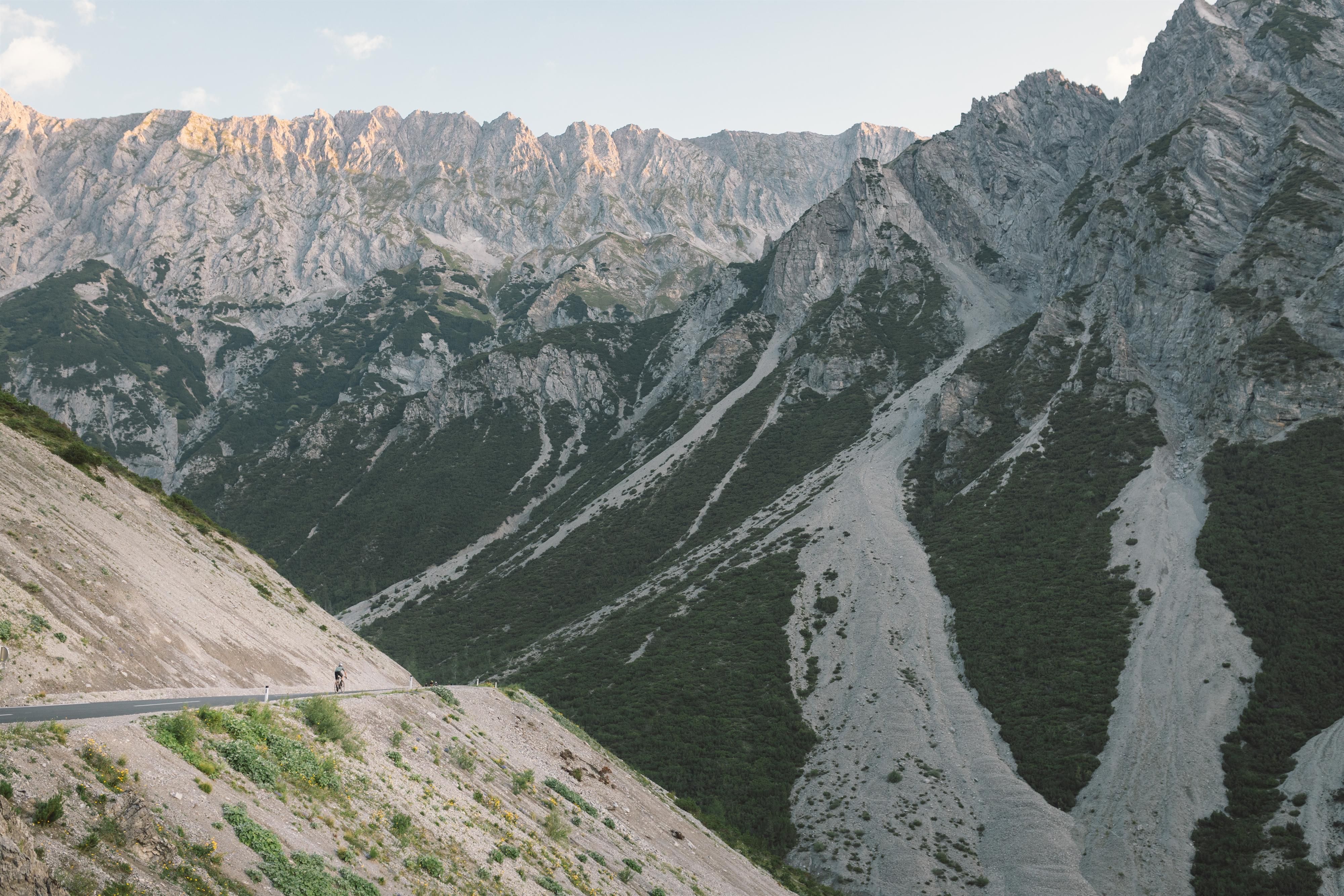
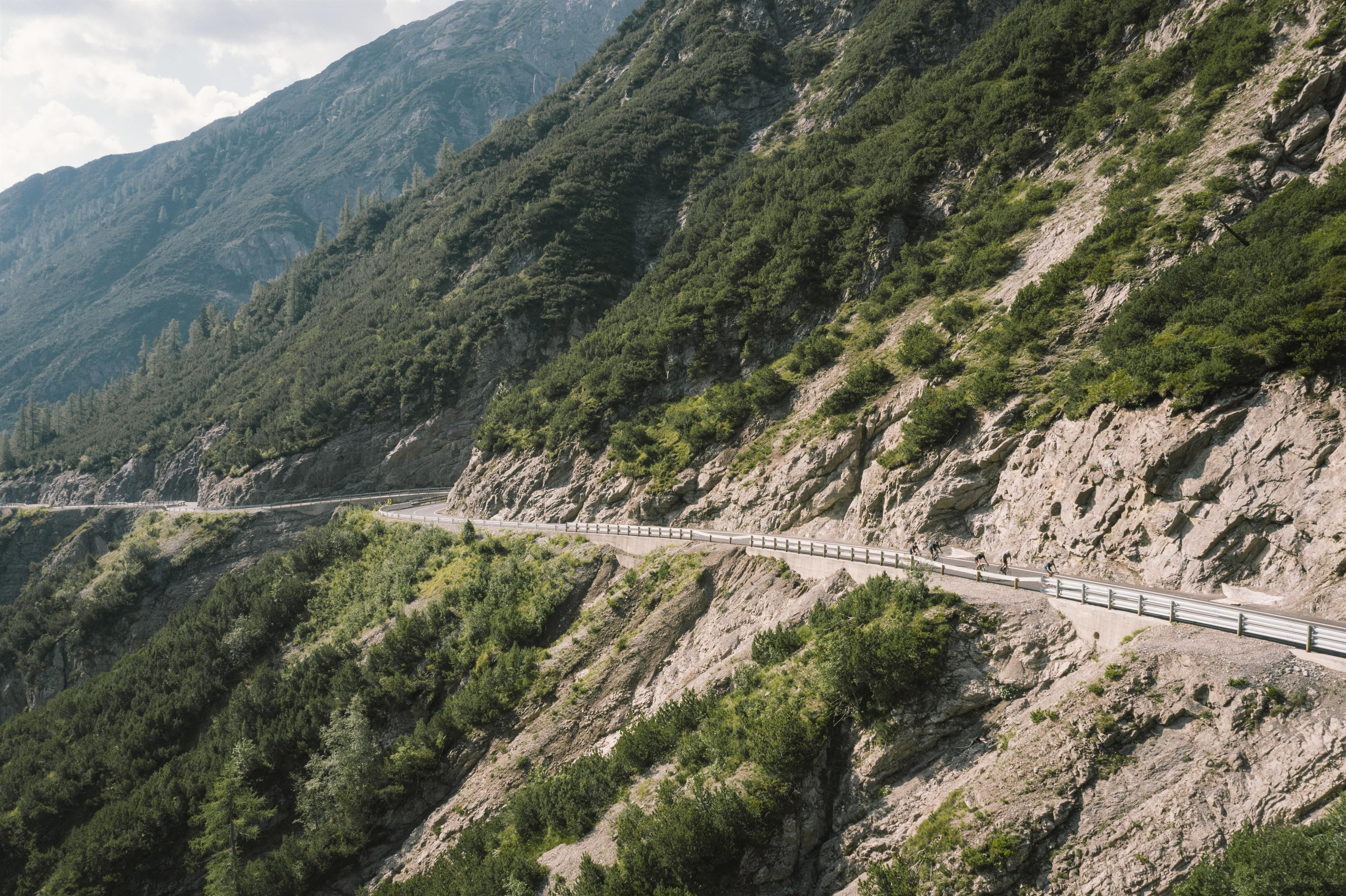
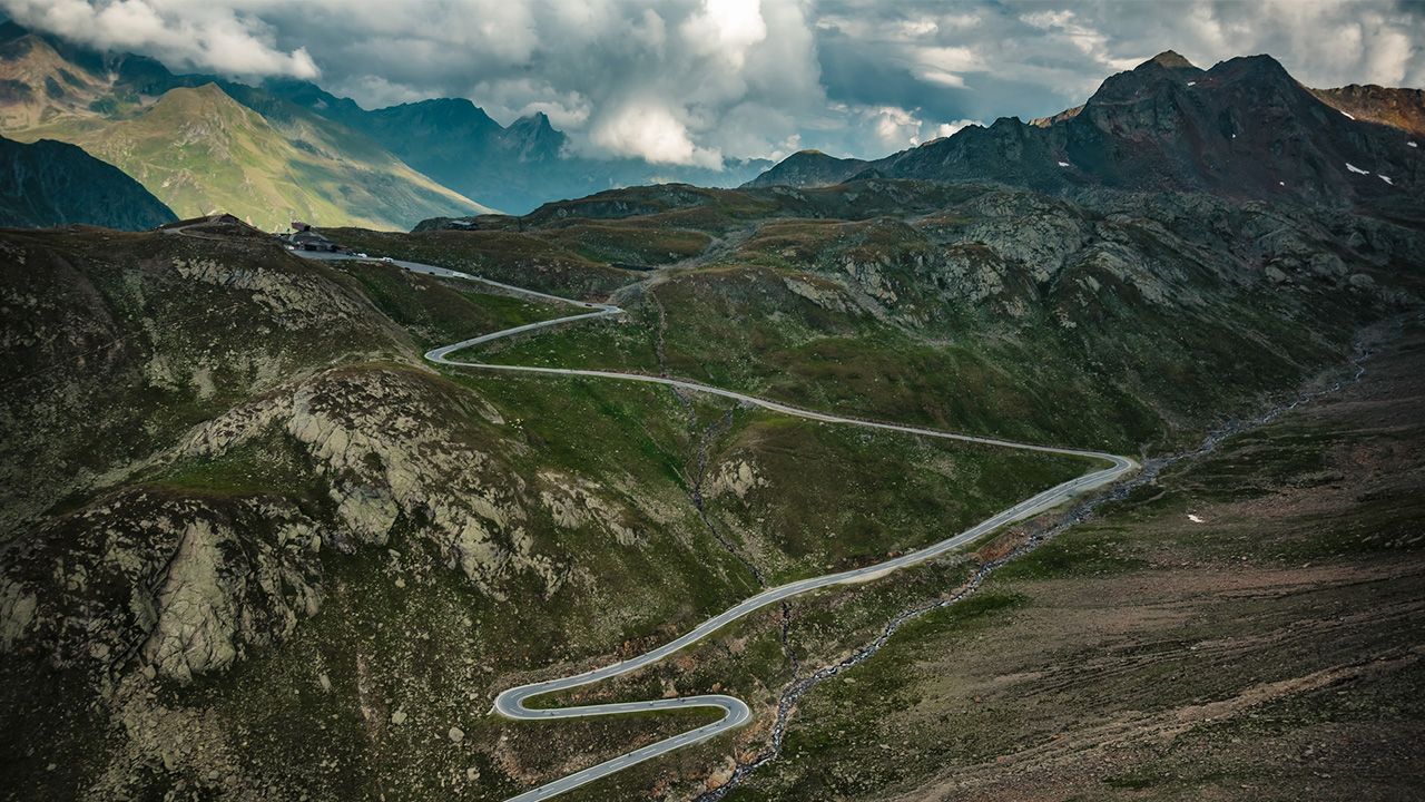
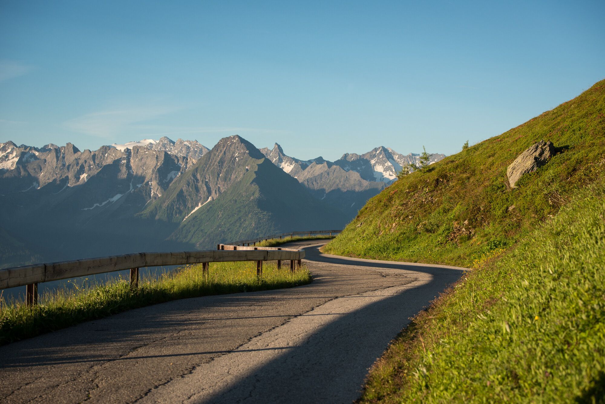
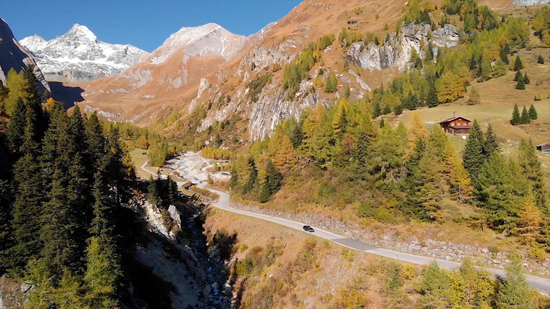
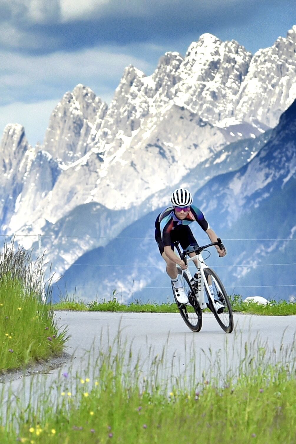
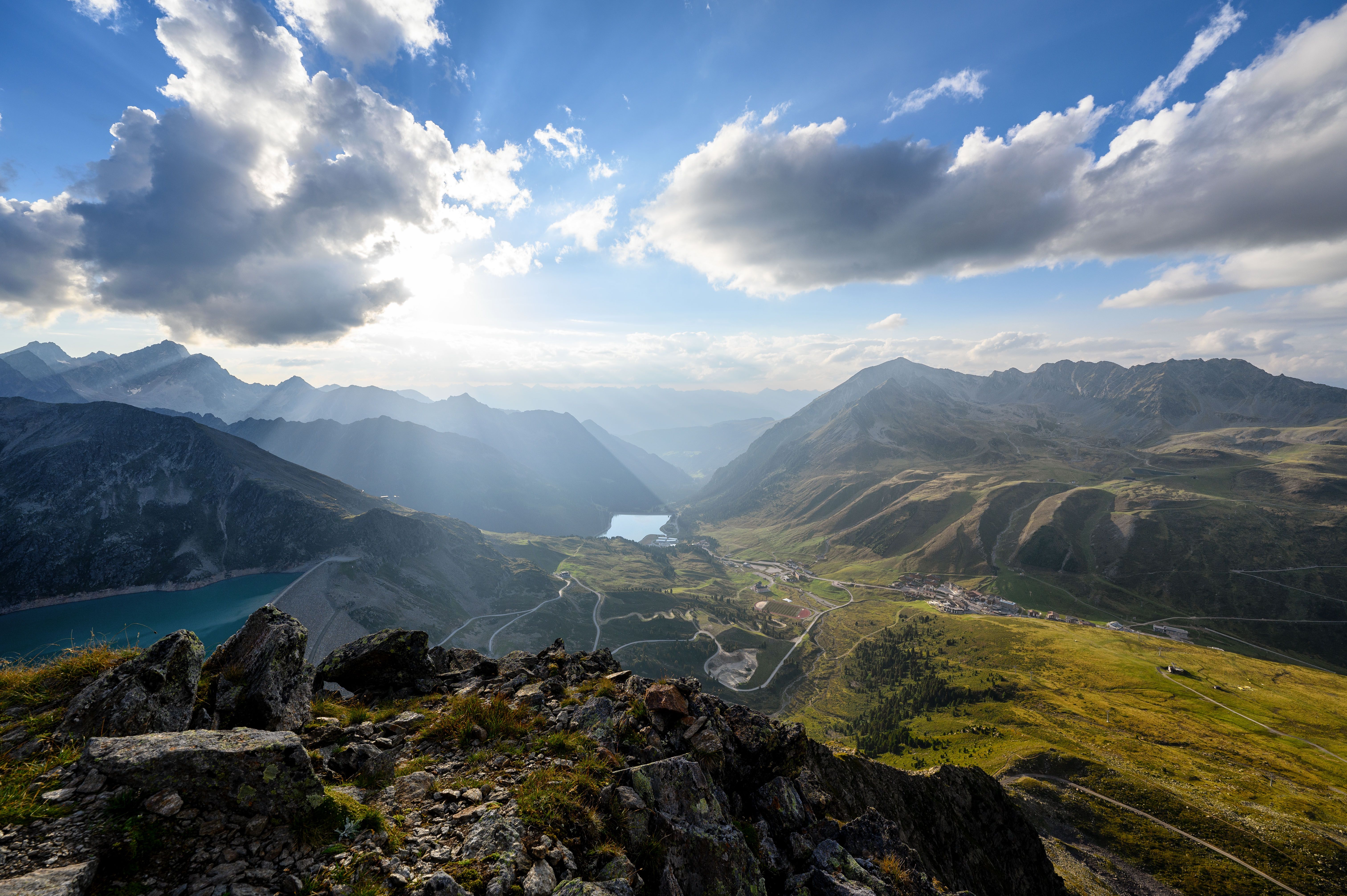
The Ötztal Glacier Road is around 13.5 kilometres long and has an average gradient of 10.5%. It leads to the highest point in Austria accessible by road bike, at 2,830 metres above sea level. Built in 1972, the road is a challenge for even the fittest of riders and leads from the village of Sölden through the spectacular Rettenbachtal Valley up to the glacier ski resorts at the end of the Ötztal Valley. After 14.5 kilometres and after passing through the Rosi-Mittermeier-Tunnel, the highest tunnel in the Alps, riders reach the Rettenbachferner and Tiefenbachferner glaciers.

Thomas Pupp, © Franz Oss

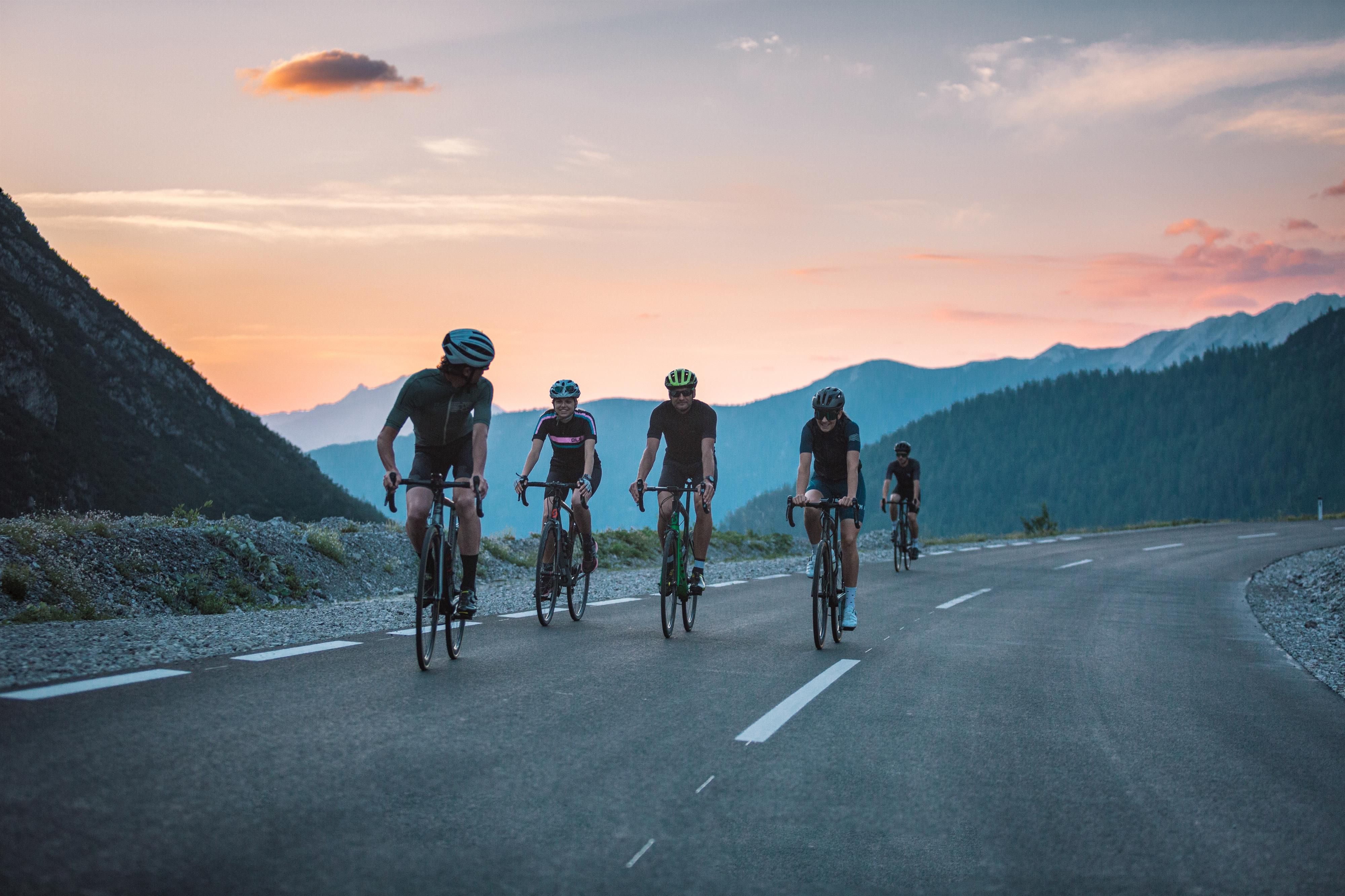
"At 2,830 metres above sea level, the highest point in Austria accessible on a roadbike. Jan Ulrich called the climb up the Ötztal Glacier Road 'cruelty to animals' and Jens Voigt wanted to 'call the mountain rescue and issue an avalanche warning'. Any more questions?“

Thomas Pupp, founder of the Tirol Cycling Team

Open interactive map

Starting point

Sölden

Finishing point

Sölden

Mountain chain

Ötztal Alps

Length

31 km

Riding time

3h

Features

  • Circular route
  • Handicap-accessible
  • Route with e-bike charging station

Difficulty rating

difficult

Altitude

3,025m 1,360m

Elevation uphill 1,550m
Vertical metres downhill 1,550m

Fitness level

Technique

Best time of year

Jan
Feb
Mar
Apr
May
Jun

Jul
Aug
Sep
Oct
Nov
Dec

* These are approximate values and recommendations. Please take your personal fitness level, technical ability and the current weather conditions into account. Tirol Werbung cannot guarantee that the information provided is correct and accepts no liability.

Parking

Gaislachkogelbahn cable car bottom station

Downloads

Trail description

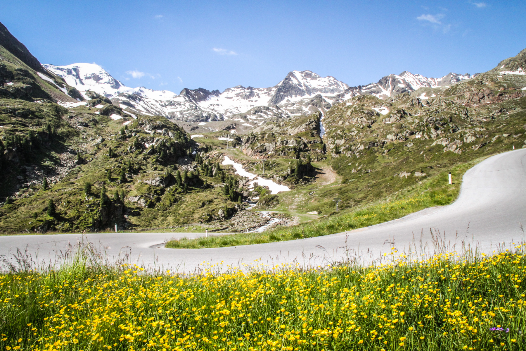
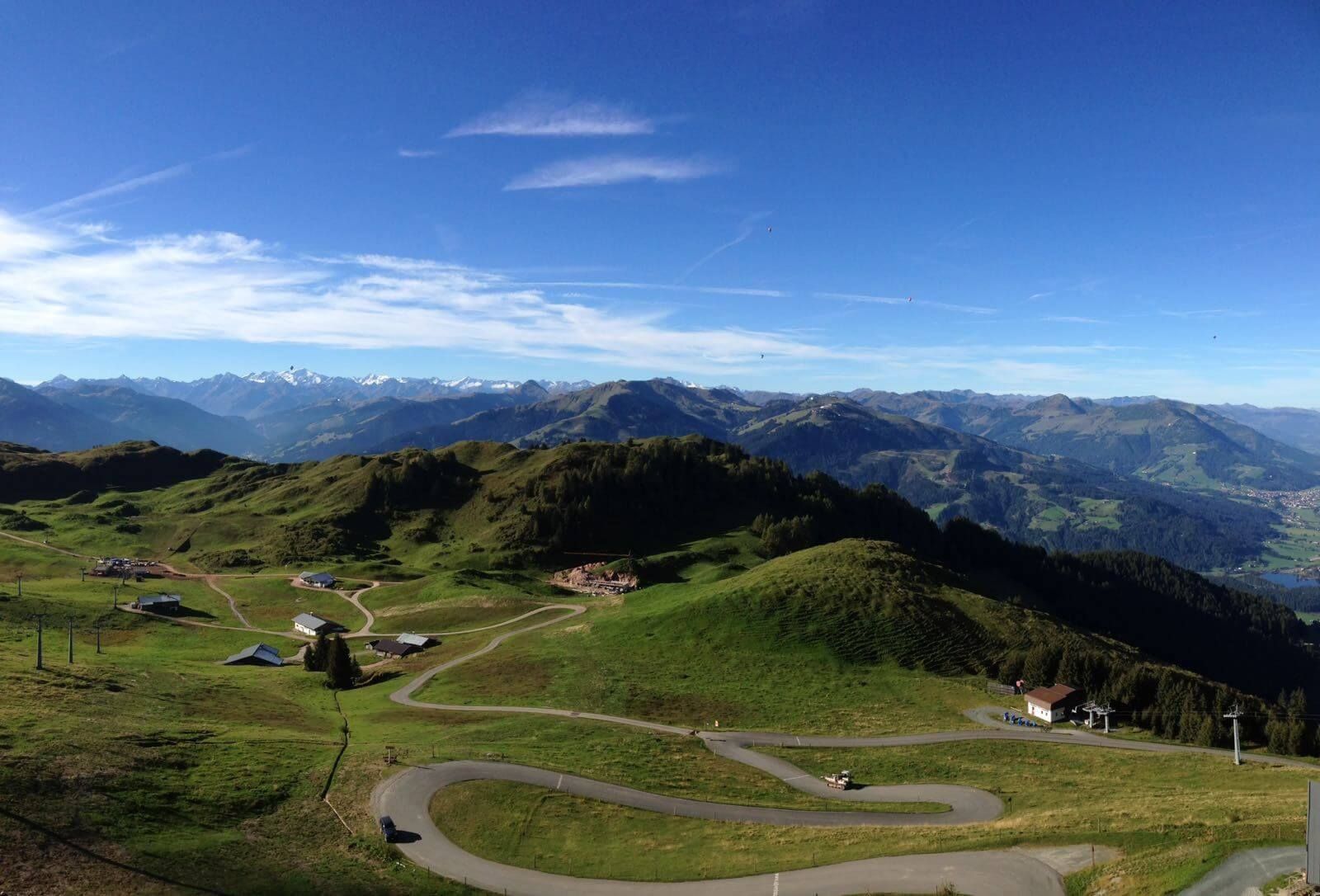
The climb to the famous summer ski resort of Sölden demands either extremely strong calf muscles or a third chain ring! Turn right just after Sölden and you will almost immediately be confronted with a continuous uphill gradient of 13 per cent. Only after around five kilometres, just before the toll booth, can you enjoy a little respite, before having to contend with the final 800 metres in altitude – and a predominantly 13% gradient yet again. A large signpost is placed at every turn which informs cyclists on exactly how far they have to go. Increasingly thin air means that the final few kilometres up to 2,829 metres above sea level is a challenge that takes you right out of your comfort zone.

Tip! At the top station of the lifts you have the opportunity to stop for refreshments and celebrate your mountain victory.

The downhill run presents no major difficulties. Most sections are clearly visible, allowing you to get back down to Sölden in almost no time at all.

Place along the route

Arrival date

How to get here by plane, train, bus or car.

Ihr Ziel: The Ötztal Glacier Road (46.9595,11.0088)

powered by Rome2Rio

Search accommodation

Number of travelers

How did you like this article?

Want to receive an answer? If so, please get in touch using the contact form.

Go up

Is your inbox in need of a holiday?

Then subscribe to our weekly newsletter full of exclusive holiday tips from Tirol!