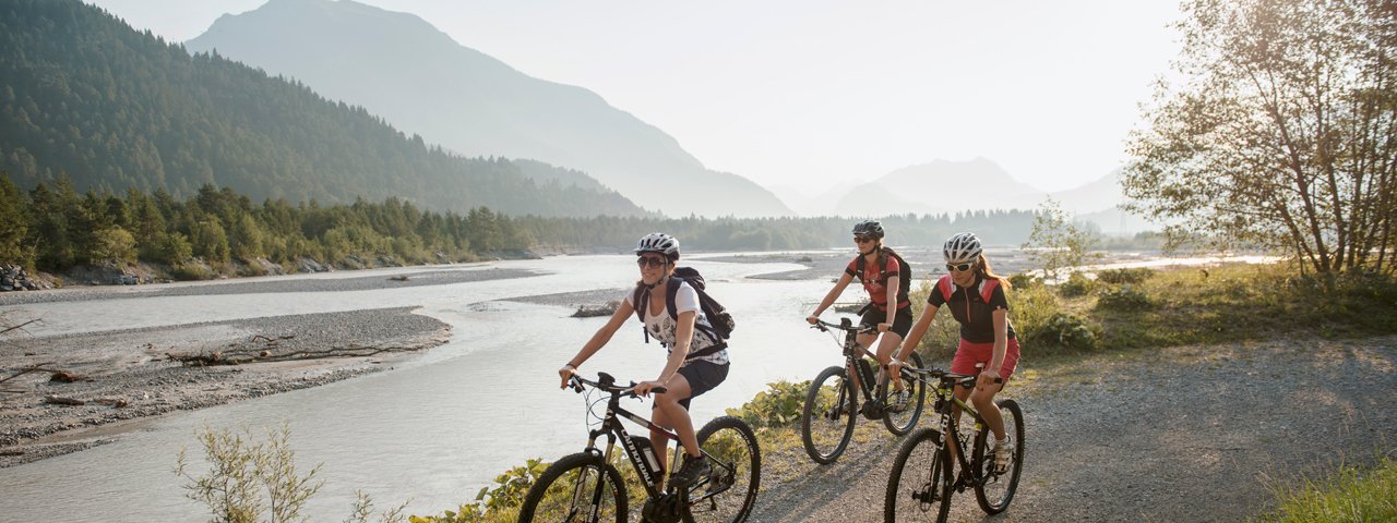
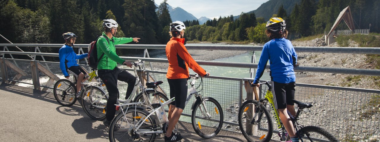
Enjoy the captivating sights and sounds of nature on the 52-kilometre-long Lech Cycle Path leading along the banks of Europe's last untamed river. The beautiful path winds its way from Reutte to Steeg, where the Kaiserbach stream empties into the Lech river. This awesome four-day ride allows you to appreciate the stunning natural scenery and enjoy some excellent local food. The Lech river is one of the last untamed rivers in the Alps. You’ll cycle past vast shingle banks, across some of Europe’s most beautiful riverside woods, and along lush and verdant meadows. En route there is accommodation in local villages if you wish to stop off. There is a variation of the Lech Cycle Path which is suitable for wheelchair users.


Starting point
Reutte
Finishing point
Steeg
Mountain chain
Lechtal Alps
Length
52 km
Riding time
4h
Features
- Circular route
- Handicap-accessible
- Route with e-bike charging station
Difficulty rating
medium
Altitude
Elevation uphill 620m
Vertical metres downhill 350m
Fitness level
Technique
Best time of year
* These are approximate values and recommendations. Please take your personal fitness level, technical ability and the current weather conditions into account. Tirol Werbung cannot guarantee that the information provided is correct and accepts no liability.
Trail description
Day 1: Reutte – Vorderhornbach
Distance: 24 kilometres | Total riding time: 1 hour 45 minutes
The first section of the Lech Cycle Path takes you from Reutte/Lechaschau via Höfen and Weißenbach to Vorderhornbach. A short section follows the main road (Bundesstraße) before emerging onto a specially designated riverside cycle path that follows the course of the Lech River through sunny pine forests. On your way you’ll pass many areas of natural beauty, including the Weißenbachsee lake, a gorgeous spruce forest with amazing views of the jagged peaks of Hornbach Mountains, the suspension bridge and the rushing waterfall at Forchach. Keep your eyes open for wide pastures in Errachau with their tamarisk bushes, limestone fens and rough pastures.
Day 2: Vorderhornbach – Häselgehr
Distance: 10 kilometres | Total riding time: 45 minutes
The second day's ride is easier and shorter, with numerous trailside inns and restaurants in Martinau, Klimm and Häselgehr. It winds along the foot of mighty Klimmspitze mountain, where you will pass a wild-animal feeding area. Following the Lech river upstream, the river tapers off more and more and you can capture stunning views of the surrounding mountain scenery. On your way you’ll pass the Pfeilspitze mountain with its soaring tussock slopes, the rugged cliffs of the Rotwand, the Lichtspitze mountain and the craggy Dolomite peaks of Hornbach Mountains, Bschlabs Valley and Hahntennjoch high mountain road. This stage ends in the village of Häselgehr, where Emperor Maximilian hunted stags in the early 16th century.
Day 3: Häselgehr – Bach
Distance: 12 kilometres | Total riding time: 45 minutes
The third day's route is easy and takes you through Elbigenalp, the main village in the Lechtal Valley. It has become famous for its wood-carving school and is home to the legendary “Geierwally”, an important figure in local folklore. Theatre performances are staged here each summer on the spectacular outdoor stage in the Bernhard gorge. Elbigenalp is also the former holiday retreat of Maria of Prussia, Queen of Bavaria. Its delightful outdoor swimming pool is the perfect place to cool off on a hot summer’s day.
Day 4: Bach – Steeg
Distance: 10 kilometres | Total riding time: 45 minutes
The last day offers an easy ride once again, taking you to the picturesque village of Holzgau known as the 'Pearl of the Lechtal Valley'. This lovely place is home to former Austrian ski racer Pepi Strobl and is famous for the distinctive art of wall-painting that adorns many of its homes. A short detour to the nearby Höhenbach canyon with famous Simms waterfall is strongly recommended. The route passes the end of the pristine Sulzltal Valley and crosses the Lech river several times via bridges. In the settlement of Dickenau, the Kaiserbach stream empties into Lech river . Eventually you will reach the village of Steeg marking the end of the Lech Cycle Path.
Handbike-accessible route: Höfen – Vorderhornbach – Höfen
Distance: 41 kilometres | Total riding time: 3 hours
Leaving from the football pitch in Höfen, take the cycle path towards Strengen. Mostly tarmac with some short but steep sections, especially after kilometre 16. From kilometre 18 there is a gravel section of around 1.5 kilometres leading to the Naturbad Badolino pool. This swimming pool is wheelchair accessible and has a restaurant. Return along the way you came.
Handbike information: Beautiful handbike ride along the bank of the Lech river. Mostly tarmac, but in some cases quite uneven. The 1.5-kilometre gravel section before you reach the Badolino swimming pool requires a sturdy bike.
Things to see in the area
- The Holzgau suspension bridge spans the Höhenbachtalschlucht gorge. It is around 200 metres long and lies 105 metres above the ground.
- The Highline179 is at 405 metres in length and 110 metres in height the longest suspension bridge in the world. It connects the Ehrenberg Castle ruins with the Fort Claudia near Reutte and is open to visitors all year round.
- The Lech Valley Nature Park is a paradise for fishing. It offers plenty of quiet spots along on of Europe's last remaining untamed river landscape.


