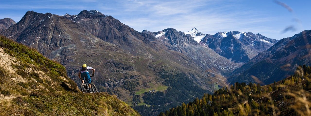
Rated among the quintessential mountain biking trails in the Inner Ötztal Valley, the Schölder Loop is a difficult beast worth riding. It combines traditional mountain huts, peace and quiet in the forests and excellent trailriding above the treeline.The trail is 24 kilometres in length and descends almost 1,000 vertical metres from top to bottom. It requires good bike-handling skills and total concentration, which is why this ride is recommended for advanced riders only.


Mountain Bike Ride
Starting point
Bottom of Giggijochbahn cable car, Sölden
Finishing point
Bottom of Giggijochbahn cable car, Sölden
Mountain chain
Ötztal Alps
Length
22.7 km
Features
- Circular route
- Handicap-accessible
- Route with e-bike charging station
Difficulty rating
difficult
Altitude
Elevation uphill 960m
Vertical metres downhill 960m
Fitness level
Technique
Best time of year
* These are approximate values and recommendations. Please take your personal fitness level, technical ability and the current weather conditions into account. Tirol Werbung cannot guarantee that the information provided is correct and accepts no liability.
Parking
Bottom of Giggijochbahn cable car (free)
Places serving food & drink
- Alpengasthof Sonneck
- Gaislachalm
- Rettenbachalm
- Leiterbergalm
- Edelweißhütte
Downloads
Trail description
This wonderful ride begins at Bike Schule Ötztal in the centre of Sölden. Follow the road south to the BP petrol station. Just before reaching the petrol station, turn off right onto the "Lärchenstraße" road leading to Innerwald. After a few corners you will reach the end of the Teäre Line in the Bike Republic Sölden. Follow the Innerwaldstraße to the Ötztaler Glacier Road and then follow this road around the first corner before turning off sharp left after around 700 metres onto the gravel road to the Gaislachalm hut. Continue via Kolben to the top of the Gaislachkogelbahn 1 cable car. After a short section on a smooth forest road, the Bärtiges Bödel Trail leads down into the Rettenbachtal Valley. Before you get to the Rettenbachalm cross the Ötztaler Glacier Road and after the Rettenbachalm proceed along the easy Rettenbach Alm Trail to Hochsölden. After passing through the village, turn left onto singletrack trail 672 (intermediate difficulty) to the Leiterbergalm hut and follow this for 4.8 kilometres to Sonnleithen. At the Sonnleithenweg road there is a path (before the point where it meets the road) left. Take this back to the bottom of the Giggijochbahn cable car.


