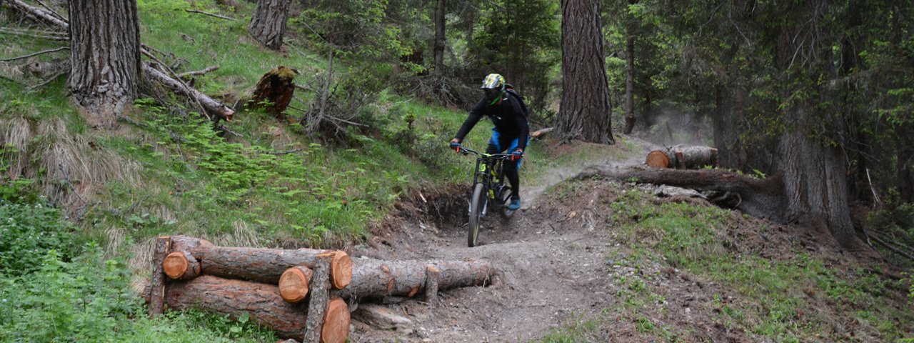
As the first official singletrack trail in the region the Gornerwald Trail represents the foundations for the new Bikepark Kals am Großglockner in East Tirol. Surrounded on all sides by breathtaking mountains, including Austria's highest, the Großglockner, this brand new network of trails is set to be an eldorado for riders of all abilities. The Gornerwald Trail is fast and flowy with a few jumps of different sizes. It is rated between S4 and S5 on the difficulty level, depending on the section.


Singletrack
Starting point
Mid-way station of Gondelbahn Kals 1 cable car
Finishing point
Bottom station of Gondelbahn Kals 1 cable car
Mountain chain
Granatspitz Mountains
Length
3.9 km
Riding time
0 h 30 min
Features
- Circular route
- Handicap-accessible
- Route with e-bike charging station
Difficulty rating
Singletrack diffficult
Altitude
Vertical metres downhill 640m
Fitness level
Technique
Best time of year
* These are approximate values and recommendations. Please take your personal fitness level, technical ability and the current weather conditions into account. Tirol Werbung cannot guarantee that the information provided is correct and accepts no liability.
Parking
Bottom station of Kalser Bergbahnen cable car in Kals
Downloads
Trail description
The Gondelbahn Kals 1 cable car transports mountainbikers up to the mid-way station at 1980 metres above sea level. The start of the trail is around 300 metres north-east of the cable car. From top to bottom riders must overcome around 640 vertical metres, with the final section leading along a forest road. The first part of the Gornerwald Trail is pure natural freeriding through steep forest terrain with a few very technical sections and a number of jumps which can be ridden around by beginners. As riders descend towards the bottom the forest gets thicker and an increasing number of obstacles appear such as steps, rock gardens, small berms and more jumps as well as a few drop-offs and step-ups. The trail ends after around 2.5 kilometres when it reaches a forest road. The final section leads along this wide dirt road down to the bottom of the cable car.
Tip! Freeriders and downhillers will be pleased to know that the new Adler Trail (opening in summer 2018) starting at the top station of the Gondelbahn Kals 1 lift merges into the Gornerwald Trail after around 3.7 kilometres and adds an extra 420 vertical metres of riding for those who simply can't get enough downhill action!


