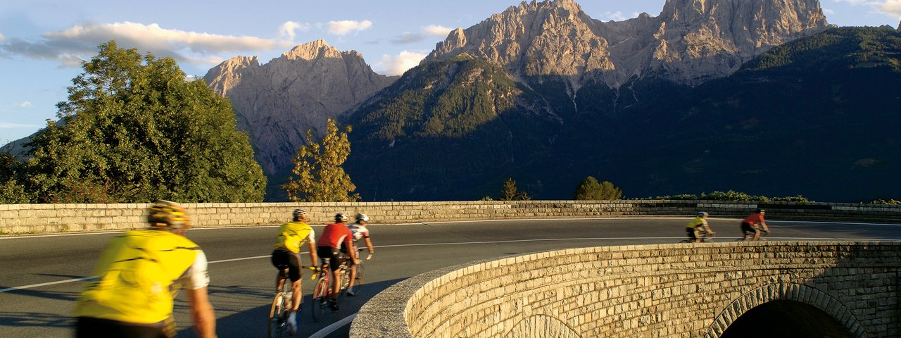
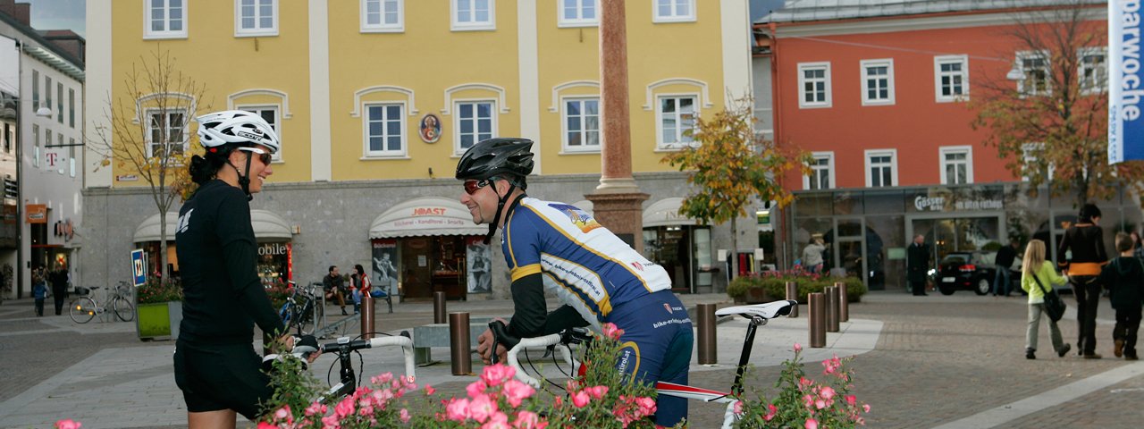
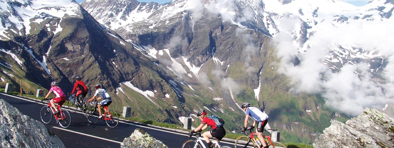
This spectacular loop takes cyclists around the Großglockner, Austria's highest mountain, situated in the Hohe Tauern National Park. At 180 kilometres in length and with a total of 4,755 vertical metres of climbing, it is a real challenge even for experienced riders.The route starts in the village of Winklern near Lienz and leads up over the Felbertauern pass and the famous Großglockner High Alpine Road to the edge of the glacier at Fuscher Törl, which marks the point where the three regions of Tirol, Salzburh and Carinthis converge. The reward for all that hard work is a majestic panorama full of glaciers, snowy peaks, lush meadows and alpine flowers throughout the Hohe Tauern National Park.


Roadbike Ride
Starting point
Winklern
Finishing point
Winklern
Mountain chain
Glockner Mountains
Length
178 km
Riding time
9h
Features
- Circular route
- Handicap-accessible
- Route with e-bike charging station
Difficulty rating
difficult
Altitude
Elevation uphill 4,755m
Vertical metres downhill 4,755m
Fitness level
Technique
Best time of year
* These are approximate values and recommendations. Please take your personal fitness level, technical ability and the current weather conditions into account. Tirol Werbung cannot guarantee that the information provided is correct and accepts no liability.
Trail description
The ride starts in the village of Winklern near Lienz, the largest town in East Tirol. Heading out of the village in a southerly direction, follow the B107 gently uphill via Iselsberg to Stribach. Here, take the first exit at the roundabout and ride along the B107A through Nussdorf-Debant.
As you leave the village the route merges with the B100 and crosses the Isel river before heading into the centre of Lienz. Continue past the railway station and then take the first exit at the roundabout onto the "Felbertauern Bundesstraße" (B108) heading towards Matrei.
The following section takes riders past the Schloss Bruck castle along the banks of the Isel river, gently uphill via Ainet and St. Johann im Walde to Matrei. It is here that the gradient becomes steeper and riders begin the long climb to the Felbertauern tunnel.
Heading along the Tauernbach river, riders make their way through the idyllic Tauerntal Valley boasting fine views of the Hohe Tauern Mountains with their snow-covered peaks and thundering waterfalls.
After passing the Kalser Alm hut the route continues to the Schildalm hut and the Moaralm hut. Here things get even steeper as riders battle their way up two large switchback corners before finally reaching the toll booth at the entrance to the Felbertauern tunnel. Cycling is not permitted inside the tunnel, so riders can instead look forward to a rest as they are transported together with their bike through the tunnel by a shuttle service.
Out on the other side of the tunnel it is time for a fast descent down to Mittersill followed by a flat section along the B168 to Schüttdorf, where riders turn right onto the "Pinzgauer Bundesstraße" (B311) and head towards the village of Bruck on the famous Großglockner Alpine Road.
Once you have reached Bruck, leave the B311 and head towards "Fusch /Großglockner-Hochalpenstraße". The following few kilometres are relatively gentle and a good chance to warm up your leg muscles for the tough climb ahead.
Shortly after passing Fusch you will cross over the Weichselbach river. It is here that the road becomes steeper. The first tough section (9%) to the Bärenschlucht canyon is just 1.5 kilometres in length and offers a small taste of things to come. However, things get easier before they get harder: the following 4km section to the toll booth in Ferleiten averages just 4-5%.
Having ridden around the toll booth on the right-hand side, cyclists continue along the road which now varies between 10% and 12% all the way to the top. On the way up there are impressive mountains to be admired such as the Piffkar (1,620m), Hexenküche (2,058m) and Edelweißwand (2,230m) as you tap out a rhythm all the way to the Fuscher Törl at 2,394 metres above sea level.
Riders who still have enough energy left can turn off the road just before reaching the top and take a deviation to the Edelweißspitze (2,572m) along a two-kilometre cobbled section with a gradient of up to 14%. Hard work for sure, but well worth it for the fabulous views that await atop the highest point on the Glockner High Alpine Road.
After descending back down to the Fuscher Törl, riders can look forward to even more spectacular views of the surrounding mountain peaks and the twisting road carved into the rock before completing the short descent to the Fuscher Lacke (2,262m).
Tired from the climb, it is important to be careful when negotiating the dark tunnel at Mittertörl. It is then time for the final climb of the day up to the Hochtor (2,504m) marking the border between the provinces of Tirol, Salzburg and Carinthia. Once you exit the tunnel there are just a few short uphill sections before the final descent of the day.
It is well worth stopping off here to enjoy the moment and admire the amazing views before you plunge down the south-facing slope via numerous hairpins turns to Heiligenblut before completing the final section along the B107 through the Mölltal Valley back to the starting point in Winklern.
Tip! To avoid waiting around at the Felbertauern tunnel call ahead and let the shuttle service know when you will be arriving (+43 4875 880611). Each shuttle costs €18 and can transport up to six people at the same time. For more information visit the homepage of the Felbertauernstraße.


