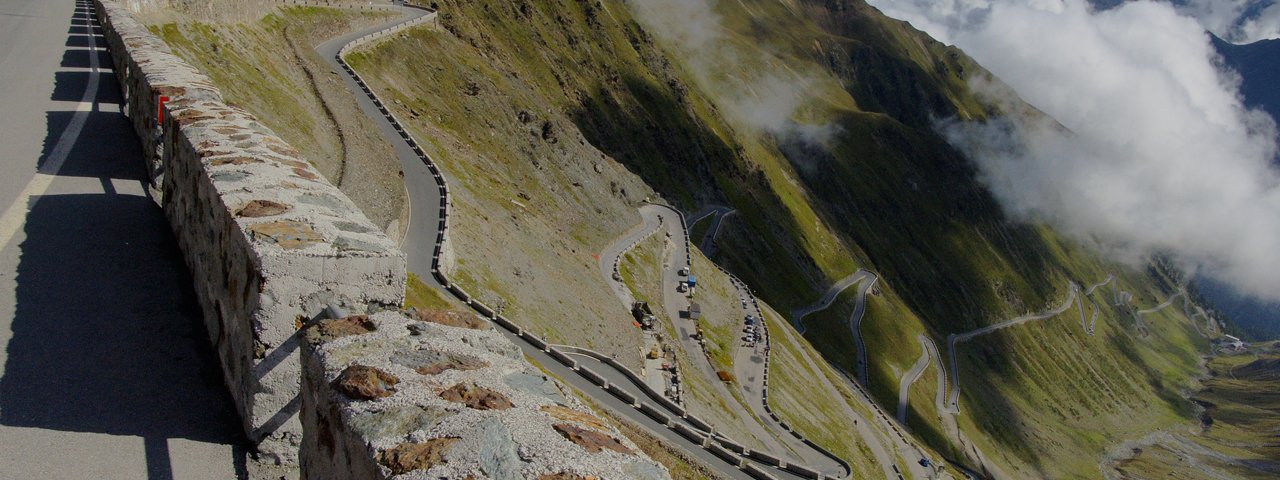
This roadbike ride of intermediate difficulty follows in the tyre tracks of the famous DreiländerGiro bike marathon. Starting in the Austrian village of Nauders – also known in the roadbike scene for hosting the start of the annual Race Across the Alps – the 128km route takes riders first up over the Reschen Pass and the Italian border into the Vinschgau region, then via Taufers through the Münstertal Valley and over the Ofen Pass, before entering Switzerland and passing Zernez and Scuol and finally returning to Nauders. Highlights along the way include the idyllic Münstertal Valley with its picturesque villages as well as the relatively gentle Ofen Pass. Located at 2,149 metres above sea level, this mountain pass may not be the most spectacular in the Alps - there are no steep pitches and no spectacular views to enjoy. However, the absolute peace and quiet that awaits riders in the forest makes it a truly special, almost meditative experience.


Roadbike Ride
Starting point
Nauders
Hike to
Ofen Pass
Finishing point
Nauders
Mountain chain
Sesvenna Alps
Ötztal Alps
Samnaun Mountains
Length
128 km
Riding time
6h
Features
- Circular route
- Handicap-accessible
- Route with e-bike charging station
Difficulty rating
medium
Altitude
Elevation uphill 2,132m
Vertical metres downhill 2,132m
Fitness level
Best time of year
* These are approximate values and recommendations. Please take your personal fitness level, technical ability and the current weather conditions into account. Tirol Werbung cannot guarantee that the information provided is correct and accepts no liability.
Trail description
The ride begins in the centre of Nauders. Leaving the village in a southerly direction, riders gently climb up towards the Reschen Pass. After around 4.7 kilometres the route passes the border crossing between Austria and Italy at 1,455 metres above sea level. Here there is a shorter but slightly steeper section with a maximum gradient of 9% before riders reach the top of the Reschen Pass at 1,507m.
The following descent down into the Italian region of Vinschgau is along a busy road. It is therefore advisable to either ride fast and go with the flow of the vehicles around you or, alternatively, switch onto the Vinschgau Cycle Path which runs parallel to the road. After passing the Reschensee and the Haidersee lakes there is a fast section with lots of sweeping corners all the way down to the village of Mals.
Instead of continuing towards Prad and the famous Stelvio Pass, riders should keep right in Mals and follow the road for Taufers. This charming village marking the border between Italy and Switzerland has a number of churches and other buildings of historical interest well worth a visit.
The following climb up through the Münstertal Valley starts relatively gently, passing the Benedictine monasteries of St. Johann, Santa Maria and Falera all the way to Tschierv. It is here that the road becomes more twisting as it winds its way up in a series of switchbacks to the Ofen Pass. From the top of the pass at 2,149 metres above sea level there are fine views of the Swiss National Park extending towards the west.
The descent to Zernez is not particularly challenging and has only few corners, making it a good place to build up speed. Be aware that there is also a short but sharp bit of climbing in the middle of the descent to keep the legs warm! As you pass through Zernez keep an eye out for Wildenburg Castle, a medieval fortress which was later turned into a Baroque castle.
The road then crosses the Inn river and continues to Susch with its reformed village church, known as the Tuor Planta, and the La Praschun tower dating all the way back to the 13th century.
Following the course of the Inn river, the route takes riders along a rolling section from Susch via Scuol to Martina. Here the final challenge of the day awaits: the climb up onto Norbertshöhe (1,461m) at 6.5 kilometres in length and ascending 426 vertical metres with an average gradient of 7-8%. From the top of the climb all that remains is a fast descent back to the starting point in Nauders.
Alternative route: Riders who don't like busy roads should turn right onto the narrow cycle path (follow the brown signs) in St. Valentin auf der Heide and follow this via Laatsch to Glurns, where they can switch back onto the road leading to Taufers.
Tip! One of the most popular photo motifs in the region is the half-submerged church spire sticking out of Reschensee lake. A great place for a spectacular selfie!


