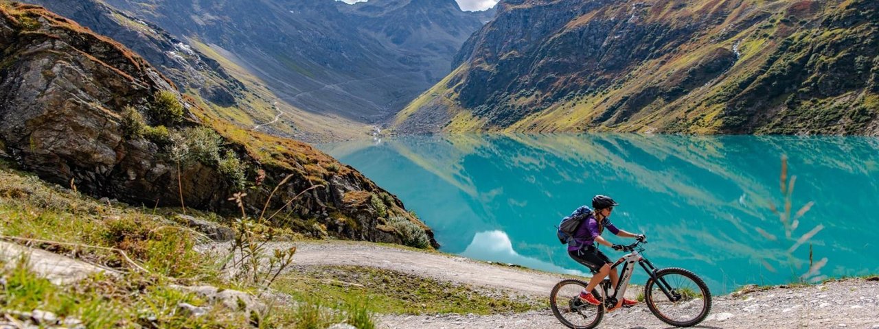
This ride begins in St. Anton am Arlberg and leads through the Moostal Valley, past the turquoise Kartell reservoir to the Darmstädter Hütte hut at 2,384 metres above sea level. The views from the hut are fabulous, but getting to the top requires good fitness and good bike-handling skills. The panorama which awaits takes in many peaks, including the glacier-capped Kuchenspitze, the second-highest peak in the Verwall Mountains. Much of the riding is on rough gravel. The gfinal push from the reservoir up to the Darmstädter Hütte is challenging and demands a strong pair of lungs and steady hands on the bars.

Mountain Bike Ride
Starting point
Car park at WellCom, St. Anton am Arlberg
Hike to
Darmstädter Hütte
Finishing point
Car park at WellCom, St. Anton am Arlberg
Mountain chain
Verwall Mountains
Length
25.2 km
Features
- Circular route
- Handicap-accessible
- Route with e-bike charging station
Tourismusverband, Dorfstraße 8, 6580 St. Anton am Arlberg
Difficulty rating
difficult
Altitude
Elevation uphill 1,160m
Vertical metres downhill 1,160m
Fitness level
Technique
Best time of year
* These are approximate values and recommendations. Please take your personal fitness level, technical ability and the current weather conditions into account. Tirol Werbung cannot guarantee that the information provided is correct and accepts no liability.
Parking
Nasserein car park (pay-and-display)
Rendl car park (pay-and-display)
Places serving food & drink
- Roßfallalm
- Tritschalm
- Darmstädter Hütte
Downloads
Trail description
From the car park at the WellCom spa in St. Anton am Arlberg, take the Hannes-Schneider-Straße road heading in a south-westerly direction. At the roundabout, take the exit into the car park of the Rendlbahn ski lift and take the bridge over the Arlbergstraße road. Then cross the Rosanna river and take routes 771 and 772 steeply uphill, past the Bifangalm après-ski spot, through thick forest into the Moostal Valley. After around 4.3 kilometres on the gravel trail you will reach the Trirschalm hut, a good place to stop for a rest. 1.3 kilometres and 120 vertical metres further on you will get to the Rossfallalm hut. There are a further 420 vertical metres of climbing to be compleled before you reach the Kartell reservoir. At the reservoir, head left and take the rough gravel trail uphill through rocky terrain to the Darmstädter Hütte at 2,384 metres above sea level. Return along the same route back to the starting point in St. Anton am Arlberg.


