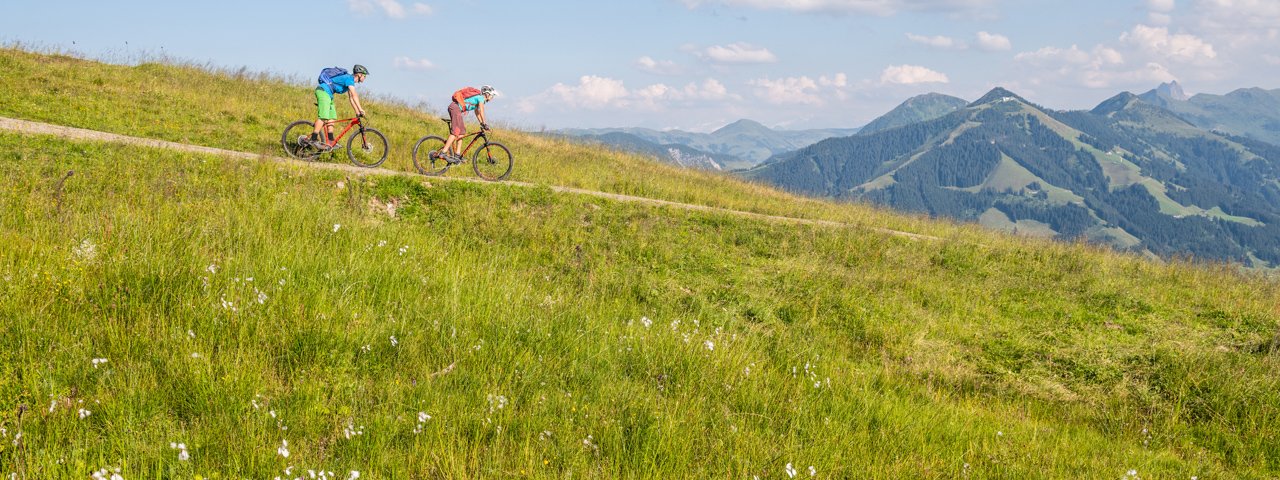
This circular ride leads along forest trails and quiet roads around the 1,828-metre-high Hohe Salve mountain. It begins in Hopfgarten in the Brixental Valley and passes Brixen im Thale before leading through the Kitzbühel Alps into the ski resort on the Salvenberg mountain offering wonderful views of the Wilder Kaiser Mountains. Riders then return via Söll and Itter back to the starting point. There are plenty of huts and mountain restaurants along the way serving food and drink. The ride is 37 kilomtres in length and has 1,120 vertical metres of elevation gain, meaning riders must have good overall fitness.


Mountain Bike Ride
Starting point
Car park at bottom of Bergbahn Salvena cable car, Hopfgarten im Brixental
Finishing point
Car park at bottom of Bergbahn Salvena cable car, Hopfgarten im Brixental
Mountain chain
Kitzbühel Alps
Length
37.5 km
Riding time
3h
Features
- Circular route
- Handicap-accessible
- Route with e-bike charging station
Difficulty rating
medium
Altitude
Elevation uphill 1,120m
Vertical metres downhill 1,120m
Fitness level
Technique
Best time of year
* These are approximate values and recommendations. Please take your personal fitness level, technical ability and the current weather conditions into account. Tirol Werbung cannot guarantee that the information provided is correct and accepts no liability.
Parking
Car park at bottom of Bergbahn Salvena cable car, Hopfgarten im Brixental (pay-and-display)
Places serving food & drink
- Lendwirt in Unterwindau
- Skiwelt-Hütte Hochbrixen
- Filzalm in Hochbrixen
- Bioalm Almfried
- Jausenstation Frankalm
- Silleralm
- Bergrestaurant Gründlalm
- Alpengasthof Hochsöll
- Alpengasthof Salvenmoos
- Various locations along the ride
Downloads
Trail description
Leaving from the car park at the bottom of the Salvena Bergbahn cable car in Hopfgarten, riders head along the Brixentaler Straße road for 500 metres towards Kitzbühel. They then turn off right into the settlement of Elsbethen and follow the cycle path through the settlement all the way to the turning marked bike trail number 274. It is here that the climb begins, leading along the tarmac road past the reservoir and through forests onto the Gruberberg mountain. After 2.8 kilometres, turn left onto route number 206 towards Schwaigerberg fahren and complete a short descent towards Westendorf and Lendwirt as far as Unterwindau. In Unterwindau, cross over the Windauer Ache river and ride for a short section heaidng out of the valley. Before you get to the Lendwirt guesthouse, the route branches off to the right towards Westendorf. After a short climb of around 100 vertical metres through fields and pastures near Westendorf, continue straight on through the centre of the village. At the municipal building ("Gemeindeamt") in the centre of the village turn right and take first the Dorfstraße and later the Bichling Straße to Bichling. Ride past Achenberg and then head in a north-easterly direction to Brixen im Thale. After reaching the Erlensee lake, cross under the railway line and continue as far as the Dorfstraße in Brixen. Turn left onto the Dorfstraße and at Bahngraben turn right onto Unterer Sonnberg and route number 265 taking you to Hochbrixen-Hochsöll. Continue along a tarmac road, later a forest trail, via Oberer Sonnberg and Jodlgraben into the ski resort.
Alternatively, riders can take the cable car from Brixen im Thale to Hochbrixen.
From the top of the cable car in Hochbrixen the profile becomes flatter and lads past the Filzalmsee lake and the Silleralm hut in a westerly direction to Hochsöll. From there, descend for around five kilometres along route 350 heading north via the Salvenberg mountain, Obhaus and Stampfanger as far as Söll. Cross under the main road and ride into the centre of the village. Follow the green signs for the Wilder Kaiser cycle path via Pirchmoos and then along the Loferer Straße road towards Wörgl as far as the bottom station of the Salvistabahn cable car in Schwend near Itter. Shortly after passing the cable car building in Schwendt, turn left and ride uphill towards Itter. This road continues for around 2.5 km through fields and takes riders into the centre of Itter. At the church, continue towards Hopfgarten. At a gentle right-hand corner, turn off onto a smaller road leading to the "Ed" football pitch and then turn left and ride along bike route 269 through the fields. The terrain becomes a little steeper and passes through a small forest on the way to the hamlet of Hacha. Then take the tarmac road down to Hopfgarten and ride towards the church. Finally, take the Schmalzgasse road back to the car park of the Bergbahn Salvena cable car.


