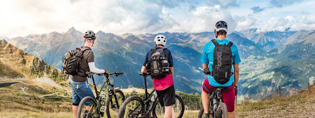
The latest addition to the Bikepark Kals am Großglockner in East Tirol, this trail starts at the top of the Kalser Gondelbahn cable car at 2,500 metres above sea level. Take the time to enjoy the majestic views of the many mountains over 3,000m in this beautiful corner of Tirol before taking on the 3.7km trail characterised by plenty of flow and fun winding its way down through flower-covered meadows. The trail is not particularly steep at any point, which is why it is rated just S1 (easy) on the singletrack difficulty scale.


Singletrack
Starting point
Top of the Gondelbahn Kals I+II cable cars
Finishing point
Mid-way station of the Gondelbahn Kals 1 cable car
Mountain chain
Granatspitz Mountains
Length
3.6 km
Riding time
0 h 15 min
Features
- Circular route
- Handicap-accessible
- Route with e-bike charging station
Difficulty rating
Singletrack easy
Altitude
Vertical metres downhill 433m
Fitness level
Technique
Best time of year
* These are approximate values and recommendations. Please take your personal fitness level, technical ability and the current weather conditions into account. Tirol Werbung cannot guarantee that the information provided is correct and accepts no liability.
Parking
Bottom of Kalser Bergbahnen cable cars in Kals
Trail description
The Gondelbahn Kals I + II cable cars transport mountainbikers up to 2,621 metres above sea level.
The start of the trail itself is just below the top station of the cable car and is clearly signposted. It's action right from the word go, with riders able to look forward to 430 vertical metres of flow and fun all the way down to the mid-way station of the cable car.
The trail winds its way down 60 man-made banked corners above the forest line through open meadows and, for a section, along a ski piste.
Experienced riders will enjoy getting a little airtime on the many jumps and rollers, while beginners can easily roll over these without leaving the ground.
The new Adler Trail ends shortly before reaching the Gornalm hut. From here there are several options for continuing the journey down into the valley: experienced riders can test themselves on the difficult Gornwald Trail, while those who like to take it a little easier can follow mountainbike route 116 ("Gornerbergweg").
Tip! The eye-catching top station of the Kalser Gondelbahn cable car at 2,621 metres above sea level offers fantastic views of many mountains including Austria's highest, the Großglockner. There is also a restaurant serving traditional Tirolean food as well as coffee and cake.


