
Opening hours:
closed
Difficulty:
easy
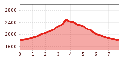
Length:
400 m
Duration:
0:08 h
Elevation uphill:
1 m
5-hour mountain tour to the Marchkopf. Starting point: Zillertal Höhenstraße, Mautstraße, Bereich Zellberg
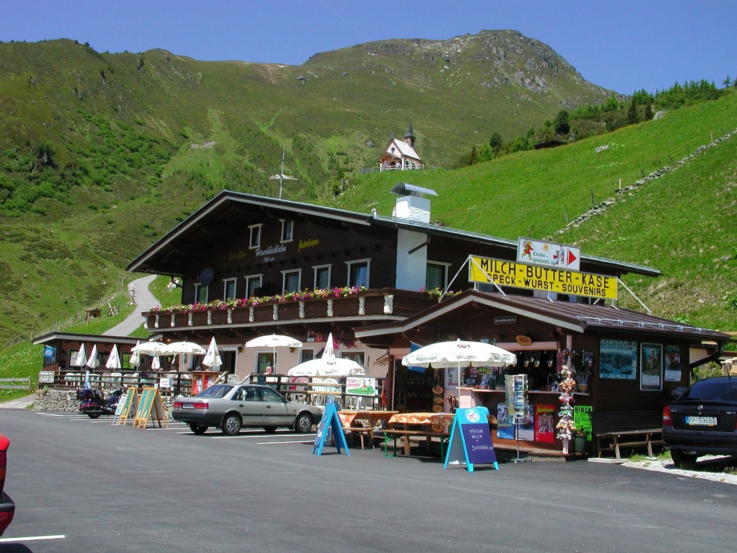
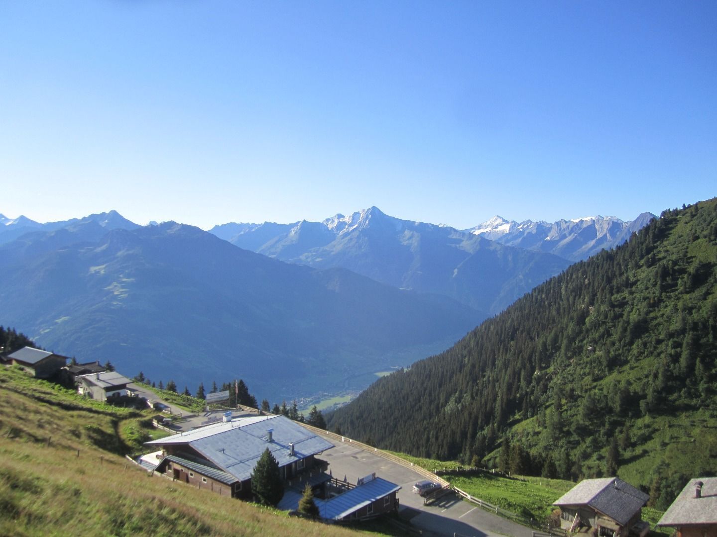

Starting point: Hirschbichlalm, 1,822 m (Zillertaler Höhenstraße - High Road, toll road)
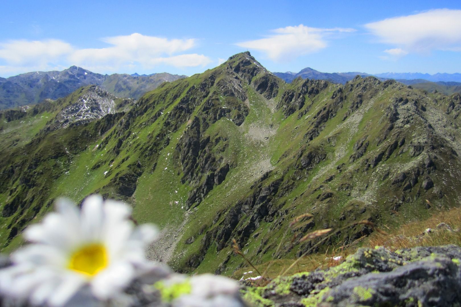
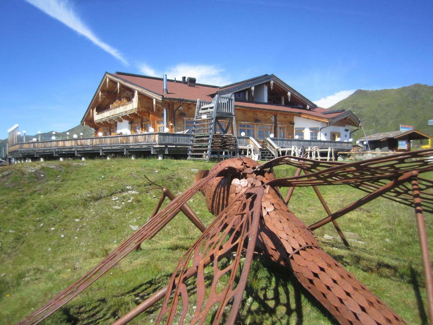
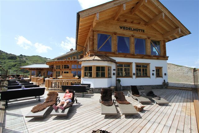
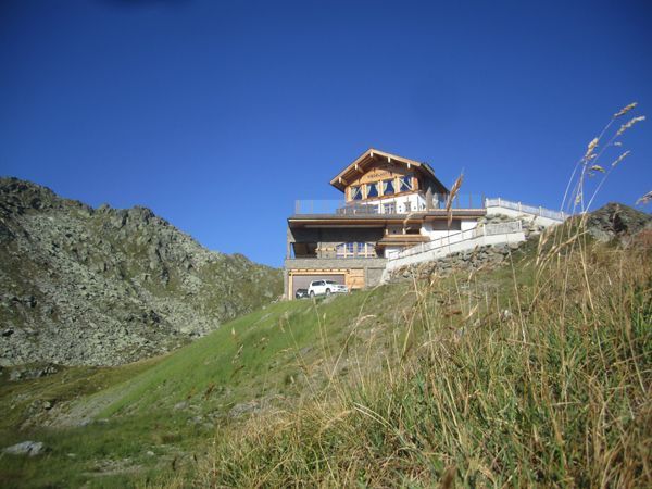
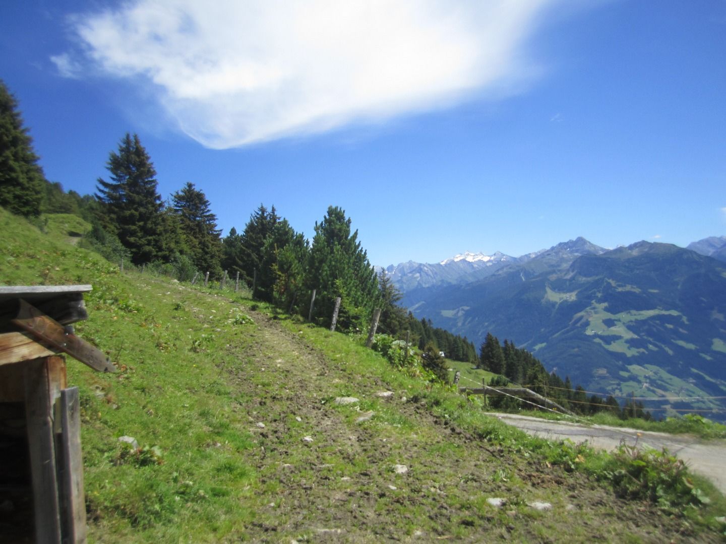
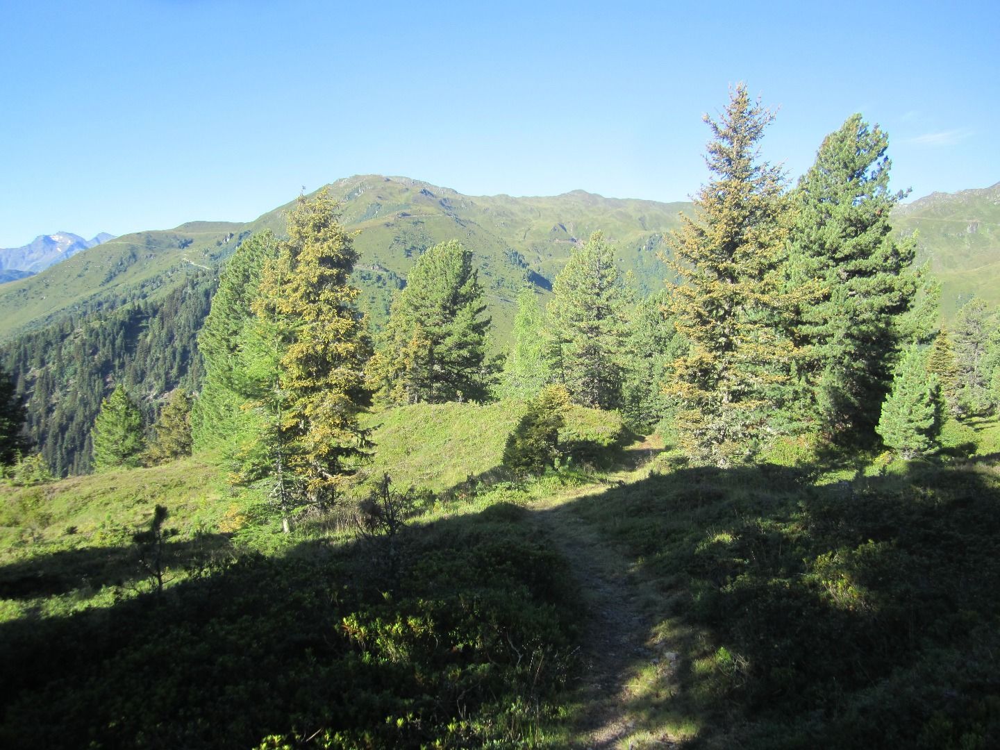
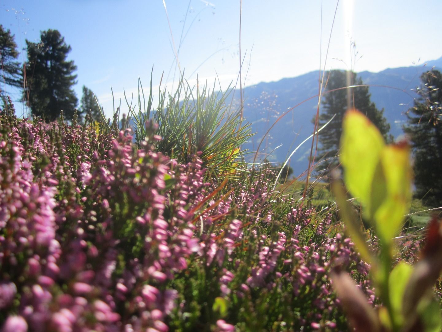
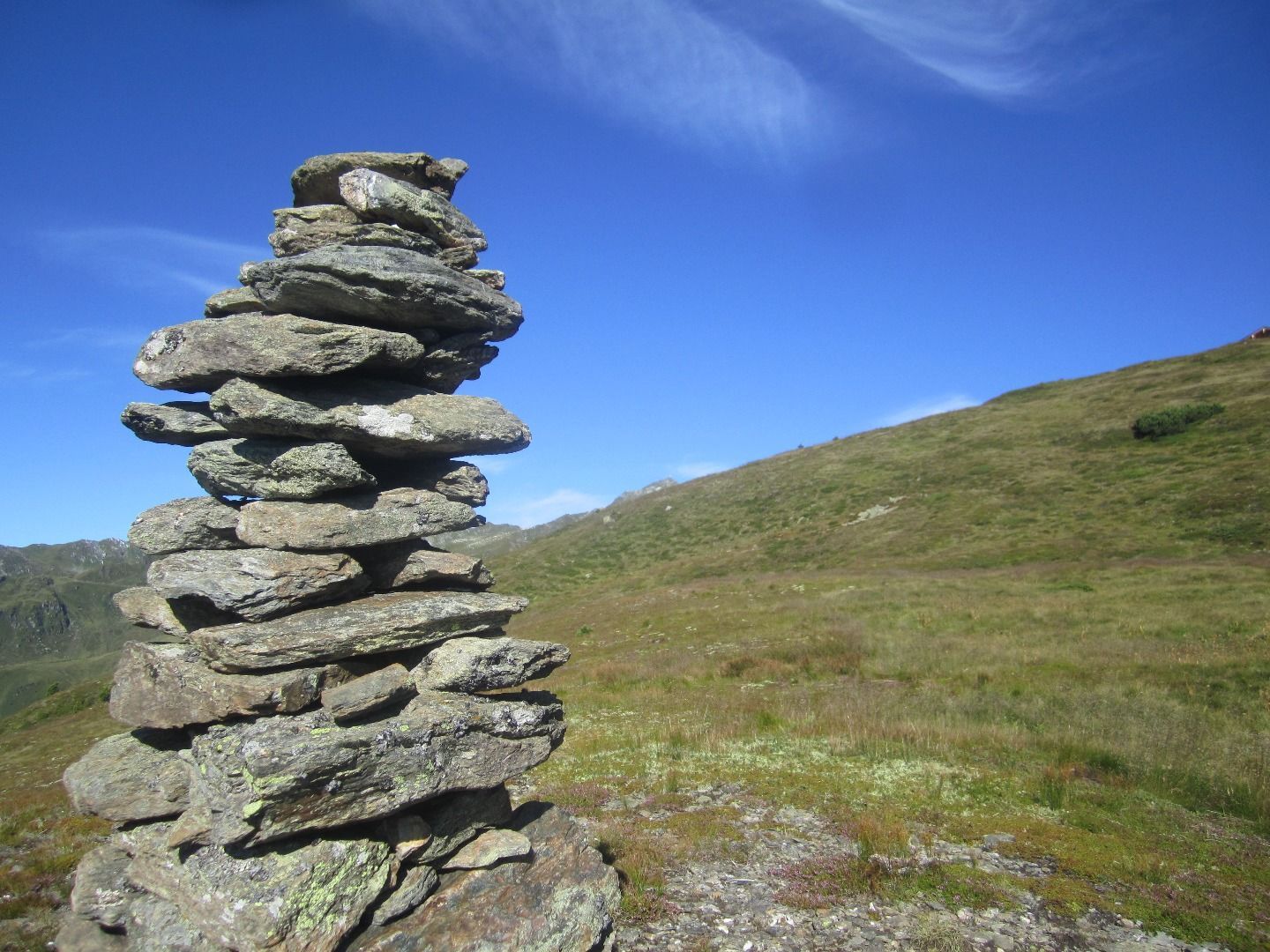
A short piece on the left to the West of the Hirschbichlalm along the street the marked way branches off the street after the huts. Follow the way over the wide pastures of the Krössbrunnalm. The way leads further to the mountain ridge with a wonderful view on a mountain lake. When you have reached the mountain ridge you have a marvellous view on the alpine huts of Hochfügen. There on the right further to the Marchkopf (2,449 m). From the summit it is a short and precipitous descent to the Wedelhütte (2,350 m). From there you follow the marked way through the basin back to the Hirschbichlalm.


