With its sweeping lakes, towering mountains and rushing Lech river, the Reutte Nature Park Region bordering Bavaria is the gateway to the mountains of Tirol.
Situated on the Bavarian border, the Reutte Nature Park Region forms the gateway to the mighty mountains of Tirol. It stretches from Vils in the foothills of the Allgäu Alps, one of Austria’s smallest towns, via the administrative centre Reutte to the village of Weißenbach im Lechtal in the south-west. The Reutte Nature Park Region comprises eleven villages, all of which are located on the Lech river. The Lech is one of the few remaining untamed rivers in Europe and has a unique landscape with its wide river bed and alluvial forests. The region is also characterised by large lakes, such as Lake Plansee at 1,000m altitude, the Lechtal Alps, lush green meadows, rushing streams and a wide valley floor.
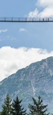
Hanging bridge between two fortresses
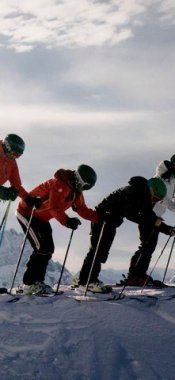
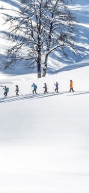
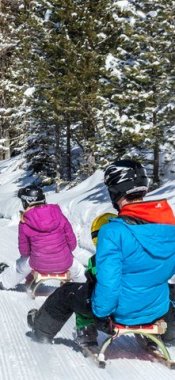
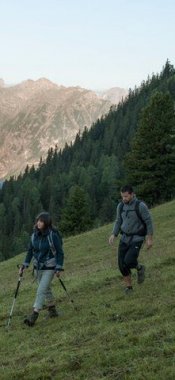
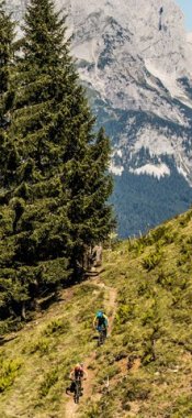
Outdoor enthusiasts will find much to see and do in the region, from cross-country skiing and alpine skiing in winter to hiking, mountain biking and rock climbing in summer. Reutte has many cultural attractions and a pretty town centre, while visitors interested in history should pay a visit to the Burgenwelt Ehrenberg. Between the Ruine Ehrenberg and the Fort Claudia lies the highline179, the world’s longest free-standing footbridge. It was opened in 2014 and measures 406 metres in length. A must for those with a strong stomach and head for heights! Watersports lovers can choose between whitewater rafting on the Lech and sailing, surfing, diving and rowing on the calmer Lake Plansee.
Situated on the Bavarian border, the Reutte Nature Park Region forms the gateway to the mighty mountains of Tirol. It stretches from Vils in the…


