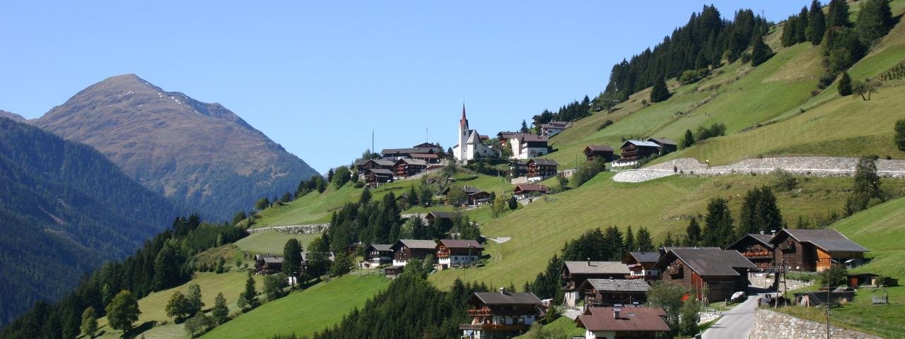
St. Veit, a romantic village in the heart of the Defereggental Valley, is the highest municipality in East Tirol at 1,495 metres above sea level.
It enjoys a sunny location on the southern edge of the Hohe Tauern National Park. Indeed, the land here is so fertile that until a few decades ago farmers were able to grow potatoes and corn on these slopes despite the high altitude. St. Veit has a population of around 700 inhabitants. The most remote houses in the village were connected by road to the outside world only a few years ago. Centuries-old farmsteads and an impressive gothic parish church shape this small, quiet village where mass tourism seems a million miles away. As well as an untouched landscape, including the largest mountain pine forest in the Eastern Alps, visitors to St. Veit will also find a number of themed hiking trails such as the "Leben am Steilhang" path telling walkers all about the challenges of living on such steep mountain slopes. Ambitious hikers can climb from the village directly up to the summit of the Speikboden mountain at 2,660 m. In winter there is a shuttle bus running to the Brunnalm ski resort in the neighbouring village of St. Jakob, which offers a selection of pistes up to 2,525 metres above sea level.
It enjoys a sunny location on the southern edge of the Hohe Tauern National Park. Indeed, the land here is so fertile that until a few decades ago…


