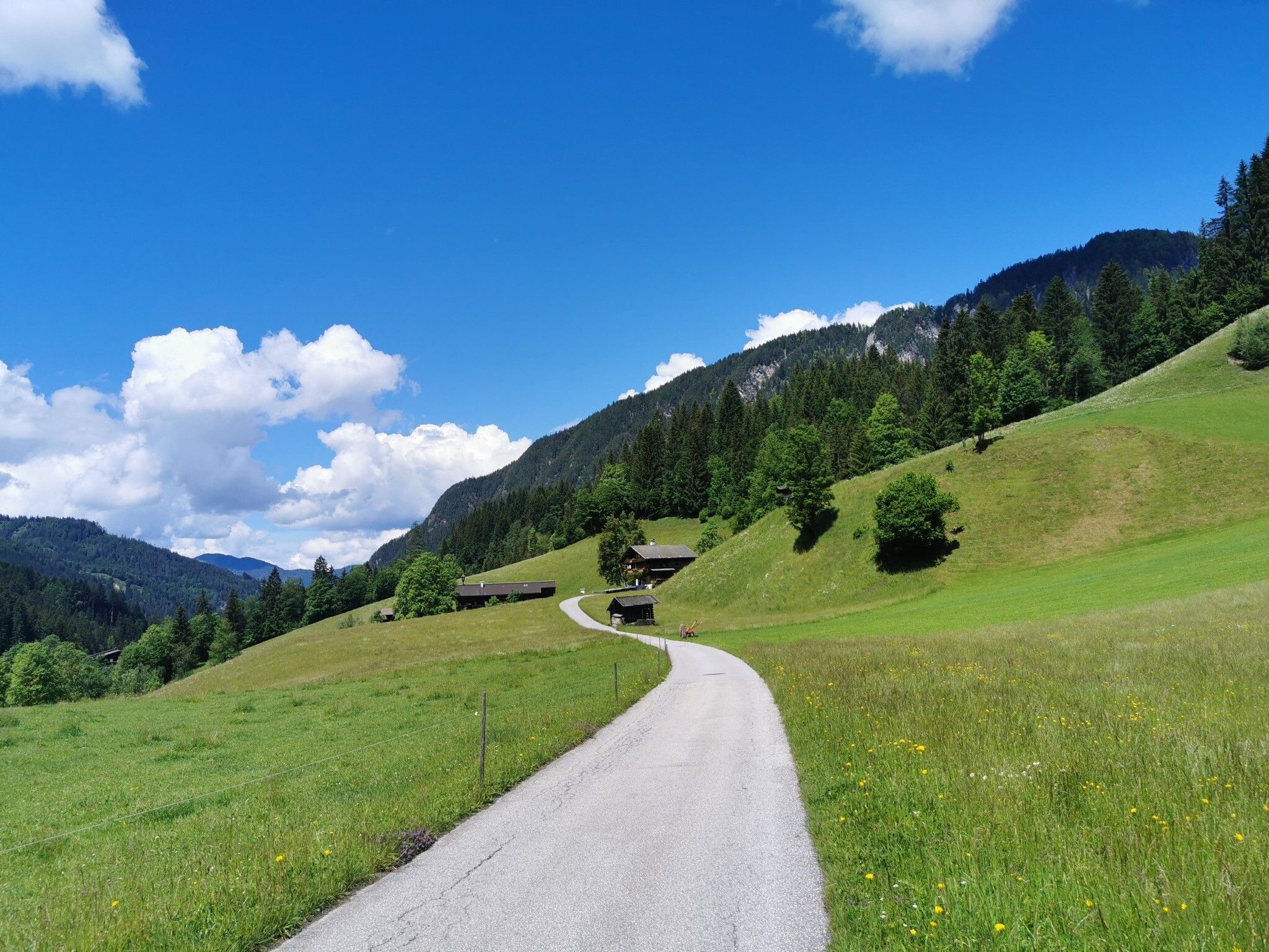
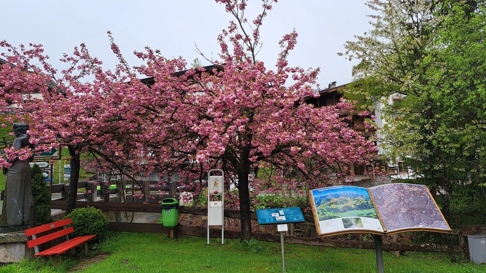
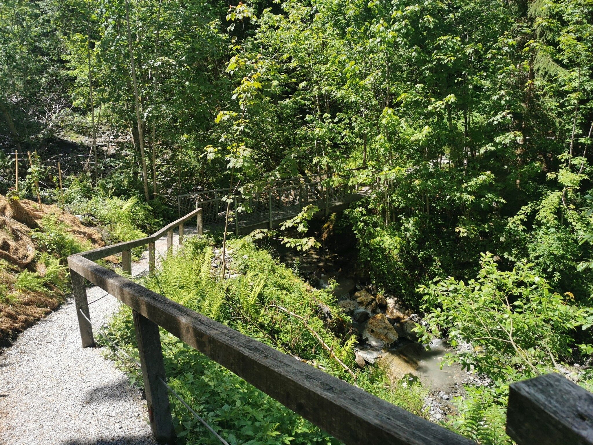
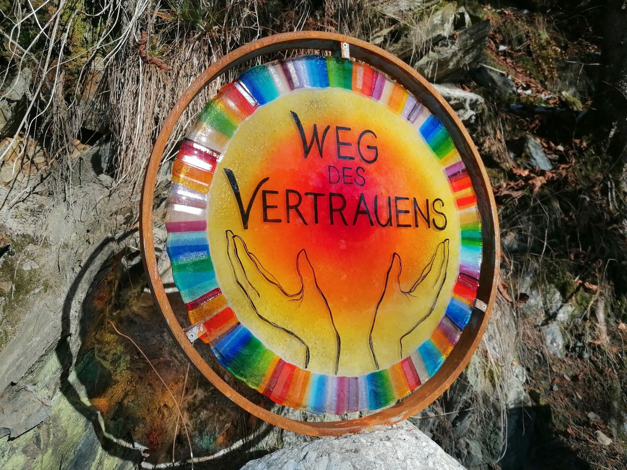
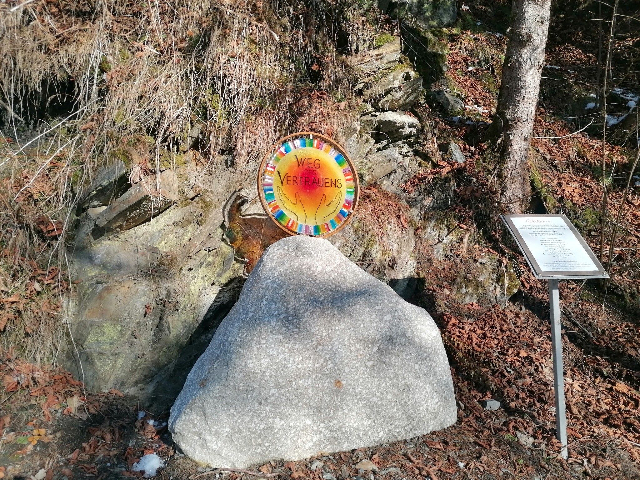
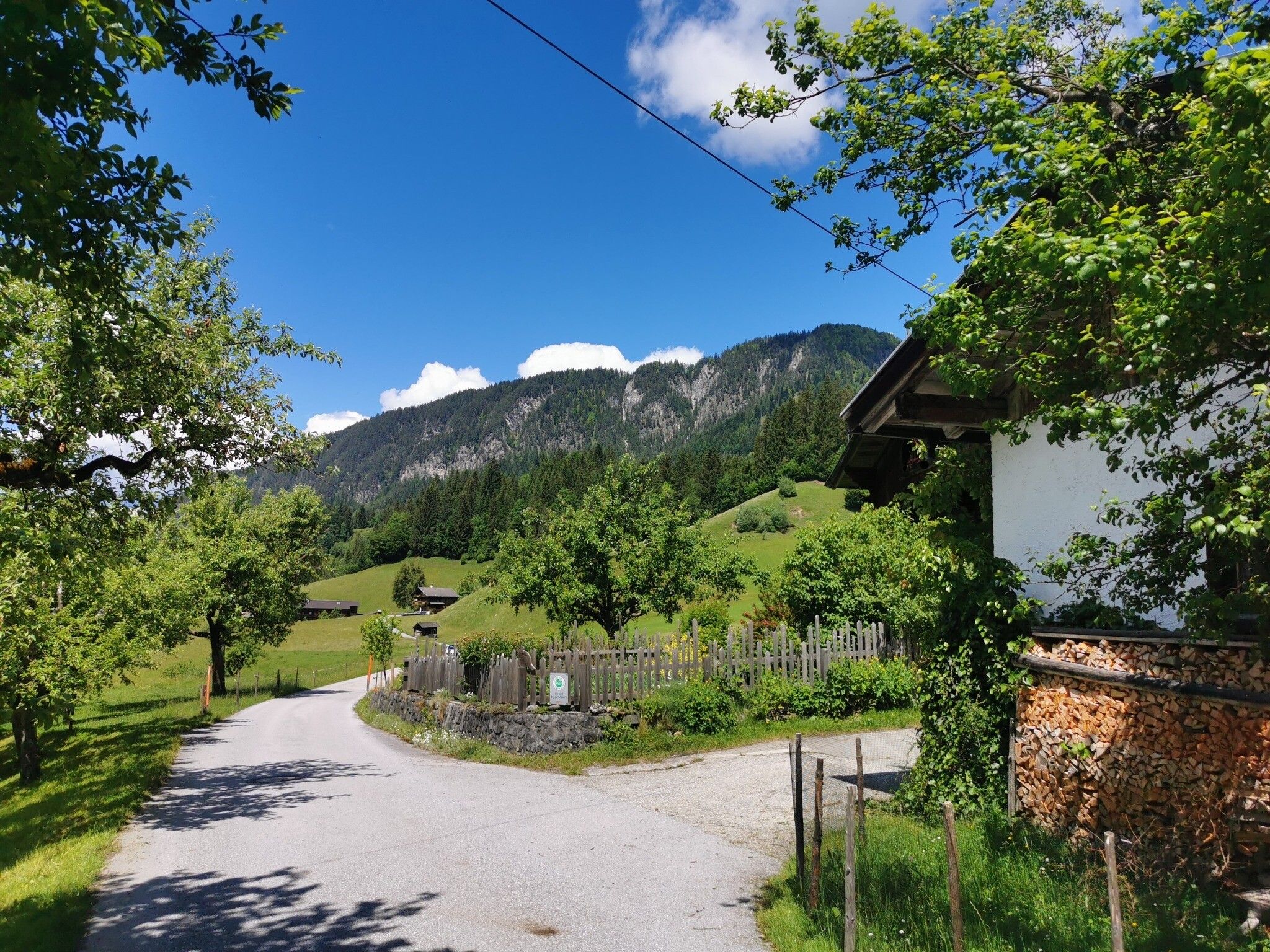
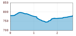
DescriptionStart at the Hotel Fäberwirt in Mühltal and go right on the road to Thierbach as far as the Hotel Bergkristall. Turn right and take the path through the woods down to the Klamm Strasse. Return via Ebersleith and Achweg.
Lechtaler Höhenweg: 3. Etappe Kasierjochhaus-Ansbacher HütteDifficulty: difficult Length: 11.2 km Duration: 6:45 h Elevation uphill: 1,037 m See trailSee trail: Lechtaler Höhenweg: 3. Etappe Kasierjochhaus-Ansbacher Hütte
Gramai Alm - Gramai Hochleger - Sonnjoch - Gramai AlmDifficulty: difficult Length: 10.8 km Duration: 6:30 h Elevation uphill: 1,200 m See trailSee trail: Gramai Alm - Gramai Hochleger - Sonnjoch - Gramai Alm
Lechtaler Höhenweg: 3. Etappe Kasierjochhaus-Ansbacher HütteDifficulty: difficult Length: 6.9 km Duration: 4:45 h Elevation uphill: 745 m See trailSee trail: Lechtaler Höhenweg: 3. Etappe Kasierjochhaus-Ansbacher Hütte
Lechtaler Höhenweg: 3. Etappe Kasierjochhaus-Ansbacher HütteDifficulty: difficult Length: 7.9 km Duration: 4:15 h Elevation uphill: 518 m See trailSee trail: Lechtaler Höhenweg: 3. Etappe Kasierjochhaus-Ansbacher Hütte
Stanzach - Over the suspension bridgeDifficulty: easy Length: 12.8 km Duration: 3:15 h Elevation uphill: 38 m See trailSee trail: Stanzach - Over the suspension bridge
St. Johann in Tirol - Kalkstein - BaumooskogelDifficulty: medium Length: 18.1 km Duration: 6:15 h Elevation uphill: 762 m See trailSee trail: St. Johann in Tirol - Kalkstein - Baumooskogel
Adaptive cross-country skiing trail in Eben am Achensee (M2)Opening hours: closed Difficulty: easy Length: 4.5 km Duration: 1:00 h Elevation uphill: 94 m : Style: Classic Go to Cross-country skiing trailGo to Cross-country skiing trail: Adaptive cross-country skiing trail in Eben am Achensee (M2)
Lechtaler Höhenweg: 3. Etappe Kasierjochhaus-Ansbacher HütteDifficulty: difficult Length: 7.8 km Duration: 4:45 h Elevation uphill: 855 m See trailSee trail: Lechtaler Höhenweg: 3. Etappe Kasierjochhaus-Ansbacher Hütte
Buchau - GramaialmDifficulty: easy Length: 32.9 km Duration: 3:00 h Elevation uphill: 540 m Go to biketourGo to biketour: Buchau - Gramaialm
Flusserlebnisweg GroßacheDifficulty: easy Length: 3.2 km Duration: 0:30 h Elevation uphill: 20 m Go to biketourGo to biketour: Flusserlebnisweg Großache
Lärchenhof TrailOpening hours: closed Difficulty: easy Length: 1.7 km Elevation uphill: 11 m : Style: Skating, Classic Go to Cross-country skiing trailGo to Cross-country skiing trail: Lärchenhof Trail
Winter walking Biedringer PlatteLength: 12.7 km Duration: 5:30 h Elevation uphill: 470 m Go to winter hikeGo to winter hike: Winter walking Biedringer Platte
Käsealm Straubing past WindauDifficulty: medium Length: 19.8 km Duration: 2:30 h Elevation uphill: 270 m Go to biketourGo to biketour: Käsealm Straubing past Windau
Hochalm hikeDifficulty: medium Length: 19.6 km Duration: 7:00 h Elevation uphill: 1,140 m See trailSee trail: Hochalm hike
MTB Tour Söll - HochsöllDifficulty: medium Length: 5.1 km Elevation uphill: 480 m Go to biketourGo to biketour: MTB Tour Söll - Hochsöll
SchafsiedelDifficulty: medium Length: 15.6 km Duration: 6:45 h Elevation uphill: 1,280 m See trailSee trail: Schafsiedel
The Wildschönau High TrailDifficulty: medium Length: 14.8 km Duration: 6:30 h Elevation uphill: 760 m See trailSee trail: The Wildschönau High Trail
Angereralm - HarschbichlDifficulty: medium Length: 18.2 km Duration: 2:00 h Elevation uphill: 942 m Go to biketourGo to biketour: Angereralm - Harschbichl
BichlachrundeDifficulty: easy Length: 10.5 km Duration: 3:30 h Elevation uphill: 295 m See trailSee trail: Bichlachrunde
TaubenseeDifficulty: medium Length: 13.0 km Duration: 5:00 h Elevation uphill: 620 m See trailSee trail: Taubensee
Niederkaiser via Maiklsteig and Schleier WaterfallDifficulty: medium Length: 12.2 km Duration: 6:00 h Elevation uphill: 841 m See trailSee trail: Niederkaiser via Maiklsteig and Schleier Waterfall
Oberau - KragenjochkreuzDifficulty: medium Length: 7.9 km Duration: 3:00 h Elevation uphill: 513 m See trailSee trail: Oberau - Kragenjochkreuz
Scenic River Trail GroßacheDifficulty: easy Length: 14.3 km Duration: 3:30 h Elevation uphill: 20 m See trailSee trail: Scenic River Trail Großache
Easy cross-country skiing circuit in KranebittauOpening hours: closed Difficulty: easy Length: 2.0 km Duration: 0:20 h Elevation uphill: 40 m : Style: Skating, Classic Go to Cross-country skiing trailGo to Cross-country skiing trail: Easy cross-country skiing circuit in Kranebittau
Give feedback for a chance to win a special holiday experience!Click here for the surveyClick here for the survey