The 5 most beautiful day hikes along the Eagle Walk
The Eagle Walk is made up of 23 linked stages, which follow a breath-taking route through the Tirol. The region’s most famous long-distance trail, many sections can be easily accessed by cable car and completed as a full- or half- day tour. I’d like to introduce you to my five favourite sections, all of which have detailed route descriptions, maps, viewpoints and GPS points available to download.
1. Along the Nordkette to Pfeishütte in the Karwendel
I grew up in this mountain range and know every rock and tree like the back of my hand, yet I never grow tired of spending time here. It takes just half an hour to travel from Innsbruck’s lively city centre to the perfect solitude of these mountains which are over 2,200-meters above sea level. This 2-2.5 hour route runs from the Hafelekar mountain station and guides you beyond the Nordkette mountains to Mannlscharte. From here it descends to Pfeis hut. Retrace the route to return to your start-point.

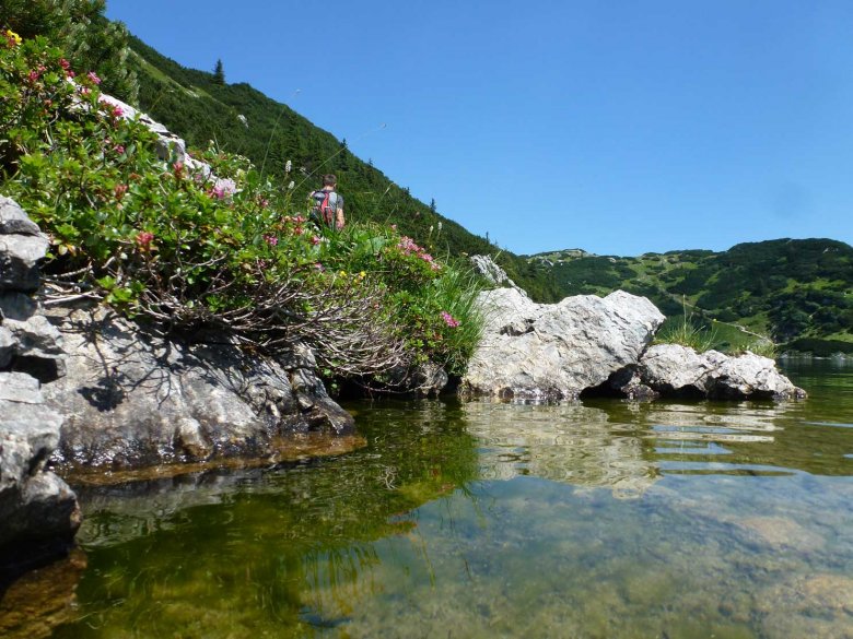
A half- day walk for occasional hikers. From Kramsach in the Lower Inn Valley, take the chair lift to the Sonnwendjoch house. A short walk leads to the idyllic Zireiner lake, which is situated in a valley almost 1,800-meters above sea level – great place to cool off in the hot summer months. The walk continues to Zireiner Alm pasture (1,698m) before returning to the top of the chair lift, allowing you to ride back down into the Inn Valley.

3. From hut-to-hut, high above Reutte
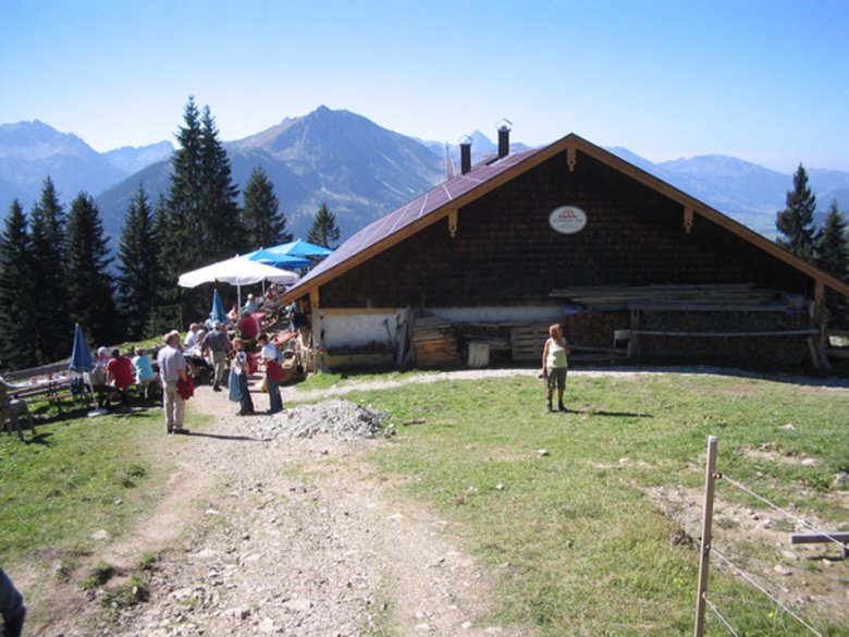
For a tour which gives expansive views in every direction, take the Reuttener Hahnenkamm cable car into the mountains between the Lechtal Valley, Tannheimertal valley and Allgäu. The smorgasbord of regional specialities found in the area’s many pastures and mountain huts will entice you to stay longer, so look forward to long lunches and tasty snack stops. If you still have time before descending back into the valley, I recommend visiting the mountain station next to the Alpine flower garden .
4. High above St Anton in the Arlberg mountain range
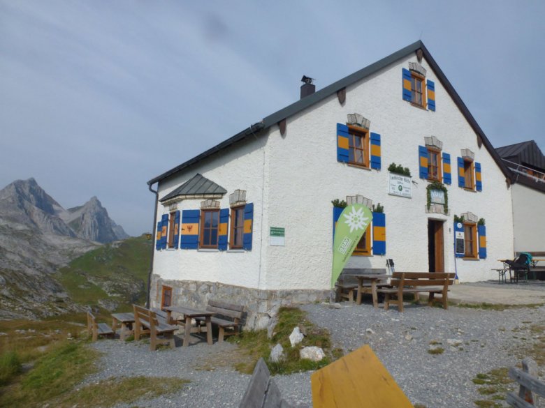
Hike with continuous views of the mighty Valluga (2,809m) – the highest peak in the Arlberg. The route begins at the first lift in St Anton village centre and leads across the Gampen to Kapall. Walk in an easterly direction on a gently undulating trail towards the Leutkircher hut, which is perched on the saddle between the Lech Valley and Stanzertal. The descent from the hut then follows a beautiful trail through Alpine and mountain terrain back to St Anton.
5. The beautiful Zirbenweg route between Innsbruck and Hall
This stunning, seven-kilometre path passes bizarre granite blocks and centuries-old pines, which form the tree line at 2,000-meters.Travel up from Igls on the Patscherkofel cable car and walk to the Tulfein Alm where the Glungezer cable car whisks you down to Tulfes, a small village above Hall. Take the public bus back to Igls. For more detail, see the more in-depth blog I wrote about this tour last year.

If you’re still hungry for more hiking, you’ll find more one-day and multi-day walking routes along the Eagle Walk page at www.tyrol.com/eagle-walk.


