My Favourite Springtime Road Bike Rides In and Around Tirol
1) Spring Classic: From Innsbruck up onto the Mieming Plateau and Back
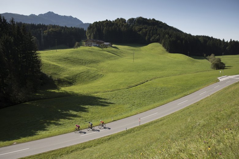
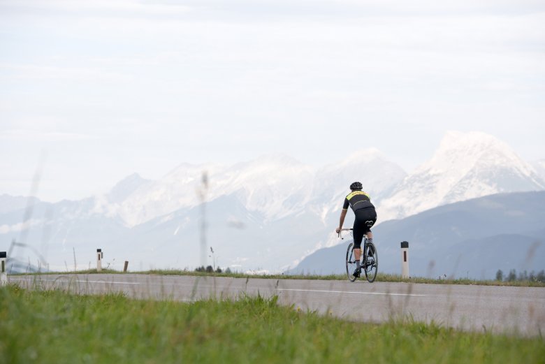
Every road bike rider in Tirol knows about this spring classic. It runs along the banks of the Inn river – out along the north, on the quiet road between Kranebitten and Telfs, and back along the south through the villages of Flauring, Hatting and Inzing. The short climb up onto the Mieming Plateau is well worth it for the incredible views of the green valley below and the snow-capped mountains of Kühtai above.
At 80 kilometres in length and only 750 vertical metres of climbing it is the ideal early-season ride. The highest point is just 900 metres above sea level. This ride is also a top tip for autumn, when the warm sunshine makes it pleasant even as the season is drawing to a close. Click on the link for a detailed description of the ride.

2) Gnadenwald and Inn Cycle Path
Regardless of whether you start from Innsbruck or Hall, this ride is always a pleasure. I start from Innsbruck and head along the „Dörferstraße“ road passing through the villages of Mühlau, Arzl and Rum as far as Thaur. Turn left in the centre of Thaur and follow the small road past the military base („Absamer Kaserne“) before continuing along the main road to Gnadenwald, where there are a number of restaurants and guesthouses serving food and drink. Continue along the road until it descends to Terfens. Turn right in the centre of the village and head to Neu-Terfens. In Neu-Terfens, before the road leads down to the Inn river, bear right and stay on the beautiful and quiet road leading to Fritzens. In Fritzens ride down to the Inn river and then take the Inn Cycle Path back to Innsbruck.
Starting from Innbruck, this ride is around 50 kilometres long and has about 350 vertical metres of climbing. Highest point on the ride is around 800 metres above sea level. The ride description and GPS data start in Hall, which makes the ride 20 kilometres shorter than if you begin your ride in Innsbruck. In winters with little snow cover the very steep toll road (free for cyclists) from Gnadenwald up to the Hinterhornalm hut opens in early spring thanks to its south-facing exposure. It is a good option for those who want to add a climb to this loop, but riders should be aware that the road is very steep: just 6 kilometres in length but with around 650 vertical metres of elevation gain.
3) From Innsbruck Heading East
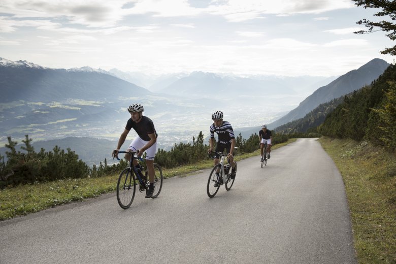
This ride leads along either quiet roads or the Inn Cycle Path from Innsbruck east to Wiesing and back. Riders who fancy a challenge can include the climb of the tough Kerschbaumsattel from Bruck im Zillertal to Reith im Alpbachtal. It is a steep gradient, so you will need a few early-season kilometres in the legs to really enjoy it.
Leaving from Innsbruck, head along the „Dörferstraße“ road through the villages of Mühlau, Arzl and Rum as far as Thaur. Turn left in the centre of the village and take the small road through the forest up to the military base („Absamer Kaserne“) and on to the village of Gnadenwald (not steep). Up on the sunny plateau, follow the road until it forks off left to Terfens. Take this left-hand fork and continue via Vomp, Stans and Jenbach to Wiesing. There is a short section on the main road (around 500 metres) with quite a lot of traffic heading towards the Zillertal Valley. Don’t follow the cars into the valley but instead turn right again and ride towards Schwaz. Follow the road heading along the southern banks of the Inn river as far as Volders (in the afternoon you can generally look forward to a strong tailwind). At the end of the village of Volders, shortly before you reach the Karlskirche church, turn left to Rinn/Tulfes and continue to Häusern. Take a right, then soon after a left. This section of the ride is not easy to find as there are only few signposts. If you have a GPS-enabled device, it is a good idea to download the whole ride from gpsies.com. The ride continues through beautiful meadows along a path (tarmac) with fine views of Innsbruck to Aldrans. All that then remains is the run down into Innsbruck.
Length: 90 km, vertical metres: 1,000. The highest point on the ride is about 800-850 metres above sea level. I have included the steep climb over the Kerschbaumsattel, which makes the ride quite a lot tougher than it otherwise would be. Length: 105 km, vertical metres: 1,800. The highest point on this variation is about 1,150 metres above sea level. Most of the climb is in the sun, so it is free of snow early in the year and pleasant to ride. Make sure you take a change of jersey and warm clothes for the descent back down the other side into the Alpbachtal Valley.
4) From Innsbruck Through the Karwendel Mountains
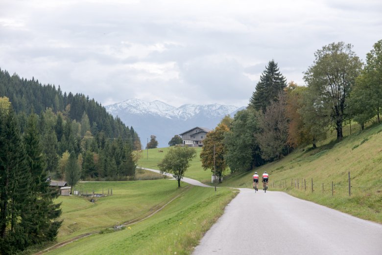
This is another road bike adventure perfect for spring, providing you have been keeping fit in winter or already completed a few other rides earlier in the season. Leaving from Innsbruck, riders head in a westerly direction along the main road to Telfs. This is where the sunny but steep climb to Buchen begins. Descend down the other side into the beautiful valley of Leutasch and over the border to Mittenwald in Bavaria. The cycle path will then take you to Krün and Wallgau. At the end of the village of Wallgau (after a short climb) turn sharp right onto the „Deutsche Alpenstraße“ (golf course) and into the Karwendel Valley. Riders can look forward to quiet roads and fine views of the Isar river on this section. Ride past the lake named „Sylvenstein Speichersee“ and head on to Lake Achensee (take the cycle path along the shore) before descending from Maurach along the steep road down to Jenbach. From there, take the quiet main road past Tratzberg Castle, through Stans and then either on the northern or southern side of the Inn (generally with a strong tailwind) back to Innsbruck.
All in all it is 165 kilometres and 1,600 vertical metres of climbing. Definitely not one for too early in the season! The highest point is at around 1,250 vertical metres above sea level. For more information check out the ride description.
5) The Five Lakes Loop Starting from Wiesing
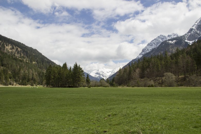
This ride once again heads over the German border into Bavaria. It starts in Wiesing (large new car park next to the motorway exit – access the car park from behind the petrol station) and leads via Kramsach, Reintaler Seen lakes and Angerberg on to Maria Steinand finally Kufstein. There follows a climb to Thiersee, before riders continue via Landl to Bayrischzell. Head on towards Schliersee until you reach a fork in the road leading to Spitzingsee. This is a tough climb which is going to hurt, but at least it isn’t too long. In Spitzingsee you have the pleasure of a road closed to traffic (public transport busses only) to Valepp and then on to Monialm. What a road! From there, descend to Rottach-Egern, then head up to the Achenpass (not steep but pretty long) as far as Achenkirch. Finally, take the cycle path along the shore of Lake Achensee and then head back down to Wiesing.
This ride comprises 140 kilometres and 1300 vertical metres of climbing. The highest point lies at around 1100 metres above sea level. For more details check out the ride description.
Those who fancy an extra challenge can ignore the section from Kufstein to Thiersee and instead continue to Oberaudorf, via Tatzelwurm and Sudelfeld to Bayrischzell. This extends the ride to around 160 kilometres and 2,300 vertical metres. Here you can find my GPS data at gpsies.com.
Visit www.tyrol.com to find more road bike rides in or starting from Tirol. Each ride includes a description of the route as well as GPS files to download. I record all of my rides using my GPS device and upload them together with a short description to my gpsies.com page.
