
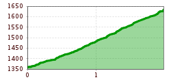
Difficulty:
difficult
Length:
10.5 km
Duration:
4:00 h
Elevation uphill:
369 m
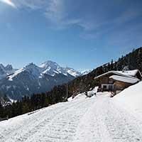
On the sunny side of the Schlick on the way to the Galtalm
Walking Time: approx. 2 hours
Length: 4 km (total)
Difference in Altitude: 271 m
Start / Finish: Froneben Intermediate Station
Parking: Valley Station Schlick 2000
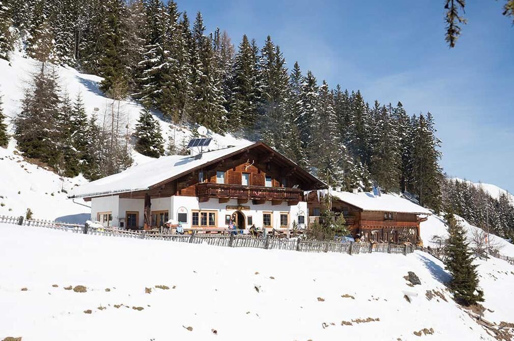
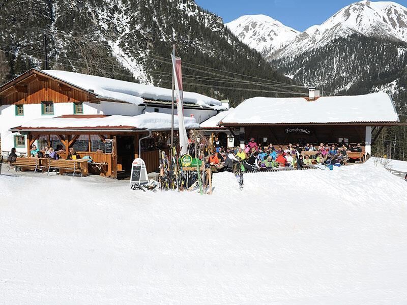
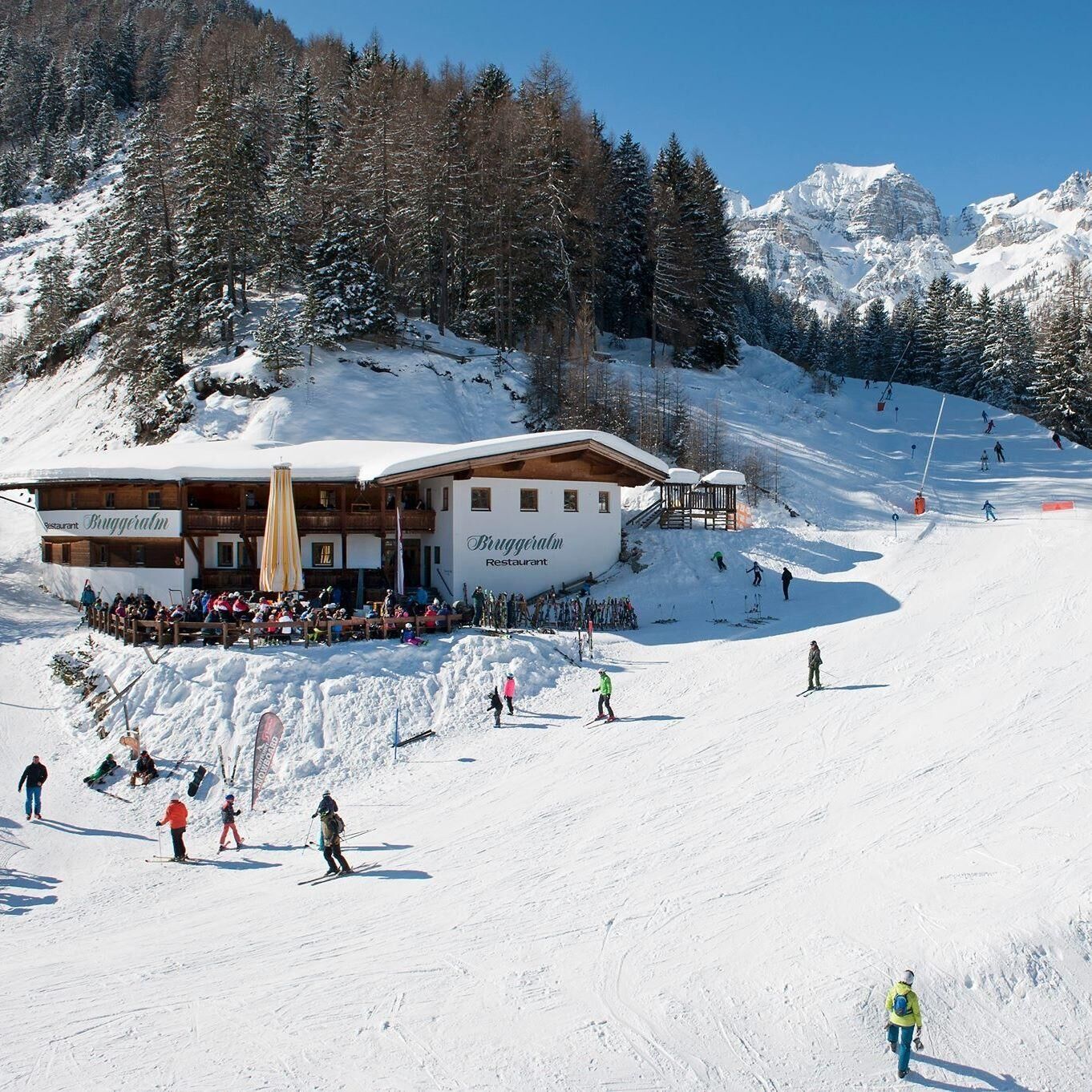
Rest Points: Schlickeralm (1,643 m), Fronebenalm (1,306 m), Bruggeralm (1,350 m)
The winter hiking trail Galtalm is located in the Schlick 2000 ski area. This sunny trail starts at the middle station Froneben, passes by the Bruggeralm, and ends at the Galtalm. It takes about 1 hour to reach the Galtalm. A special highlight of this trail is that it passes under the ski slope through a tunnel. After a relaxing break at the Galtalm, you follow the same path back, either to the Bruggeralm or to the middle station Froneben. From there, you can watch the skiers making their tracks in the snow on your way back, and then enjoy a leisurely cable car ride down from the middle station Froneben. This winter hiking trail is also suitable for ski tourers.

