Snowshoe hike Route LA Neuegg – Obladis

Ladis /
Route length: 5.8 km
Duration: 2:30 h

Route LA Neuegg – Obladis

Tour information

  • Length: 5.8 km
  • Duration: 2:30 h
  • Elevation uphill:279 hm
  • Elevation downhill:46 hm
Highest point 1,440 m

Starting point

Castle pond in Ladis

Finishing point

Neuegg

Description

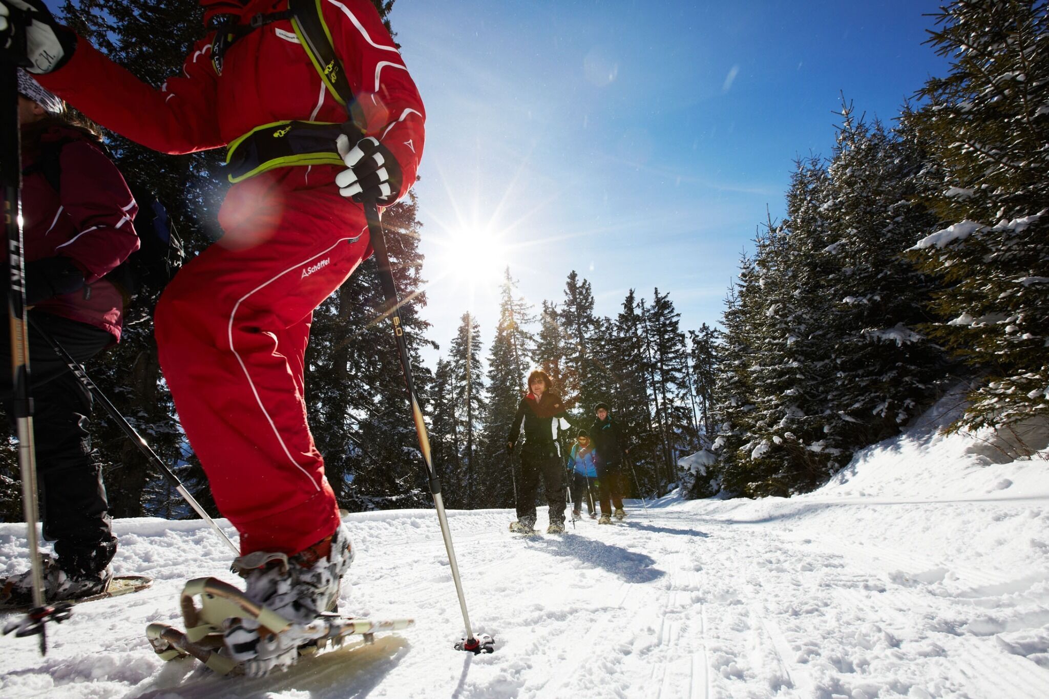
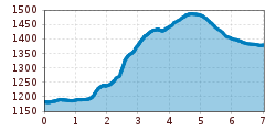
At the castle pond in Ladis, turn left towards Neuegg and after approx. 300 m, turn right to the Kneipp centre and then on to the Asterhöfe. After a short, steep ascent, we come to a road. Turn right here and after approx. 100 m, head uphill on the left to the viewing tower. Walk back possible via the Herrenweg trail – Obladis – Ladis.

Getting here

  • Contact

    Route LA Neuegg - Obladis
    ****

Newsletter

The mountain is calling? So does our newsletter!

In our weekly newsletter we reveal the best holiday tips for Tyrol.