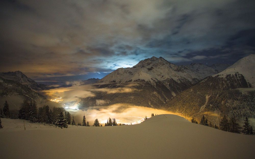
Pettneu - Nessleralm
winter and snow shoe hiking https://www.stantonamarlberg.com/en/service/cross-country-report
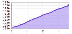
From the information office, head east, following the signs for Nessleralm. The trail begins on asphalt and then heads along a forest road to the chalet. From here, the peaks of the Verwall Alps lie to the south and the middle Stanzer Valley with the villages of Schnann and Flirsch (and the Eisenspitze peak in the background) to the east.
Take the same path back to the starting point (approx. 1:30 hrs).
