Winter hike Pertisau - Falzthurnalm - Gramai Alm - Pertisau

Difficulty ratings: easy
Route length: 14 km
Duration: 5:30 h

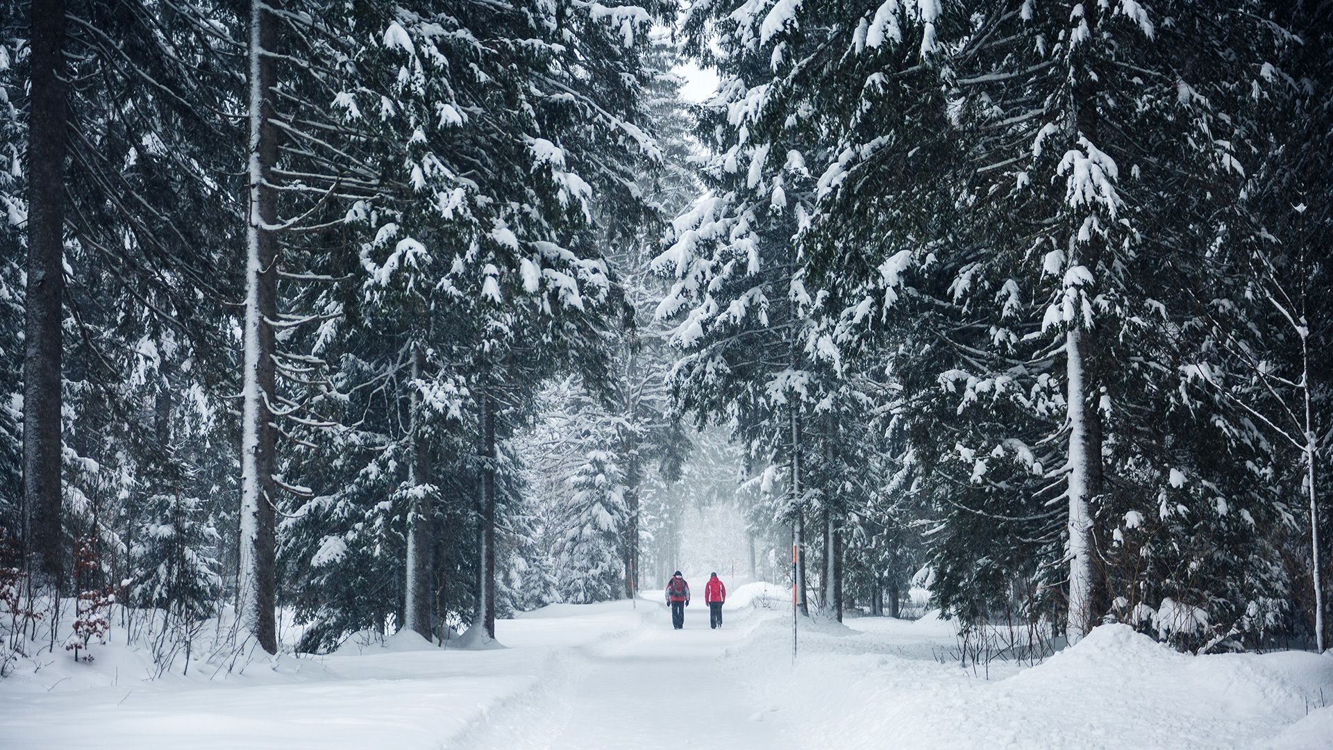
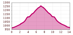
This long, easy hike follows gentle terrain with minimal elevation changes. The scenic trail winds through the Falzthurntal valley to the charming Gramai Alm at its end.

Tour information

  • Requirement: easy
  • Length: 14 km
  • Duration: 5:30 h
  • Elevation uphill:280 hm
  • Elevation downhill:280 hm
Highest point 1,263 m

Starting point

Pertisau, car park Karwendeltäler (cross-country skiing centre)

Finishing point

Pertisau, car park Karwendeltäler (cross-country skiing centre)

Features

  • Suitable for families
  • suitable for pushchairs

Best time of year

  • January
  • February
  • March
  • April
  • May
  • June
  • July
  • August
  • September
  • October
  • November
  • December

Wegbeschaffenheit

forest path

Ausrüstung

Sturdy, water and cold-resistant hiking boots. Telescopic hiking poles with large plates are recommended. This path can be walked with snowshoes.

Description

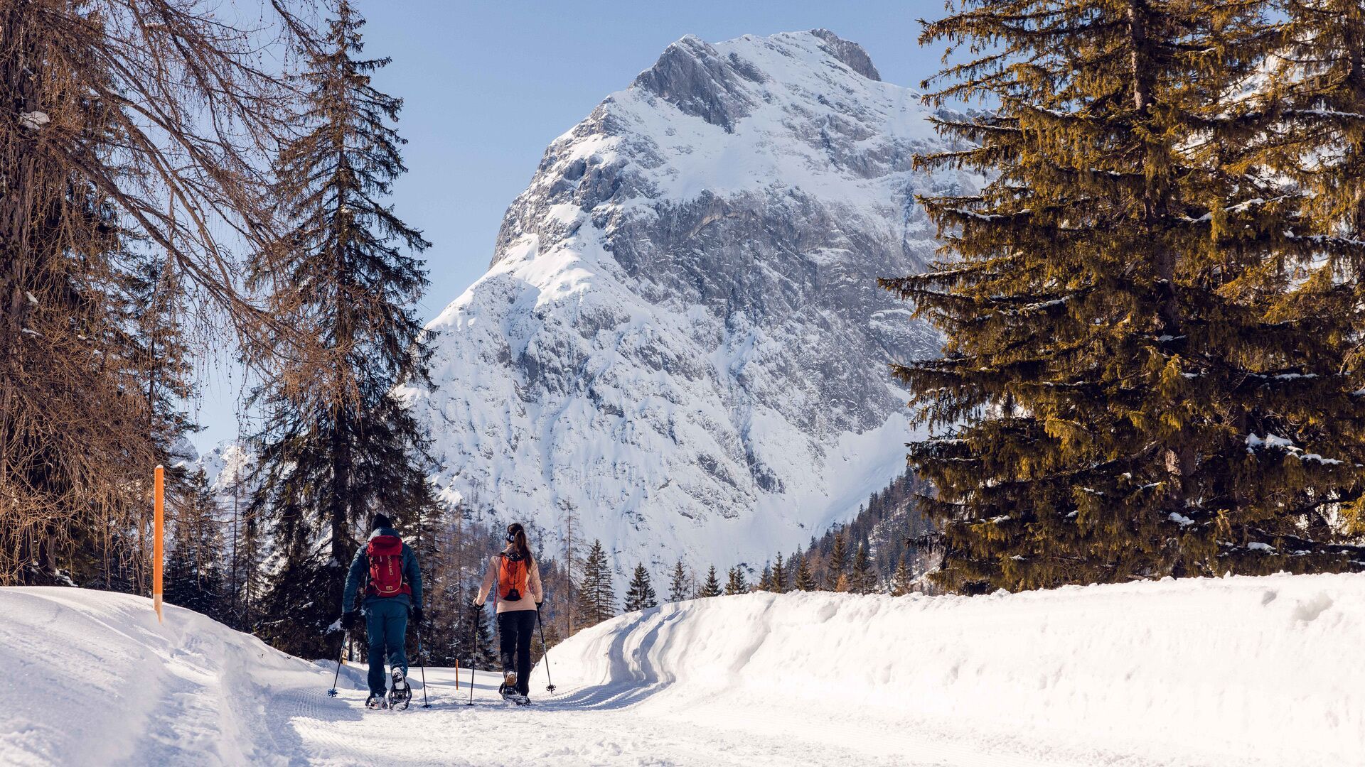
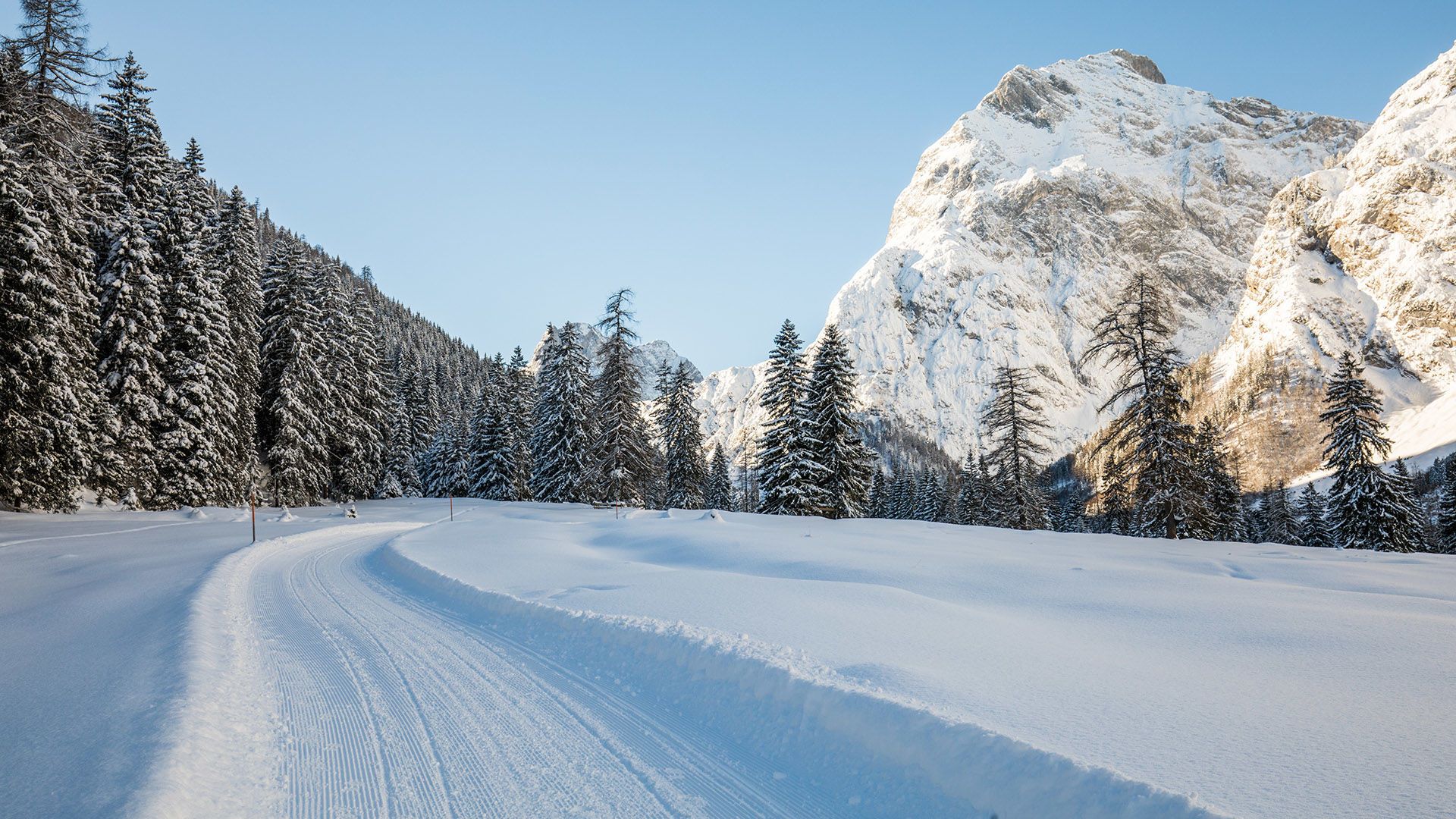
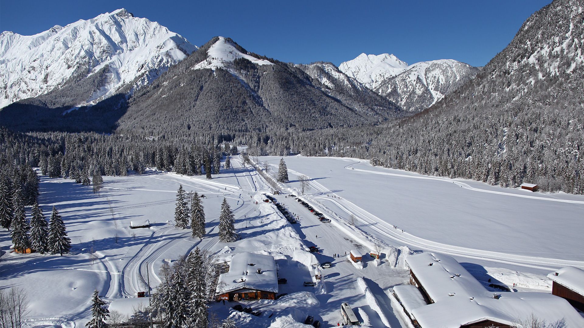
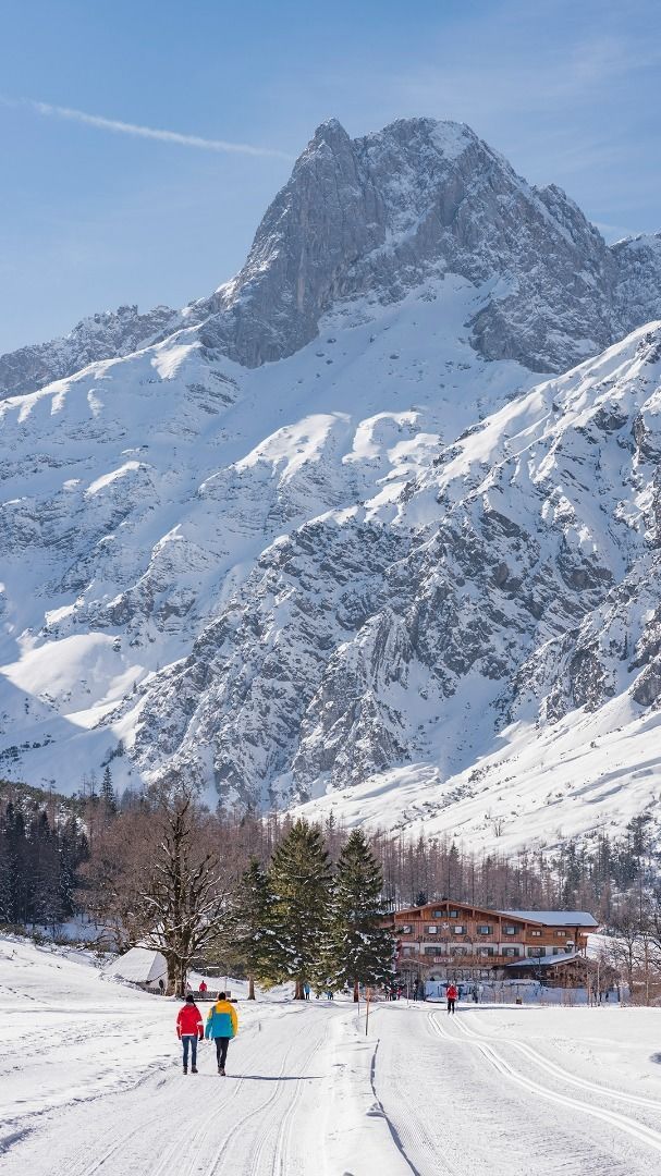
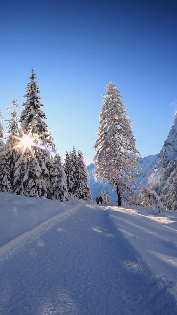
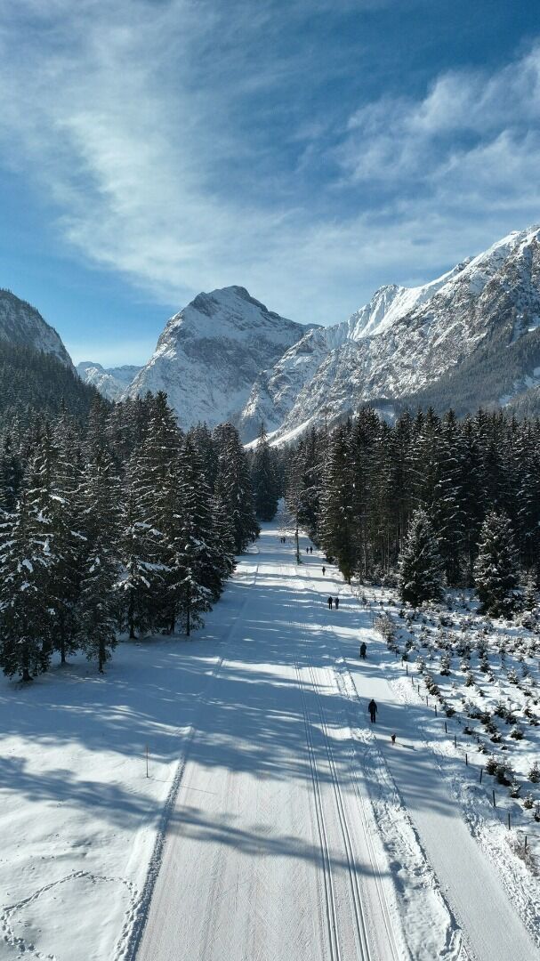
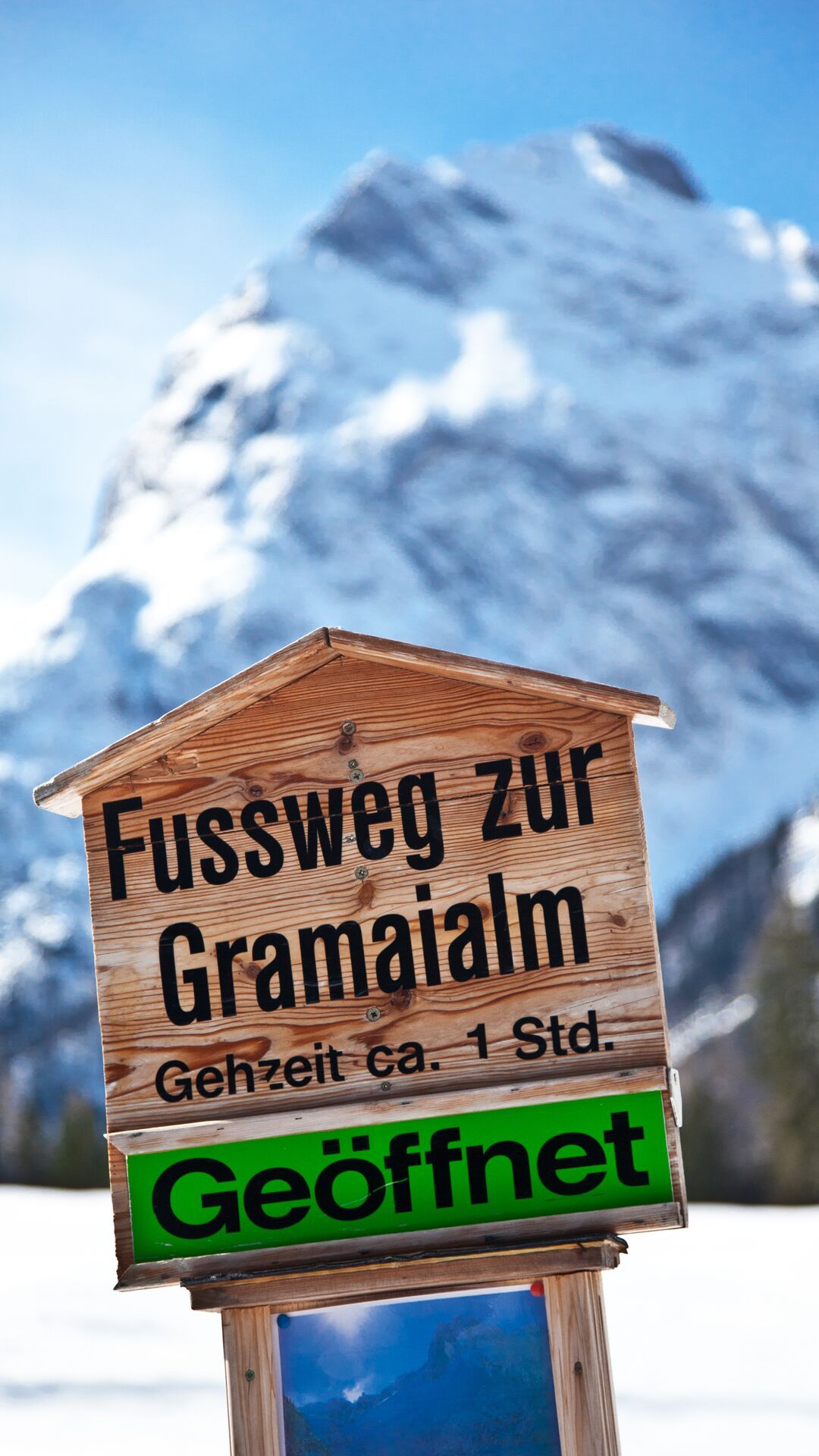
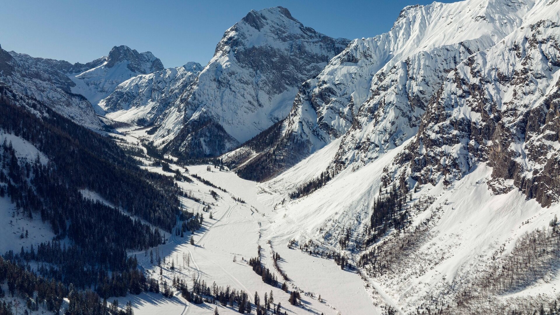
From the toll booth at the entrance to the Karwendel valleys (cross-country skiing centre) in Pertisau, walk to the end of the car park. Turn left and follow the asphalt footpath to the Falzthurnalm mountain hut. From here, a hiking trail takes you through alpine meadows to the Gramai Alm mountain hut. The return is via the same route.
The path is buggy-friendly and barrier-free from Pertisau to the Falzthurnalm.

Notice: Walking time varies depending on snow conditions.

Getting here

  • Arrival by public transport

    Exit bus stop: Pertisau Karwendeltäler

  • Parking

    Car park Karwendeltäler in Pertisau (paid parking lot)

  • Contact

    Pertisau - Falzthurnalm - Gramai Alm - Pertisau
    ****

More tours in the surrounding area

Newsletter

The mountain is calling? So does our newsletter!

In our weekly newsletter we reveal the best holiday tips for Tyrol.