
Opening hours:
closed
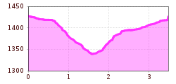
Difficulty:
easy
Length:
5.0 km
Duration:
1:45 h
Muanesweg trail (Fallmied)
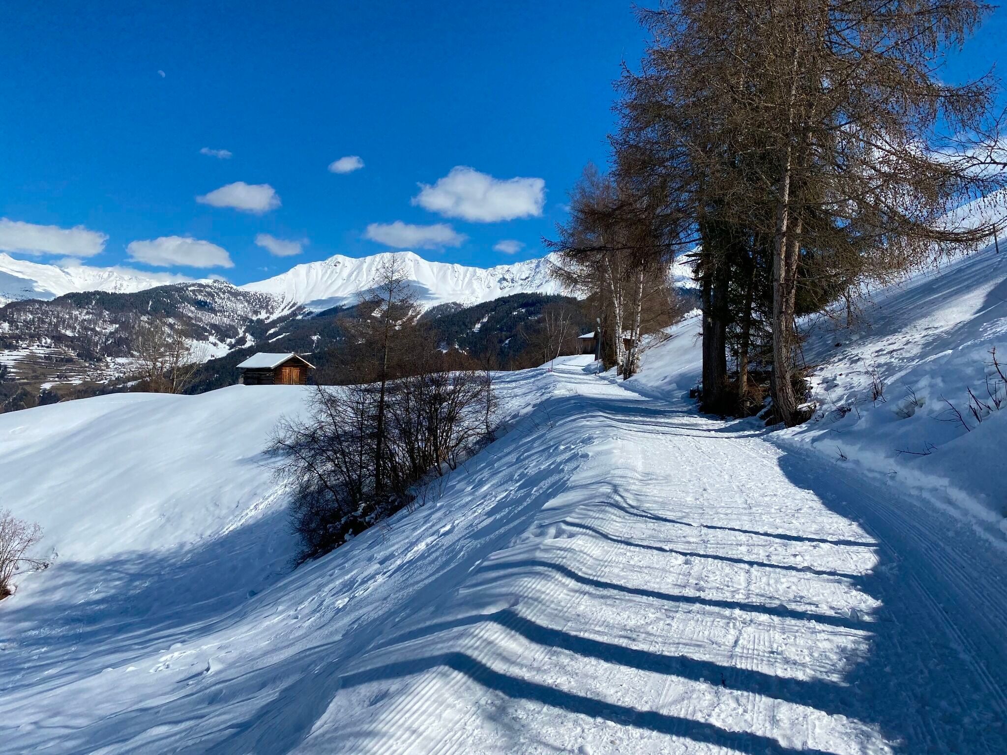
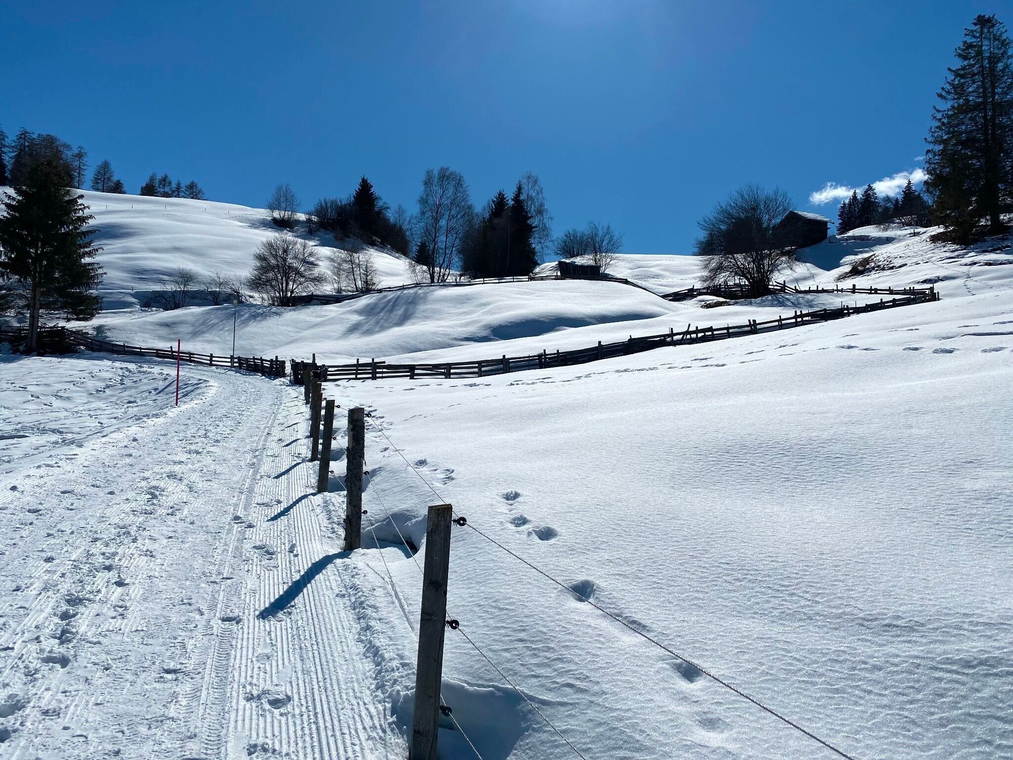
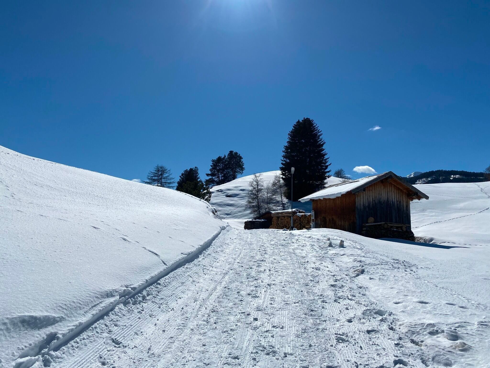
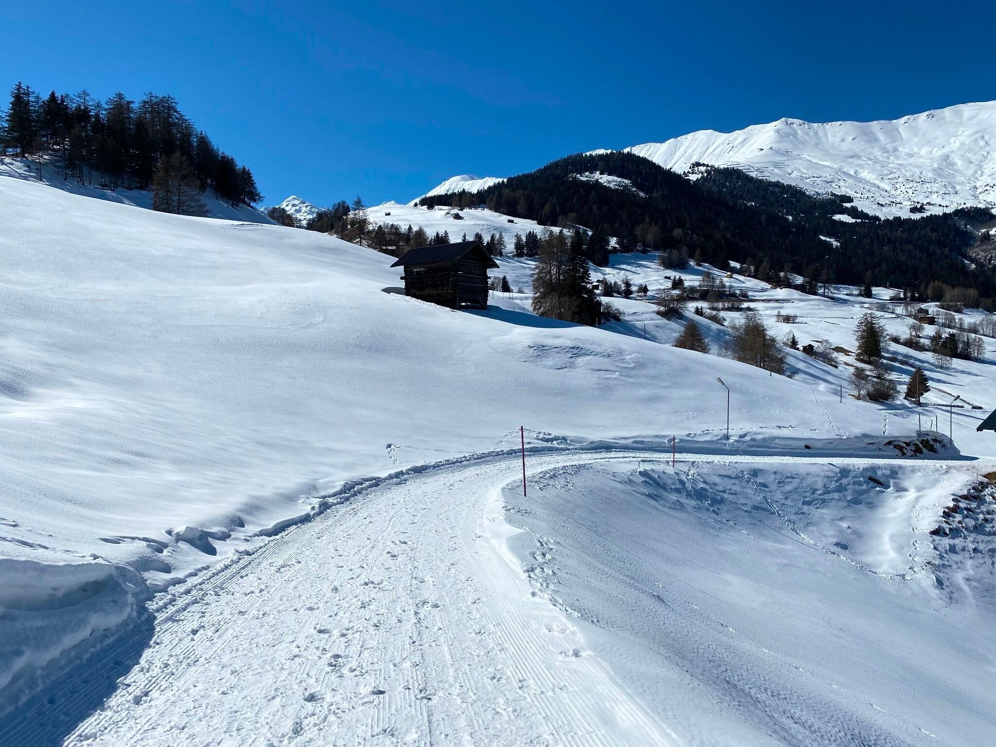
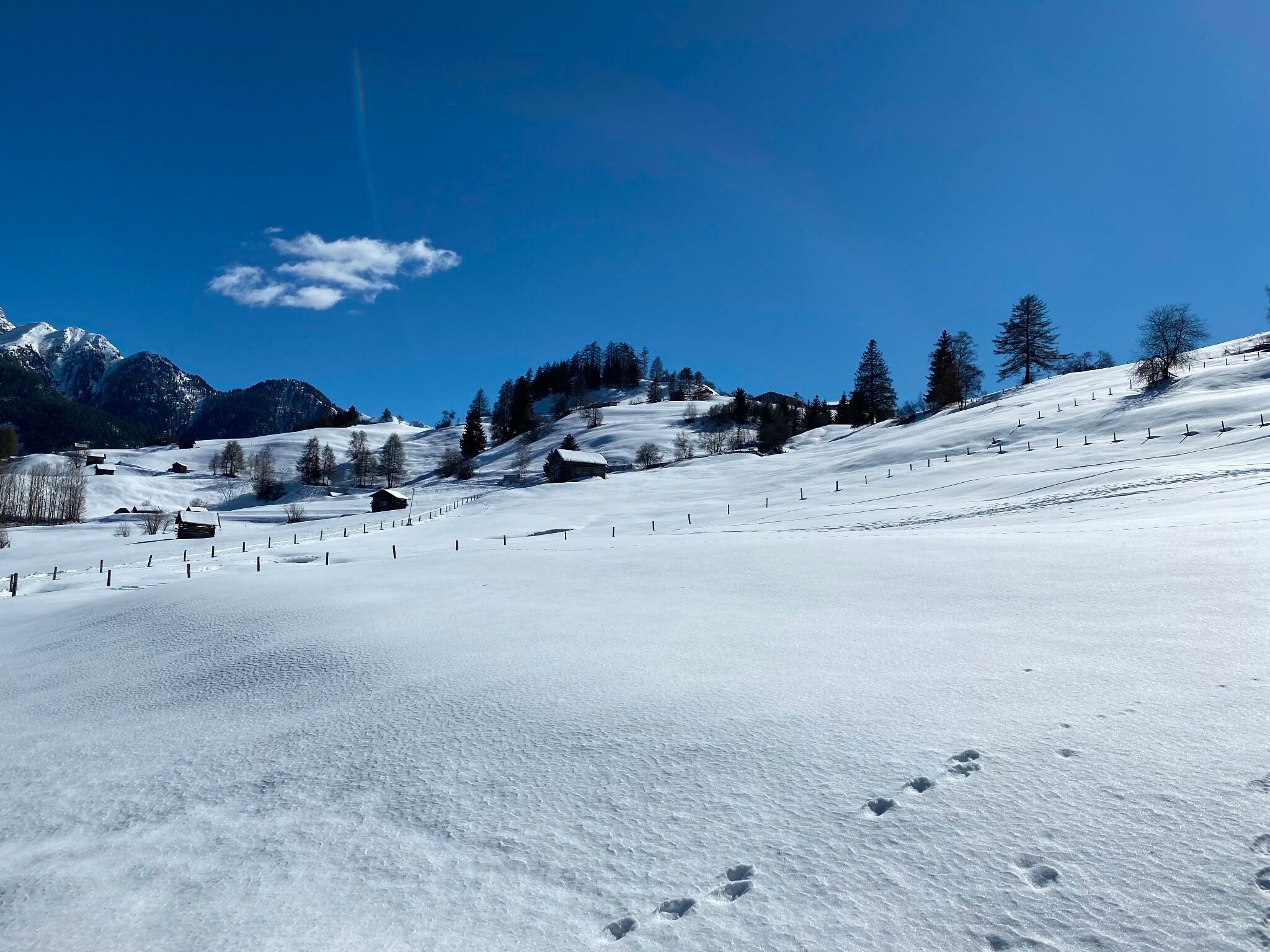
From the subway station Parkplatz (S010), a wide path begins towards the district of Fallmid (S014). At this point, a left turn leads to Serfauser Feldstraße. The path continues uphill and leads to Finesweg (S015).
