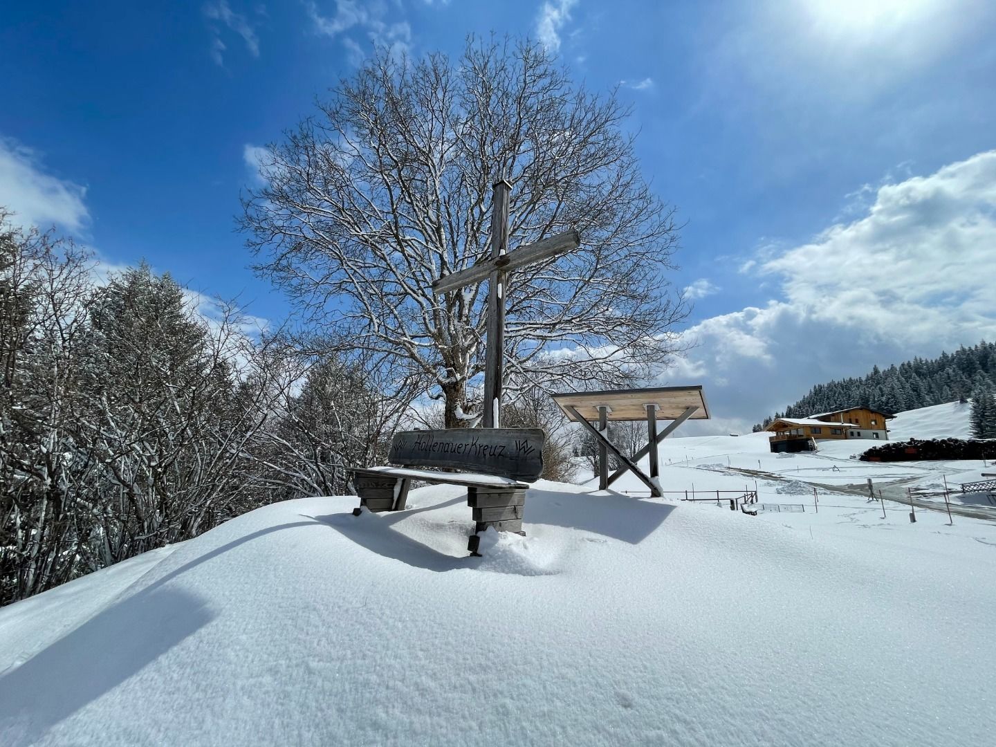
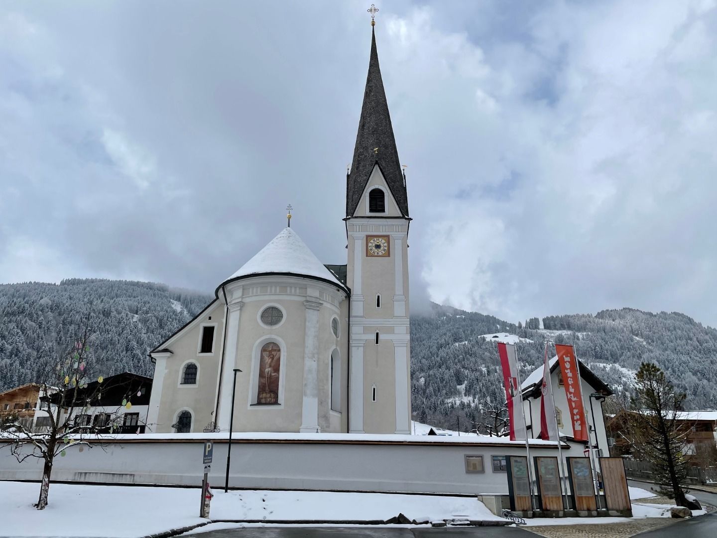
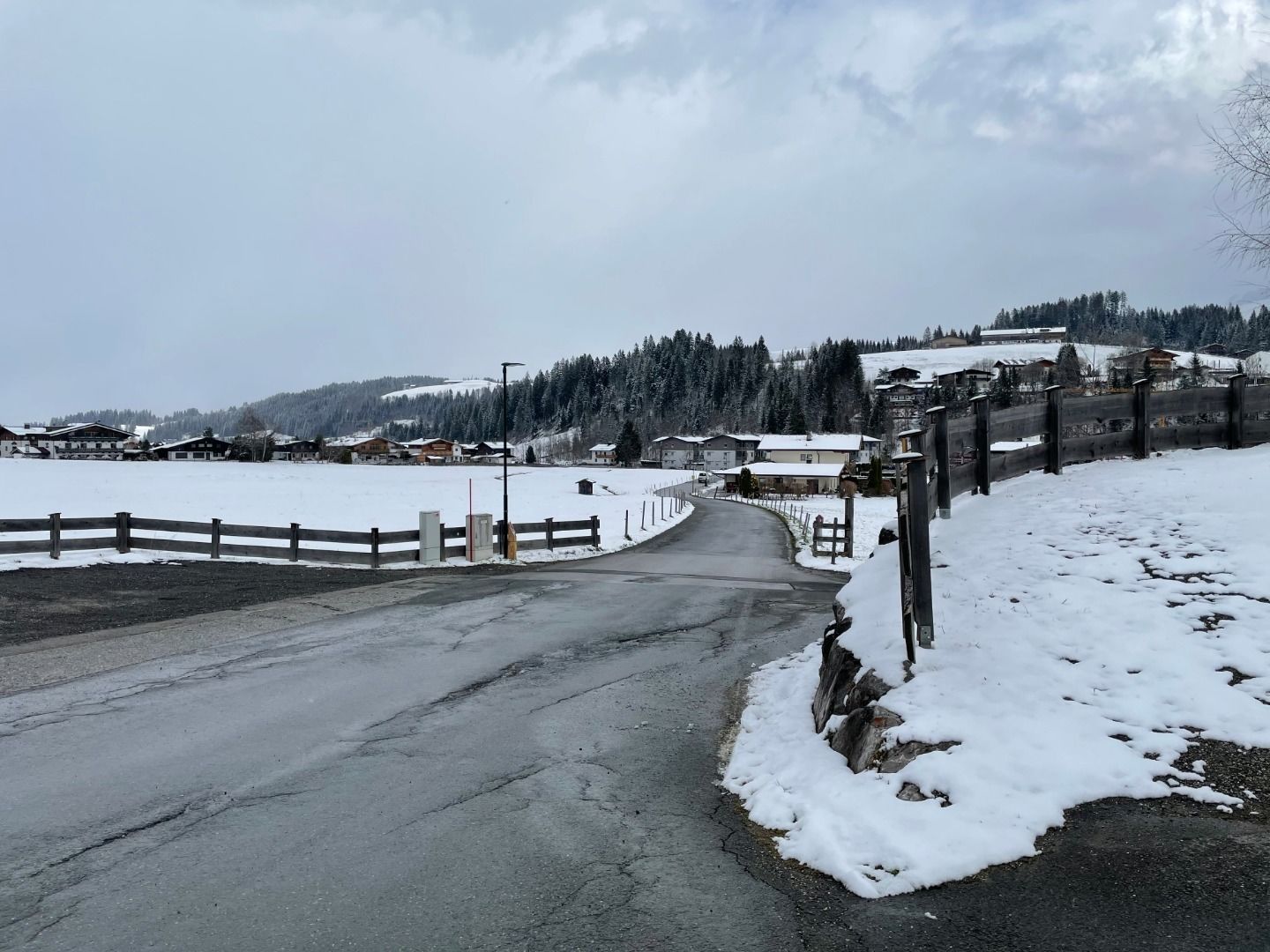
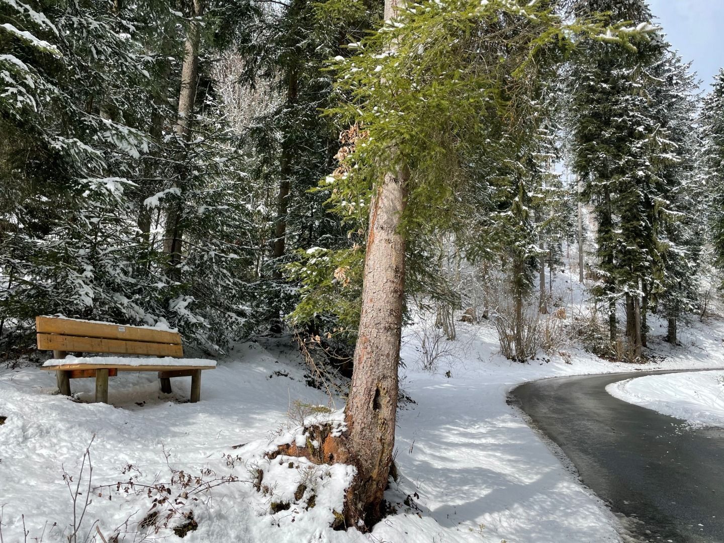
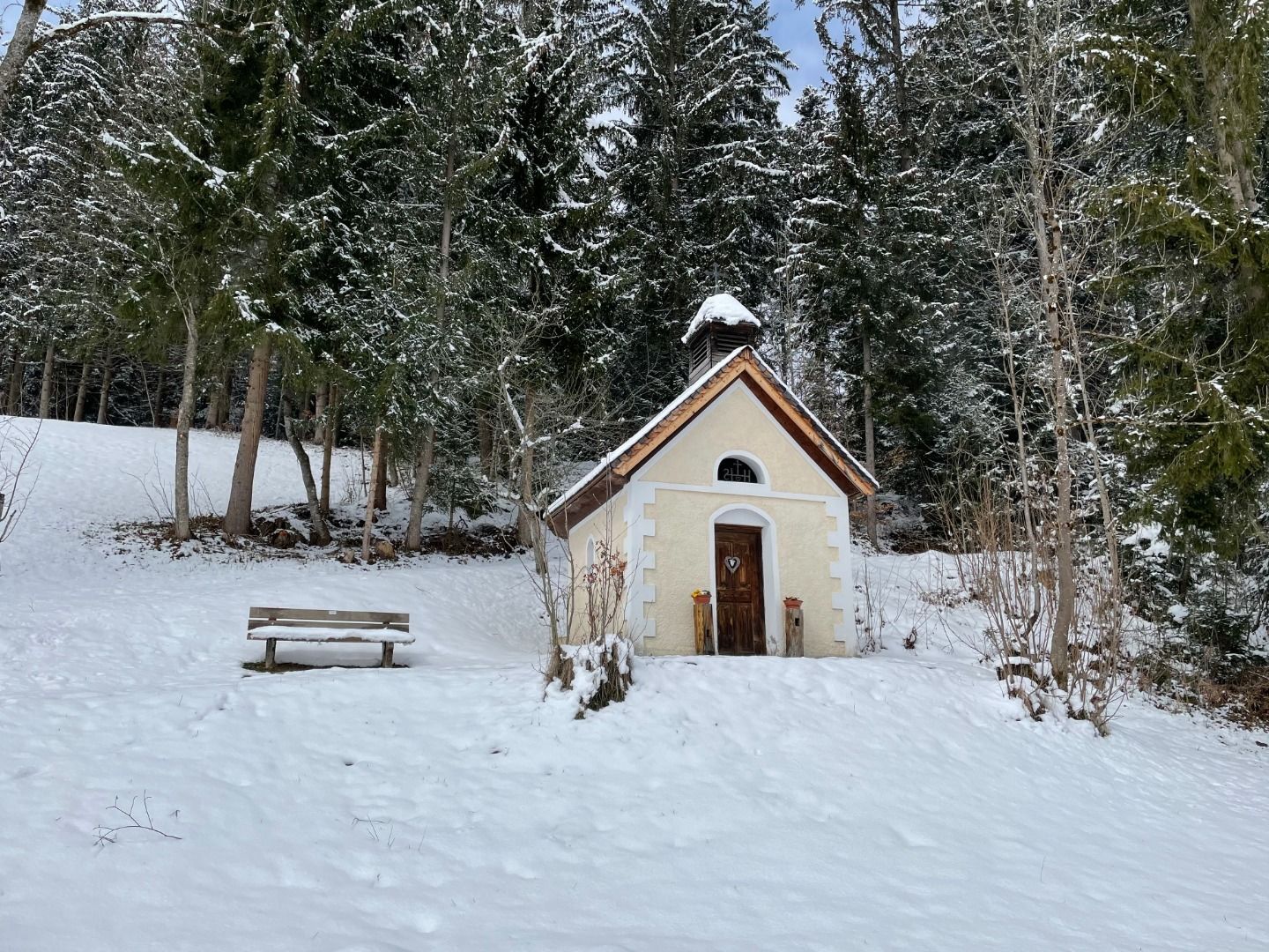
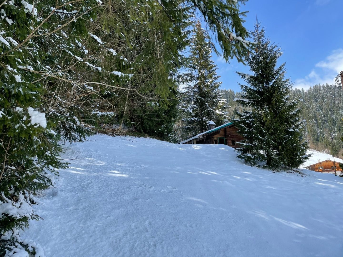
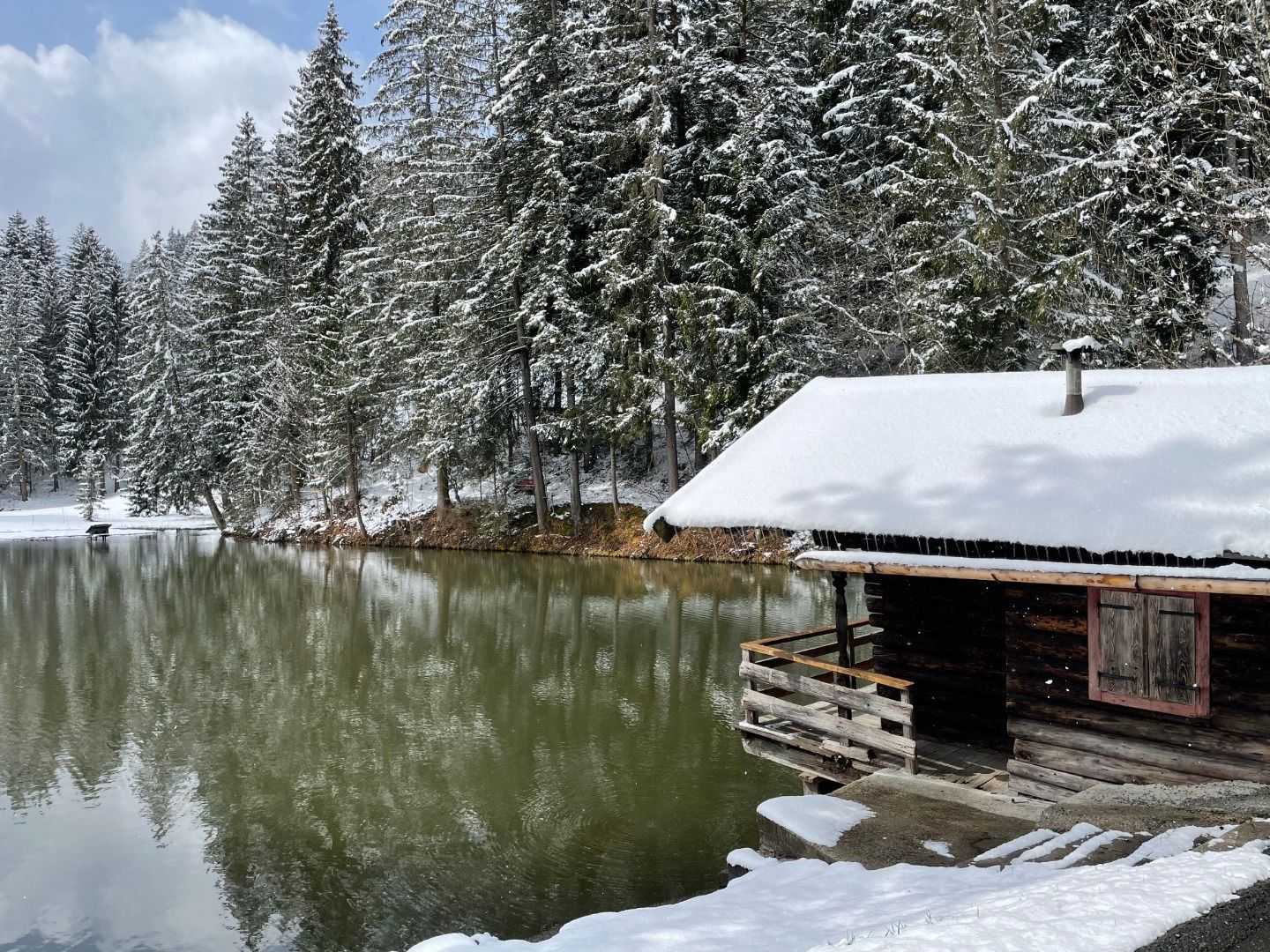
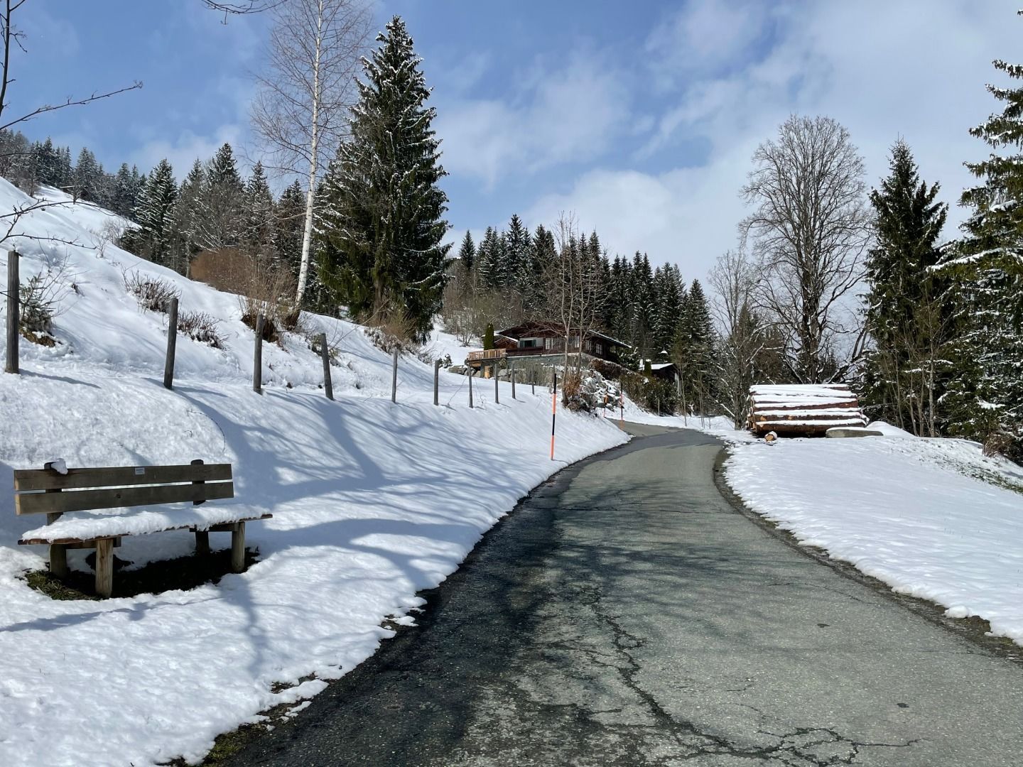
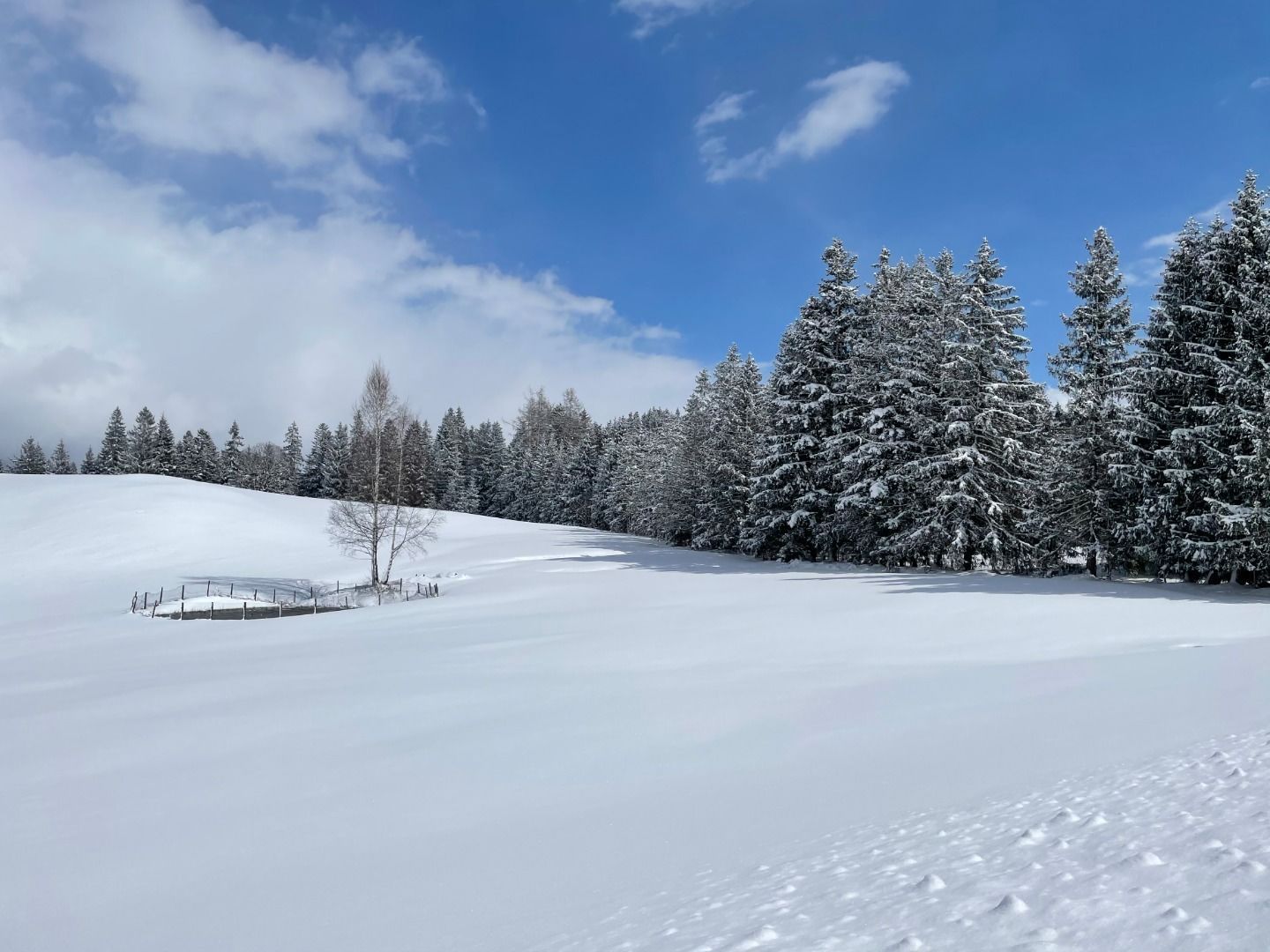
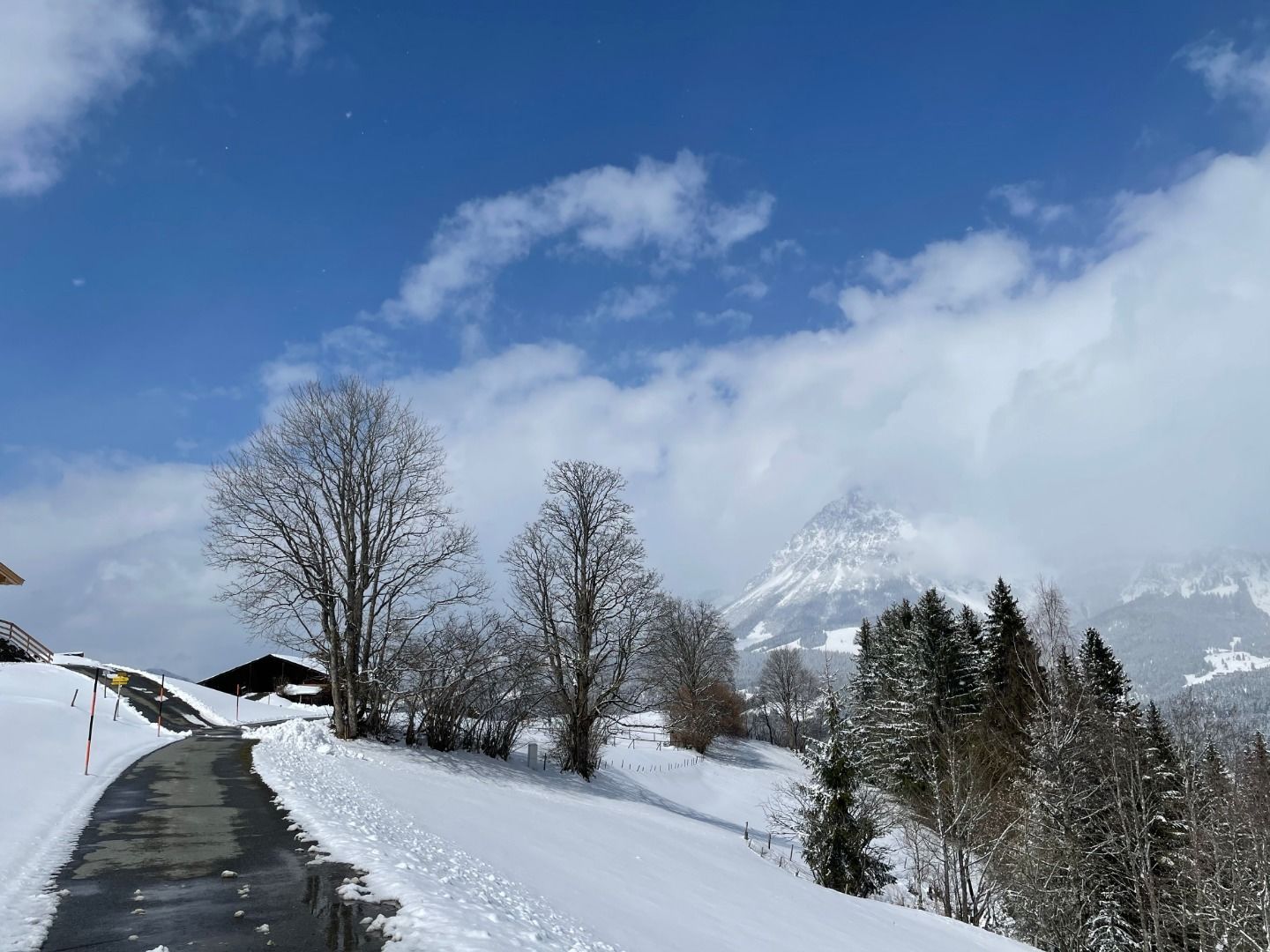
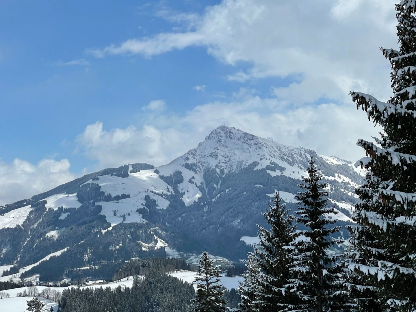
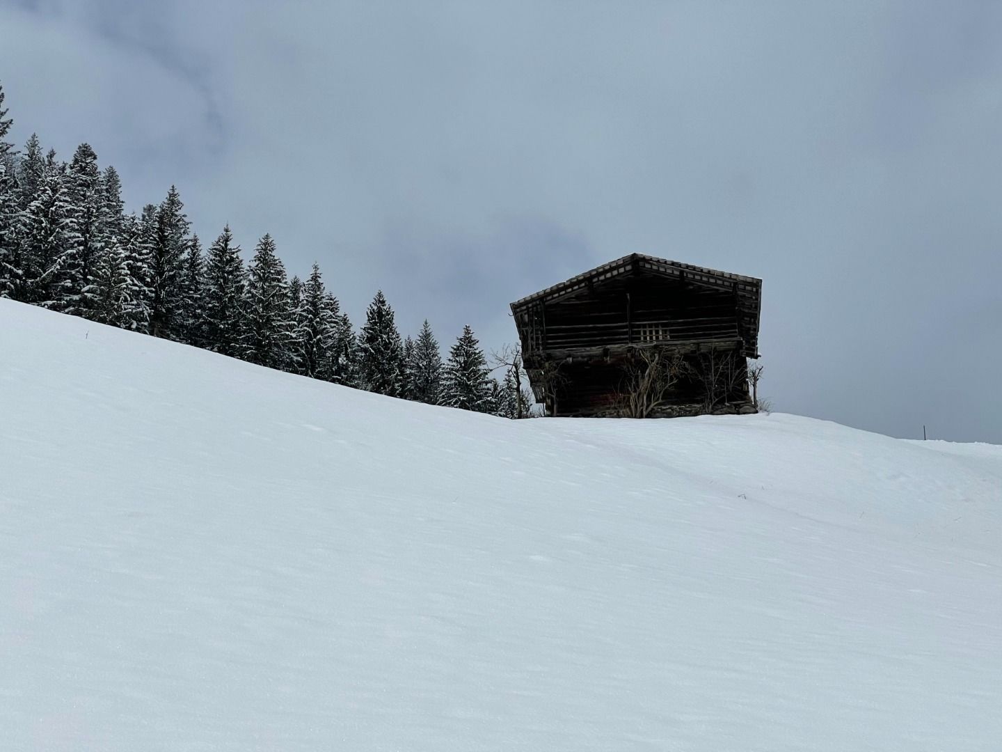
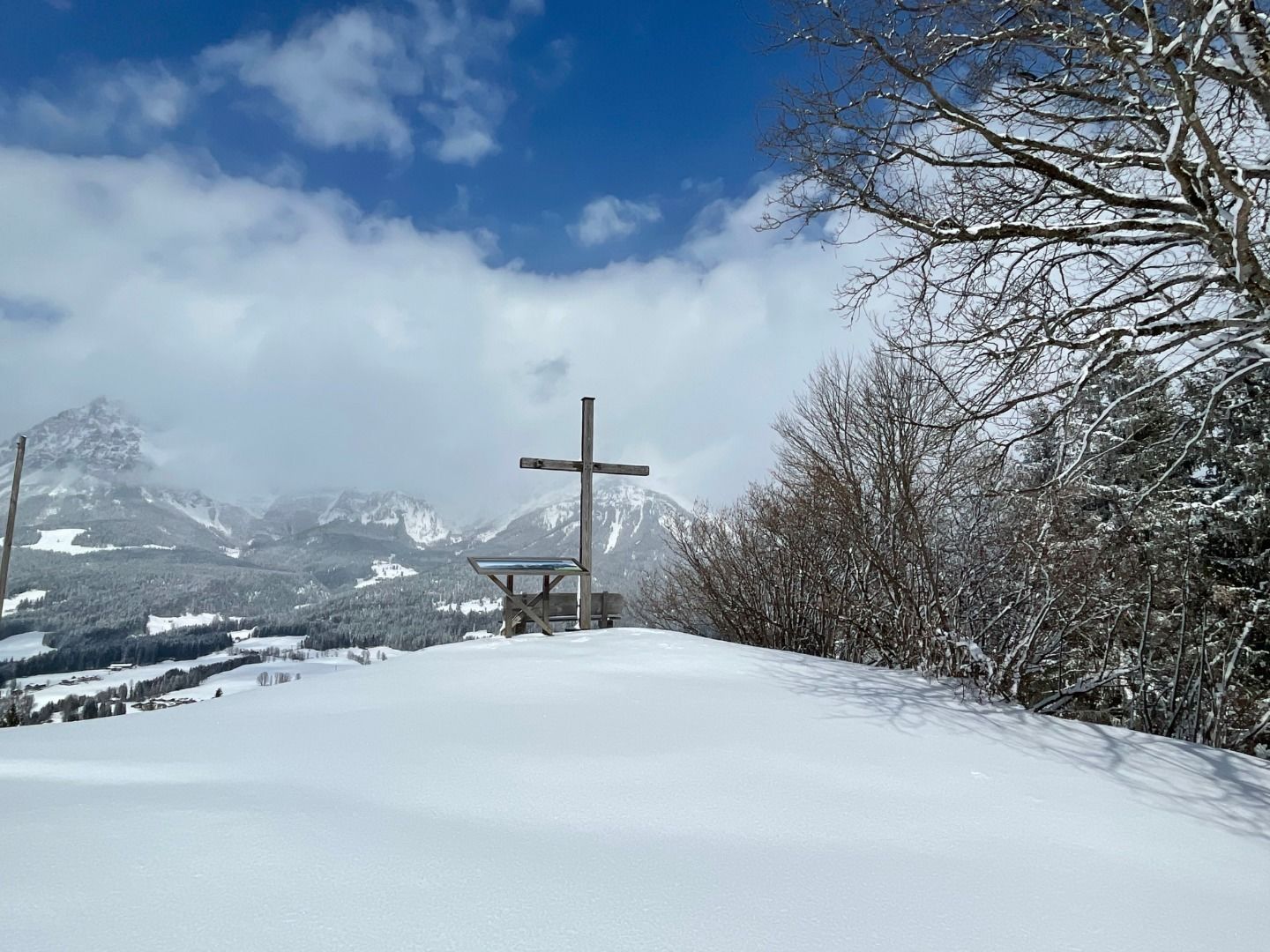
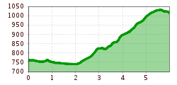
Winter hike Hollenauer Kreuz

Reith bei Kitzbühel /
Difficulty ratings: medium
Route length: 6.0 km
Duration: 2:00 h

Hollenauer Kreuz

Tour information

  • Requirement: medium
  • Length: 6.0 km
  • Duration: 2:00 h
  • Elevation uphill:338 hm
Highest point 1,032 m

Starting point

Gemeindeamt Reith (community office)

Finishing point

Hollenauer Kreuz

Equipment

Ankle-high walkingboots, functional mountain clothing, gaiters, spikes, a comfortable rucksack, hiking poles, snacks and drinks

Description

Gemeindeamt Reith (community office) - Kirche - Reinache - Winkel - Astberg - Hollenauer Kreuz

Getting here

  • Contact

    Hollenauer Kreuz
    ****

Newsletter

The mountain is calling? So does our newsletter!

In our weekly newsletter we reveal the best holiday tips for Tyrol.