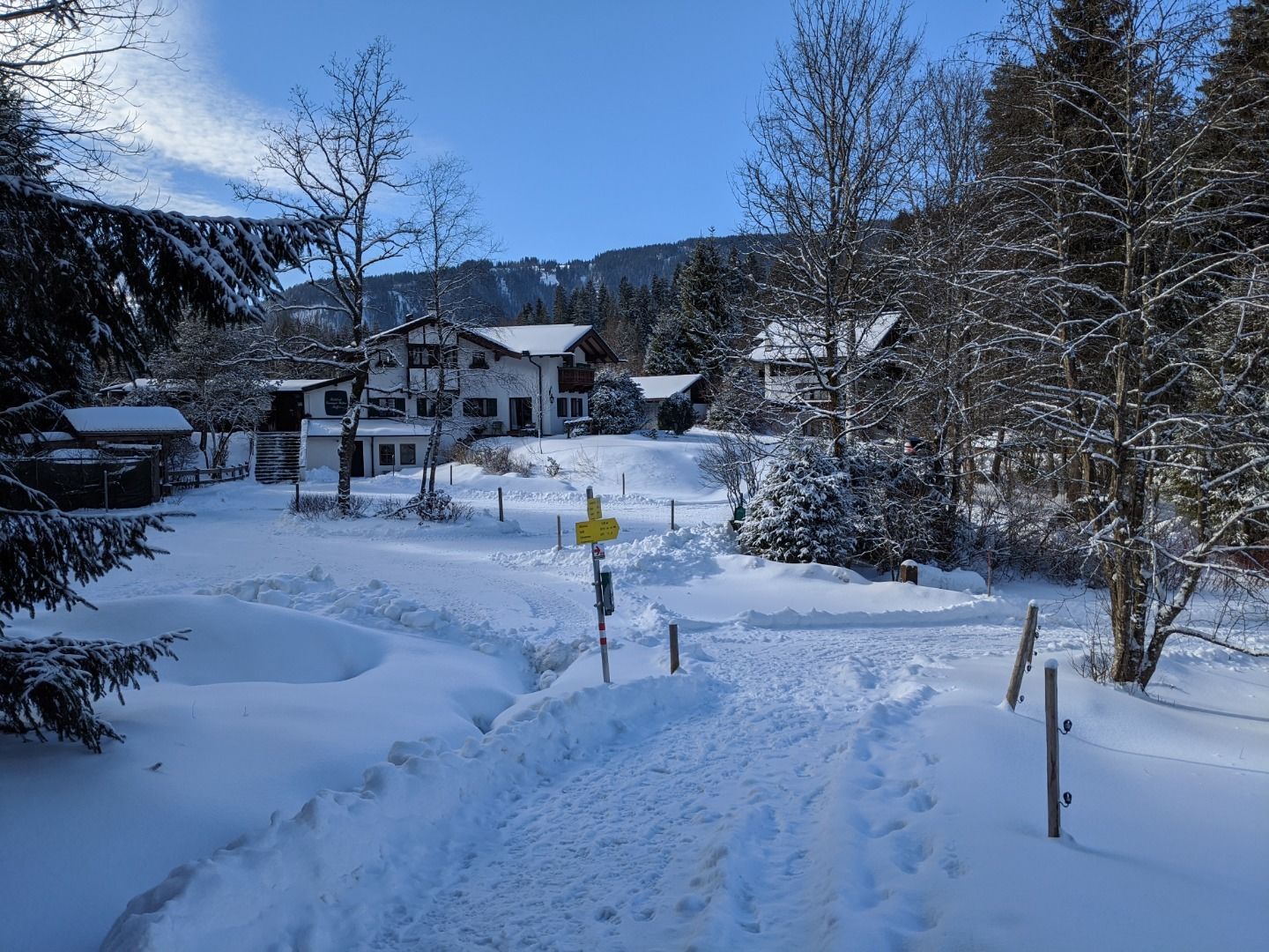
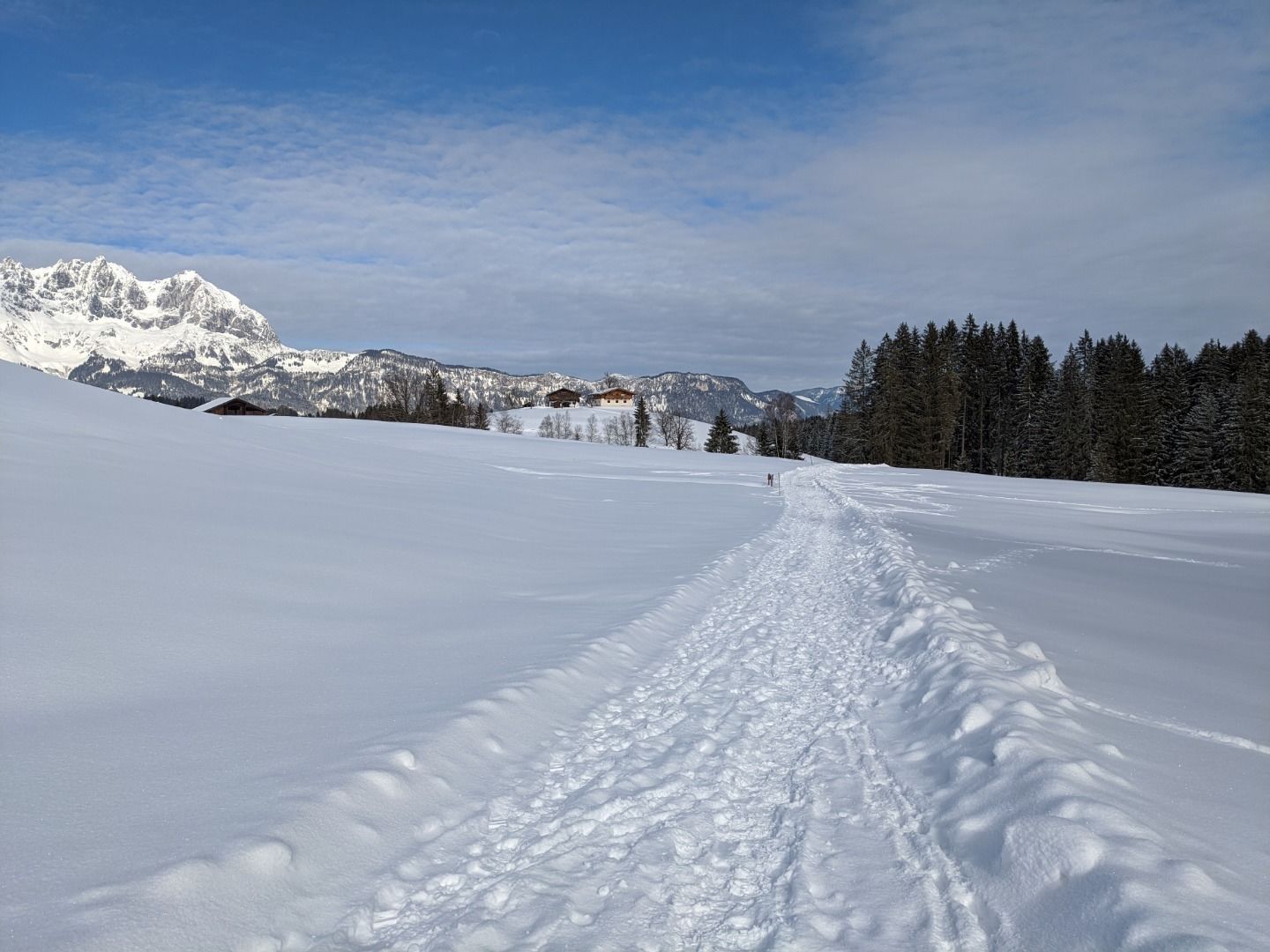
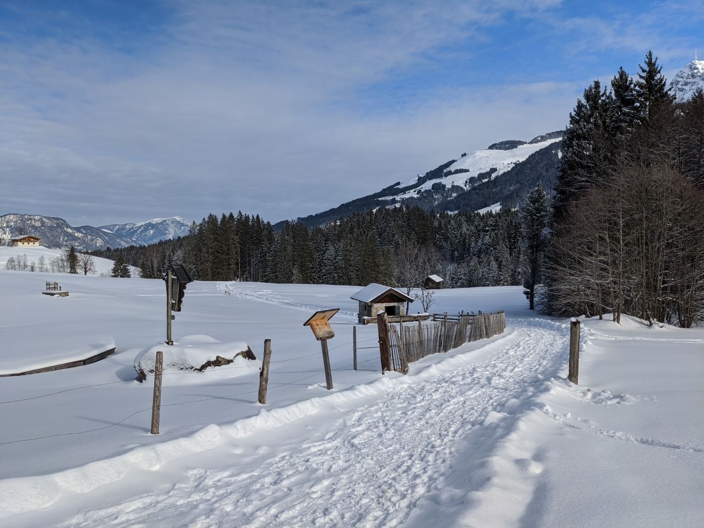
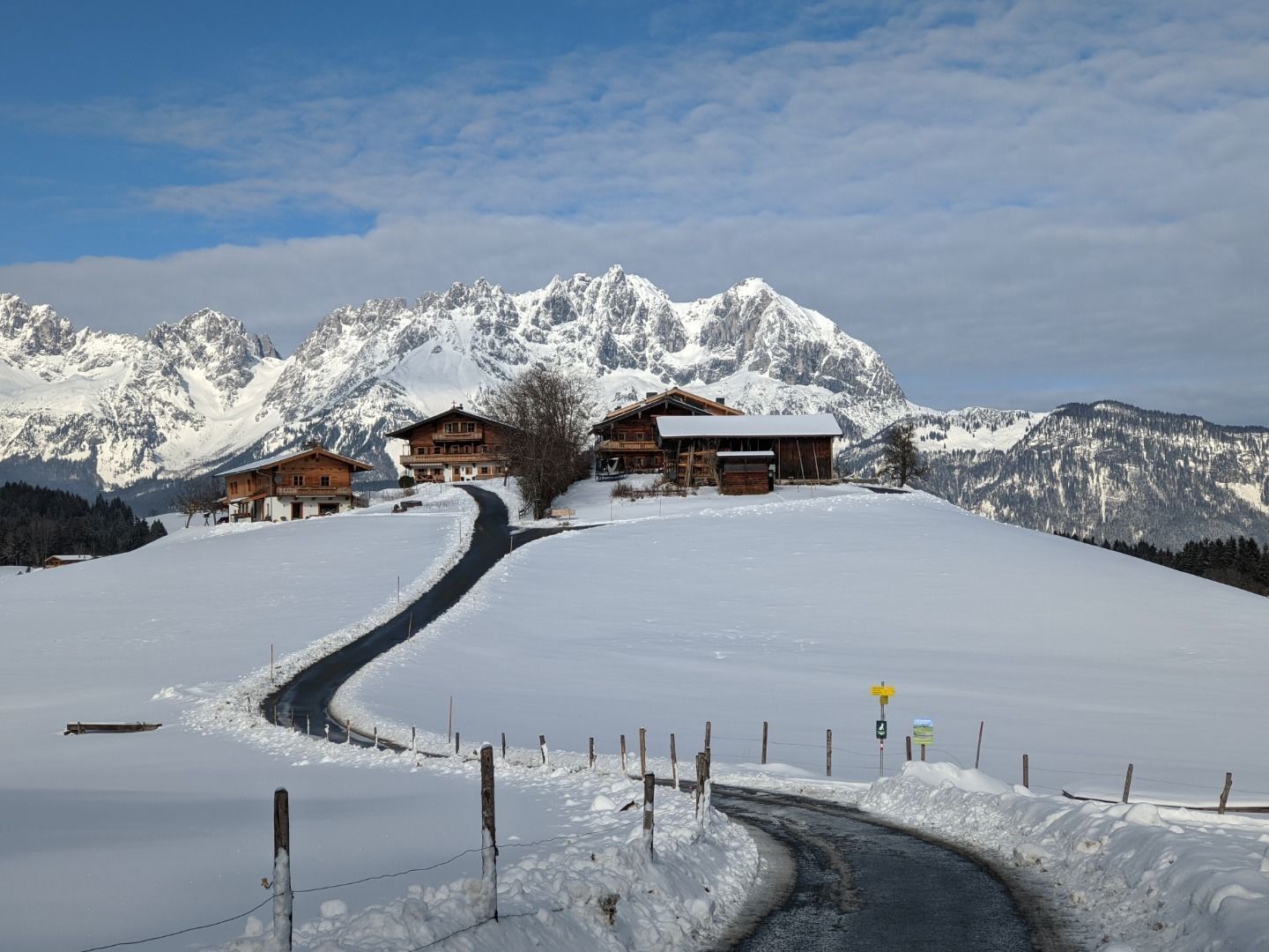
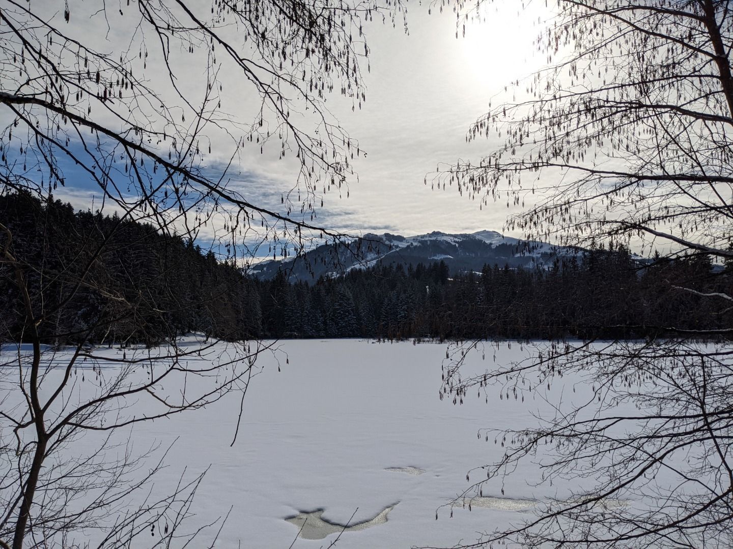
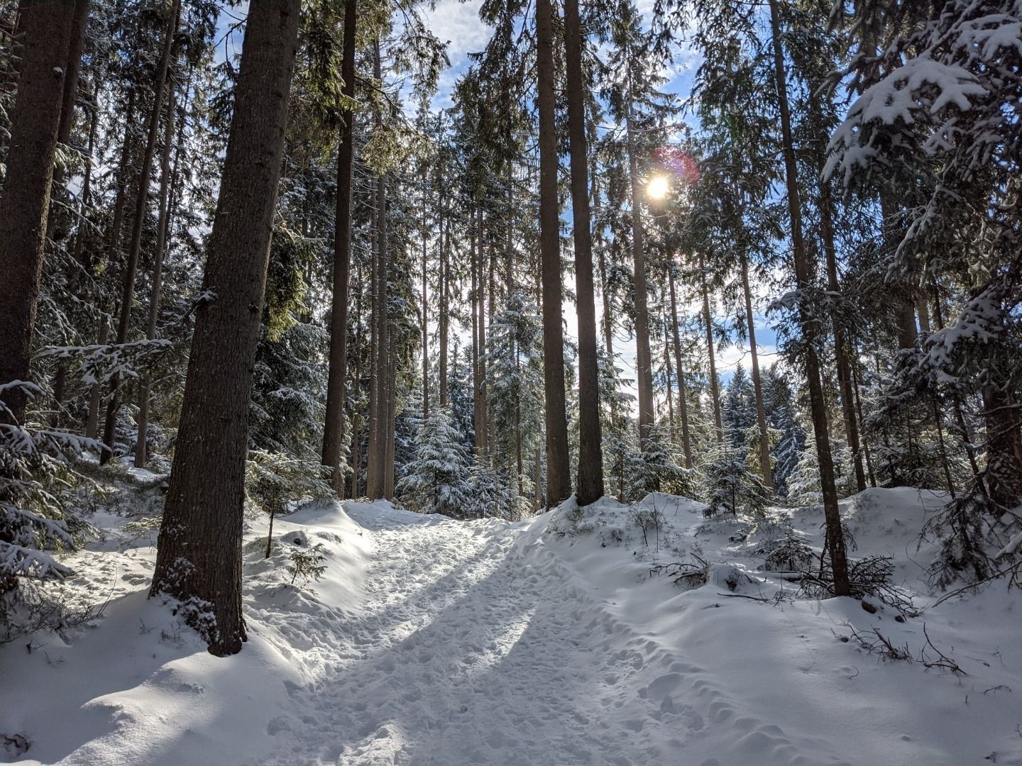
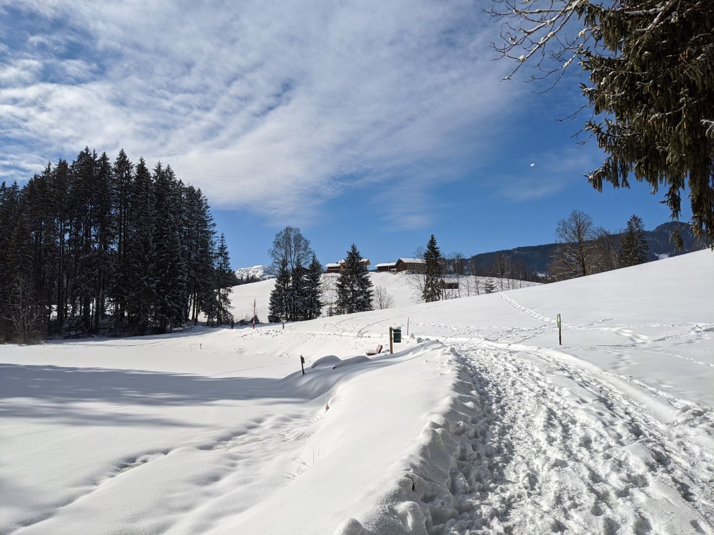
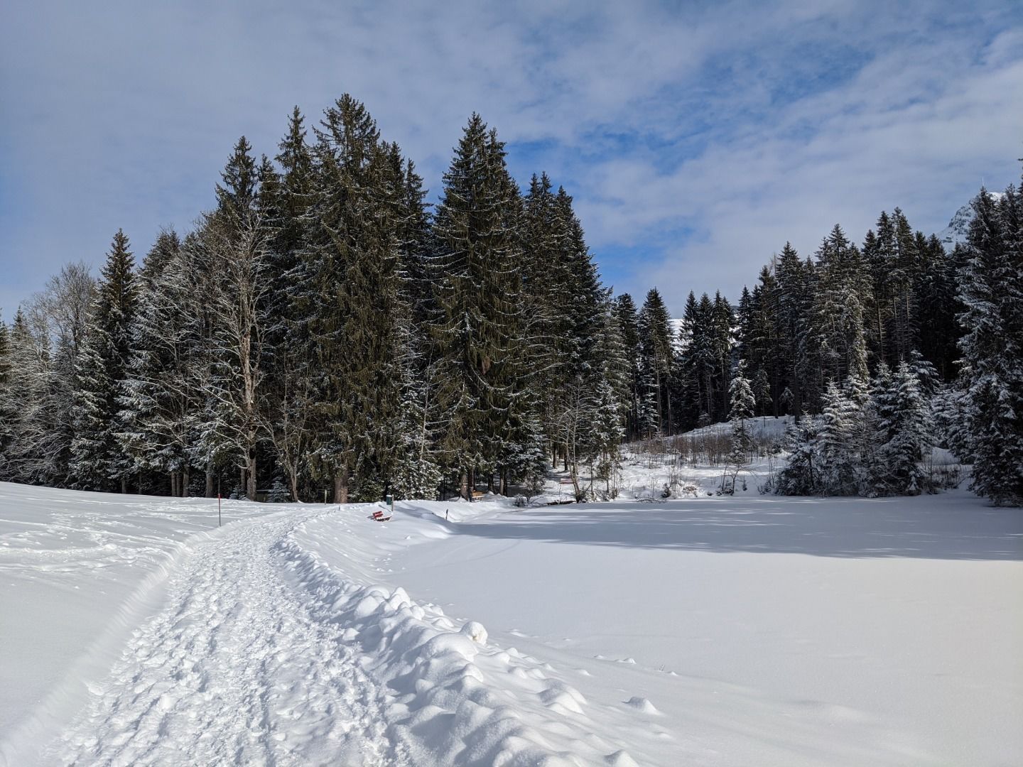
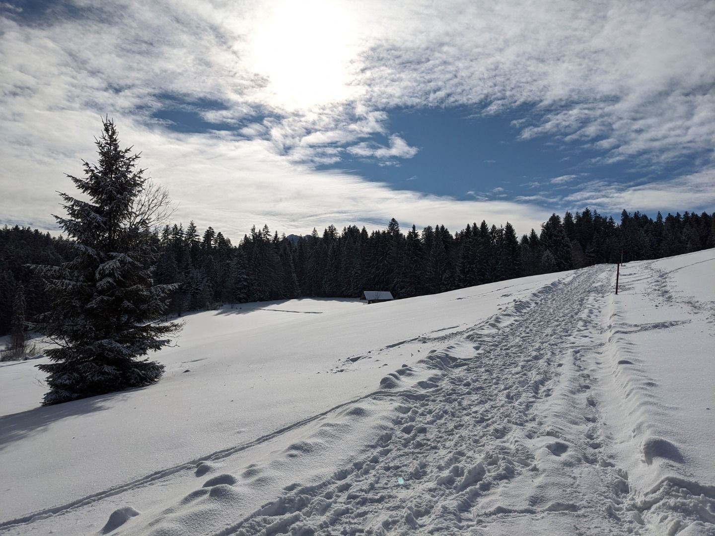
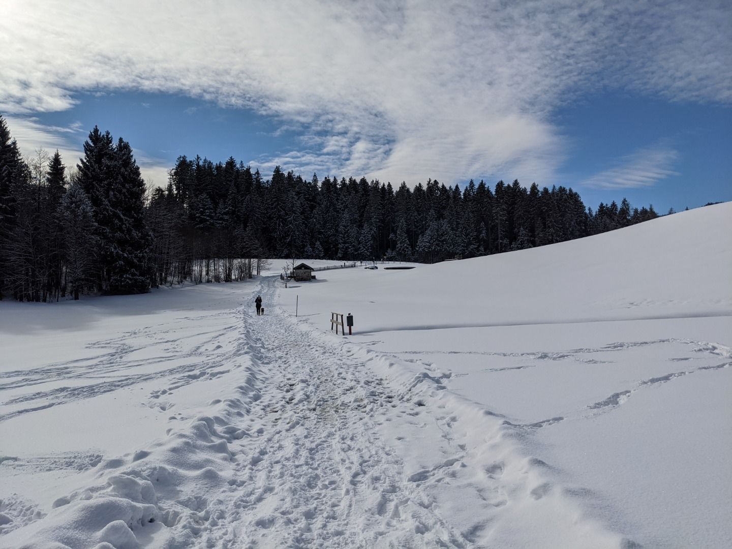
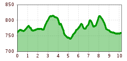
Winter hike Hörpfing

Reith bei Kitzbühel /
Difficulty ratings: medium
Route length: 10 km
Duration: 3:30 h

Hörpfing

Tour information

  • Requirement: medium
  • Length: 10 km
  • Duration: 3:30 h
  • Elevation uphill:237 hm
Highest point 813 m

Starting point

Gemeindeamt Reith

Finishing point

Gemeindeamt Reith

Equipment

Ankle-high walkingboots, functional mountain clothing, gaiters, spikes, a comfortable rucksack, hiking poles, snacks and drinks

Description

Gemeindeamt Reith (community office) - Kirche - Golfplatz - Schwarzsee - Hennleiten - Fleckalmbahn - Griesbach - Münichau - Gieringer Weiher - Münichau - Hallerndorf - Reith

Getting here

  • Contact

    Hörpfing
    ****

Newsletter

The mountain is calling? So does our newsletter!

In our weekly newsletter we reveal the best holiday tips for Tyrol.