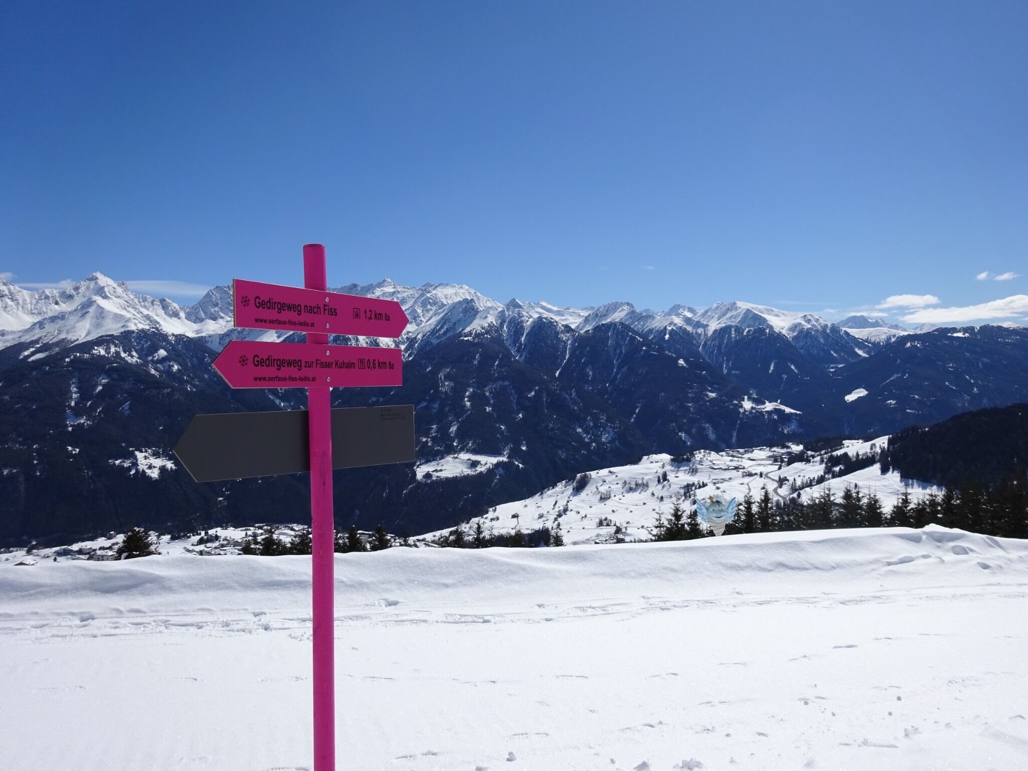
DescriptionThe trail starts just beneath the Kuh Alm Fiss restaurant and the toboggan run. From there, follow the signs via the Gerdirgewiesen meadows to Fiss.
Winter walk along the Waldweg HögDifficulty: easy Length: 5.0 km Duration: 1:45 h Go to winter hikeMore about Winter walk along the Waldweg Hög
Give feedback for a chance to win a special holiday experience!Click here for the surveyClick here for the survey