Winter hike Achenstüberl

Reith bei Kitzbühel /
Difficulty ratings: easy
Route length: 5.4 km
Duration: 1:30 h

Leisurely hike along the Reither Ache.

Tour information

  • Requirement: easy
  • Length: 5.4 km
  • Duration: 1:30 h
  • Elevation uphill:31 hm
Highest point 763 m

Starting point

Gemeindeamt Reith

Finishing point

Gemeindeamt Reith

Description

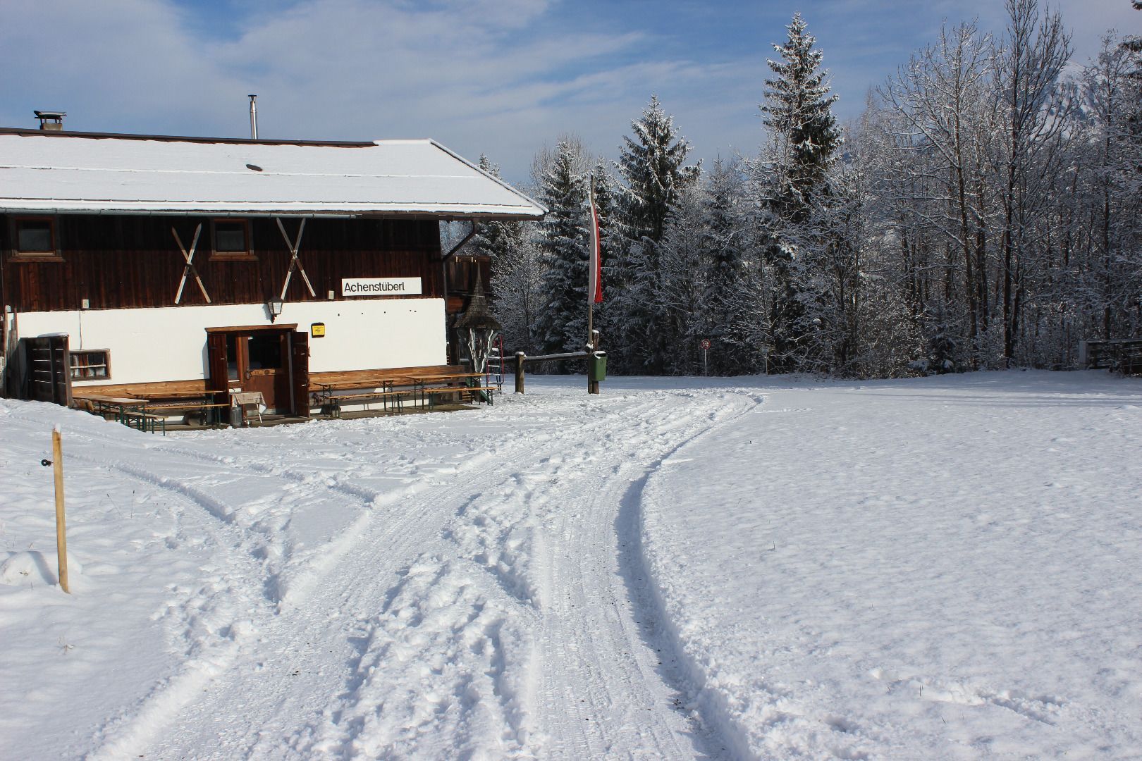
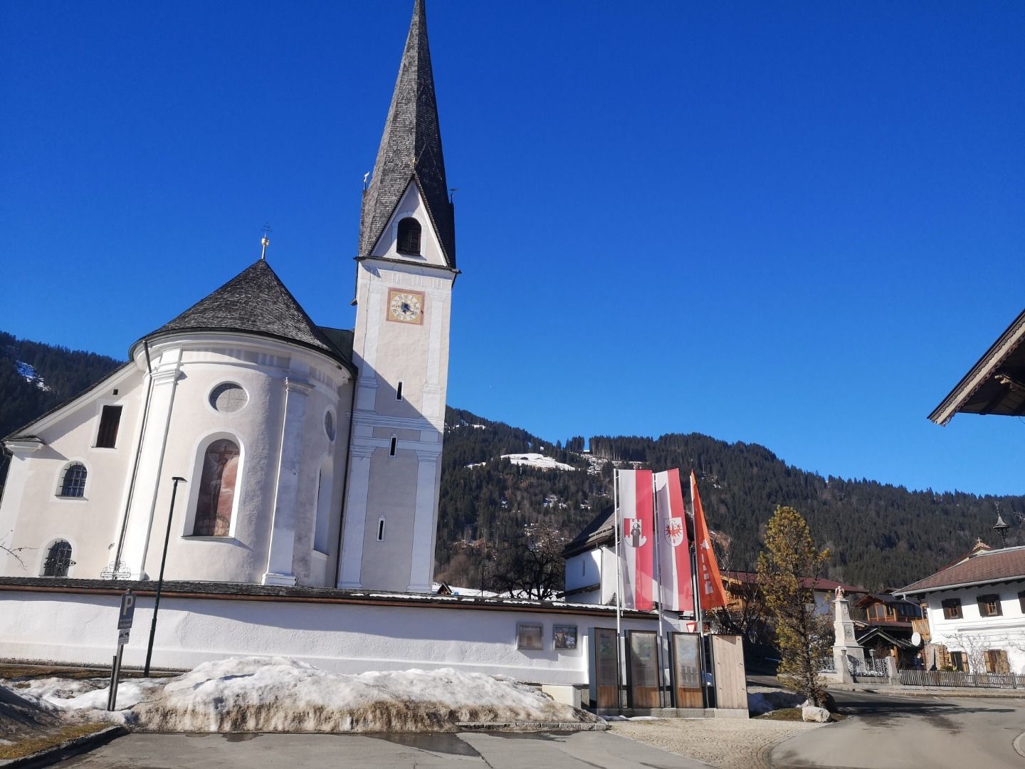
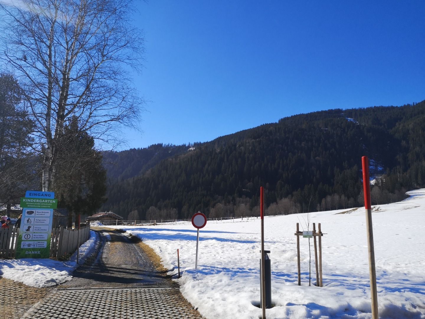
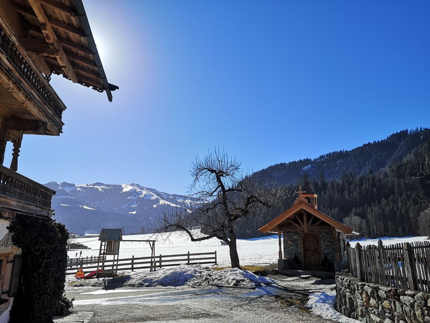
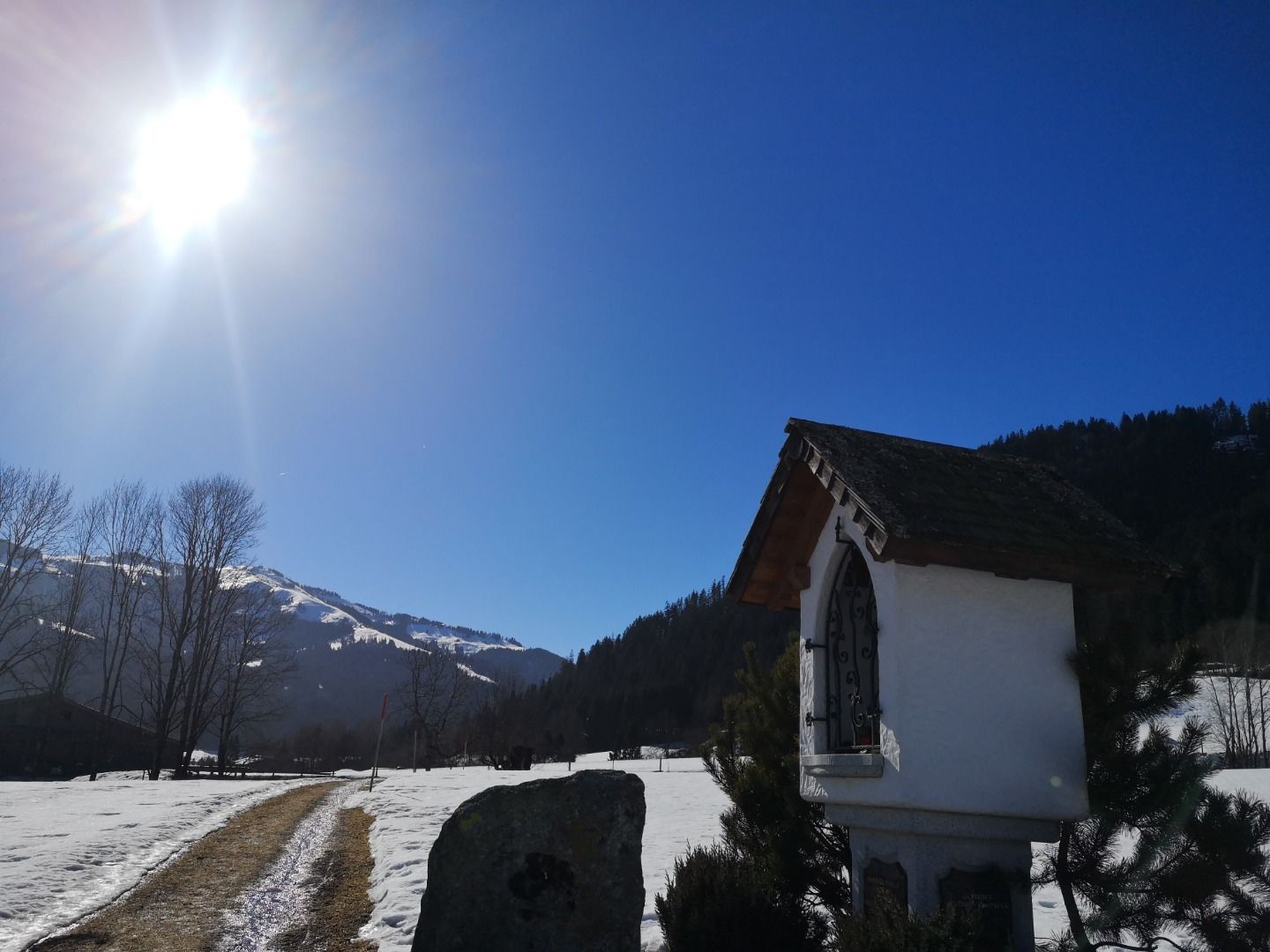
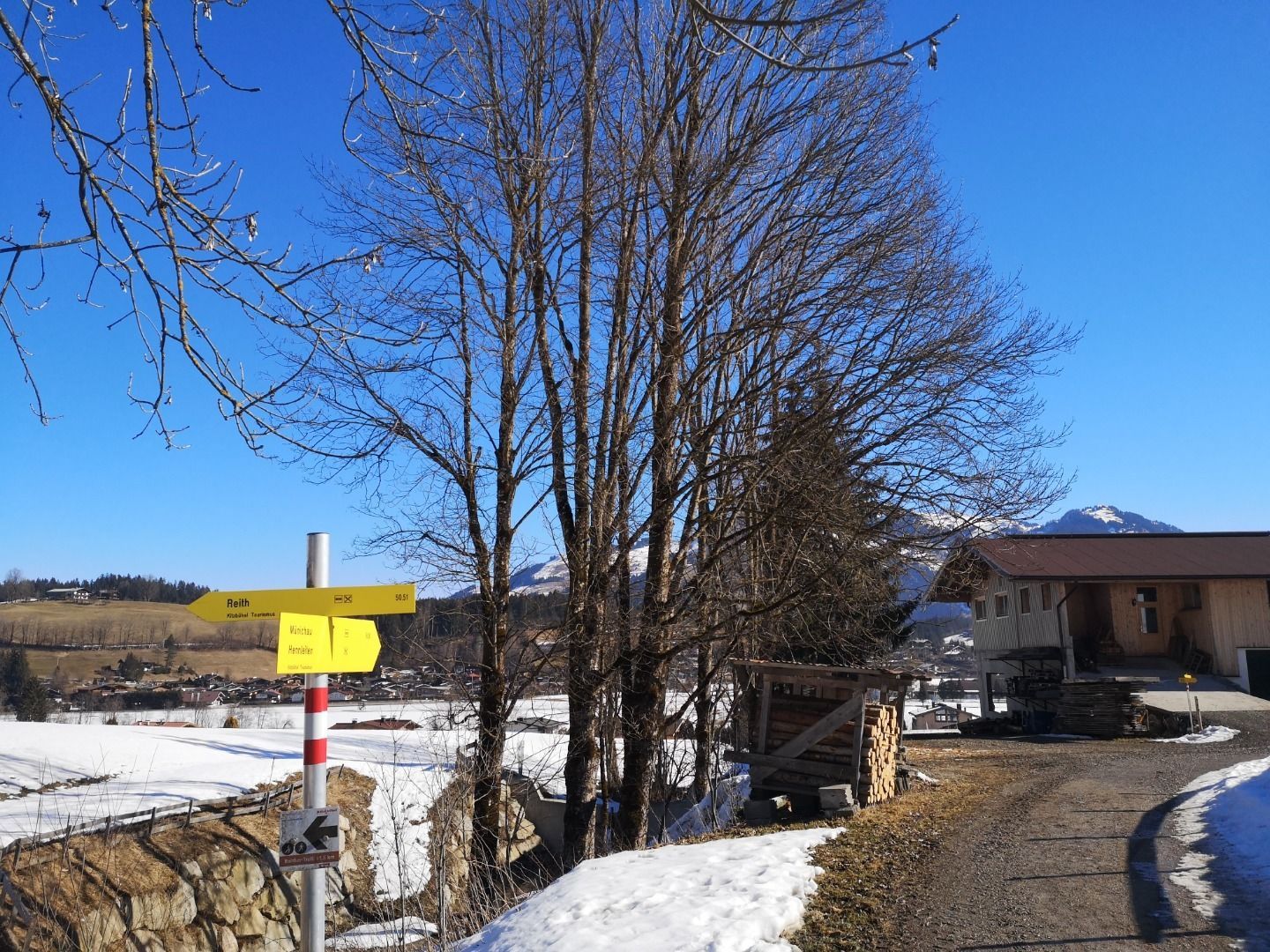
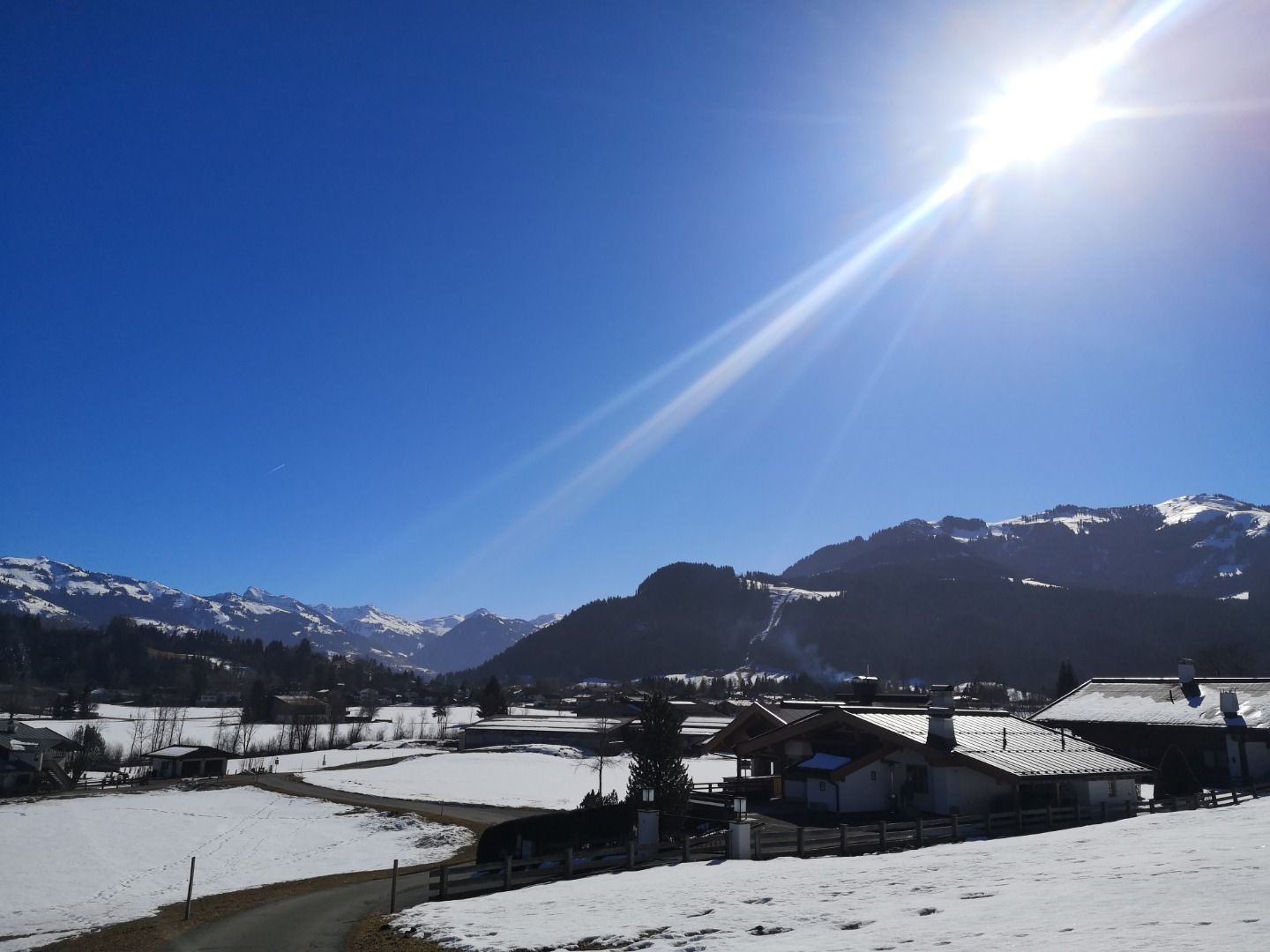
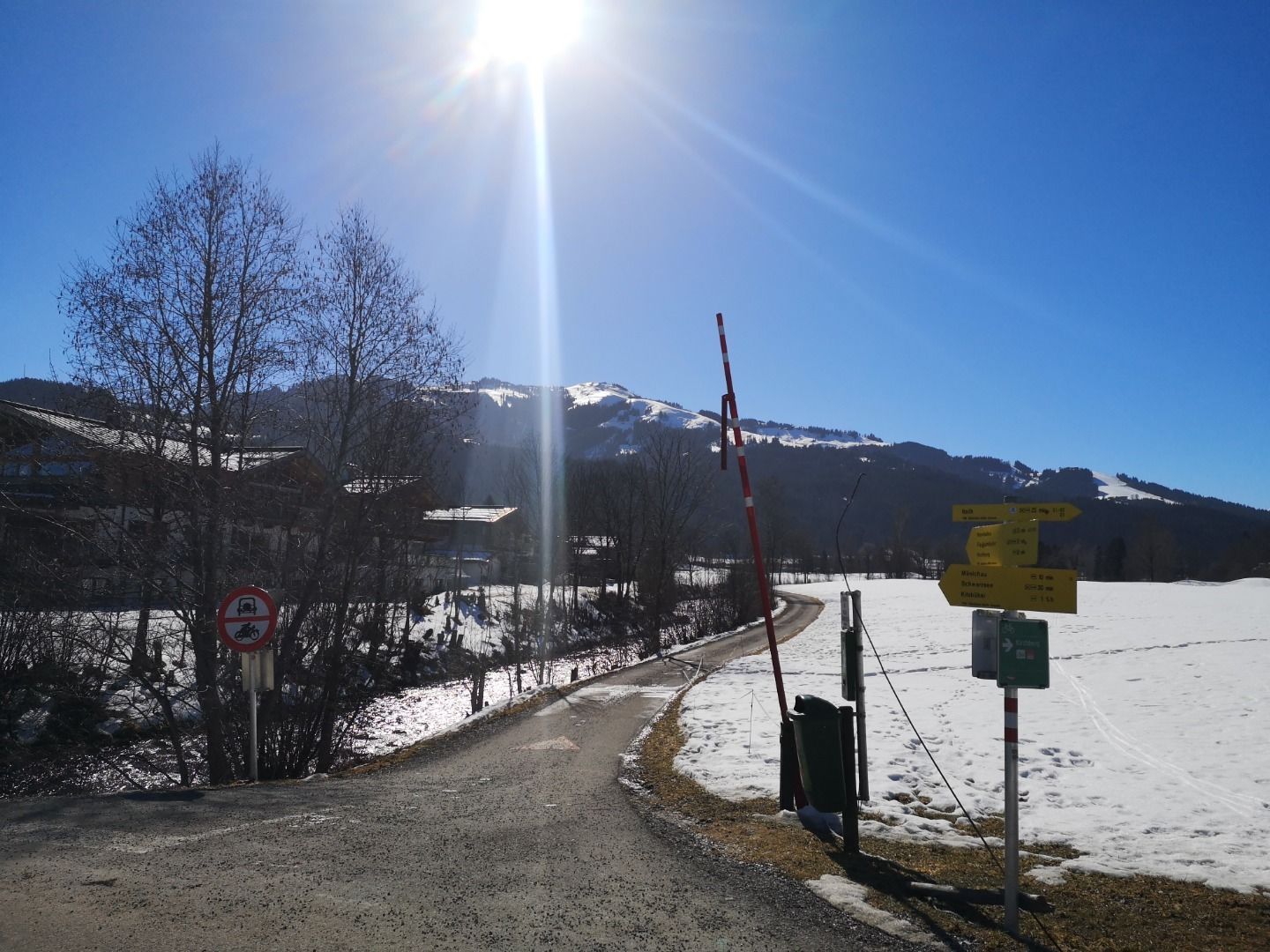
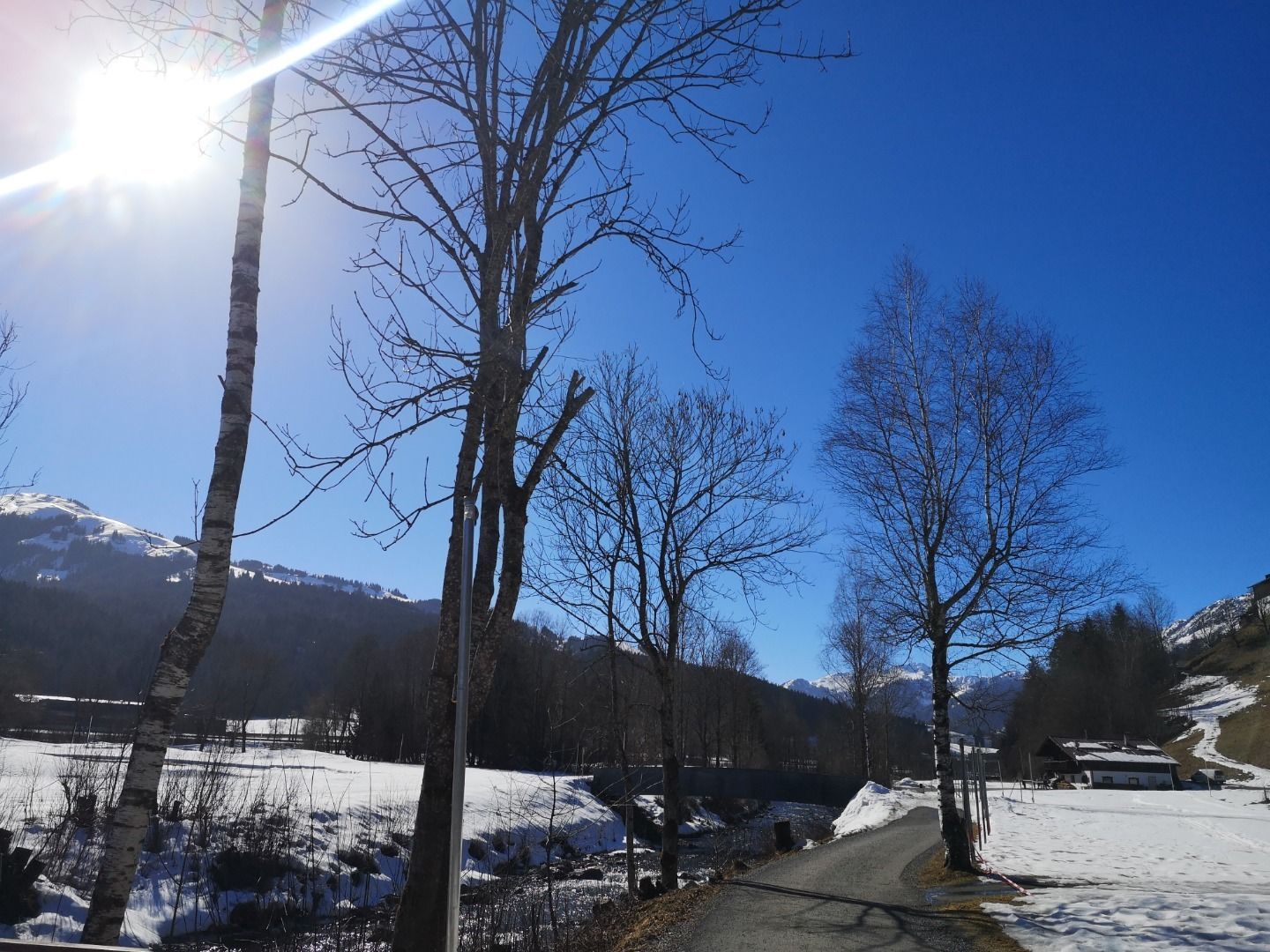
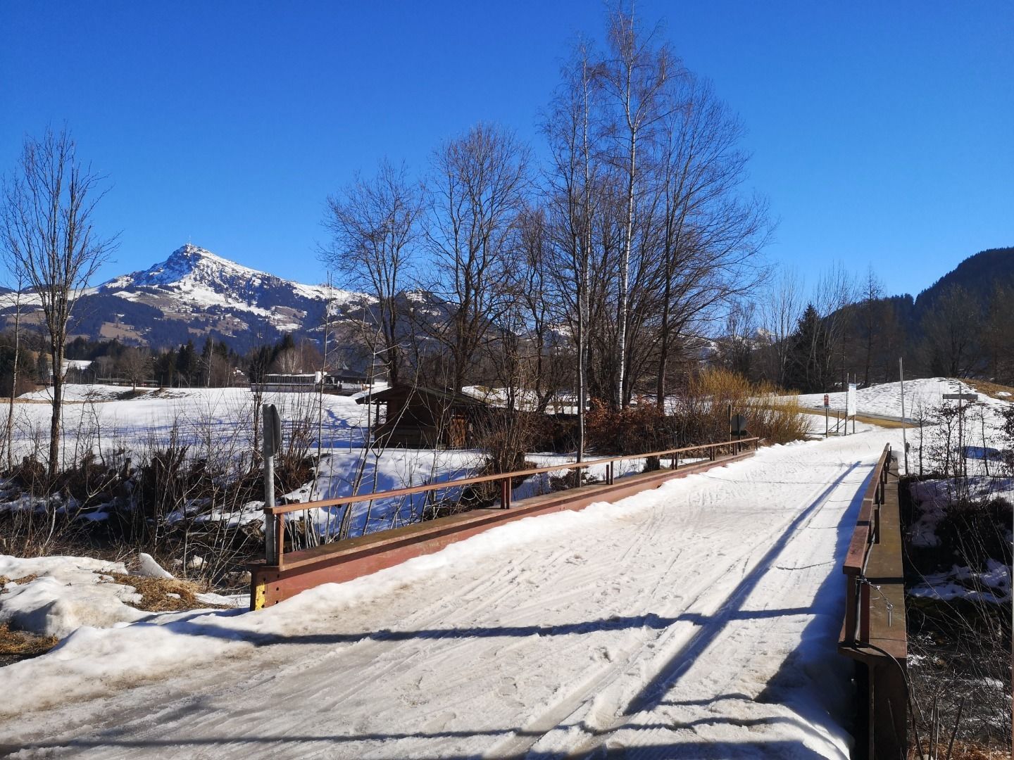
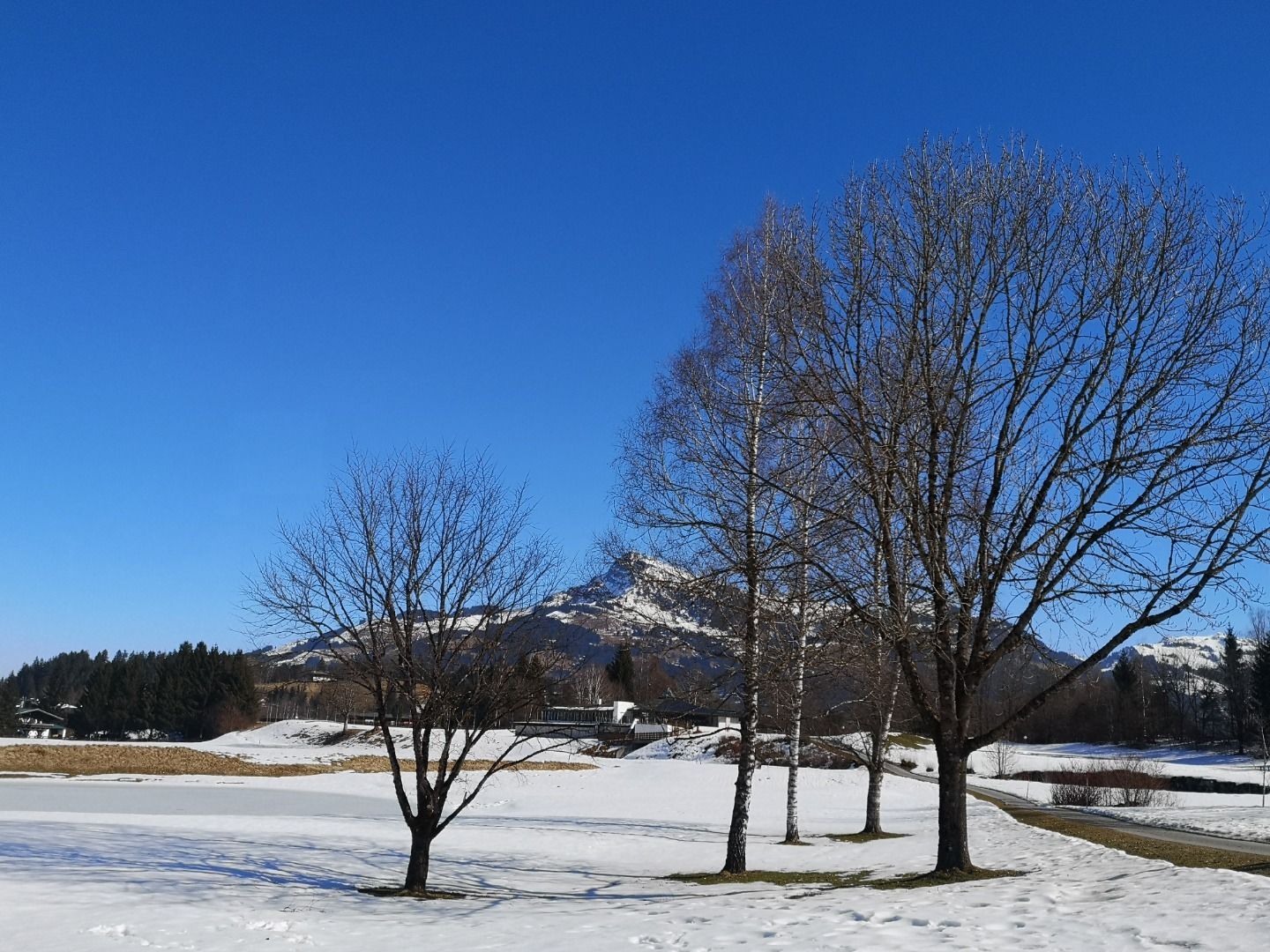
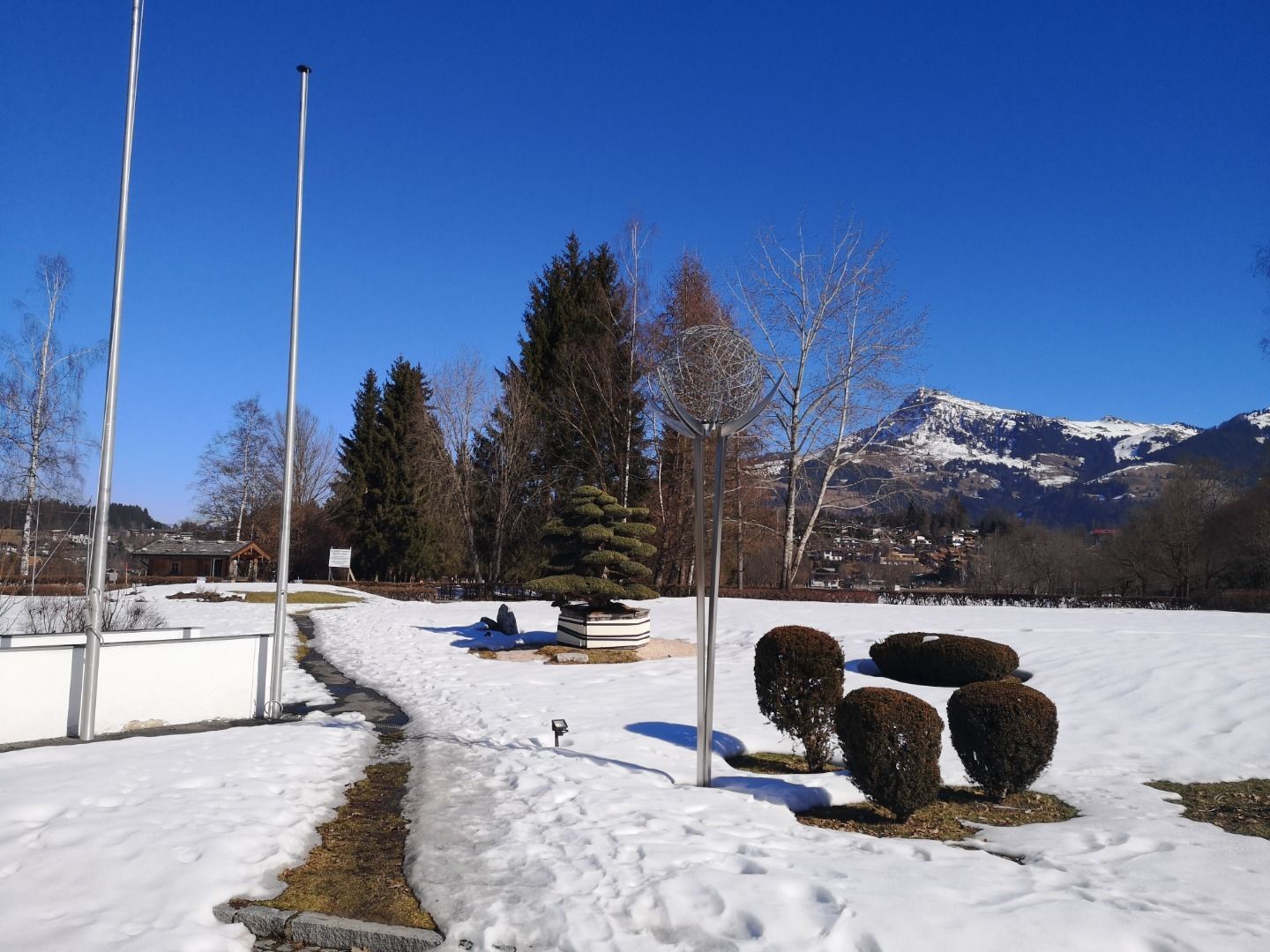
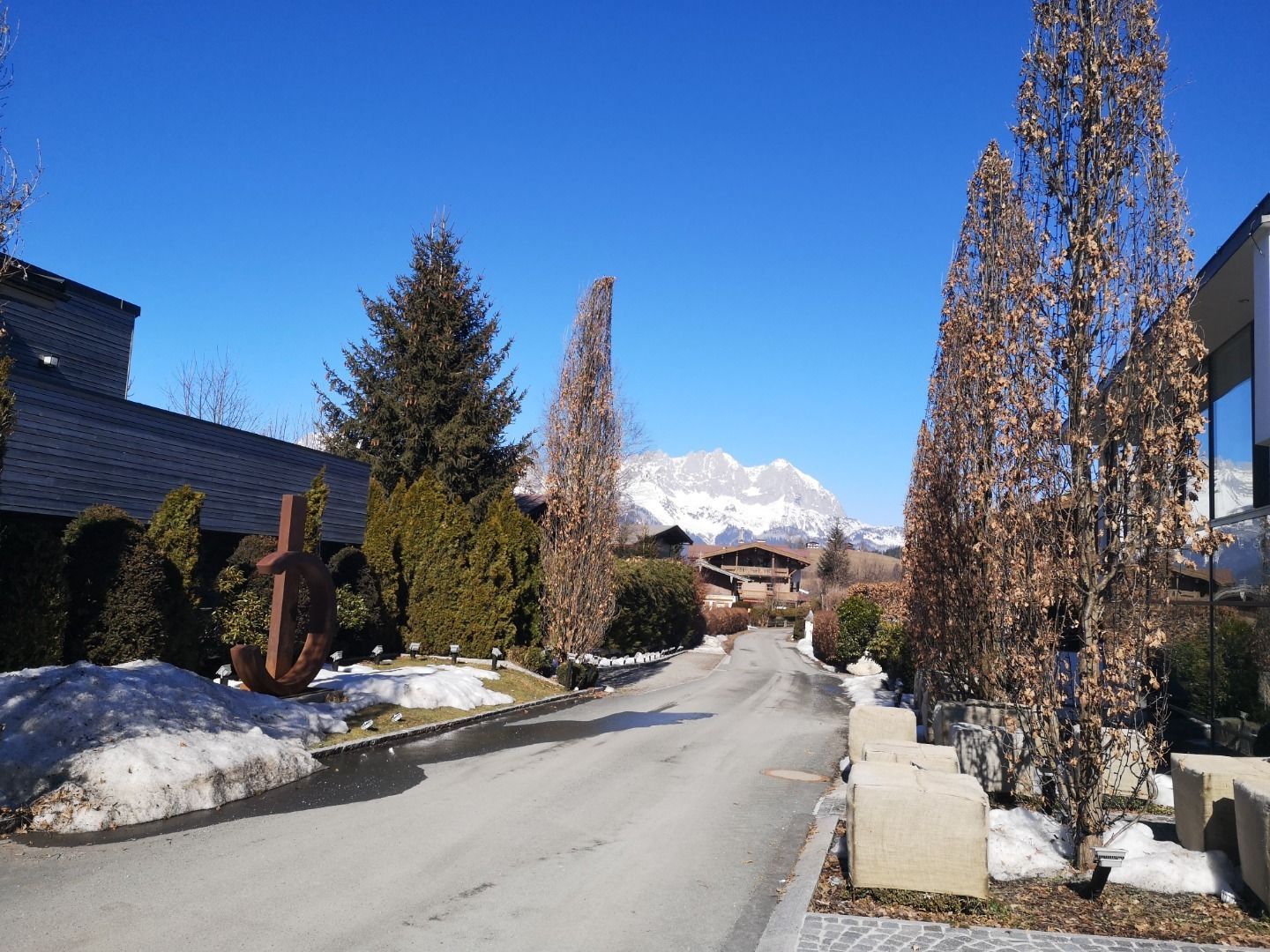
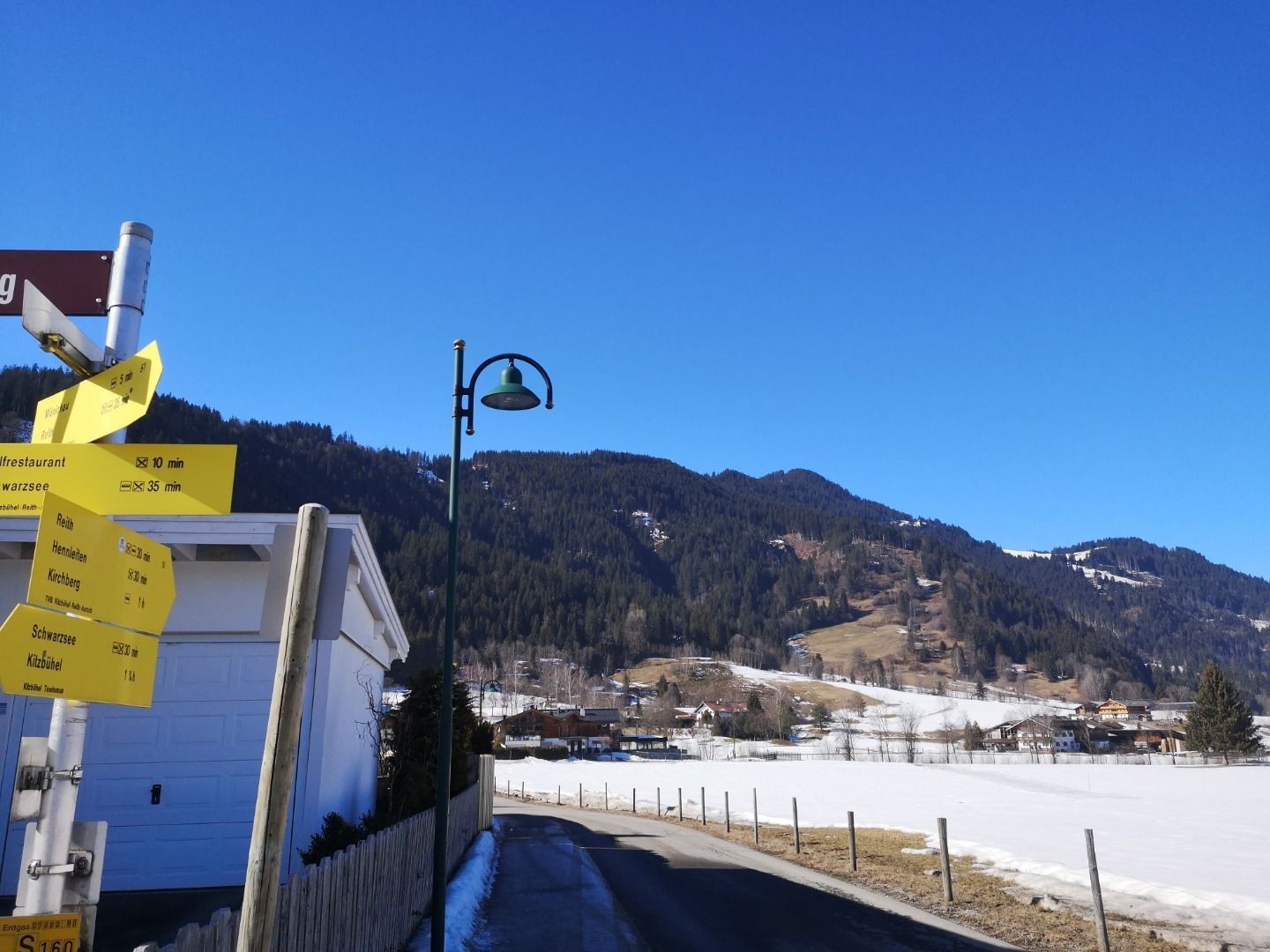
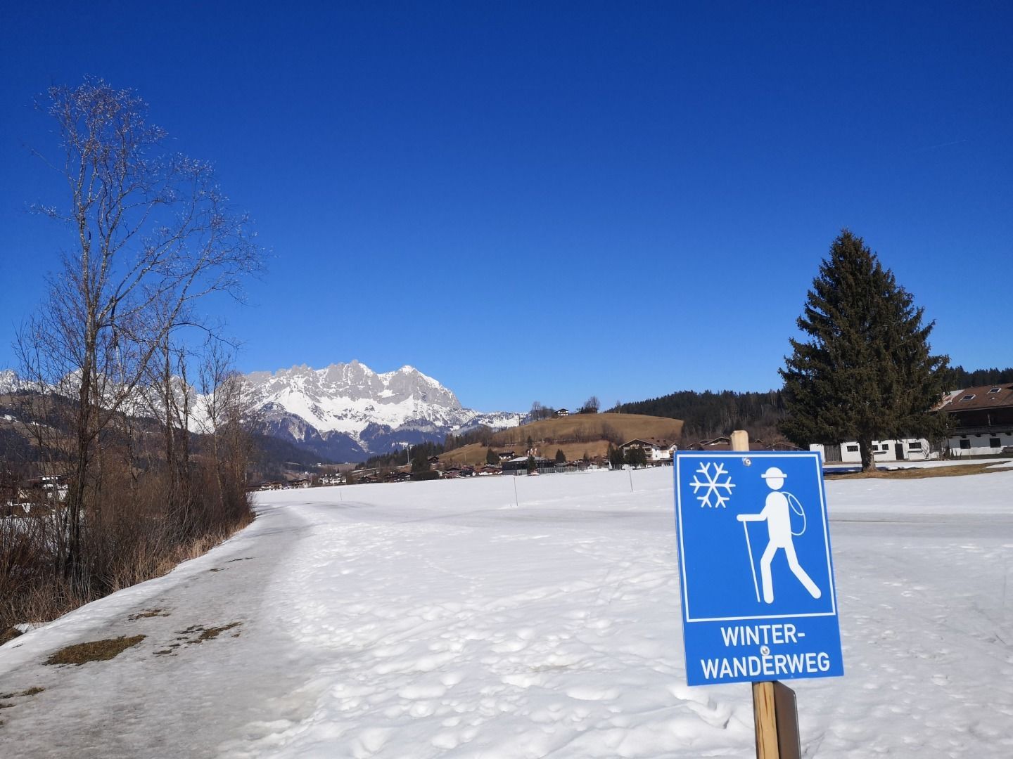
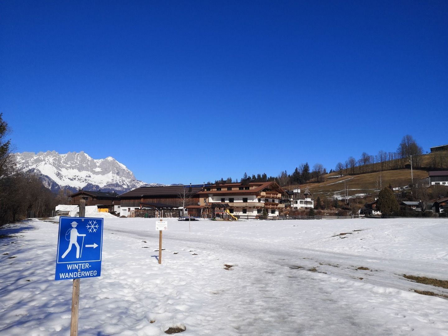
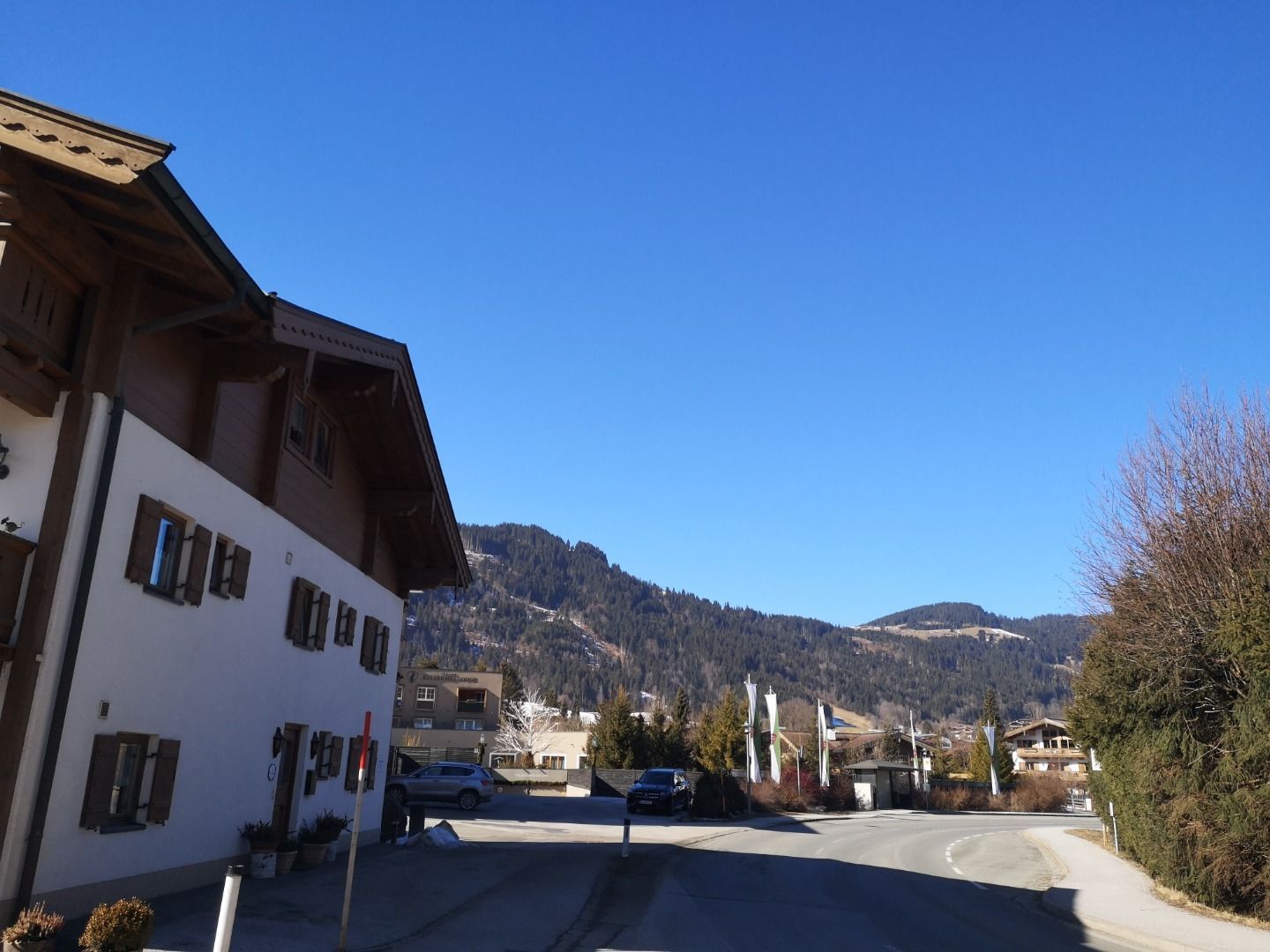
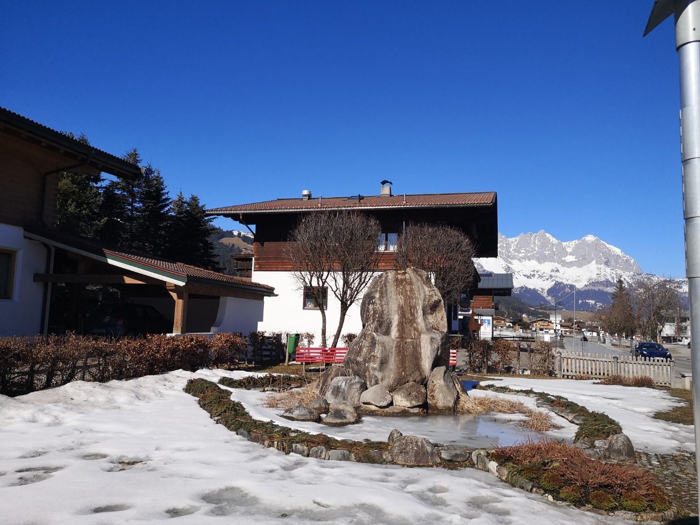
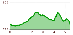
The hike starts at the Wander-Infoplatz in Reith and leads us past the church, via Hallerndorf, to Münichau. from there we cross the wintery snowy golf course Kitzbühel Schwarzsee Reith, to the sunny Achenstüberl directly at the cross country ski trail. The Achenstüberl is perfect to linger a little in the sun. Back you hike, constantly with the Wilder Kaiser in view, via Griesbach and Hallerndorf. 

Getting here

  • Contact

    Achenstüberl

    ****

Newsletter

The mountain is calling? So does our newsletter!

In our weekly newsletter we reveal the best holiday tips for Tyrol.