Arrival by public transport
Take public transport to Seefeld Railway Station.
All real-time connections can be found in the route planner.
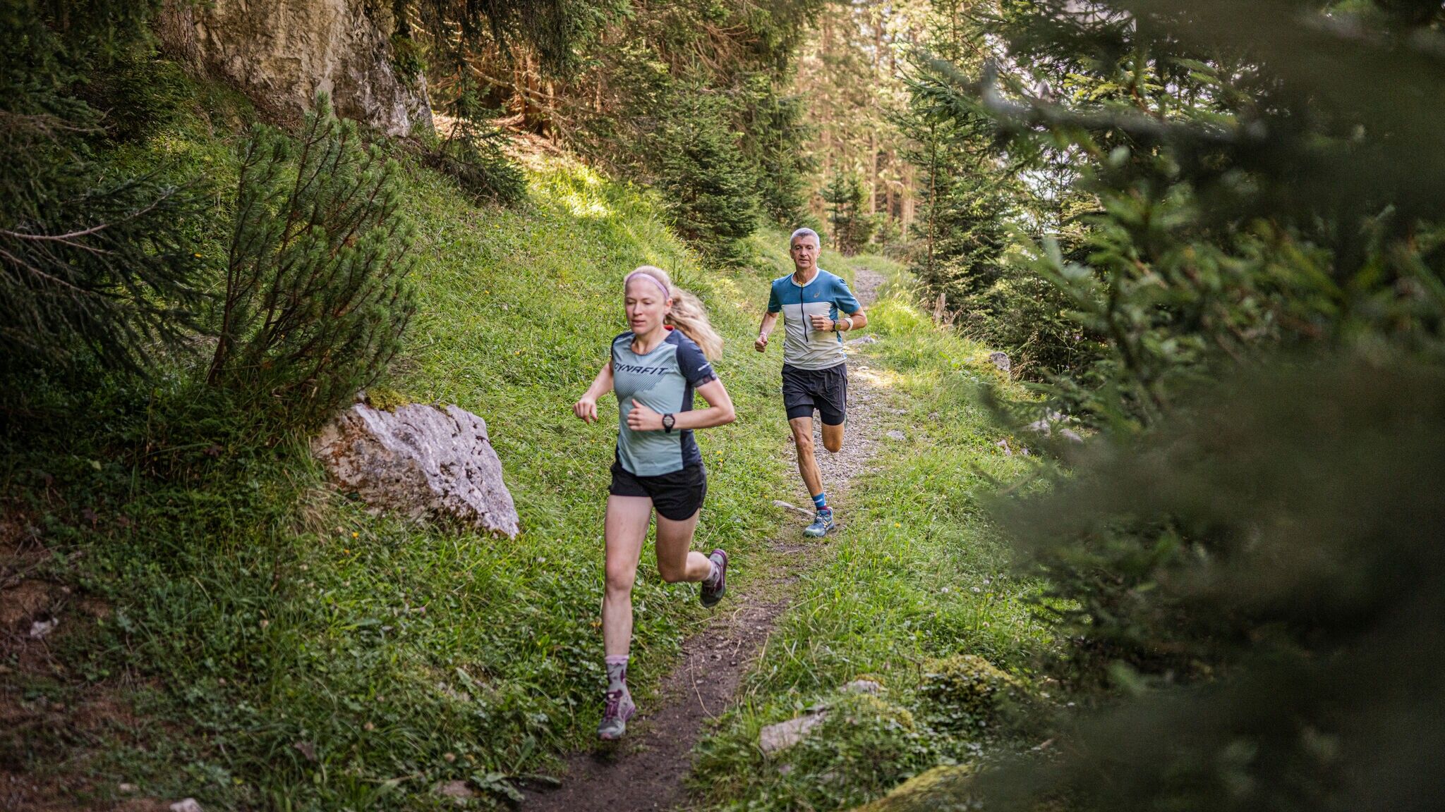
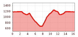
Easy trail running loop from Seefeld around Hochleithenkopf, passing through diverse forest and meadow landscapes with impressive views of the Inn Valley.

Attention: The access road to Gschwandtkopf from Reith is closed for one week due to forestry work.
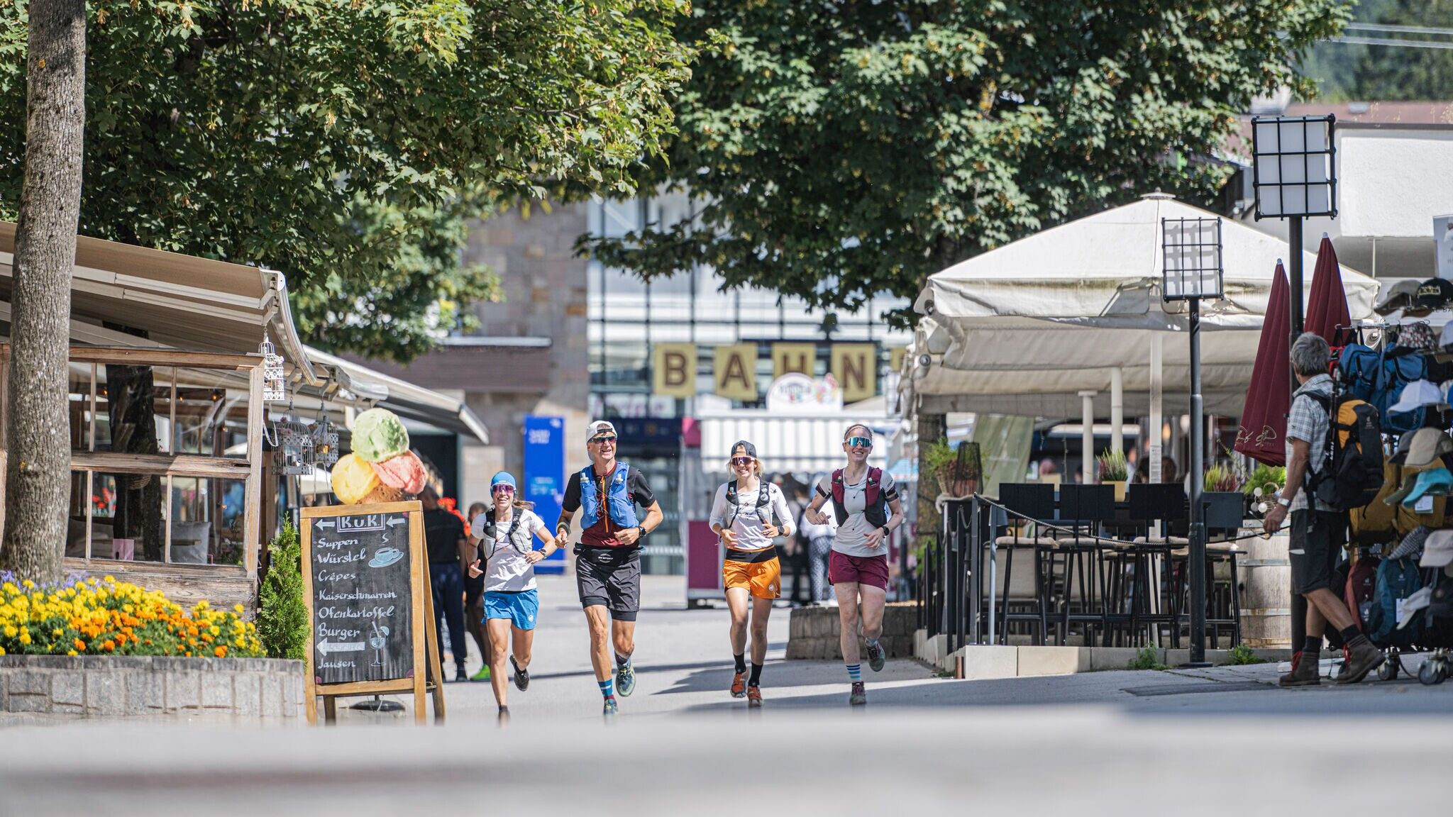
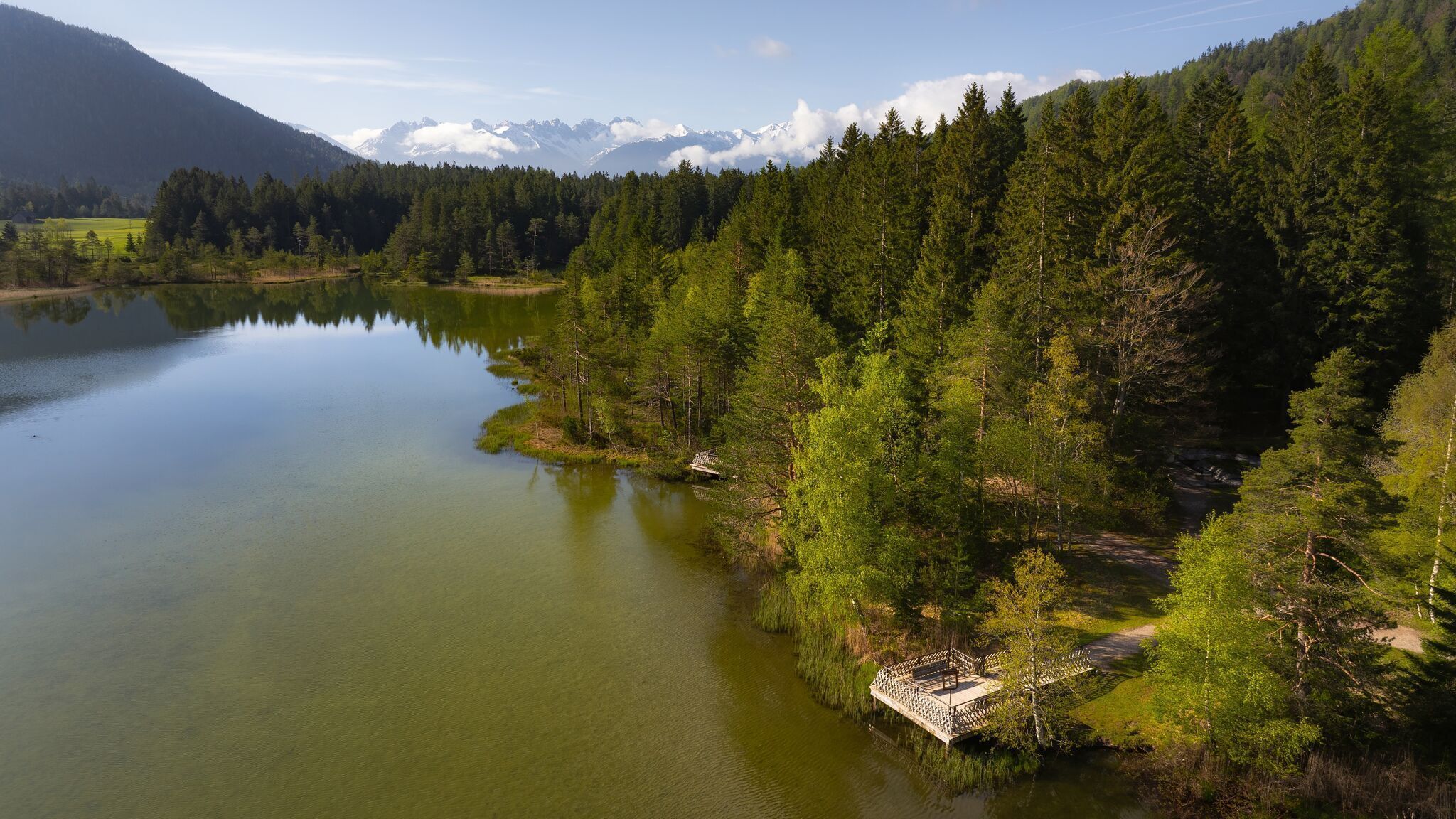
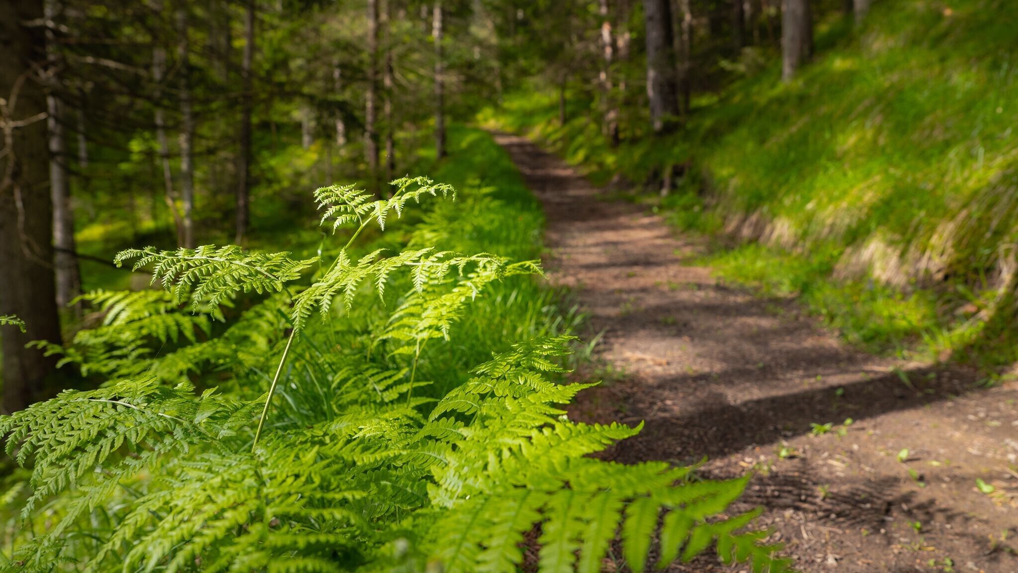
Starting at Seefeld train station, the route first passes through the pedestrian zone before continuing towards Wildsee. From there, it leads through the forest to the Auland district, where the paved Mühlbergweg begins, ascending towards Mühlberg.
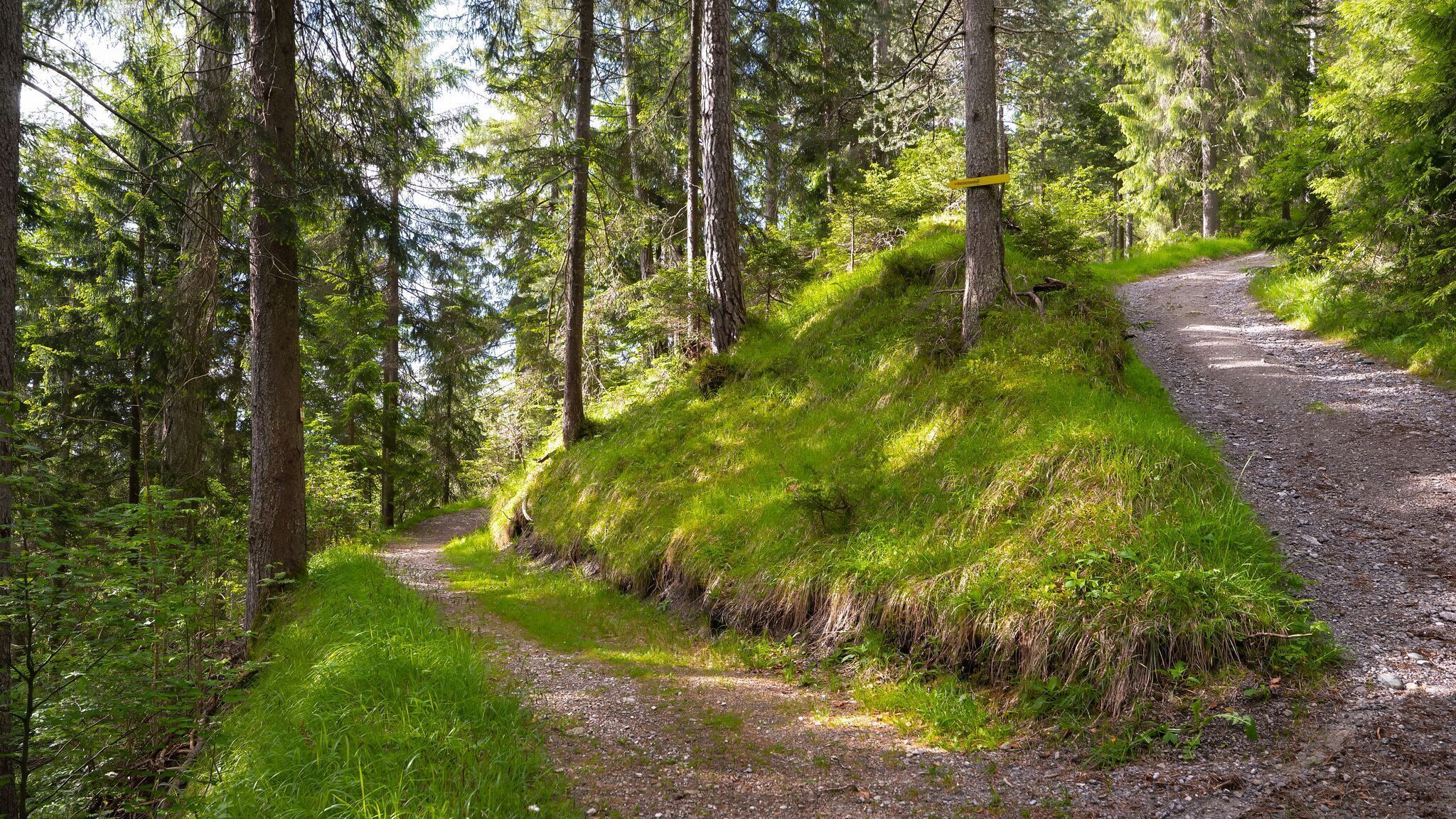
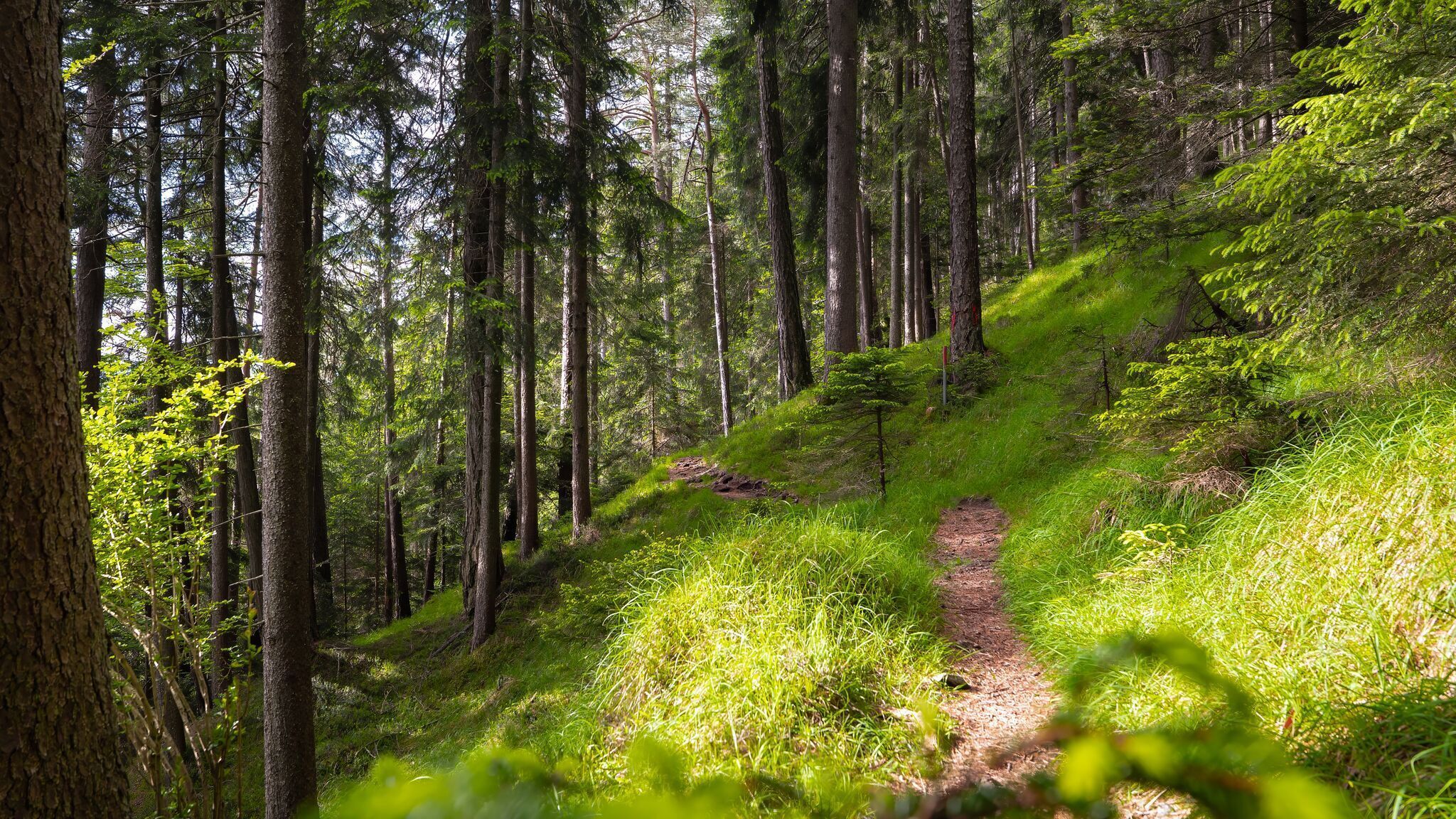
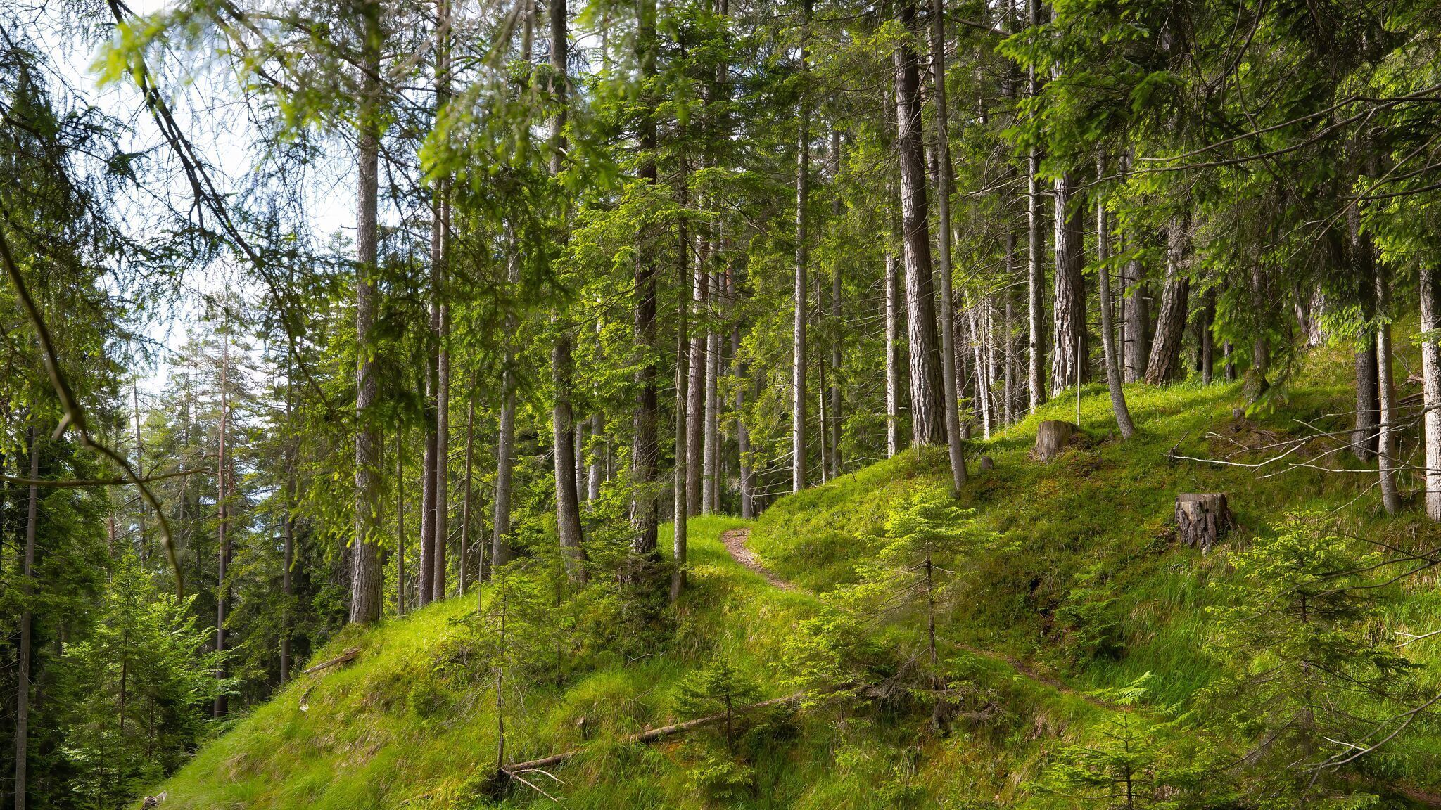
In the forest, take a left turn following the sign for Hochleithenkopf. The trail continues gently left and descends towards Leiblfing. Just above Leiblfing, the natural path starts to ascend again.
The next section climbs steadily, always staying on the forest path, until the route reaches the Mühlberg junction and the paved road again. From there, it follows the already familiar path back to Seefeld.
Back in Seefeld, the trail passes through the pedestrian zone once more, where one of the many cafés or restaurants offers a great opportunity for a well-earned break.
The indicated running time is an estimate and depends on personal fitness.
Take public transport to Seefeld Railway Station.
All real-time connections can be found in the route planner.
