Trailrun Predigberg - Galtür

Galtür /
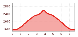
Route length: 7.6 km
Duration: 2:00 h

Trailrun Predigberg - Galtür

Tour information

  • Length: 7.6 km
  • Duration: 2:00 h
  • Elevation uphill:1054 hm
  • Elevation downhill:1049 hm
Highest point 2,628 m

Starting point

Galtür village square

Finishing point

Galtür village square

Best time of year

  • January
  • February
  • March
  • April
  • May
  • June
  • July
  • August
  • September
  • October
  • November
  • December

Description

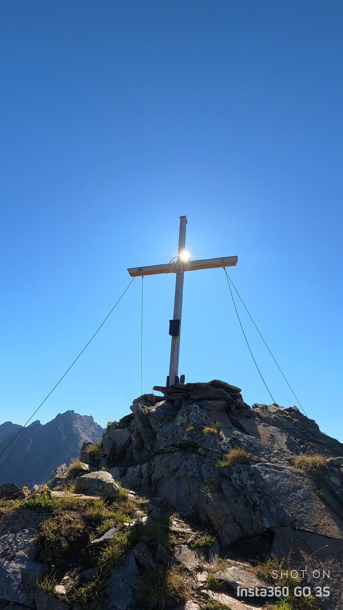
The mountain ridge trail – Galtür is not for the faint-hearted and offers a spectacular route for trail runners with a penchant for high-alpine ridge trails. From the centre of Galtür, the trail leads via Kleinzeinis to Zeinissee lake and on up to Fädnerspitze. The route runs along the ridge over Grieskopf and Grieskogel, where wide panoramas of the mountain landscape open up. The descent from Grieskogel leads over Sonnenkogel back to Galtür.
 

Getting here

Oops, an error occurred! Code: 20250221132240edf72b01
Newsletter

The mountain is calling? So does our newsletter!

In our weekly newsletter we reveal the best holiday tips for Tyrol.

Protected by