Trail running Trailrun Hohes Rad - Galtür

Galtür / Silvretta
Route length: 12.3 km
Duration: 2:30 h

Trailrun Hohes Rad - Galtür

Tour information

  • Length: 12.3 km
  • Duration: 2:30 h
  • Elevation uphill:625 hm
  • Elevation downhill:634 hm
Highest point2,657 m

Starting point

Talstation Diasbahn Kappl

Finishing point

Talstation Diasbahn Kappl

Best time of year

  • January
  • February
  • March
  • April
  • May
  • June
  • July
  • August
  • September
  • October
  • November
  • December

Description

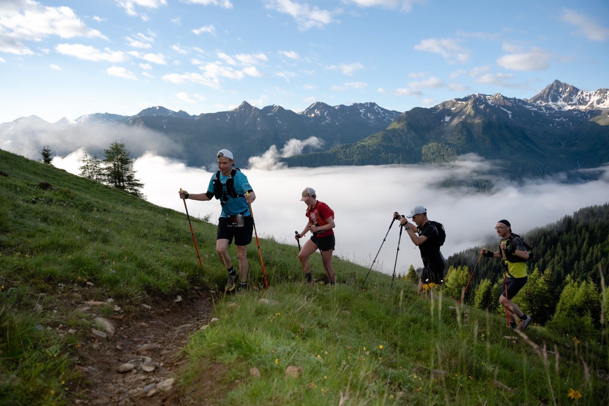
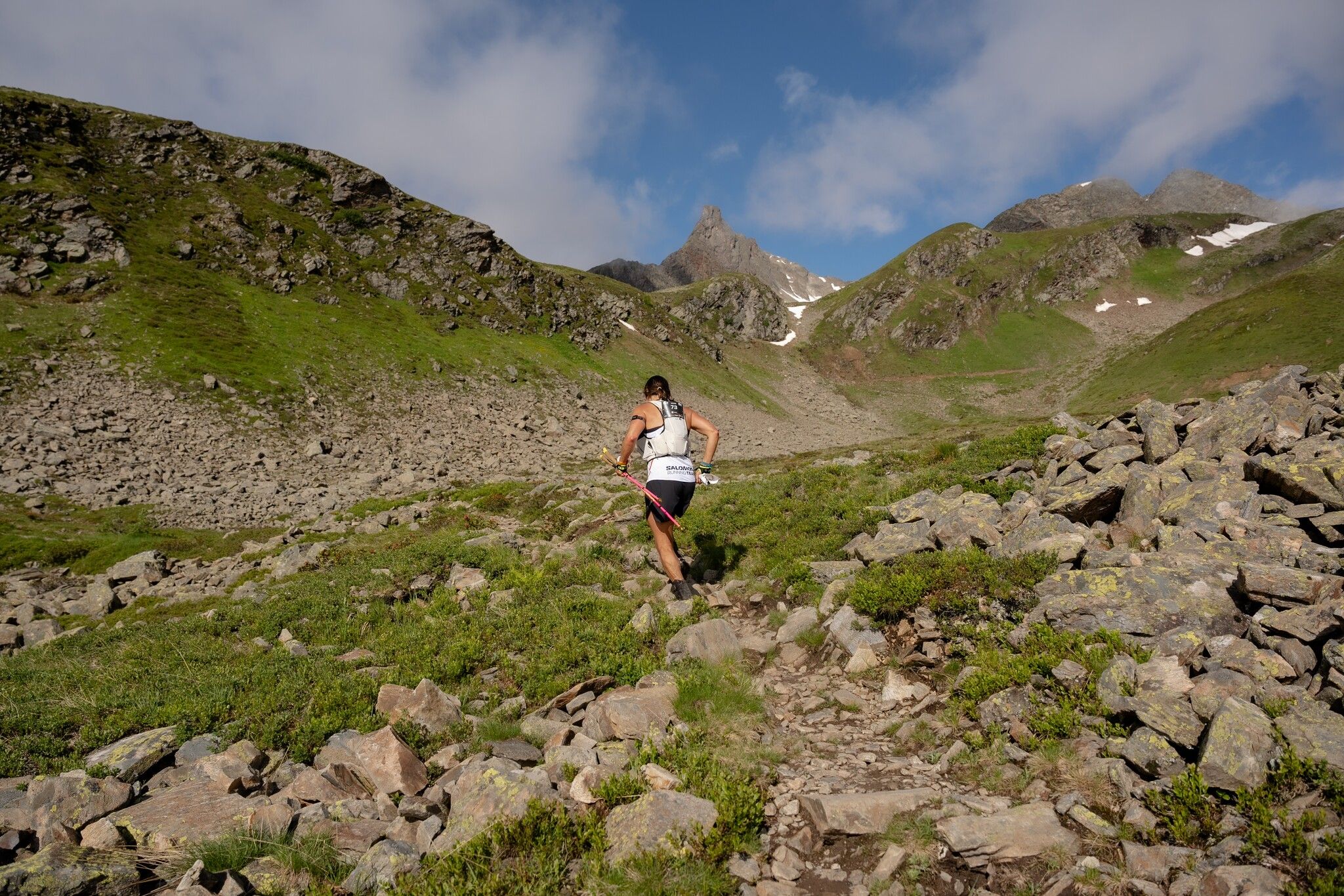
The mountain run to Hohes Rad offers a varied and moderately difficult route in the middle of the Silvretta mountain world. From the Bielerhöhe, the trail leads into the Bieltal valley and past the Radsee lake up to the Radsattel. The descent runs through the impressive Ochsental valley towards the Silvretta Reservoir before the tour leads back to the Bielerhöhe.
 

Getting here

Newsletter

The mountain is calling? So does our newsletter!

In our monthly newsletter we reveal the best holiday tips for Tyrol.