The Panorama Shortcut
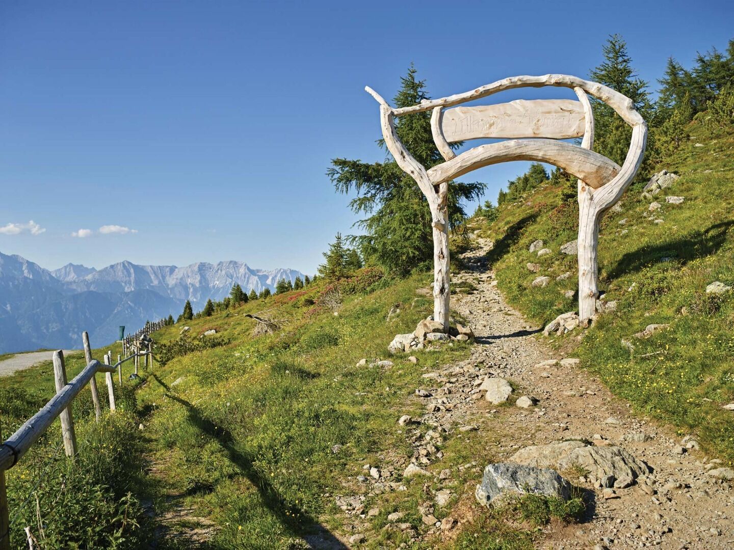
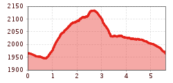
The "Panorama-Shortcut" at Patscherkofel offers a 5.6 km, easy to moderately difficult route with breathtaking views. The run starts at the mountain station and first follows a flat forest path to the beginning of the "Jochleitensteig". From there, the panoramic loop leads back to the starting point. With 185 meters of elevation gain and loss, the entire route stays at around 2,000 meters altitude, providing a unique running experience with stunning vistas. Perfect for those who want to combine trail running with nature enjoyment.
