Rosnerweg run
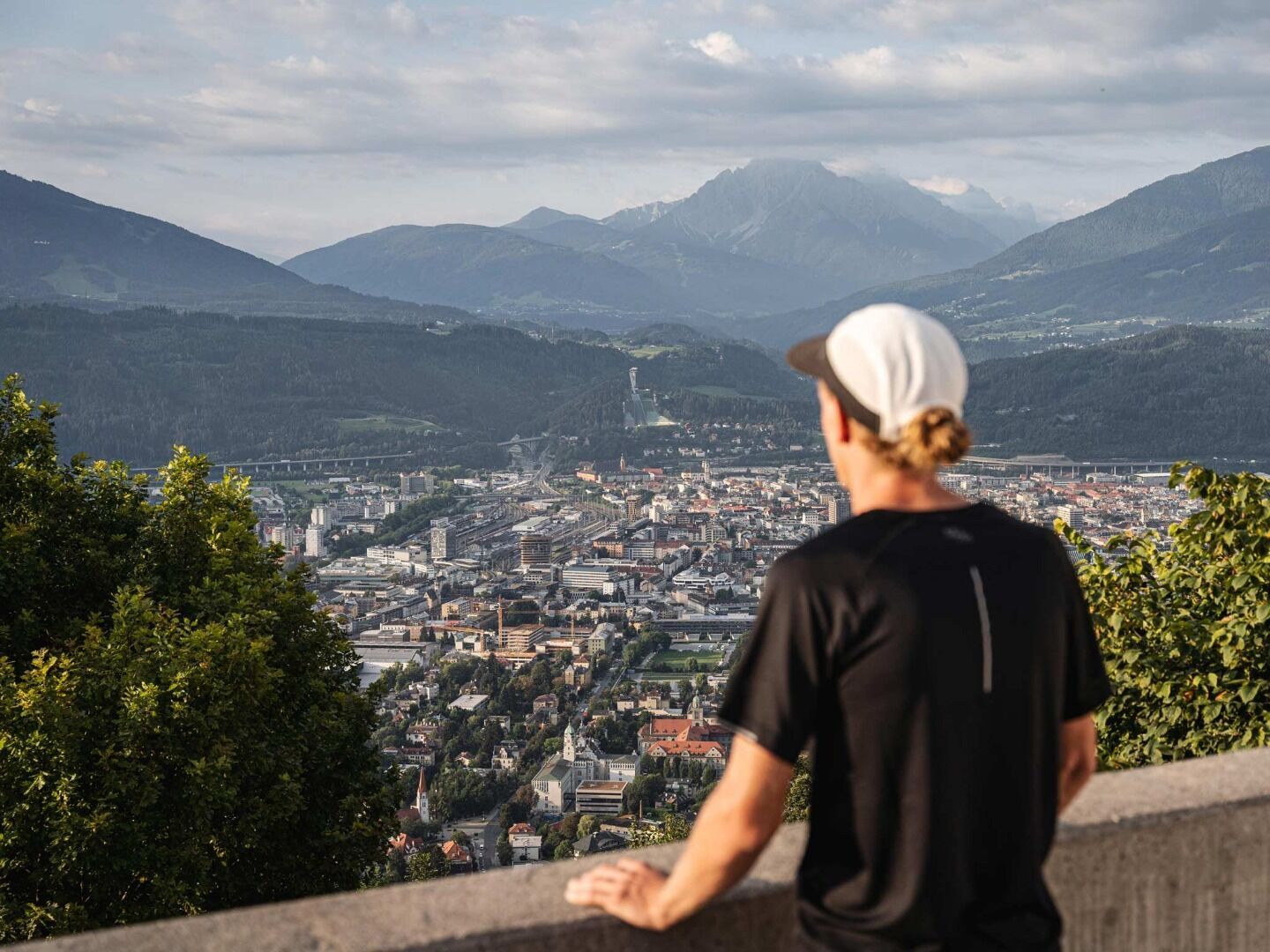
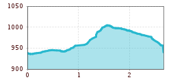
The ideal flat training loop with a short, steep hiking section extends over 2.7 kilometers. Starting at the end of the Forstmeile, the route initially heads south before following a soft, flat forest path westward. Almost parallel to the slope, it crosses the Arzler Alm Trail and reaches the Rosnerweg. After a flat section along the avalanche dam, a short but very steep segment follows. The route then gently descends and flattens out, leading back to the starting point—perfect for a varied yet moderate workout.
