Arrival by public transport
KaiserJet/Postbus stop “Söll Dorf”. More information at: www.wilderkaiser.info
Pure adrenaline is the motto of the Pölven trail on the third day of the Tour de Tirol
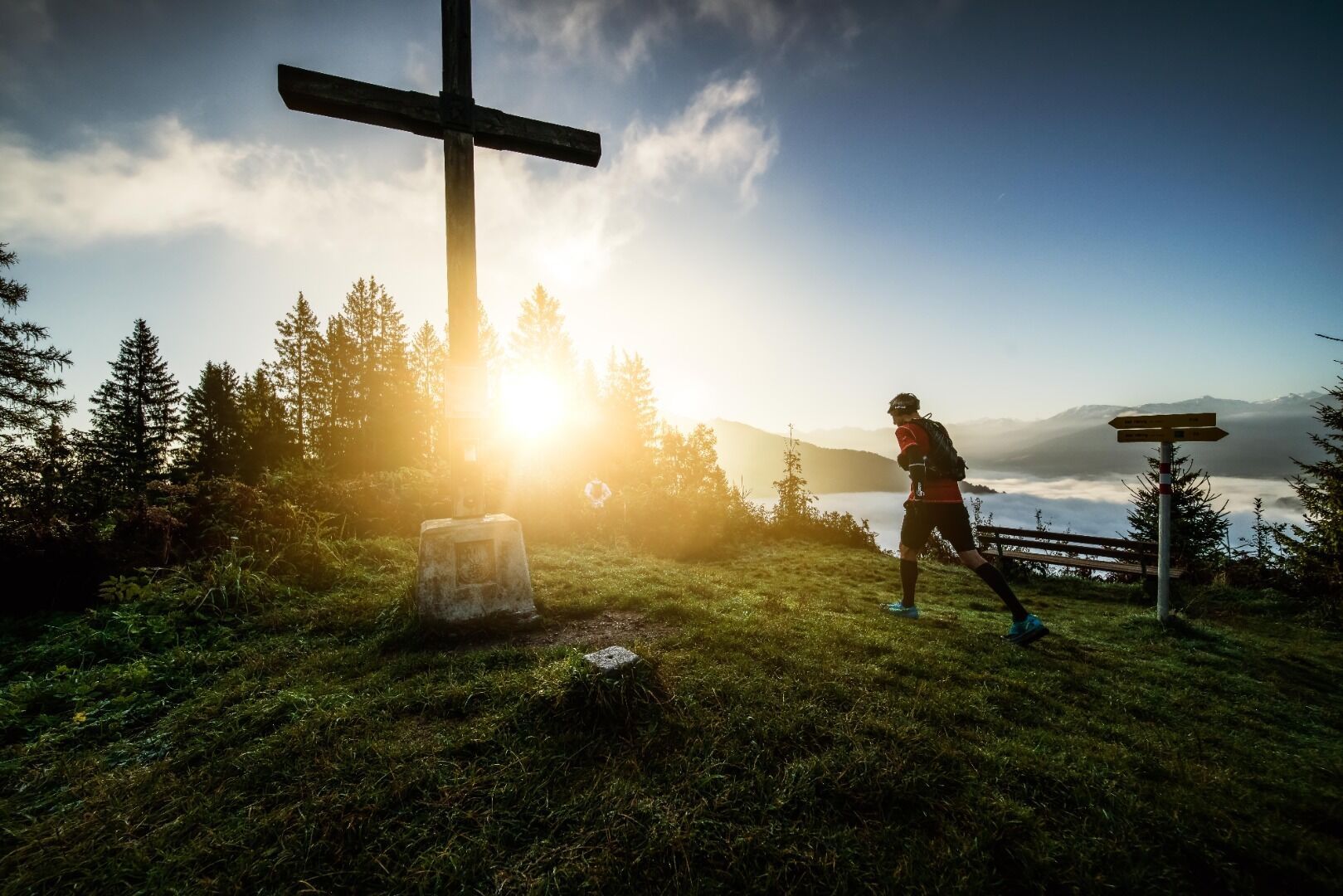
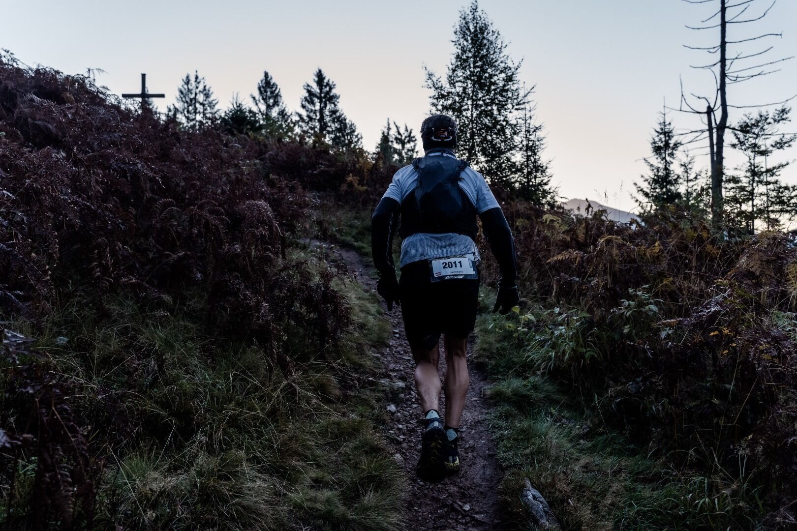
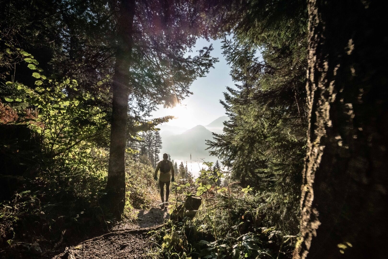
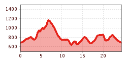
With the Pölven trail (3rd competition of the Tour de Tirol), the route runs from the village centre of Söll via the following distinctive stations. Musikpavillon-Hotel Greil-Oberkoller distillery-Pölvenrundweg circular trail-Schwoich-Bad Häring waterfall-Häring-Brandbodenstrasse-Kirchstrasse-Barbarastrasse-Heimbergstrasse-diagonally across the field to the old Häring ski lift via the Werlberg up to the Juffinger Jöchl-Stallhäusl-Sunnseitweg-just before the Lengauer Kapelle chapel steeply downhill - continue on Sunnseitweg to Oberkoller distillery - back to the village.
KaiserJet/Postbus stop “Söll Dorf”. More information at: www.wilderkaiser.info
West Pölven public car park, Söll (689 m) – free


