Panorama-Runde
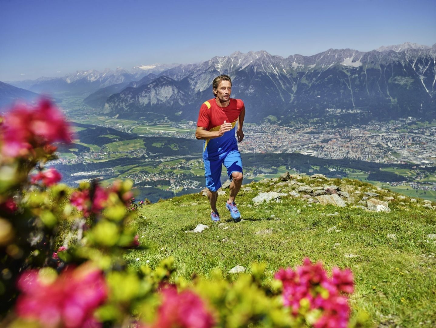
A classic route with a fantastic 5-valley view that is also very suitable for trail running beginners. The route leads around Patscherkofel mountain on the renowned "Zirbenweg“ and “Jochleitensteig".
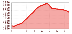
From the start at the Patscherkofel middle station, head west on a wide forest path (gravel) past the Patscher Alm and continue uphill to the Hochmahdalm.
2 hairpin bends after the Hochmahdalm, leave the forest path and turn right onto the Jochleitensteig. The narrow trail first leads over forest soil and then over rock and gravel just along the tree line. On the south side of the Patscherkofel, the trail leads to the Boscheben Alpine Inn. From there you follow the well-known Zirbenweg on gravel and rock back to the mountain station of the Patscherkofel cable car.
If you don't want to run uphill at the beginning of the loop, take the Patscherkofel cable car to the mountain station and from there run along the flat forest path following the "Panorama-Shortcut" signs to the start of the Jochleitensteig.
