Trail running KAT100 Miles

Fieberbrunn / Kitzbüheler Alpen
Difficulty ratings: difficult
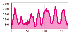
Route length: 173.2 km

KAT100 Miles

Tour information

  • Requirement: difficult
  • Length: 173.2 km
  • Elevation uphill:9,929 hm
  • Elevation downhill:9,929 hm
Highest point2,175 m

Starting point

village centre Fieberbrunn

Finishing point

village centre Fieberbrunn
  • Fitness level 6 / 6
  • Technique 6 / 6

Best time of year

  • January
  • February
  • March
  • April
  • May
  • June
  • July
  • August
  • September
  • October
  • November
  • December

Trail condition

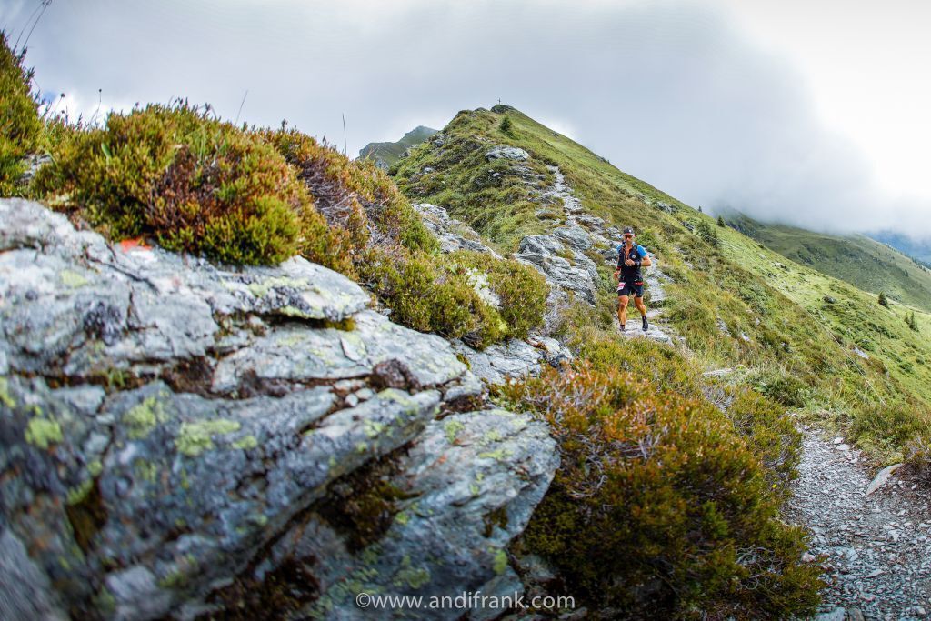
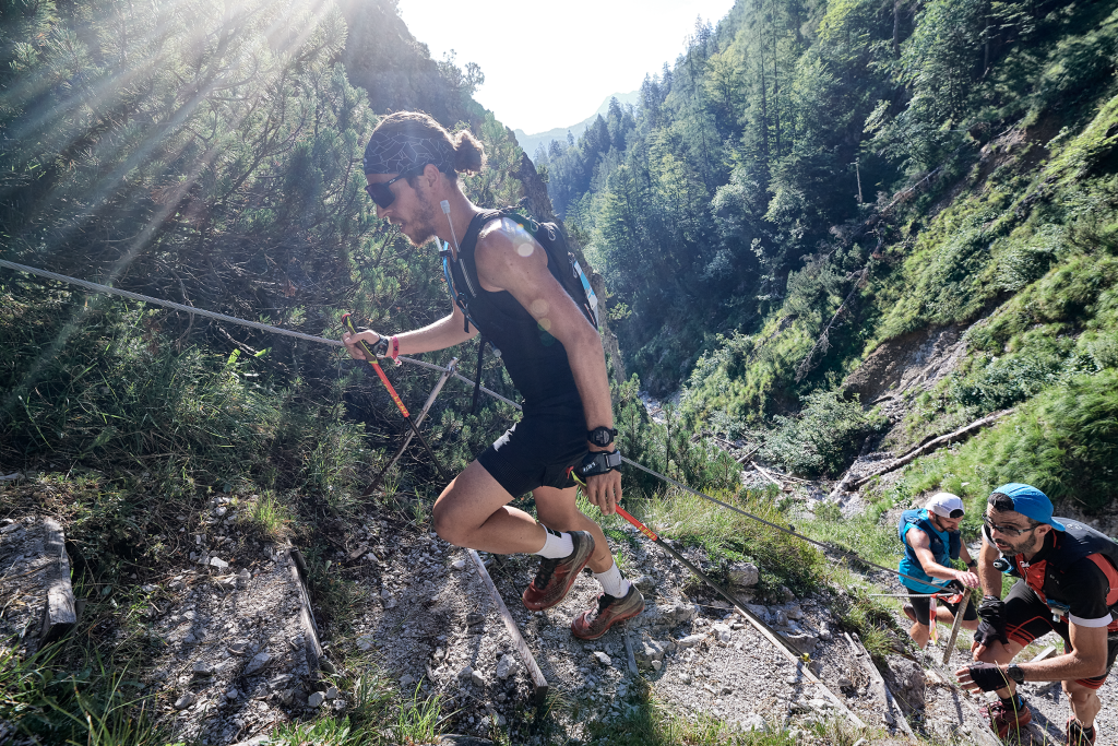
Asphalt, gravel, forest trails, meadows, rocks

Equipment

Trail running shoes or sturdy footwear; water / energy drink; food / gels / bars; first aid kit / emergency blanket; mobile phone; wind / rain jacket; bonnet / gloves (if required); headlamp (if required).

Description

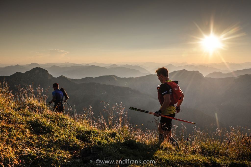
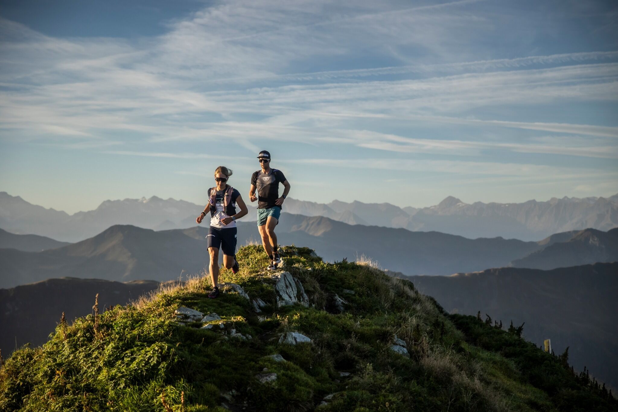
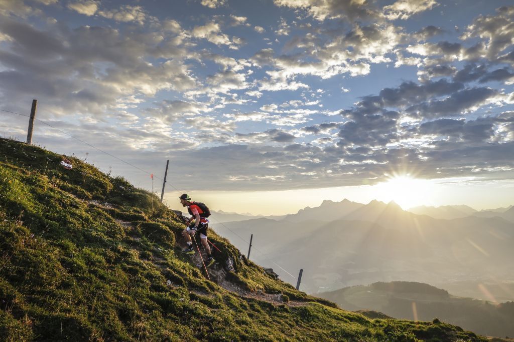
Austrias longest Ultra-Trail. 173,2 km / 9.929m+  elevation gain
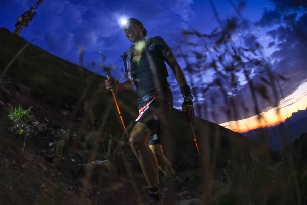
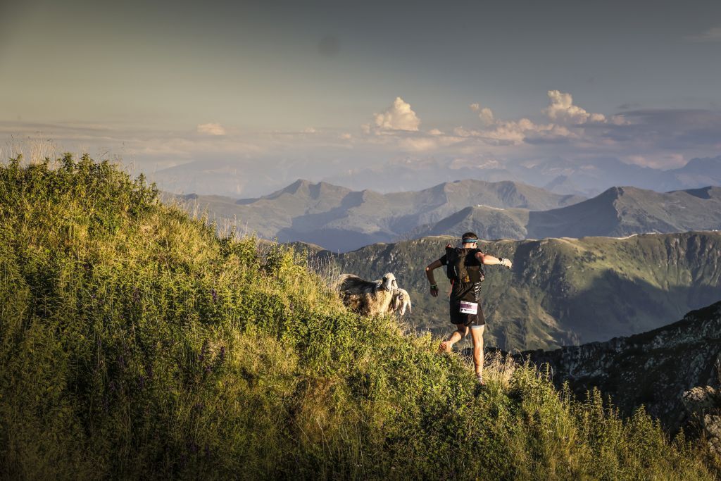
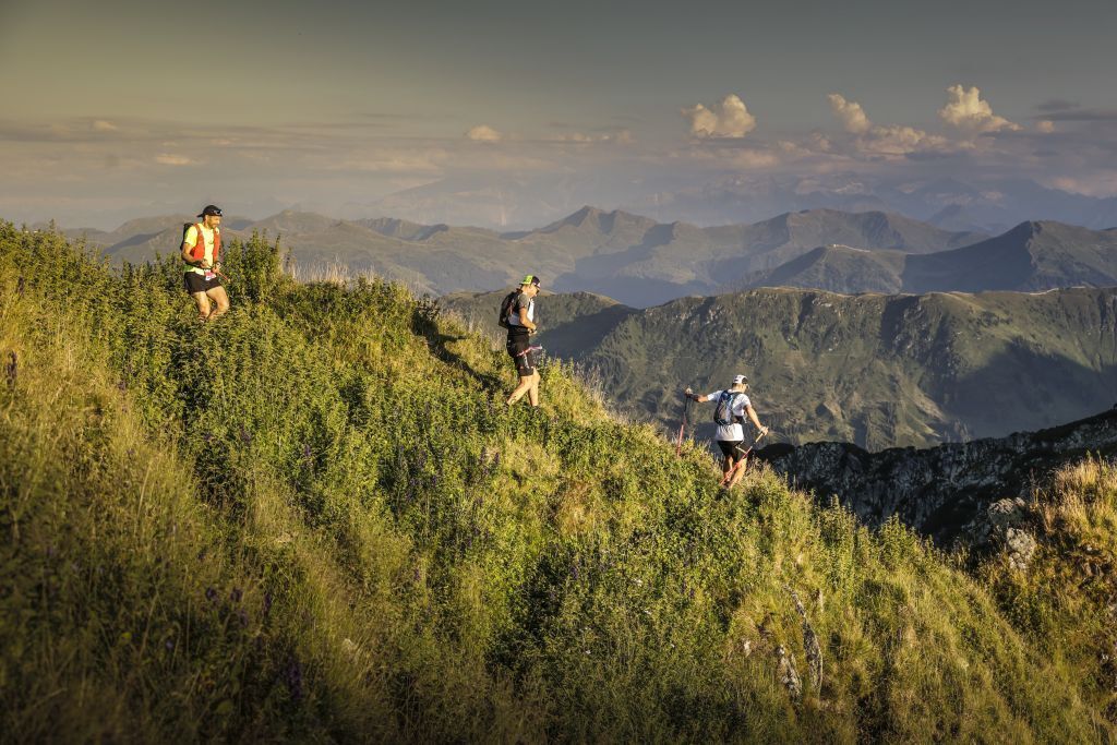
The 100 Miels are the ultimate trail run in the Kitzbüheler Alps. In a team (Ekiden) or by themselves: in addition to perfect conditions and an icredible backdrop, athletes can expect a perfectly organised race
.
Conceptualised, conceived and carried out as the ultimate trail run by Thomas Bosnjak, the 100 Miles lead across the most scenic and challenging peaks of the Kitzbüheler Alps. It is a tribute to the passion for running and for nature. 

Getting here

  • Arrival by public transport

    By bus: free bus service from Ellmau / Kitzbühel / St. Johann i.T. / Lofer and within the PillerseeTal region. Bus stop Fieberbrunn centre. Free of charge with guest card. 
    By train: free train connection from Wörgl to Hochfilzen (regional trains) with guest card. Fieberbrunn train station. Walking time to bus stop Fieberbrunn Rosenegg Steig B direction centre approx. 10 min.
More tours in the surrounding area

Newsletter

The mountain is calling? So does our newsletter!

In our monthly newsletter we reveal the best holiday tips for Tyrol.