
Opening hours:Today closed
Place:Scharnitz
:Alpine pasture / hut / mountain restaurant
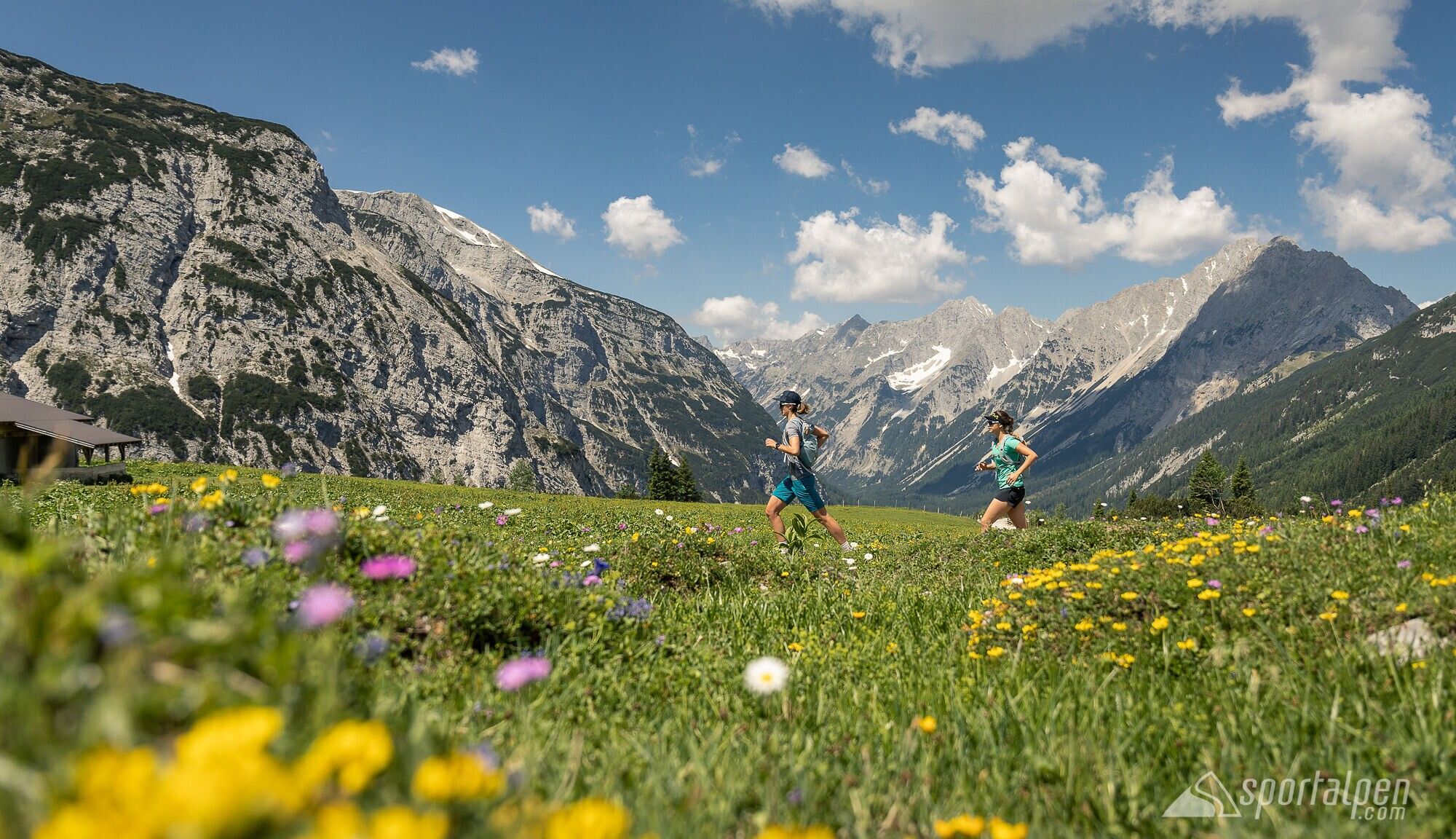
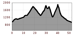
The Karwendelmarsch starts in Scharnitz (964 m) and leads you through the Karwendel Valley, over the Kleiner Ahornboden, and finishes in Pertisau after 52 challenging kilometers.
The Karwendelmarsch starts in Scharnitz (964 m) and leads you through the Karwendel Valley, over the Kleiner Ahornboden, and finishes in Pertisau after 52 challenging kilometers.
The Karwendel Run passes through the following checkpoints or refreshment stations:
- Schafstallboden (1,173 m)
- Karwendelhaus (1,771 m)
- Kleiner Ahornboden (1,399 m)
- Falkenhütte (1,848 m)
- Eng (1,227 m) - 35 km AIM
- Binsalm (1,502 m)
- Gramai Hochleger (1,756 m)
- Gramaialm (1,263 m) and
- Falzturn Alm (1.098 m)
- until Pertisau at Achensee (932 m) - 52.9 km destination
The indicated running time is a guideline and depends on personal fitness.
Participants can park their car either near the start in Scharnitz or near the finish in Pertisau. Both car parks are free of charge and are available on the day of the event.
