Arrival by public transport
Take public transport to Seefeld Railway Station.
All real-time connections can be found in the route planner.
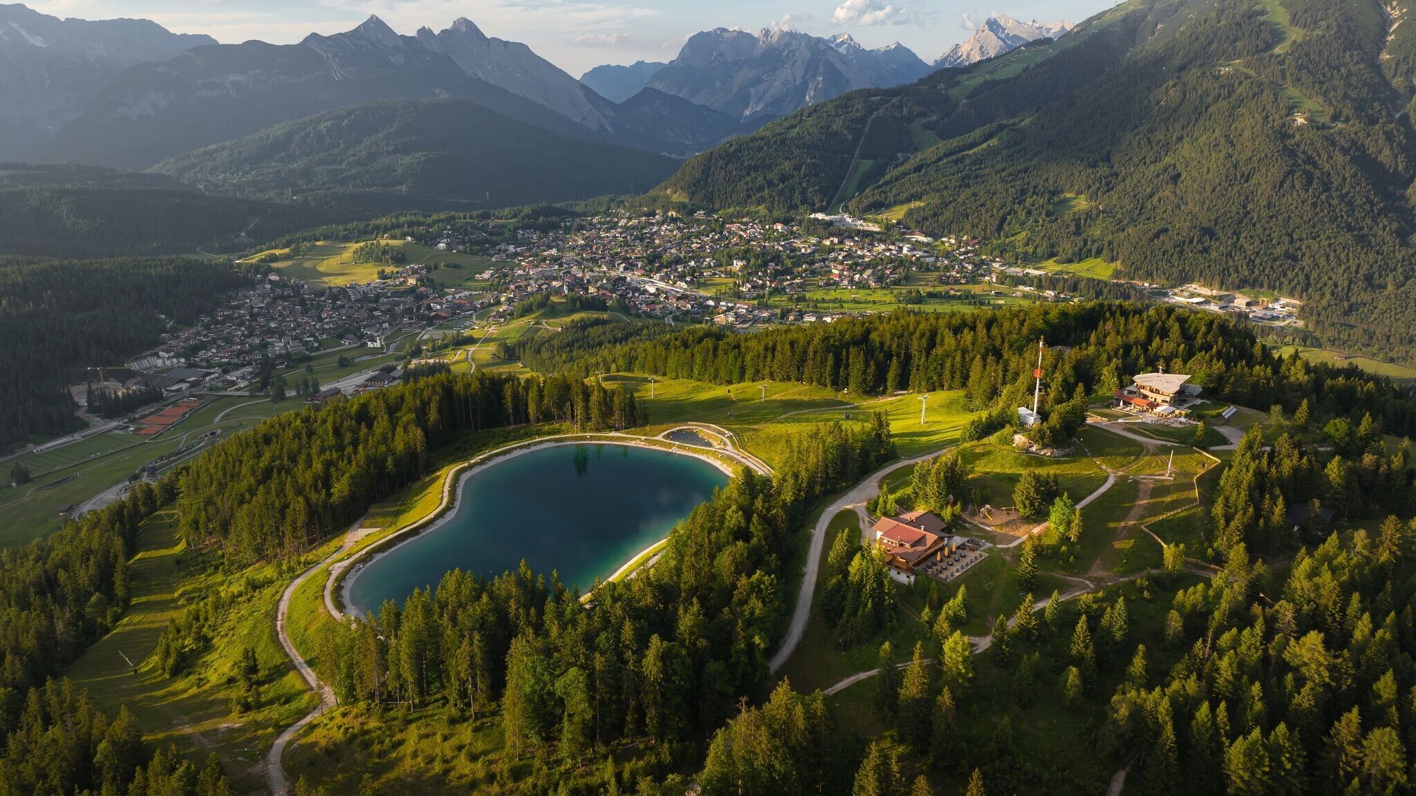
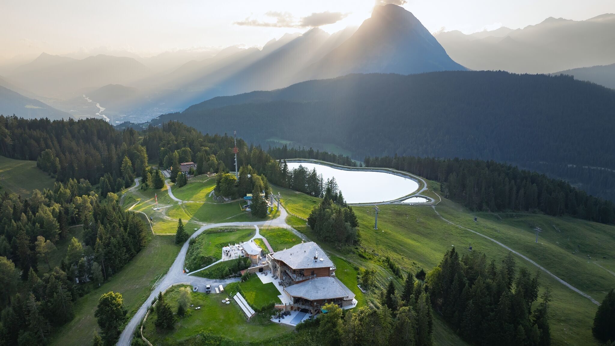
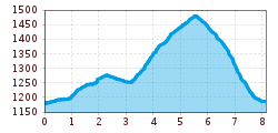
Easy trail running loop from Seefeld over the Gschwandtkopf (1,486 m) with 430 meters of elevation gain and panoramic views of the surrounding mountain scenery.
Attention: The access road to Gschwandtkopf from Reith is closed for one week due to forestry work.
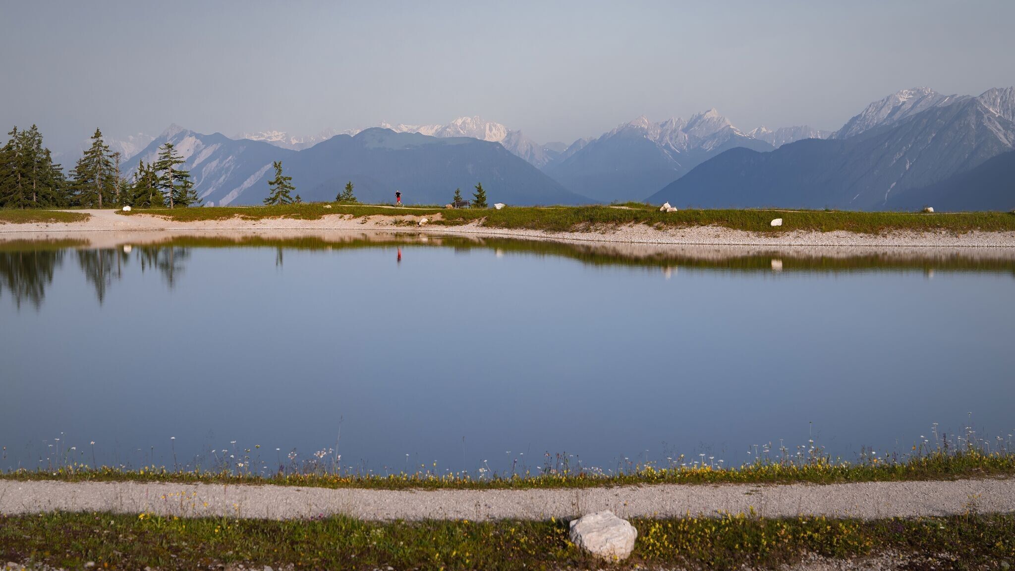
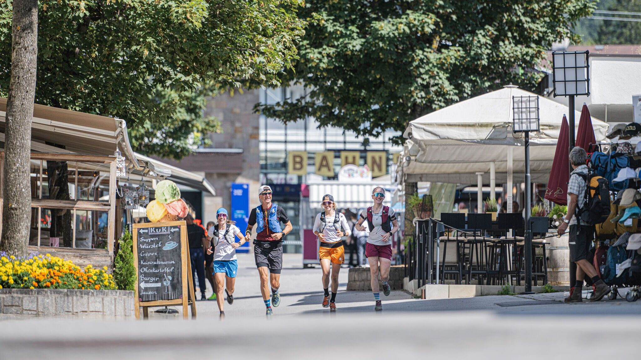
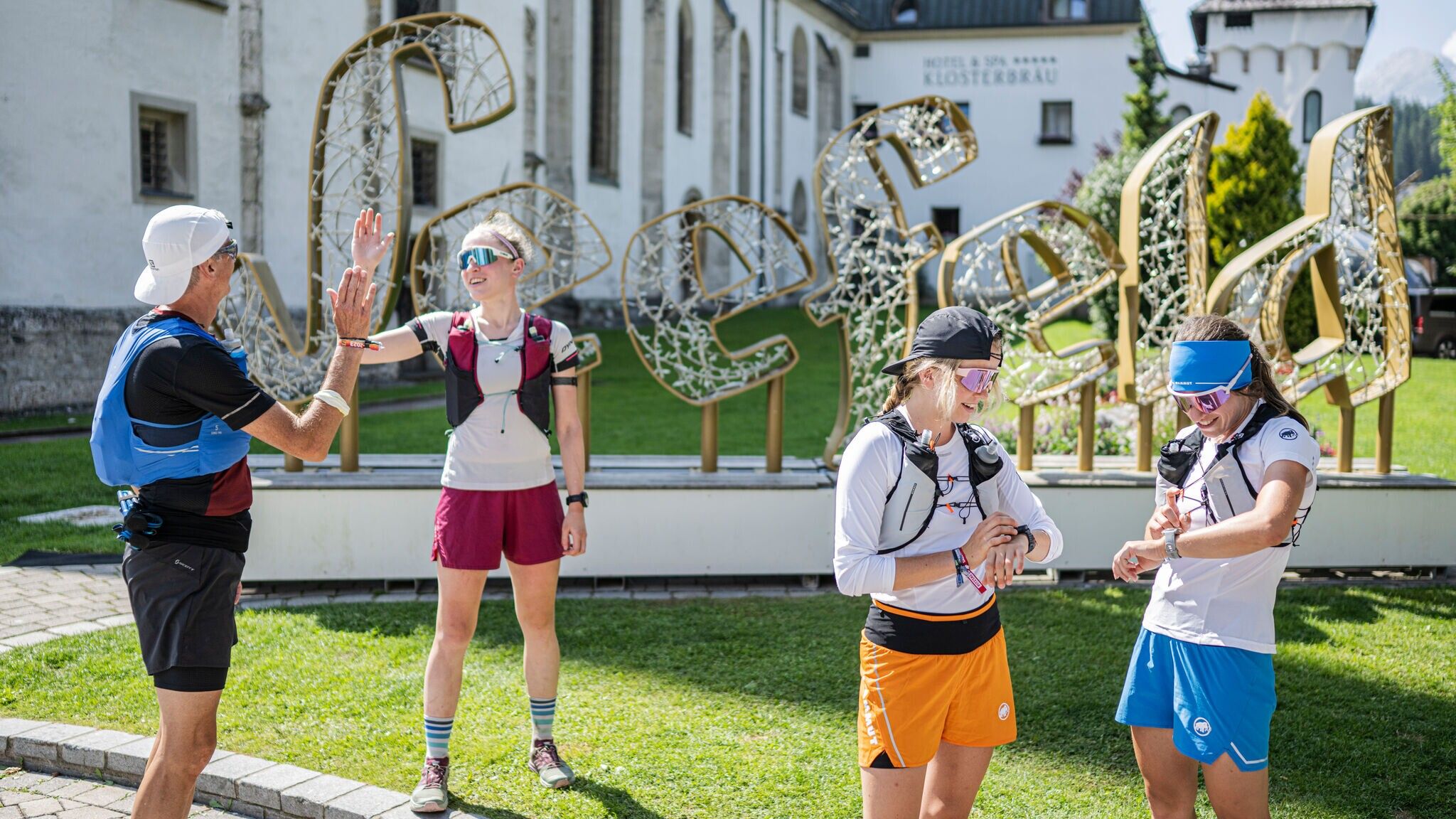
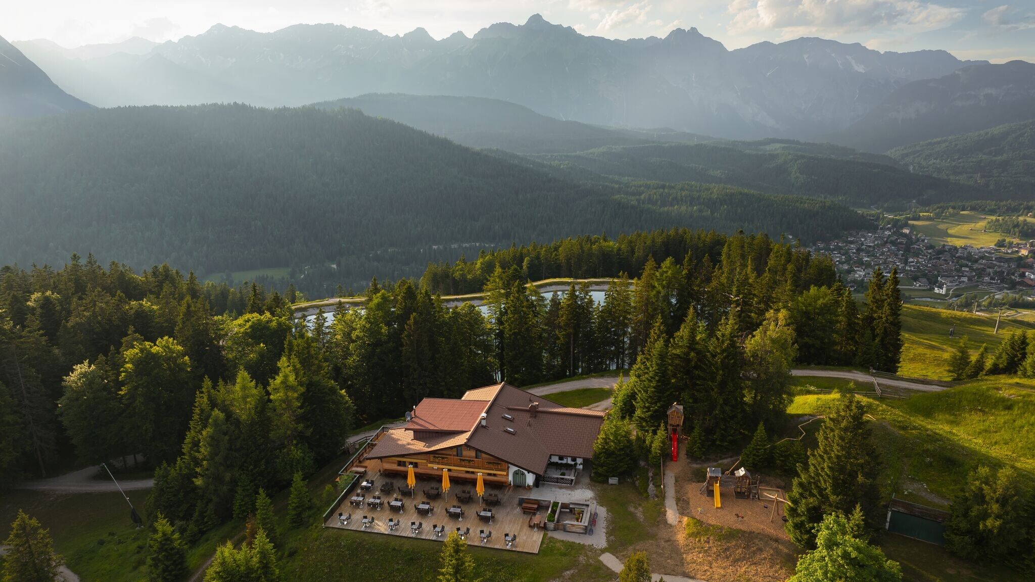
The route starts at Seefeld train station, leading first to the village square and then towards Wildsee. After turning off from the L14 main road, the trail heads right onto a forest path that climbs up to Gschwandtkopf and the reservoir lake. At the top, you'll find the Sonnenalm, a great place to take a break.
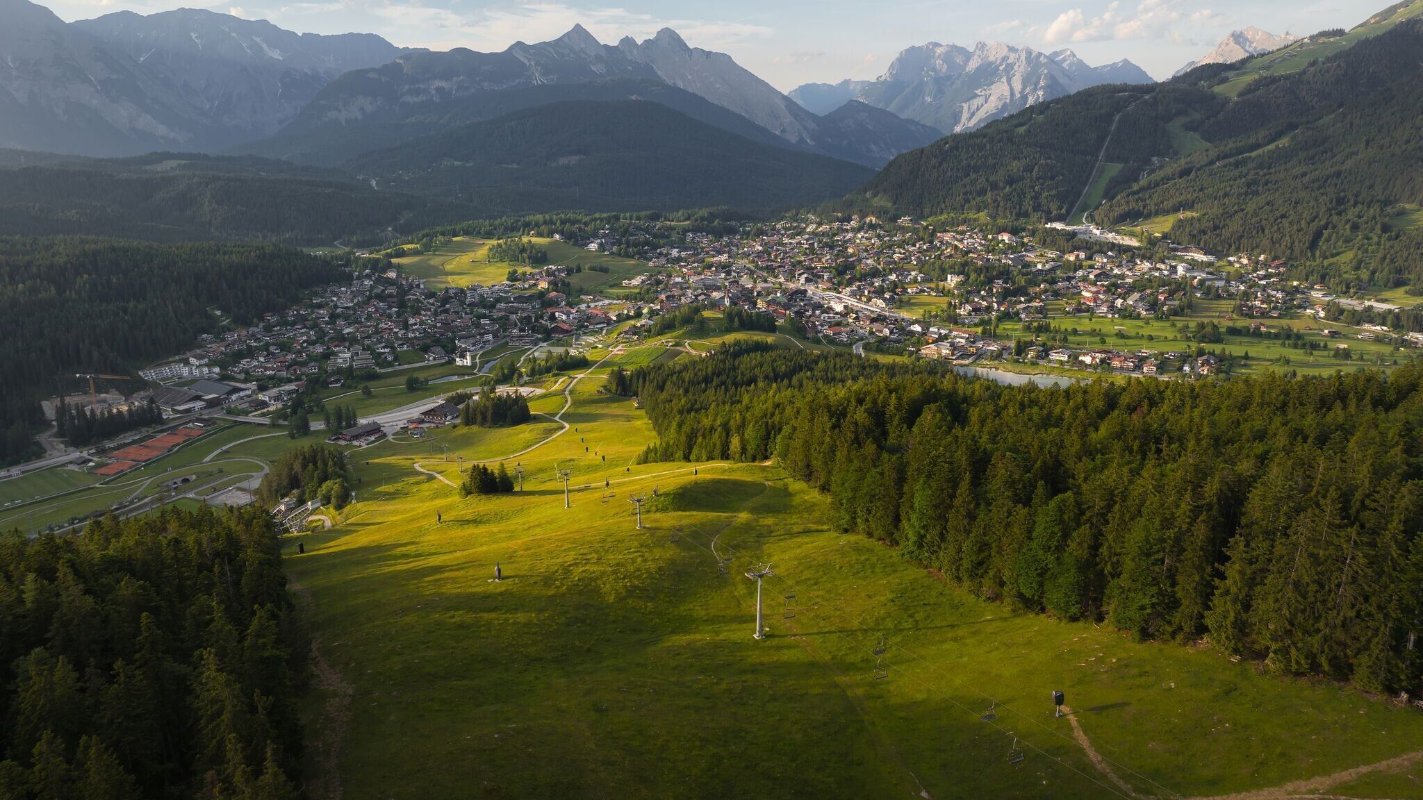
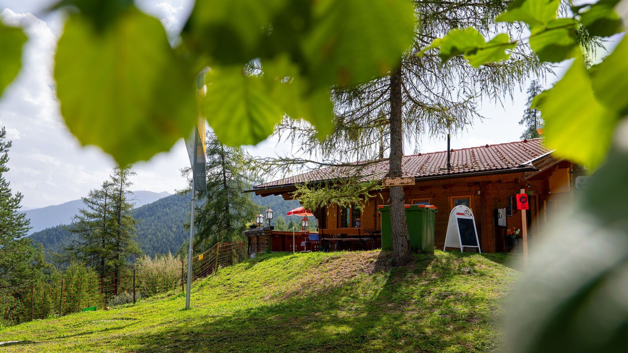
The way back follows the forest trail downhill. Passing by the Enzianhütte, the road continues above Auland before briefly merging into another forest path, which eventually leads back to Seefeld
The indicated running time is just a guideline and depends on your personal fitness level.
Take public transport to Seefeld Railway Station.
All real-time connections can be found in the route planner.
