Arrival by public transport
Take the bus from Seefeld, Telfs or Mittenwald to the "Weidach Alpenbad/Brücke" stop.
All real-time connections can be found in the route planner.
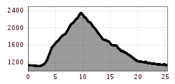
Challenging Trailrun Route from Leutasch to Gehrenspitze (2,367 m), through the pristine Puittal in the Wetterstein Mountains, with impressive views of the Leutasch Valley, Karwendel Mountains, Hohe Munde, and surrounding peaks.


The starting point of this challenging trail run is parking lot P23 at Alpenbad Leutasch. From here, you initially cross the Weidach Bridge, then follow the Lehnerberg Runsen Way through the hamlets Gasse and Lehner.
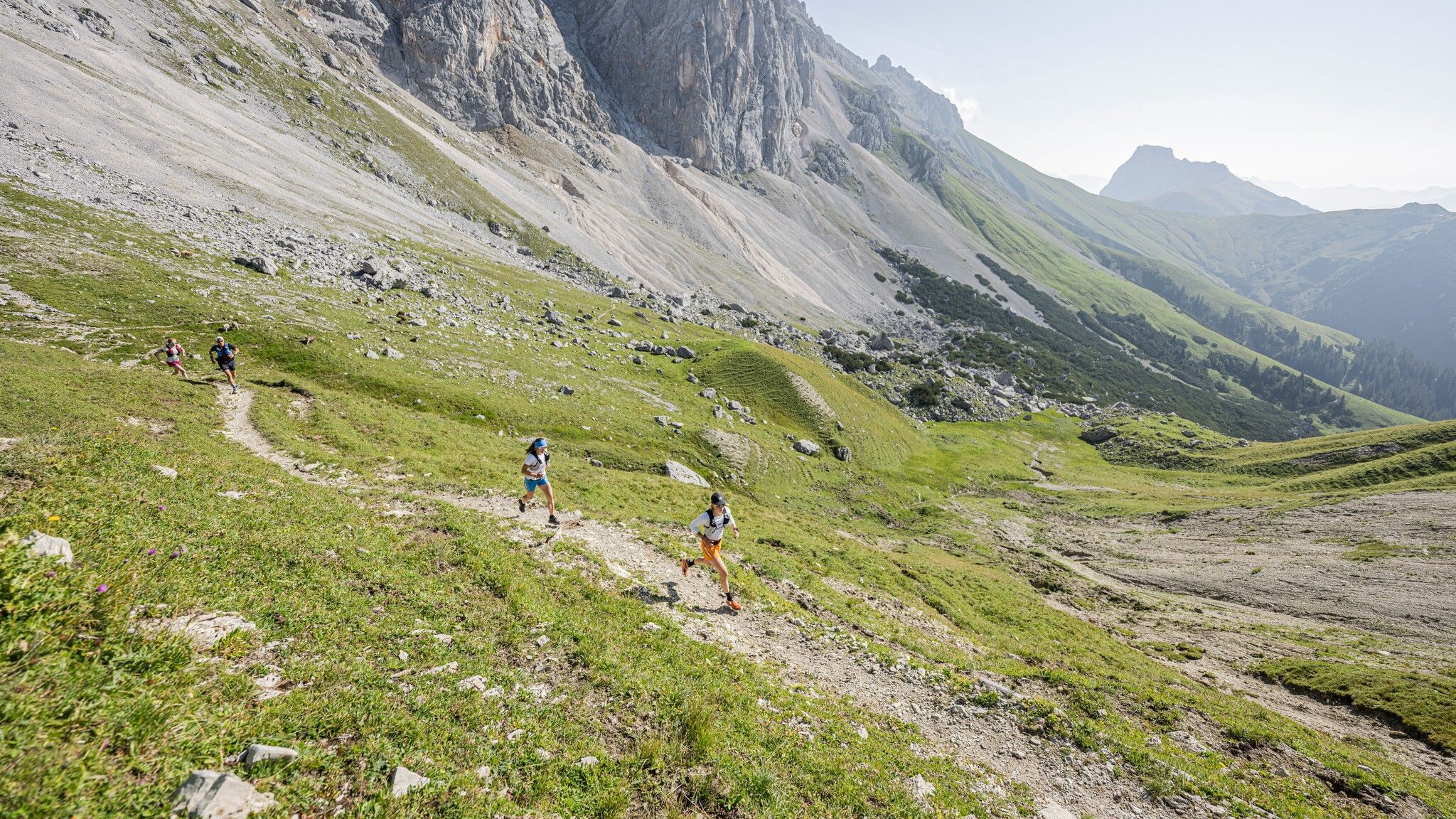
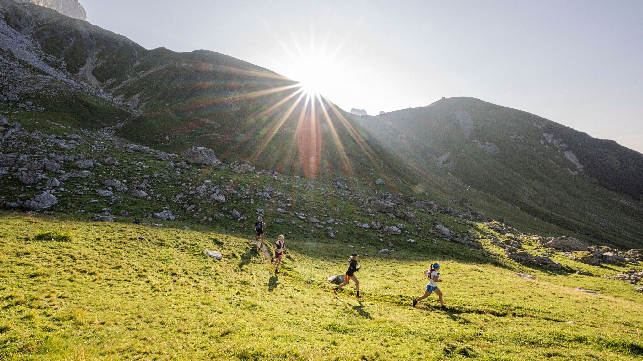
Follow the signs to Puitegg and on into the Puittal. This secluded valley captivates with its untouched nature and fantastic views of the surrounding peaks. Beneath the imposing towers of Öfelekopf, Leutascher Dreitorspitze, and Gehrenspitze, the trail steadily climbs through lush alpine meadows. The variety of mountain herbs is impressive, and with a bit of luck, you might spot chamois or marmots.
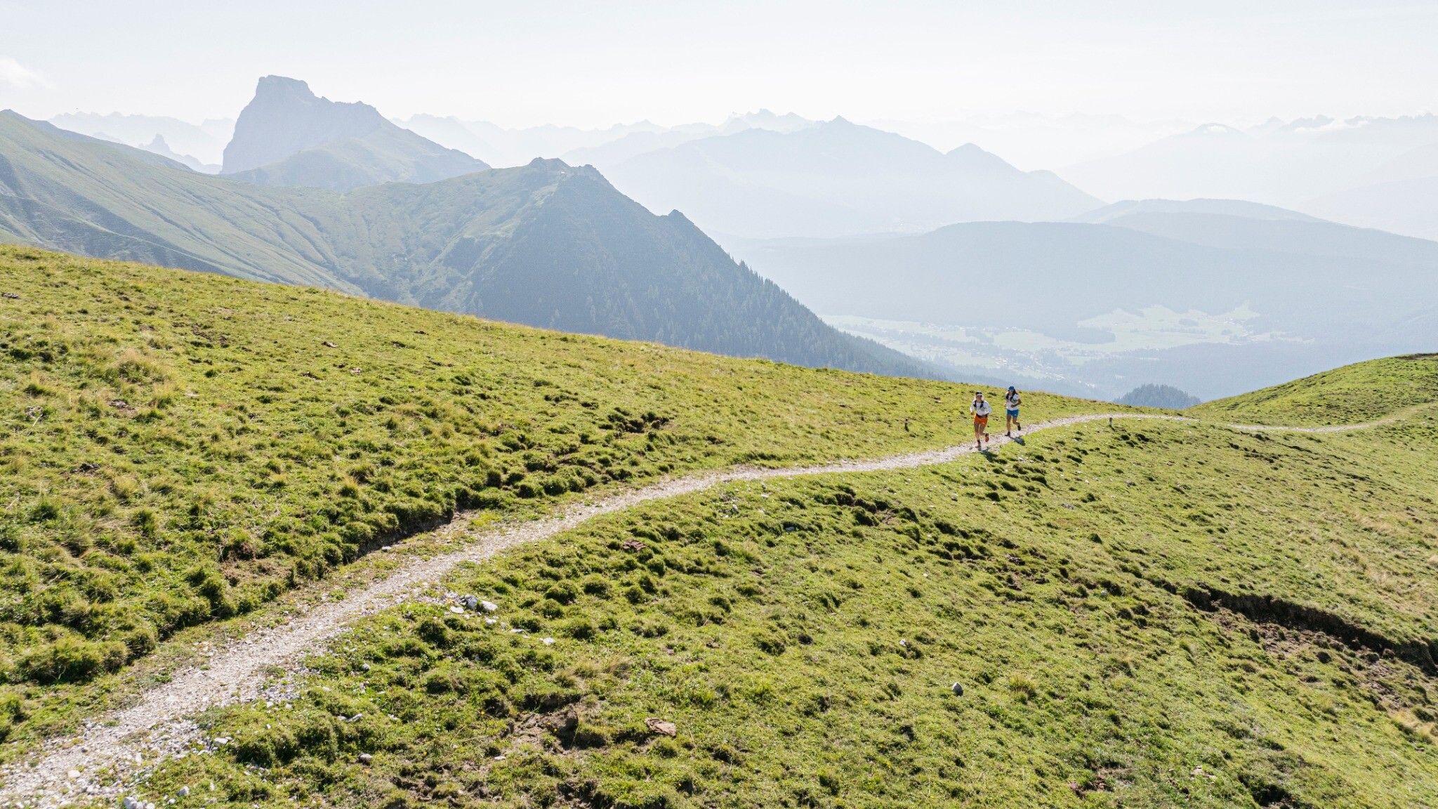
The first steep elevation gains test your strength, but the climb is rewarding: after about three hours, you reach Scharnitzjoch (2,048 m). From there, an awe-inspiring view of Gaistal unfolds, with Wangalm and Wettersteinhütte already in sight.
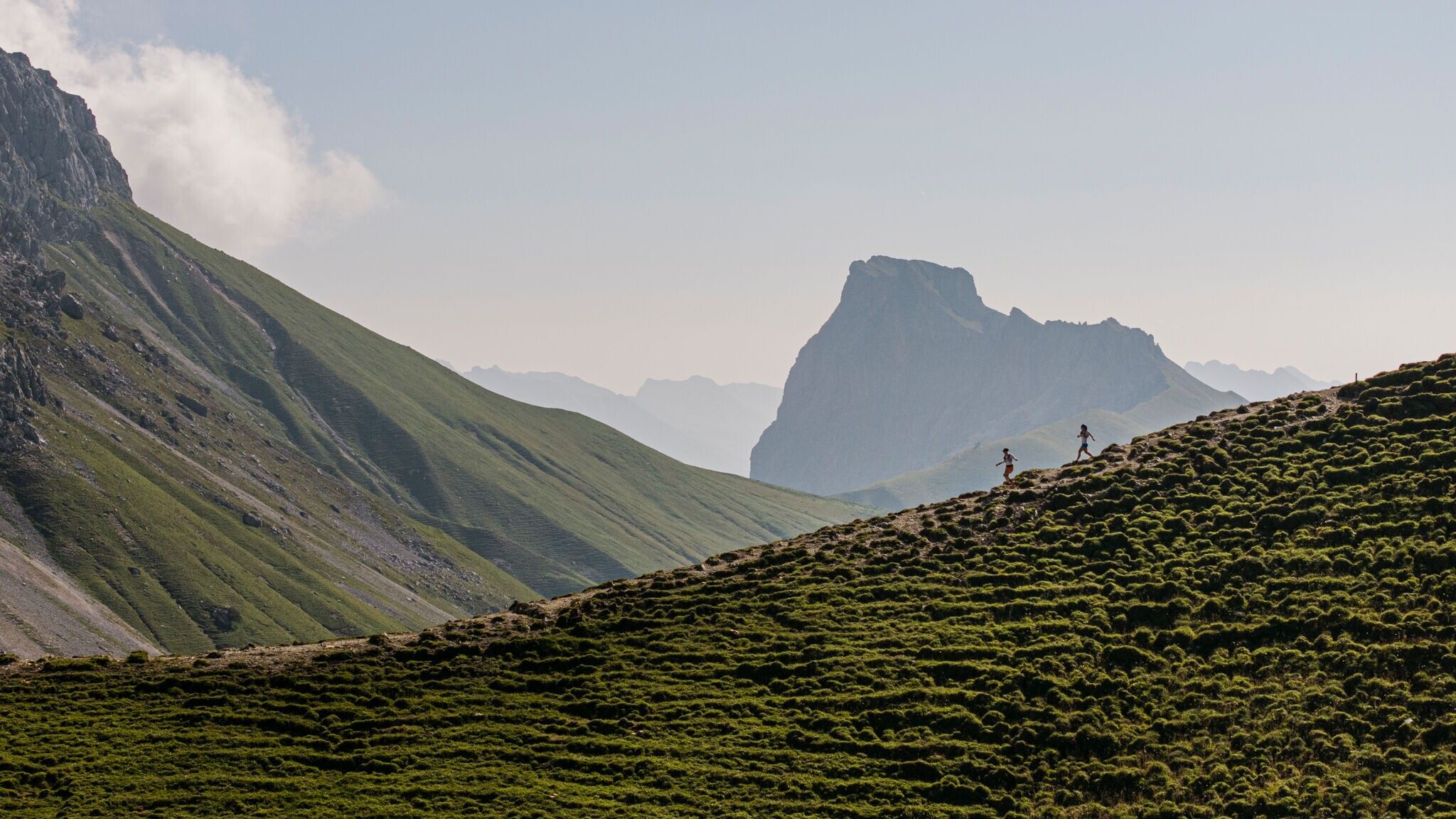
The route then continues past the small, unstaffed Erinnerungshütte towards Gehrenspitze. The trail becomes increasingly narrow and exposed — sure-footedness and a head for heights are essential. Those who reach the summit (2,340 m) are rewarded with a spectacular 360° panorama: Leutaschtal, the Karwendel range, and the Hohe Munde stretch out before you.
The descent leads over Wangalm and Wettersteinhütte to Hämmermoosalm. Afterwards, the route follows the Achweg via the hamlets Klamm, Plaik, Platzl, Aue, and Weidach back to Alpenbad Leutasch. For those who prefer, a bus can shorten the return journey.
The indicated running time is a guideline and depends on personal fitness.
Take the bus from Seefeld, Telfs or Mittenwald to the "Weidach Alpenbad/Brücke" stop.
All real-time connections can be found in the route planner.
