.jpg")
Opening hours:
open
Difficulty:
medium
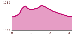
Length:
14.2 km
Duration:
3:30 h
Elevation uphill:
140 m
Easy tour from the football field along the Leutascher Ache via Kirchplatzl
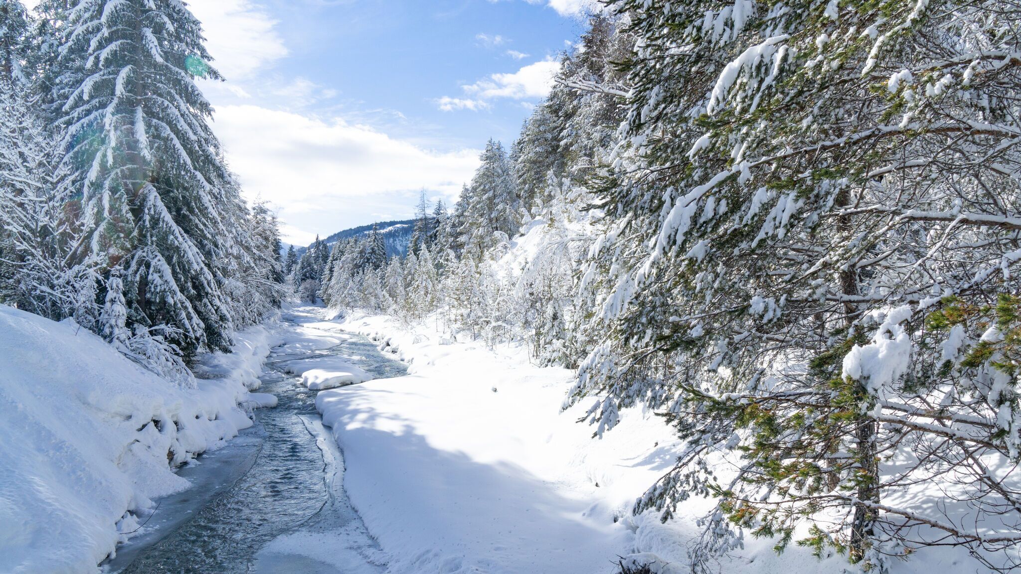
Route: Football field Leutasch - Leutascher Ache - Kirchplatzl - Football field Leutasch
Directions:
From the football field in Leutasch, cross the bridge and turn right, and head against the direction of flow of the Leutascher Ache as far as the L35 country road. Follow the trail that branches off to the left of the main road towards Kirchplatzl. Above this part of the village, the trail leads to the sports field, and after a few metres you reach the starting point. This loop can also be combined with the wintertrail - Leutascher Ache (Ahrn).

.jpg")


.jpg")


 Olympiaregion Seefeld")


.jpg")


