.jpg")
Opening hours:
open
Difficulty:
medium
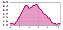
Length:
14.2 km
Duration:
3:30 h
Elevation uphill:
140 m
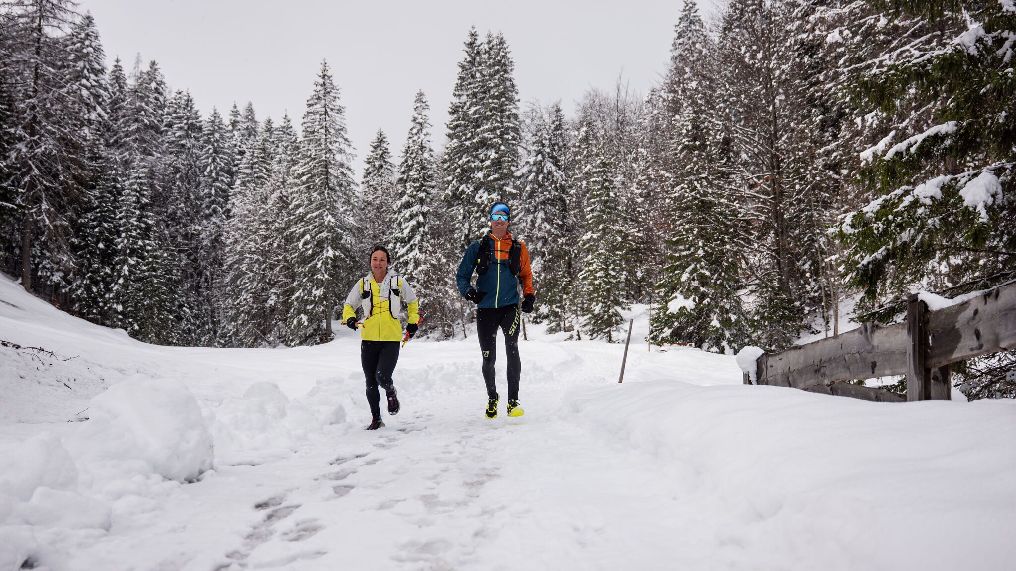
Medium-difficulty tour from the Leutasch sports ground to the Katzenkopf.
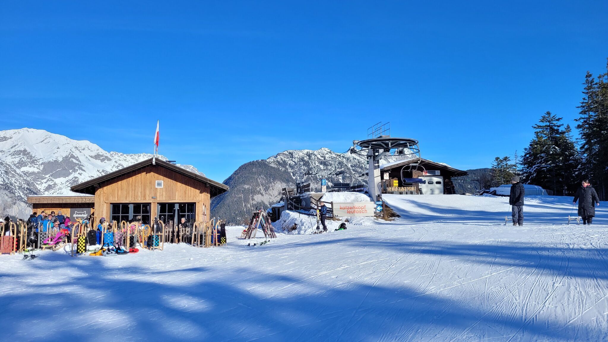
Route: Football field Leutasch - Weidach - Leutascher Hof - Katzenkopf hut - Fludertal - Football field Leutasch
Directions:
Starting from the Football field Leutasch, the trail follows the W9 winter hiking trail into the village centre of Leutasch. About 50 metres before the Biohotel Leutascher Hof, turn right towards the Katzenkopfhütte. On the way back, turn right shortly after the Katzenkopfhütte, where you are partly on the cross-country ski trail - it is recommended to walk along the edge. The trail then follows the W21 winter hiking trail into Fludertal, which leads to Leutascher Straße. Turn left there and walk back to the village centre and the starting point.

.jpg")


.jpg")


 Olympiaregion Seefeld")


.jpg")


