.jpg")
Opening hours:
open
Difficulty:
medium
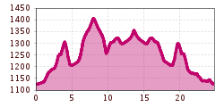
Length:
14.2 km
Duration:
3:30 h
Elevation uphill:
140 m
Difficult tour from the Leutasch sports ground into the Gaistal valley along the Leutascher Ache river.
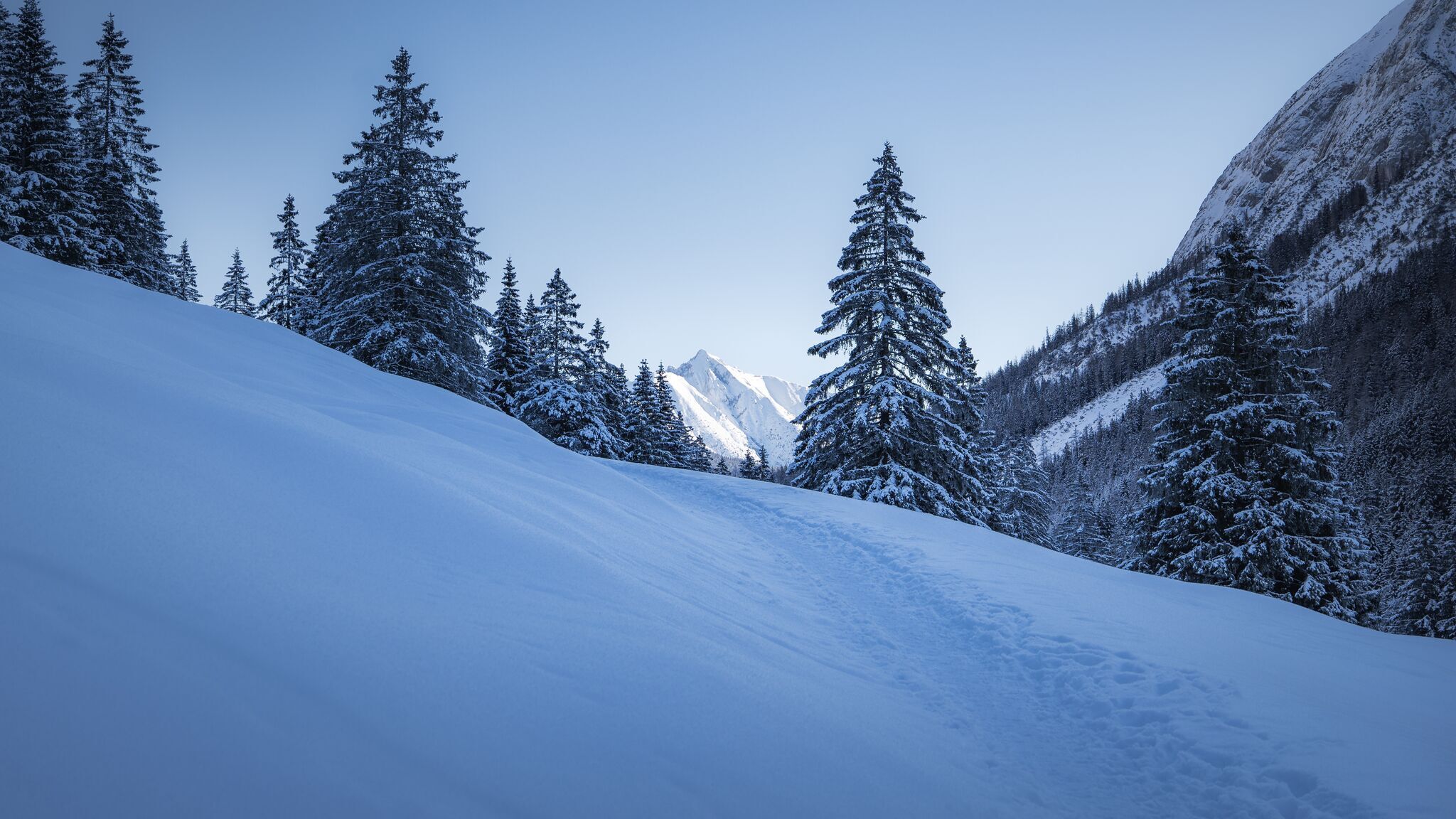
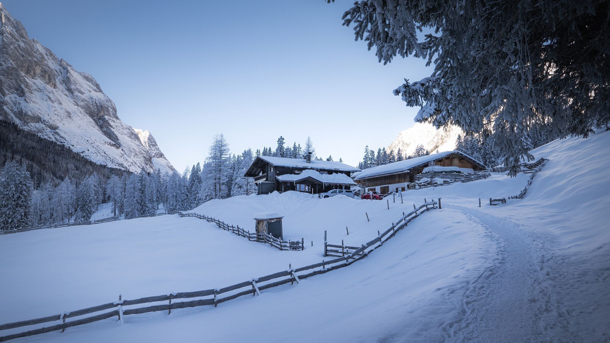
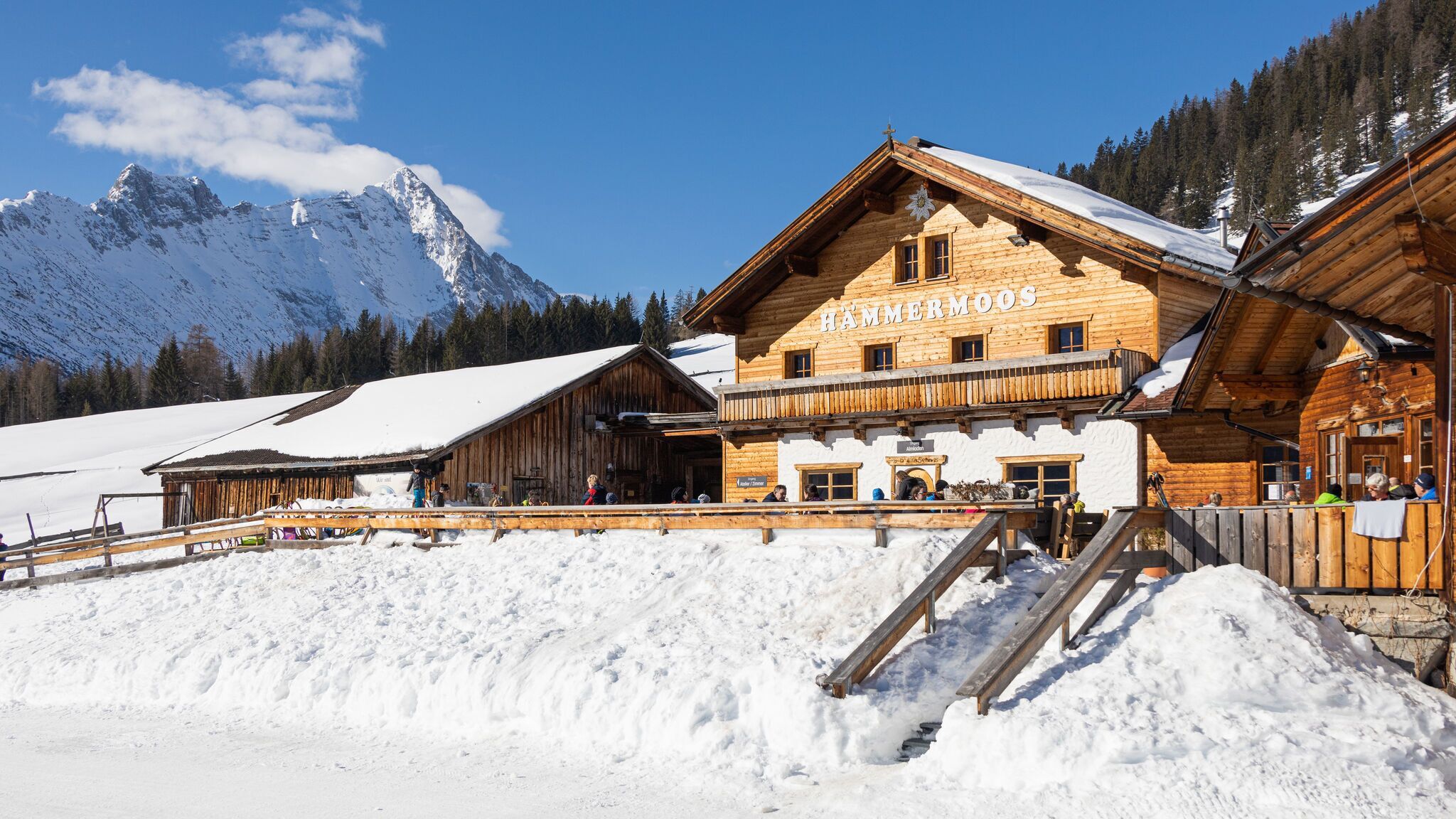
Route: Football field Leutasch - Klamm- Stupfer car park - Gaistal - Hämmermoosalm - Gaistalalm - Gaistal - Football field Leutasch
Directions:
From the football field Leutasch, follow winter hiking trail 17 on the left to the Klamm district. Then follow stage trail 3 to the crossroads in the direction of Wettersteinhütte. Keep left there and walk down to the Stupfer car park. From there, cross the Leutascher Ache and walk into the Gaistal valley, upstream to the Gaistal car park, where winter hiking trails W12 and W11 begin. Follow winter hiking trail 11 in the direction of Hämmermoosalm and return along the same route to the junction with trail W12. Turn right there and follow winter hiking trail W12 to the Gaistalalm. Return along the same route to the Klamm district. From there, follow the W17, cross the Ache again and walk back to the starting point.

.jpg")


.jpg")


 Olympiaregion Seefeld")


.jpg")


