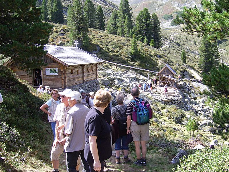
DescriptionThis hike leads past the ruins of the Oberer Issalm mountain hut, through the romantic wilderness of the Wörge Valley and up to Wetterkreuzkogel peak.
The Sellrain Valley Mountain Hut Tour: stage 7Difficulty: difficult Length: 24.7 km Duration: 9:00 h Elevation uphill: 1,362 m See trailMore about The Sellrain Valley Mountain Hut Tour: stage 7
The sunny plateau circuitDifficulty: easy Length: 33.0 km Duration: 8:00 h Elevation uphill: 740 m See trailMore about The sunny plateau circuit
Winter walking on the sunny Mieming PlateauDifficulty: easy Length: 9.0 km Duration: 2:30 h Elevation uphill: 140 m Go to winter hikeMore about Winter walking on the sunny Mieming Plateau
Genuss Route Winter Hiking Trail Mieming PlateauDifficulty: medium Length: 11.8 km Duration: 3:30 h Elevation uphill: 170 m Go to winter hikeMore about Genuss Route Winter Hiking Trail Mieming Plateau
Arzkasten winter hikeDifficulty: easy Length: 3.8 km Duration: 1:15 h Elevation uphill: 77 m Go to winter hikeMore about Arzkasten winter hike
Ötztal Trek Stage 2Difficulty: difficult Length: 10.7 km Duration: 4:00 h Elevation uphill: 926 m See trailMore about Ötztal Trek Stage 2
Give feedback for a chance to win a special holiday experience!Click here for the surveyClick here for the survey