")
Opening hours:
open
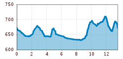
Difficulty:
medium
Length:
5.0 km
Duration:
0:30 h
Elevation uphill:
90 m
Walter Mair Trail Lienzer Talboden - Stage 2

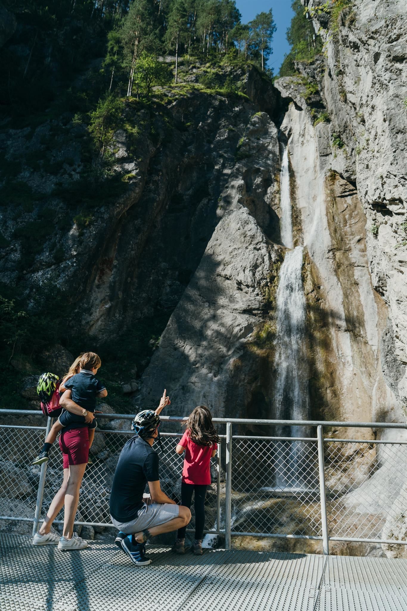
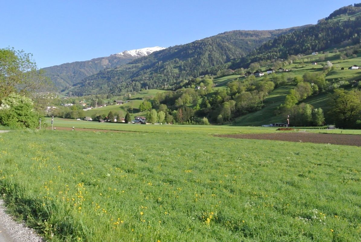
The Lavant forest nature trail and the two-stage Frauenbach waterfall are must-sees. Accompanying the river Drau, which changes from grey to green, and the moor-dark Auenlaue, you are in the quietest corner of the Lienz Talboden. Nikolsdorf with Nörsach, or Chrysanthen, is the easternmost municipality in Tirol.


