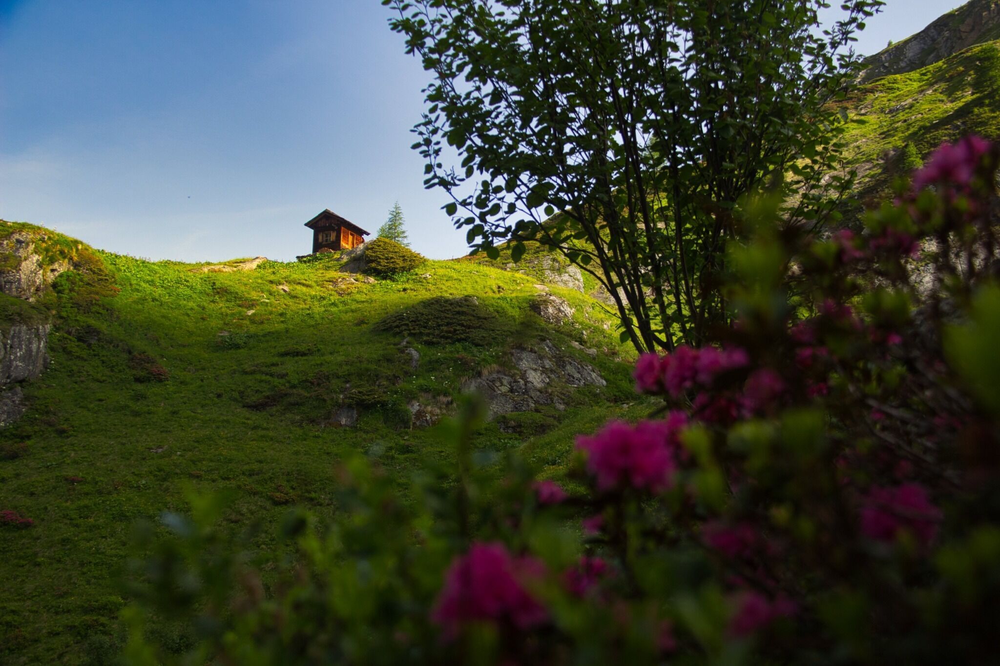
The rucksack is packed, the mountain boots are laced up: off we go for long-distance hiking fun on the Venediger Höhenweg. We leave everyday life in the valley and climb up to the Essener-Rostocker hut - our first stage destination. If you like, you can take advantage of the luggage transport to the hut and make a detour to Lake Simony at the top - including a magnificent view of the glacier world.
Medium-difficulty tour on red mountain paths. Sure-footedness, basic alpine knowledge and a good level of fitness for narrow paths and trails.
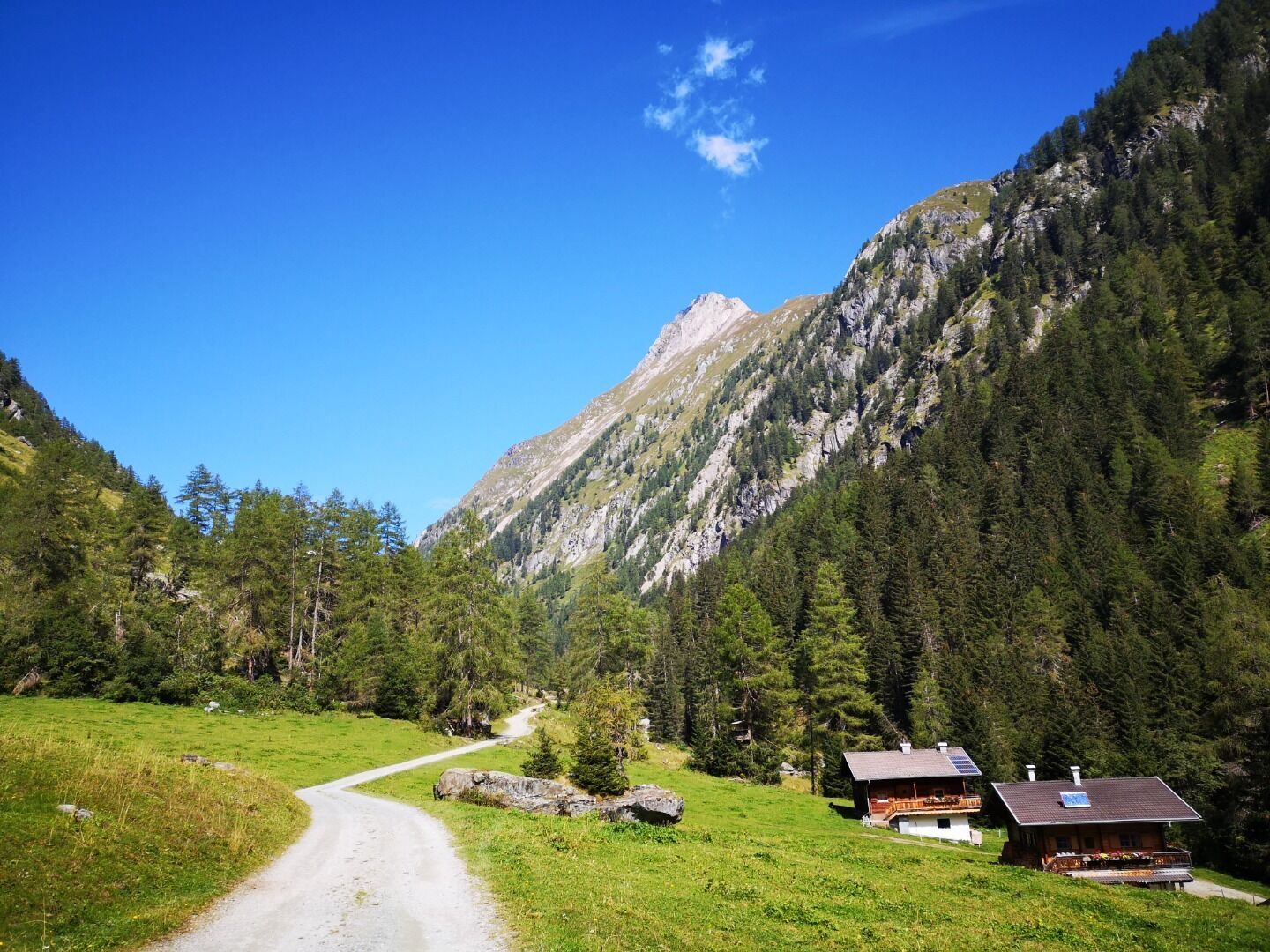
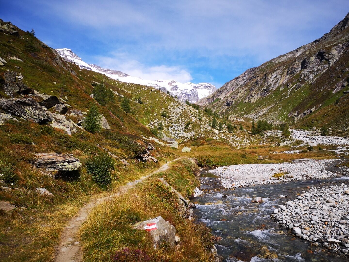
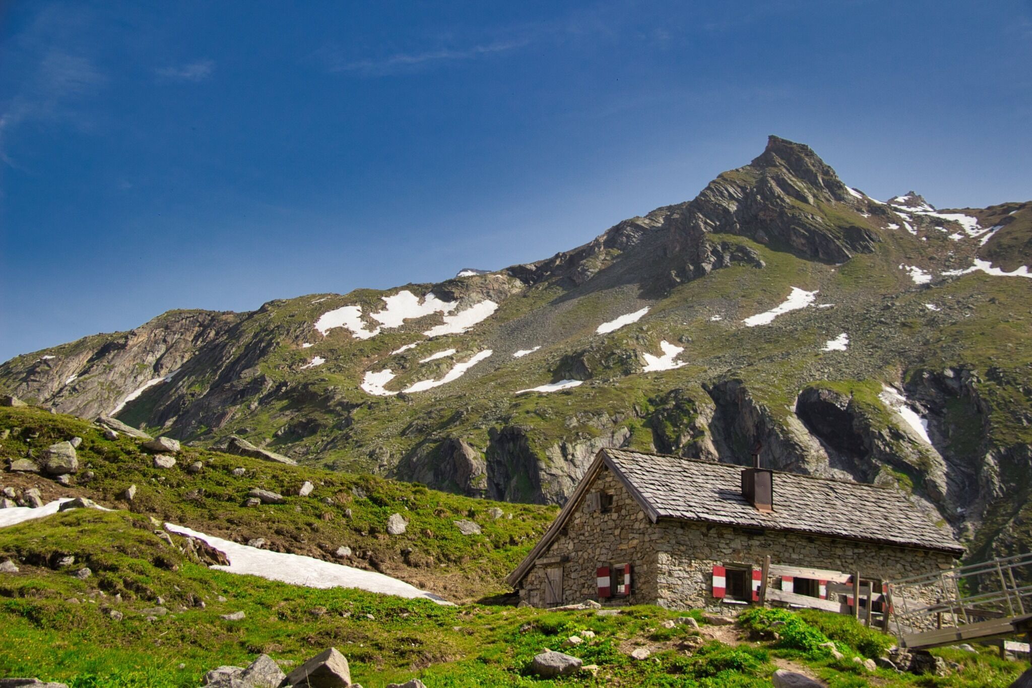
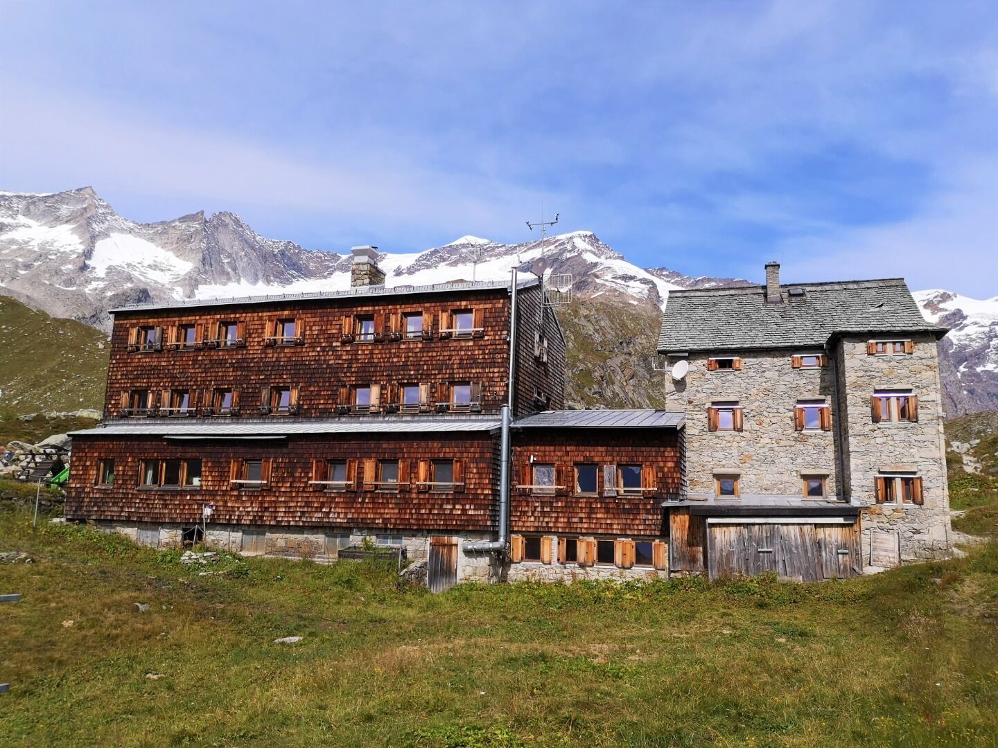


Starting from the car park Ströden in Prägraten am Großvenediger, it goes along the road to the Maurertal to the valley station of the material cable car. (Luggage transport possible!) The trail leads through larch and spruce forests along the Maurerbach stream. After the upper Ochsnerhüttet, you reach the Essener-Rostocker Hütte via a former lateral moraine of the Simonykees: a small detour to the Simonysee with a magnificent view of the glacier world is worthwhile!


www.bergpixel.de")


")


