
Difficulty:
easy
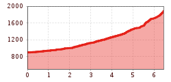
Length:
9.0 km
Duration:
2:30 h
Elevation uphill:
140 m
Summit tour: Gacher Blick
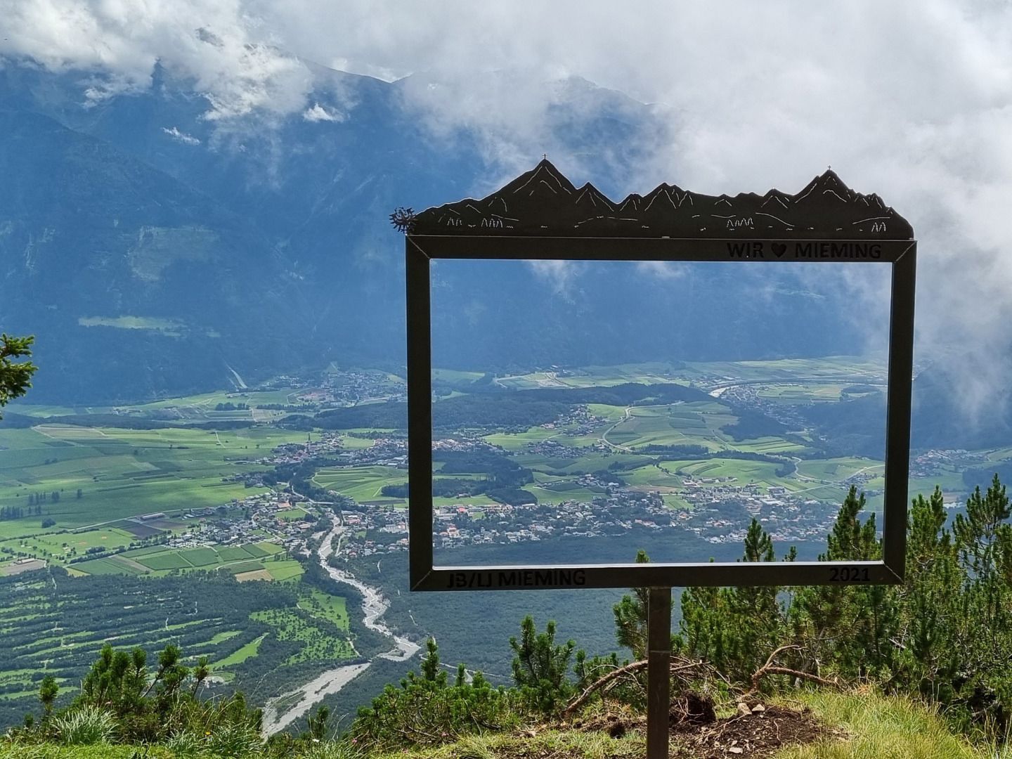
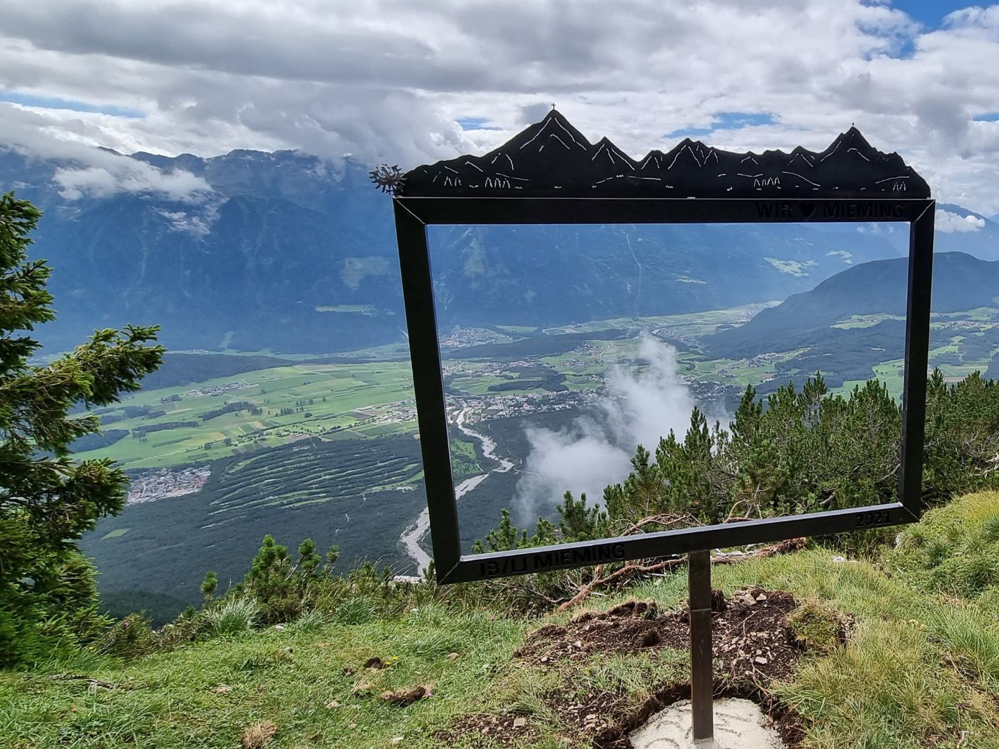
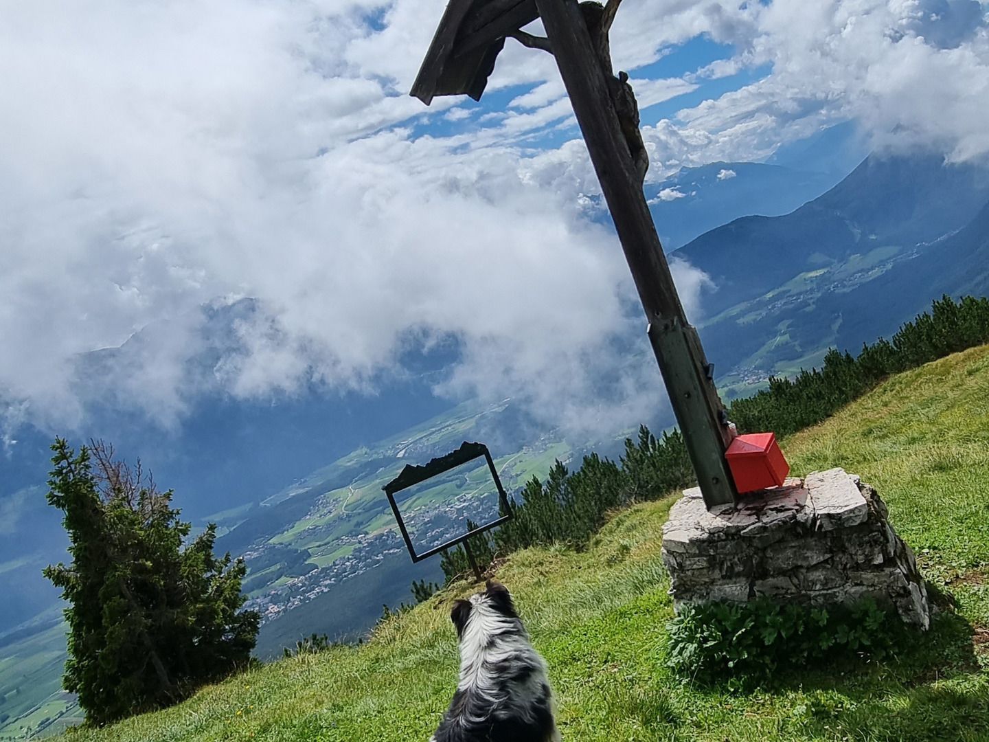
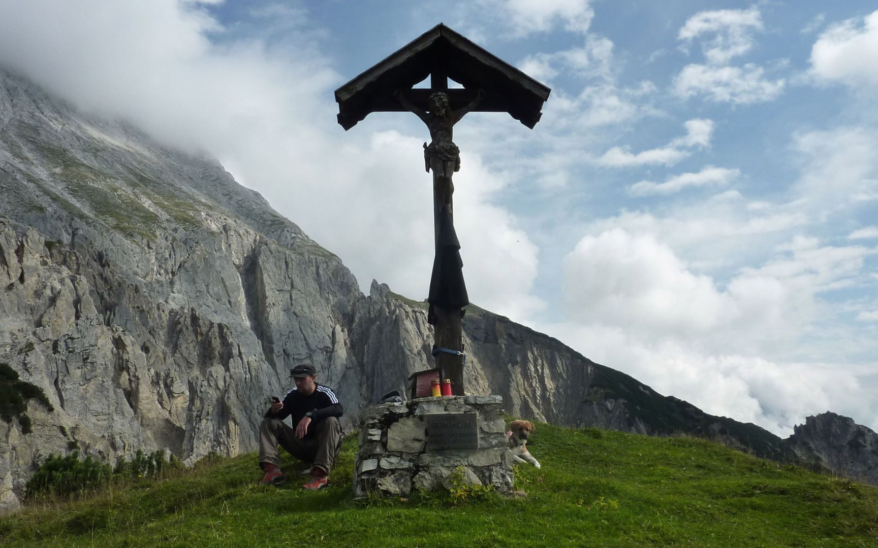
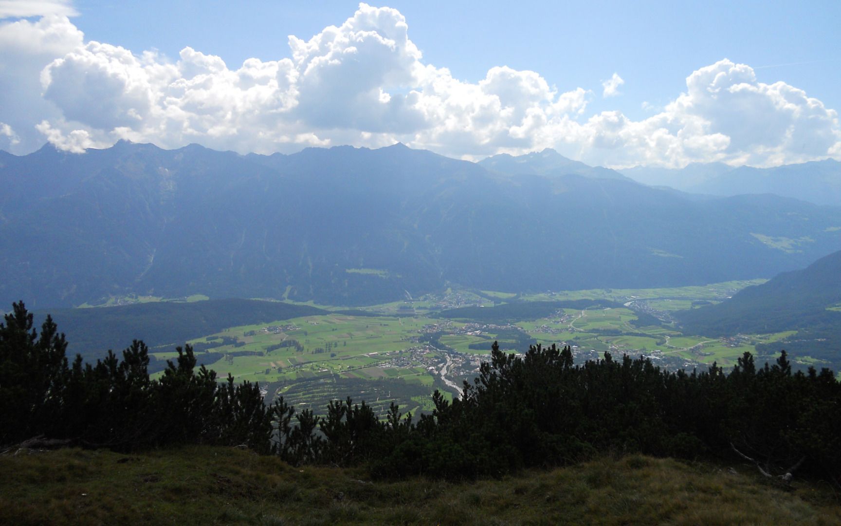
From the car park, head through the gate and follow the gravel path towards the Stöttlalm mountain hut. Before reaching the Stöttlalm, you will come to a fork in the road. Take the route that leads through the forest towards the Boasligbrücke bridge. This good gravel path zigzags up the mountain and covers quite a few vertical metres. From the Boasligbrücke bridge, take the Pfarrer-Kathrein-Steig trail towards Henneberg and then continue along a varied and relatively steep path up to the Gachen Blick viewpoint. There you can enjoy magnificent alpine views and the impressive sight of the Judenklamm gorge below.


