.jpg")
Opening hours:
open
Difficulty:
medium
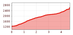
Length:
14.0 km
Duration:
6:00 h
Elevation uphill:
718 m
Rosskogel, 2,646 m (AV155)
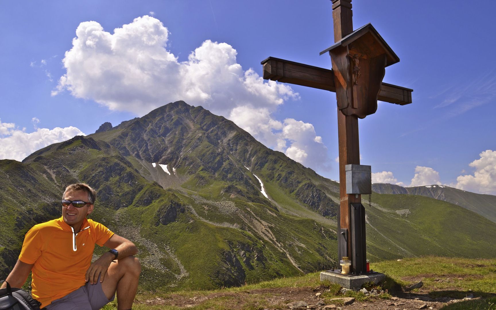
Start at the church in Gries and walk 200 metres to the turnoff for Heuriesenweg. Follow the trail north around steep hairpin bends, first through the forest and then up to the alpine pastures on the Sonnberg. The path from there starts easy and later becomes steep as it leads via Hirscheben and up to the summit of Rosskogel mountain, where you can enjoy magnificent panoramic views of the Nordtiroler Kalkalpen (the Limestone Alps of North Tyrol), the Inn Valley and the alpine foothills of the Stubai, Ötz and Tux Alps. Follow the same route back down or hike via Kögele to St. Quirin and Sellrain (no. 11).


_WaLogo.jpg")


.jpg")


