
Difficulty:
difficult
Length:
8.3 km
Duration:
3:30 h
Elevation uphill:
498 m
Rendltour 7111
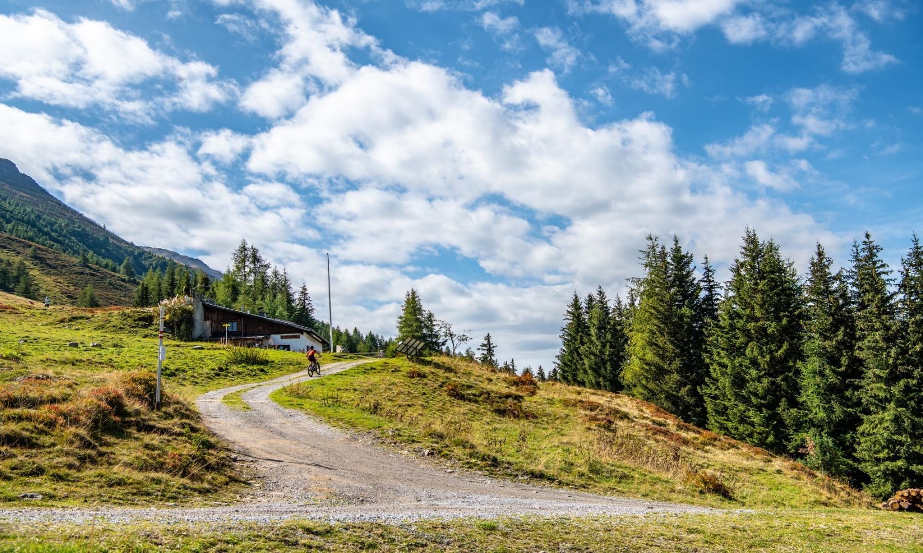
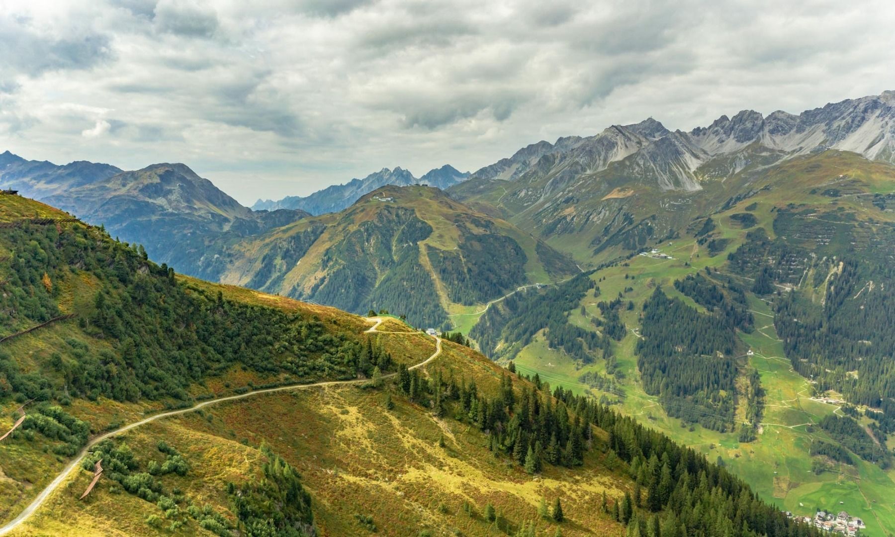
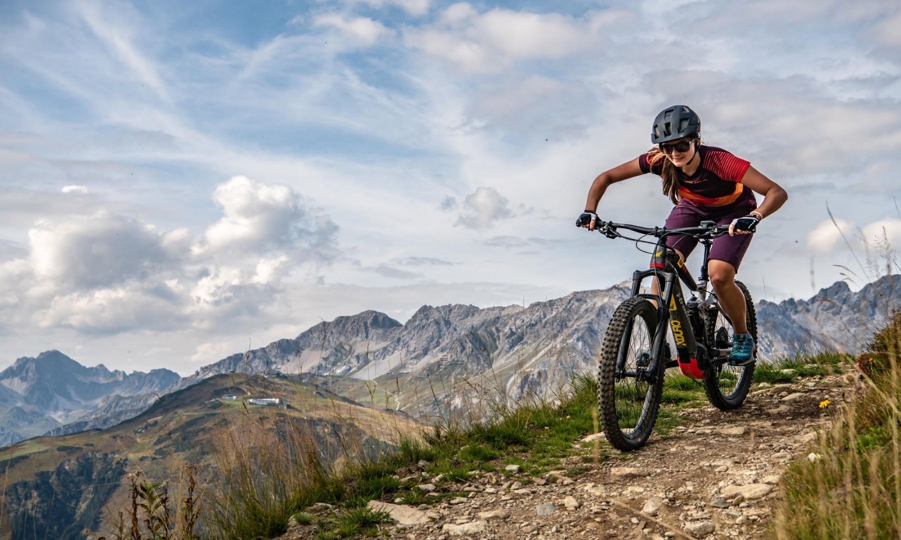
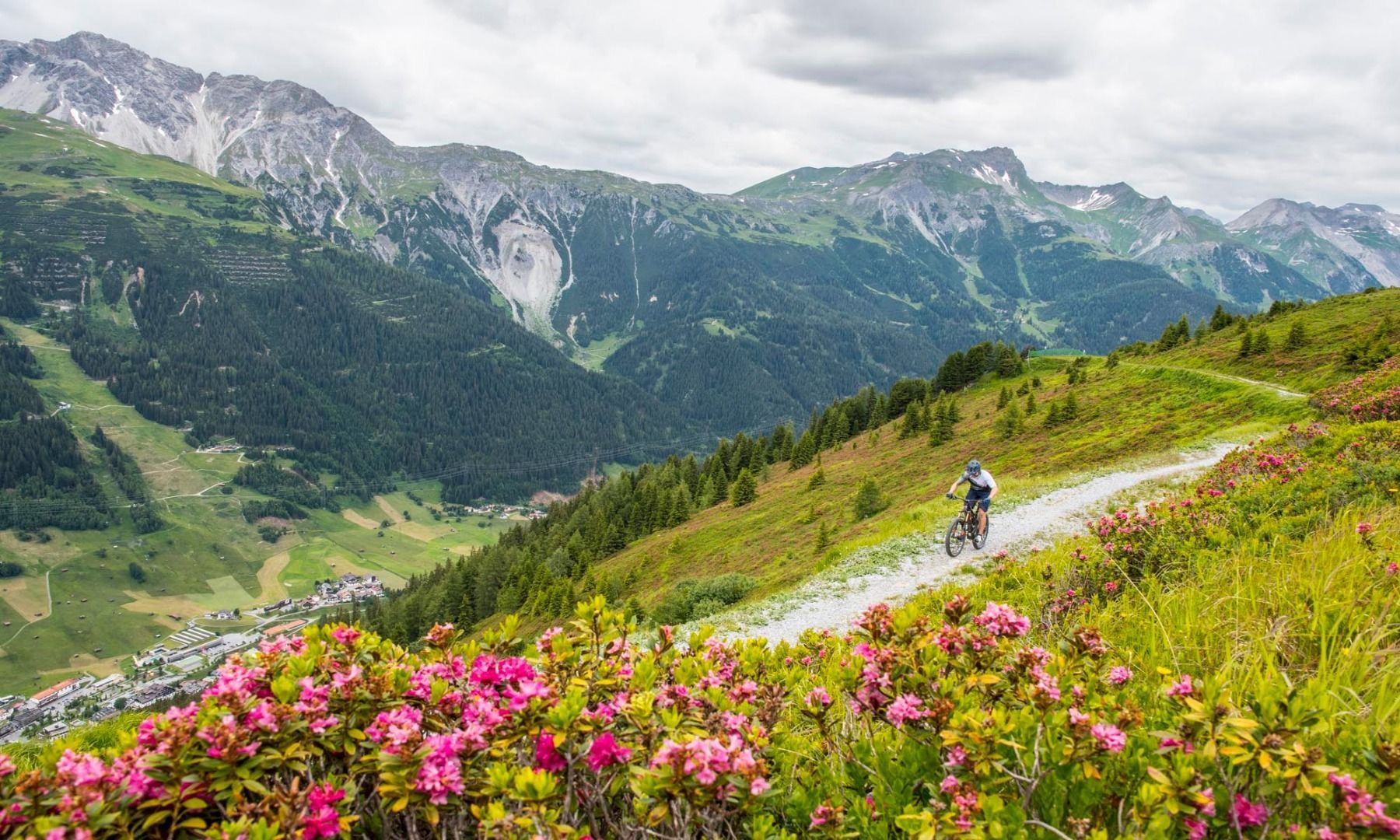
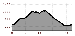
Starting at the Arlberg WellCom, the trail first leads to the old Rendl cable car. Here you branch off over a bridge onto a steep but well-surfaced road into the Moostal. After about 3.8 kilometres you reach the fork where you turn left towards the Rendl mountain station. Once at the mountain station, follow the well-signposted Rendl trail until you reach the forest road again. This leads you directly to the Rendl Alm where you can take a refreshing break. Well refreshed, you now follow the forest path down into the valley and follow the Stanzertal cycle path in the direction of St. Anton to get back to the Arlberg WellCom.


