
Difficulty:
difficult
Length:
8.3 km
Duration:
3:30 h
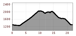
Elevation uphill:
498 m
Rendltour 7111
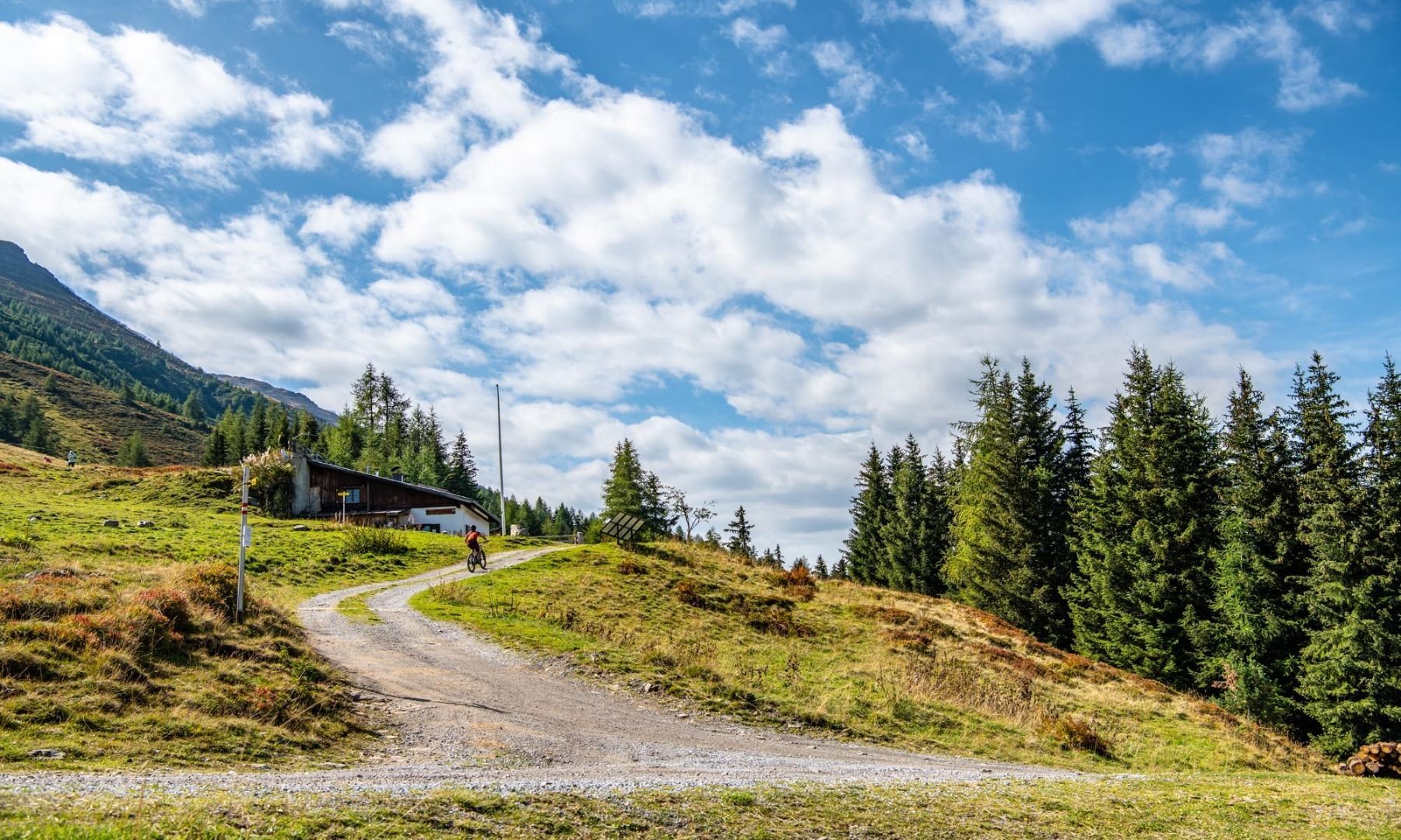
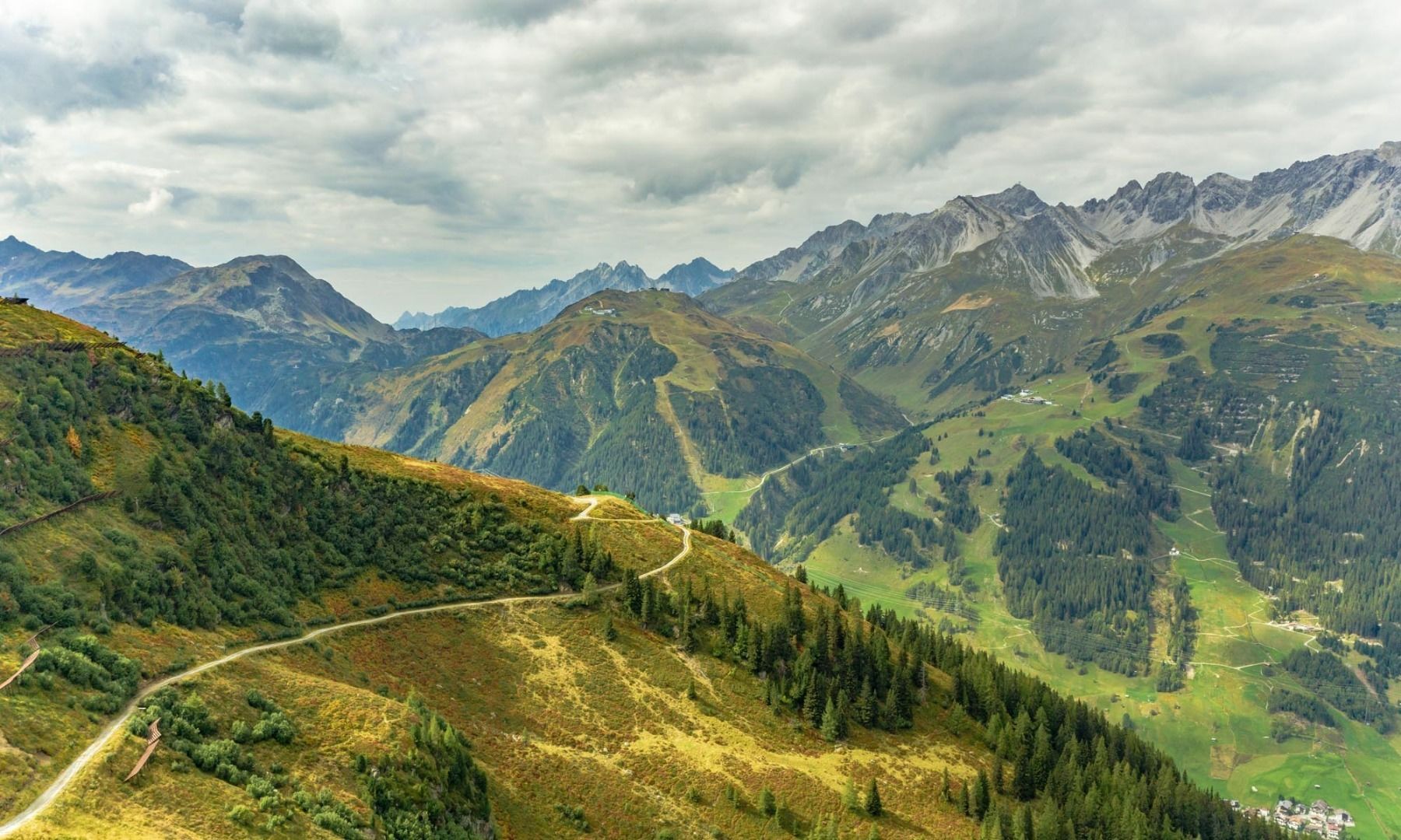
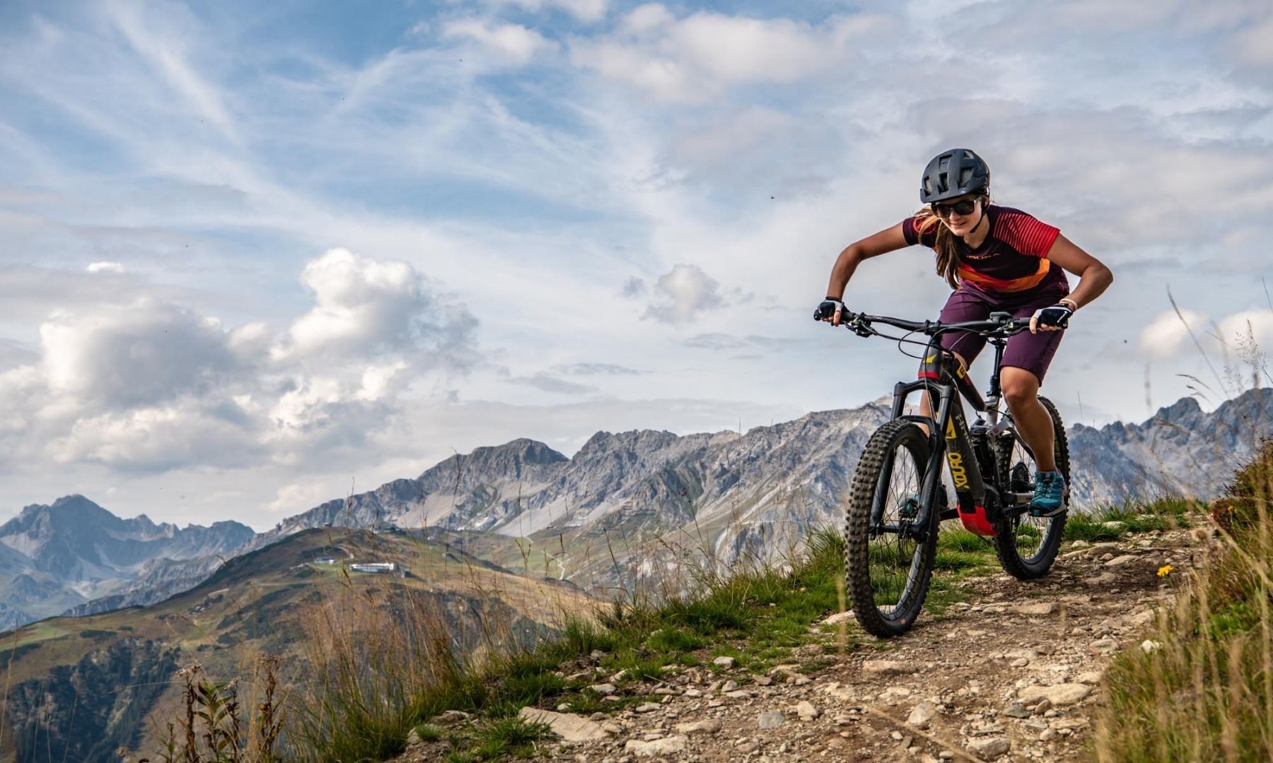
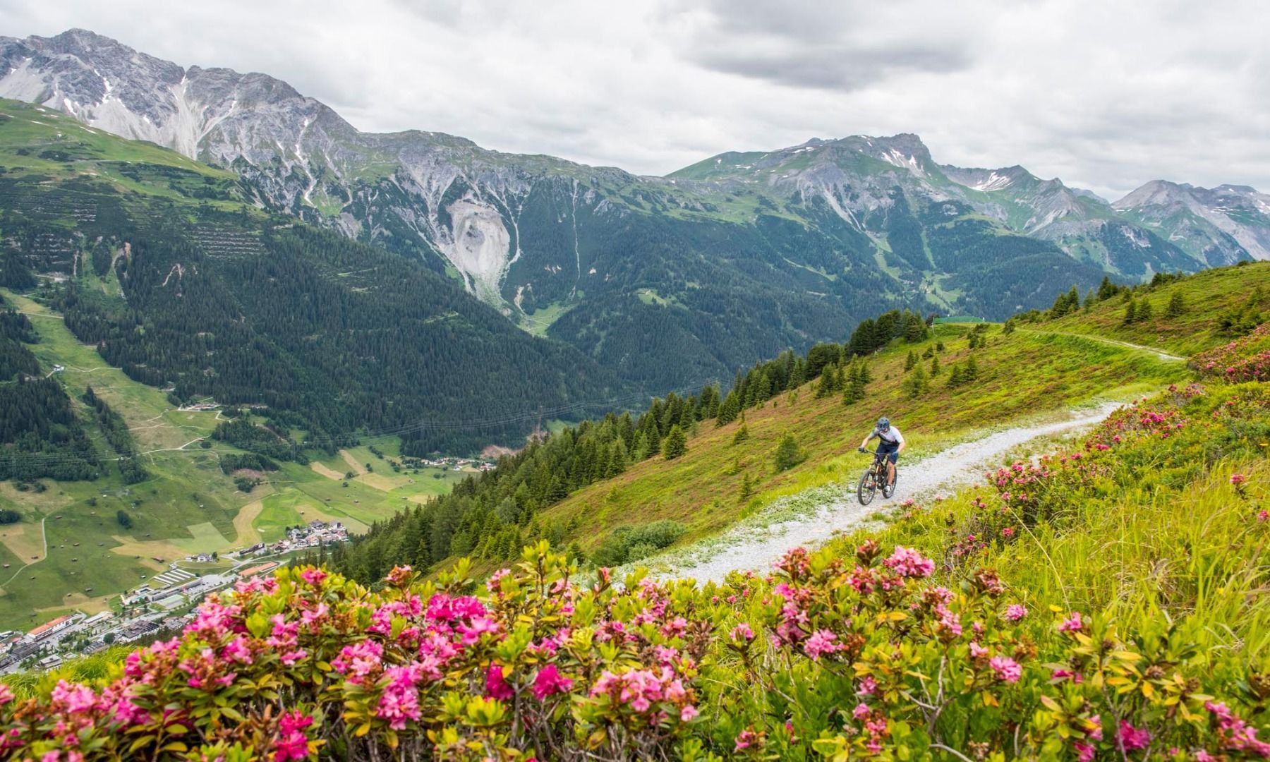
Starting at the Arlberg WellCom, the route first goes through St. Anton to the Stanzertal cycle path. Now head east along the asphalt cycle path until you reach the Guhl curve. Here you turn off the cycle path to the right. Follow the forest path up a fairly pleasant incline to the Rendl Alm. From the Rendl Alm, take the higher forest path in a westerly direction. Then take the well-signposted Rendl Trail to the Rendl mountain station. Now the trail descends into the Moostal valley and later turns right towards St. Anton. From the Rendl valley station, the route then leads back to the Arlberg WellCom.


