Contact
Hilde Klinec
6543 Nauders 255
http://www.alpenverein-bremen.de/huetten/nauderer-huette.html
The Nauderer Hütte (1,910 metres) is a mountain hut in the far west of the Ötztal Alps near the Reschenpass mountain pass, at the point where three countries converge: Austria, Italy and Switzerland.
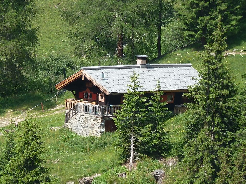
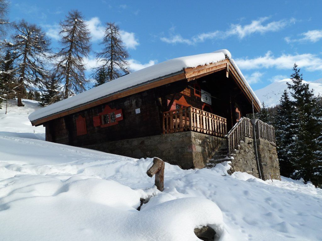

Cosy self-catering hut in the forest
German Alpine Club, Bremen Division
Hikers and climbers don't need too much luxury when it comes to overnight accommodation. The Nauderer Hütte in the Piengtal Valley south-east of Nauders is a self-catering hut offering everything you need and nothing else. It has just one room, which includes a cooking area, living area and sleeping spaces for ten people. The hut has electricity, a wood-burning stove and a water source just outside the front door. There is also an environmentally friendly toilet. The hut is located in the heart of a forest, not far from another hut, the Goldseehütte. It is open all year. Please contact the Alpine Club to book the hut.
From Nauders 2.25 hours on foot; in summer the nearby Goldseehütte can be reached by car; in winter take the the Bergkastelbahn cable car and then ski down to the hut.
Tscheyegg (2,668 metres), 2.5 hours, intermediate
Großer Schafkopf (2,998 metres), 4 hours, intermediate
Bergkastelspitze (2,912 metres), 4 hours, intermediate (via Goldseen lakes; short climbing section at the end)
Mataunkopf (2,893 metres), 3.5 hours, intermediate
Via ferrata climbing routes "Tiroler Weg" (D/E - difficult) and "Goldweg" (D - difficult)
Hohenzollernhaus, 5 hours
Weißkugelhütte (South Tirol, Italy), 8.5 hours
Hilde Klinec
6543 Nauders 255
http://www.alpenverein-bremen.de/huetten/nauderer-huette.html


