Hut Augsburger Hütte

Grins

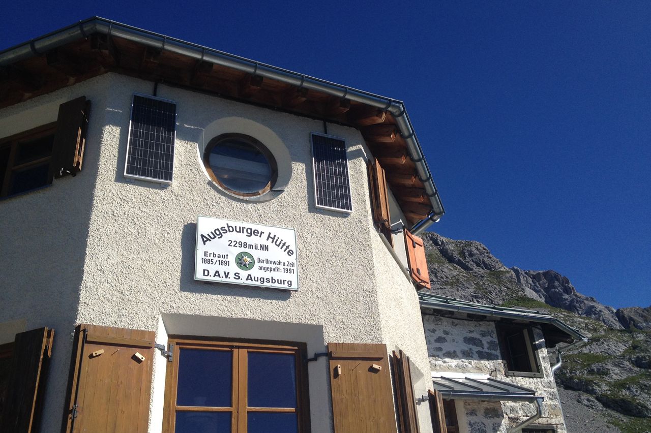
The Augsburger Hütte (2,298 metres) is a German Alpine Club mountain refuge hut. It offers food and accommodation to hikers on the Lech High Trail and the Augsburg High Trail.
Information

Altitude

2,298 m

Mountain range

Lechtal Alps

Sleeps (number of guests)

  • Dormitory/beds:21
  • Dormitory with mattresses:38

Facilities

  • Showers
  • Mobile phone reception
  • Suitable for seminars

Suitable for:

  • mountain hiking
  • High-altitude hikes
  • Rock climbing

Coordinates

  • Geographic length:10.493611111111
  • Geographic width:47.166388888889
  • UTM (east):5224743
  • UTM (east):613198
  • Reference Meridian:9°
Source: Alpenverein

Description

A place to rest amidst the highest peaks of the Lechtal Valley
German Alpine Club Hut, Augsburg Division

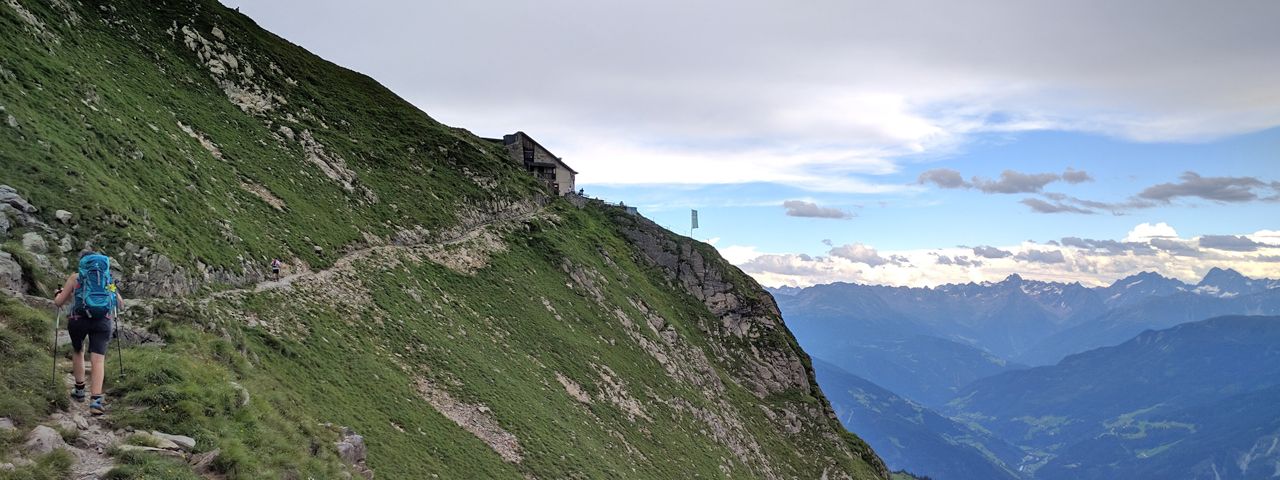
The Augsburger Hütte is a traditional mountain hut built between 1885 and 1891. Despite being well over 100 years old, “she” still looks great and is very well equipped thanks to extensive renovation work as early as 1907 and continuing all the way through to a comprehensive modernisation in the 1990s. Perched on a rocky outcrop, the hut nestles on the southern slopes of the Gatschkopf mountain, offering stunning views of the highest peaks in the Lechtal Alps. A convenient base along the Lech High Trail and the Augsburg High Trail, it is a popular place for hikers to take a break and a welcome stopover for many challenging long-distance walks. Reaching the hut is not particularly easy; mountaineering skills are required for the ascent from the Lechtal Valley in particular. Well-known surrounding mountains: Parseier Spitze, Dawinkopf,  Gatschkopf, Blankahorn.

How to get to the Augsburger Hütte

Von Grins 3.5 hours, from the Lechtal Valley (via Memminger Hütte) 7.5 hours.

Walks and hikes in the area

Parseierspitze (3,038 metres), climbing route, 2.75 hours, difficult
Dawinkopf (2,970 metres), 3 hours, difficult
Gatschkopf (2,945 metres), 2 hours, difficult
Blankahorn (2,823 metres), 3 hours

Further huts in the area, long-distance walking trails

Ansbacher Hütte (via Augsburg High Trail), 9 hours
Memminger Hütte, 5.5 hours
Württemberger Haus, 8 hours

The Augsburger Hütte is located on the Augsburg High Trail and the Lech High Trail, two challenging long-distance walking trails for experienced hikers.

Getting here

Weather

Today

mainly clear
17°C/7°C
20%0l5 km/h

Thu

mainly clear
17°C/5°C
0%0l5 km/h

Fri

mainly clear
18°C/5°C
5%0l5 km/h
Go to weather forecast

Nearby huts

  • Vinzenz-Biedner-Hütte

    Place:Schober Mountains
    :1,850 m
    :Suitable formountain hikingRock climbingMountain bikeSki touring
  • Hans Berger Haus

    Place:Kaiser Mountains
    :936 m
    :Suitable formountain hikingRock climbing
  • Hochwildalm

    Place:Kitzbühel Alps
    :1,557 m
    :Suitable formountain hikingSki touring
  • Padasterjochhaus

    :2,232 m
    :Suitable formountain hikingMountain bikeSki touring
  • Voldertalhütte

    Opening hours:Temporarily closed
    Place:Tux Alps
    :1,376 m
    :Suitable formountain hikingMountain bike
  • Tribulaunhütte

    Place:Stubai Alps
    :2,064 m
    :Suitable formountain hikingRock climbing
  • Schweinfurter Hütte

    Place:Stubai Alps
    :2,028 m
    :Suitable formountain hikingHigh-altitude hikesRock climbingMountain bikeSki touring
  • Sillianer Hütte

    Place:Carnic Alps
    :2,447 m
    :Suitable formountain hikingMountain bikeSki touring
  • Spitzsteinhaus

    Place:Chiemgau Alps
    :1,252 m
    :Suitable formountain hikingMountain bikeSki touring
  • Starkenburger Hütte

    Place:Stubai Alps
    :2,237 m
    :Suitable formountain hikingRock climbingMountain bike
  • Steinseehütte

    Place:Lechtal Alps
    :2,061 m
    :Suitable formountain hikingRock climbing
  • Stripsenjochhaus

    Place:Kaiser Mountains
    :1,577 m
    :Suitable formountain hikingRock climbing
  • Taschachhaus

    Place:Ötztal Alps
    :2,434 m
    :Suitable forHigh-altitude hikesRock climbingSki touring
  • Vinzenz-Tollinger-Hütte

    Place:Tux Alps
    :1,229 m
    :Suitable foralpine skiingmountain hikingSki touring
  • Vorderkaiserfeldenhütte

    Place:Kaiser Mountains
    :1,388 m
    :Suitable formountain hikingRock climbingSki touring
  • Weidener Hütte

    Place:Tux Alps
    :1,799 m
    :Suitable formountain hikingMountain bikeSki touring
  • Wildseeloderhaus

    Place:Kitzbühel Alps
    :1,854 m
    :Suitable formountain hiking
  • Schüsselkar-Biwak

    Place:Wetterstein / Mieminger Mountains
    :2,536 m
  • Siegerlandhütte

    Place:Stubai Alps
    :2,710 m
    :Suitable formountain hikingHigh-altitude hikesRock climbingSki touring
  • Straubinger Haus

    Place:Chiemgau Alps
    :1,558 m
    :Suitable formountain hikingMountain bikeSki touring
  • Stüdlhütte

    Place:Glockner Mountains
    :2,801 m
    :Suitable forHigh-altitude hikesRock climbingSki touring
  • Stuttgarter Hütte

    Place:Lechtal Alps
    :2,310 m
    :Suitable formountain hikingRock climbingMountain bike
  • Sulzenauhütte

    Place:Stubai Alps
    :2,191 m
    :Suitable formountain hikingHigh-altitude hikesRock climbingSki touring
Newsletter

The mountain is calling? So does our newsletter!

In our monthly newsletter we reveal the best holiday tips for Tyrol.