
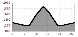
Difficulty:
difficult
Length:
8.3 km
Duration:
3:30 h
Elevation uphill:
498 m
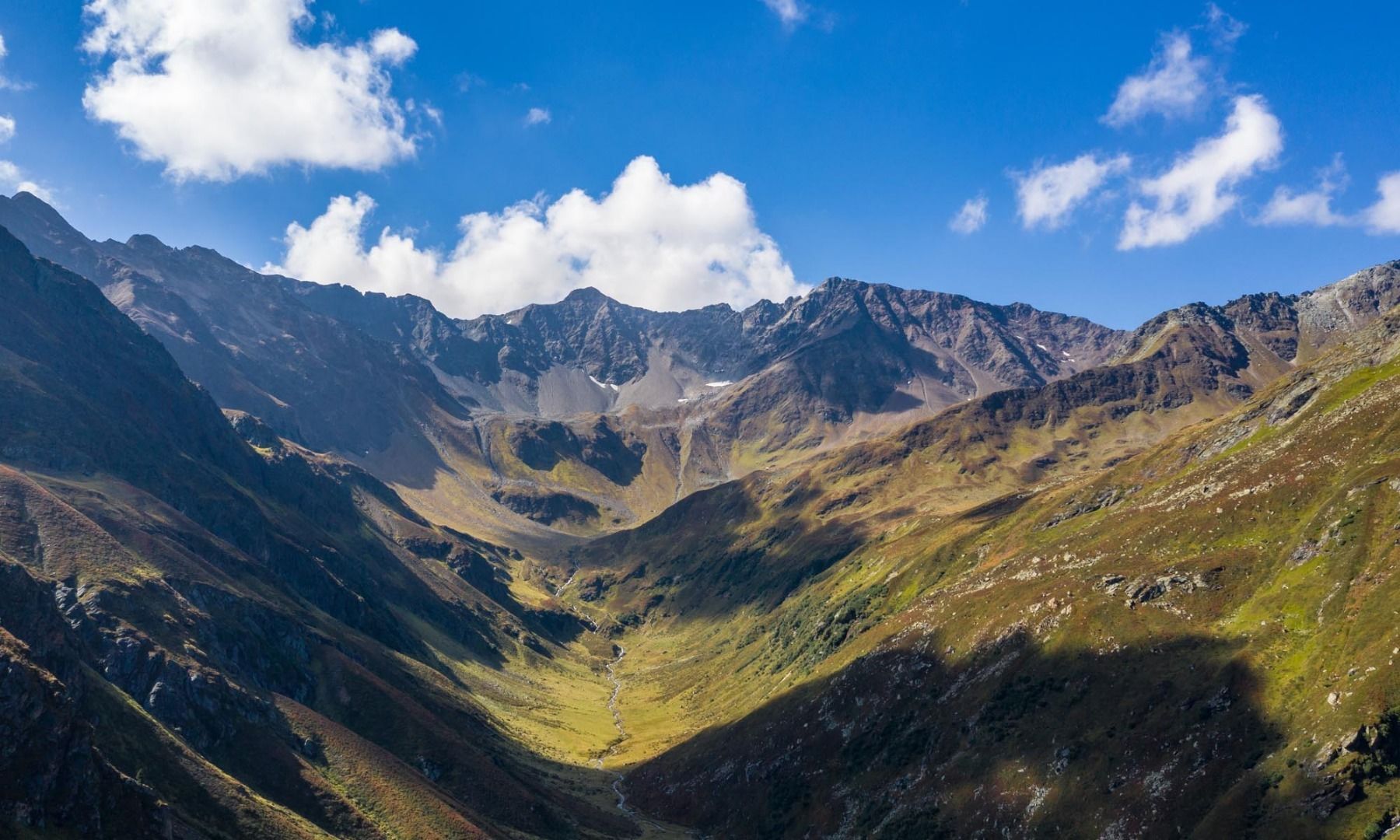
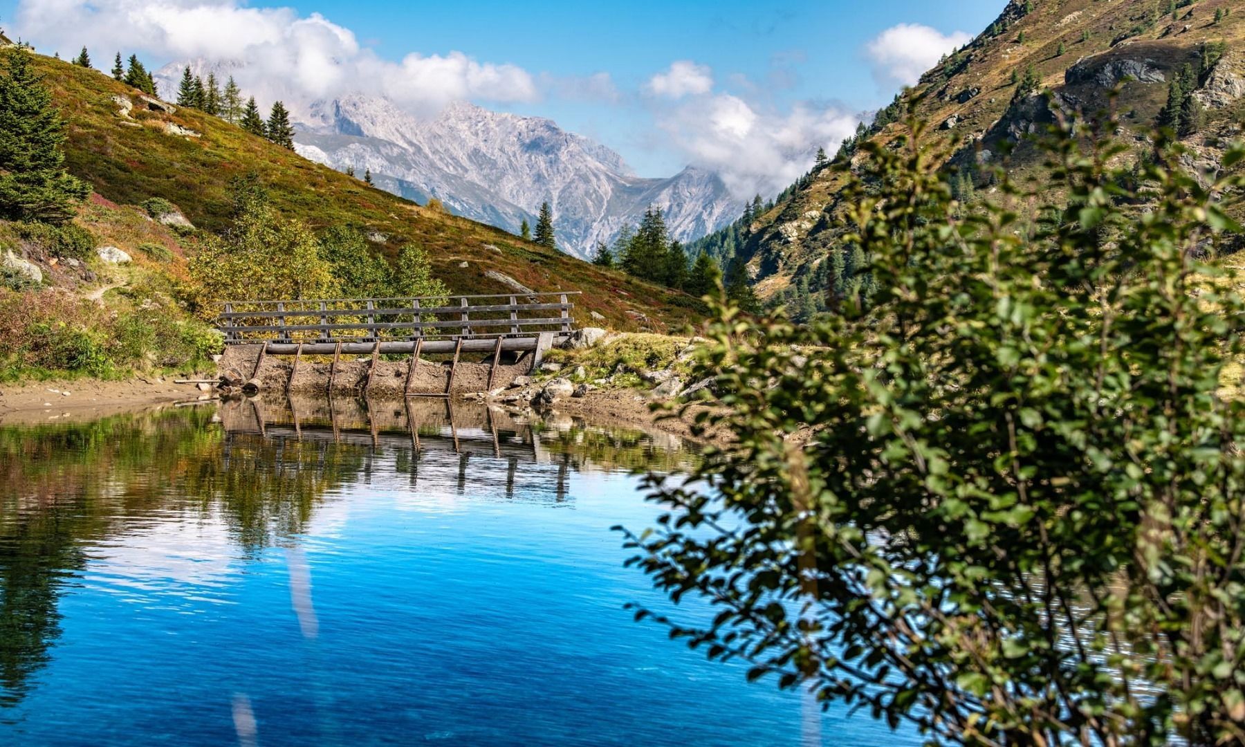
Malfontal 701
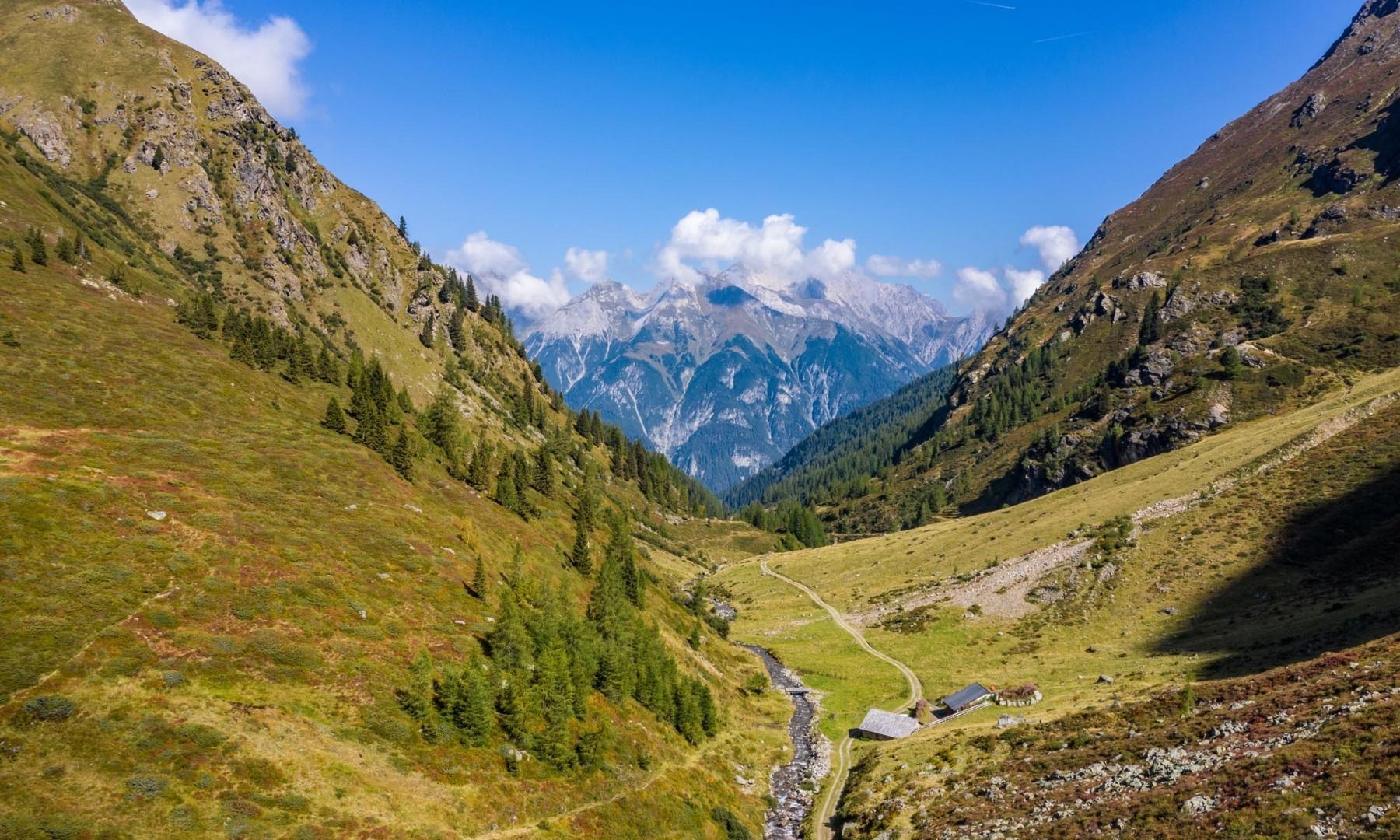
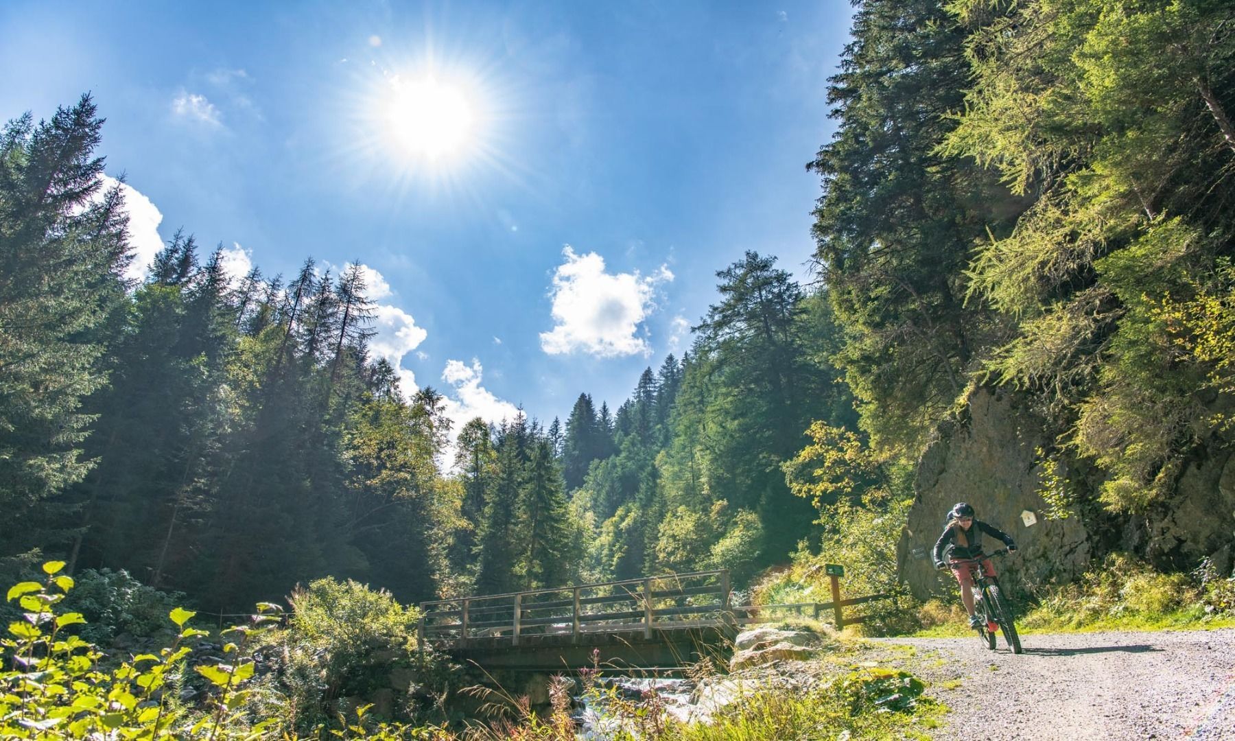
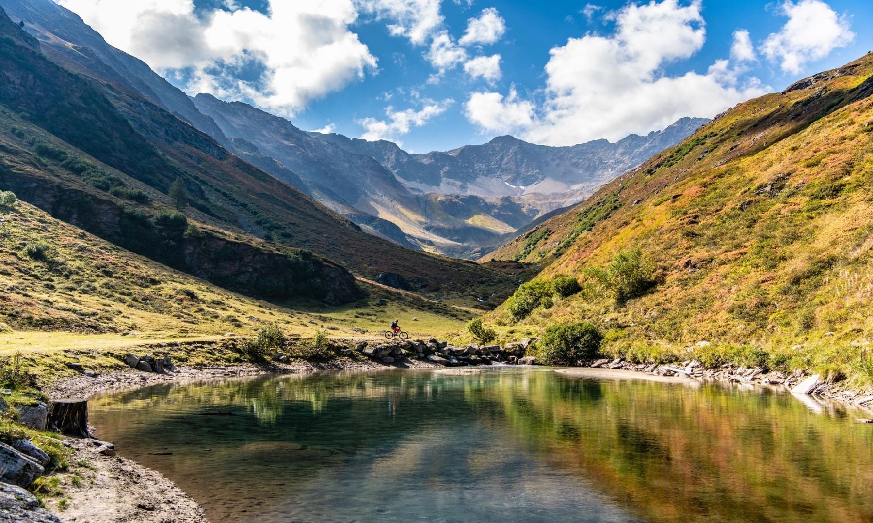
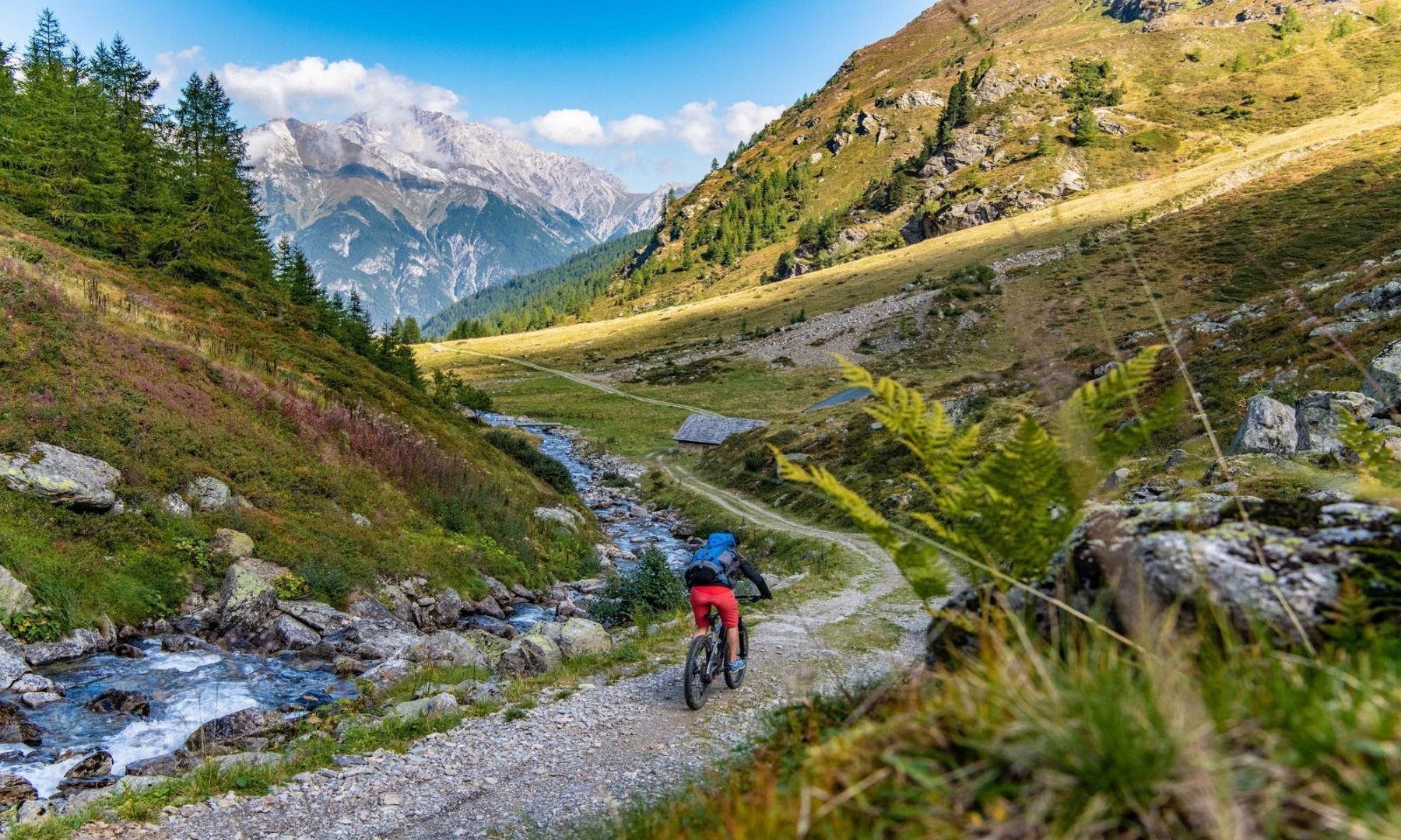
Starting at the Arlberg WellCom, you first head east along the Kunstmeile to the valley station of the Nasserein cable car. Once there, turn right in a southerly direction and continue to the start of the Stanzertal cycle path. From here the well-signposted cycle path leads along the Rosanna. Pass the Wellnesspark Arlberg, cross the bridge and turn left. Now follow the signs into the Malfontal valley. A steep but well-surfaced road leads directly to the Malfonalm. Return the same way.


